|
USS Discoverer (ARS-3)
USS ''Auk'' (AM-38) was a ''Lapwing''-class minesweeper acquired by the United States Navy after World War I to remove mines that had been placed during the war. The first ship to be named ''Auk'' by the Navy, ''Minesweeper No. 38'' was laid down on 20 June 1918 at New York City by the Todd Shipyard Corp.; launched on 28 September 1918; sponsored by Miss Nan McArthur Beattie daughter of a Todd Shipyard foremen, and commissioned at the New York Navy Yard on 31 January 1919. Between World War I and World War II, ''Auk'' was converted into a survey vessel for the Coast and Geodetic Survey, and was renamed USS ''Discoverer'' (ARS-3) as well as USC&GS ''Discoverer''. World War I-related service On completion of her initial fitting out and dock trials, ''Auk'' proceeded to Tompkinsville, Staten Island, on the afternoon of 24 February reporting to Minesweeping Division, 3d Naval District. On 2 March, ''Auk'' sailed for Newport, Rhode Island, in company with (''Minesweeper No. 8 ... [...More Info...] [...Related Items...] OR: [Wikipedia] [Google] [Baidu] |
Aleutian Islands
The Aleutian Islands ( ; ; , "land of the Aleuts"; possibly from the Chukchi language, Chukchi ''aliat'', or "island")—also called the Aleut Islands, Aleutic Islands, or, before Alaska Purchase, 1867, the Catherine Archipelago—are a chain of 14 main, larger volcanic islands and 55 smaller ones. Most of the Aleutian Islands belong to the U.S. state of Alaska, with the archipelago encompassing the Aleutians West Census Area, Alaska, Aleutians West Census Area and the Aleutians East Borough, Alaska, Aleutians East Borough. The Commander Islands, located further to the west, belong to the Russian Federal subjects of Russia, federal subject of Kamchatka Krai, of the Russian Far East. The islands form part of the Aleutian Arc of the Northern Pacific Ocean, and occupy a land area of 6,821 sq mi (17,666 km2) that extends westward roughly from the Alaska Peninsula, Alaskan Peninsula mainland, in the direction of the Kamchatka Peninsula; the archipelago acts as a border between ... [...More Info...] [...Related Items...] OR: [Wikipedia] [Google] [Baidu] |
3d Naval District
United States Naval Districts is a system created by the United States Navy to organize military facilities, numbered sequentially by geographic region, for the operational and administrative control of naval bases and shore commands in the United States and around the world. Established in 1903, naval districts became the foundational system for organizing U.S. naval forces ashore during the 20th century. The term "Navy, Naval" forces includes United States Marine Corps and current United States Coast Guard units. About half of nearly 20 numbered naval districts, after decades of service as successful naval operational support commands, were merged or disestablished by the U.S. Navy between 1970 and 1998. By 1999 the remaining U.S. naval districts were reorganized and renamed as United States Navy Regions, Navy Regions, except for Naval District Washington DC. The revised U.S. Navy organization of 11 geographic regions is now administered under Commander, Navy Installations Comm ... [...More Info...] [...Related Items...] OR: [Wikipedia] [Google] [Baidu] |
Flagship
A flagship is a vessel used by the commanding officer of a group of navy, naval ships, characteristically a flag officer entitled by custom to fly a distinguishing flag. Used more loosely, it is the lead ship in a fleet of vessels, typically the first, largest, fastest, most heavily armed, or best known. Over the years, the term "flagship" has become a metaphor used in industries such as broadcasting, automobiles, education, technology, airlines, and retail to refer to their highest quality, best known, or most expensive products and locations. Naval use In common naval use, the term ''flagship'' is fundamentally a temporary designation; the flagship is wherever the admiral's flag is being flown. However, admirals have always needed additional facilities, including a meeting room large enough to hold all the captains of the fleet and a place for the admiral's staff to make plans and draw up orders. Historically, only larger ships could accommodate such requirements. The ter ... [...More Info...] [...Related Items...] OR: [Wikipedia] [Google] [Baidu] |
Kirkwall
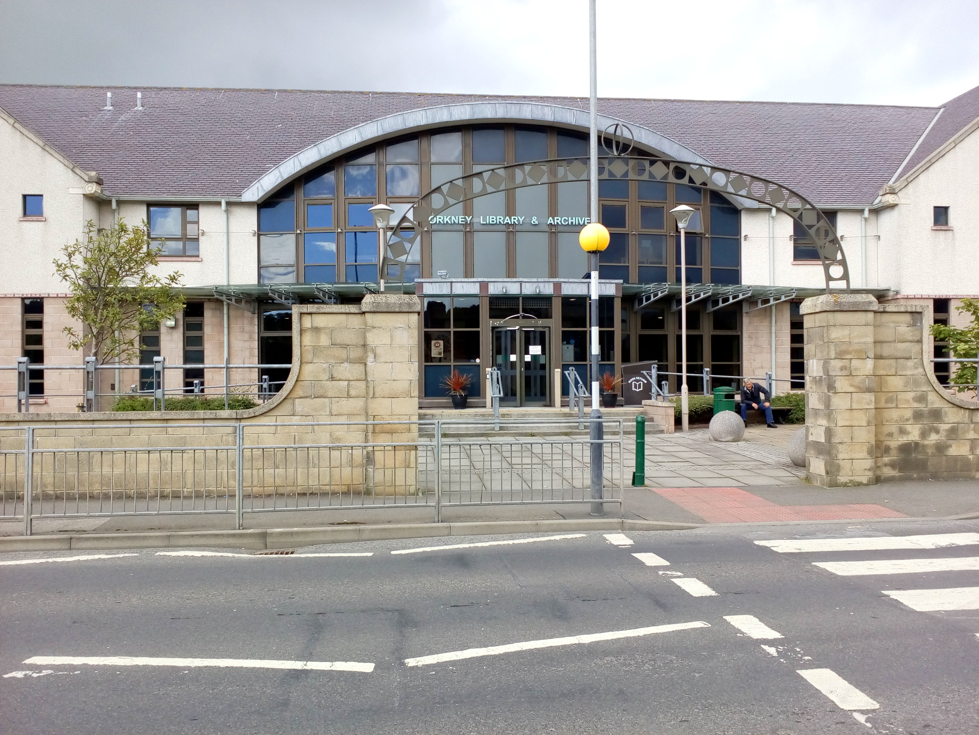
Kirkwall (, , or ; ) is the largest town in Orkney, an archipelago to the north of mainland Scotland. First mentioned in the ''Orkneyinga saga'', it is today the location of the headquarters of the Orkney Islands Council and a transport hub with ferries to many locations. It is the centre of the St Magnus Festival, St Magnus International Festival and is also a popular stopping off point for cruise ships. St Magnus Cathedral stands at the heart of the town. Etymology The name Kirkwall comes from the Old Norse, Norse name meaning "church bay", the settlement having been established by the Norsemen in the 11th century. As late as 1525 the name is recorded as Kirkevaag. This became in time "Kirkwaa" and then eventually Kirkwall - but how the second syllable came to be spelled "wall" is not certain. MacBain quotes F. W. L. Thomas: "How, I ask, could ''vágr'' come to be represented by wall? Whence came the ''ll''? Was it that Scottish immigrants finding the sound of ''vá'' repre ... [...More Info...] [...Related Items...] OR: [Wikipedia] [Google] [Baidu] |
Orkney Islands
Orkney (), also known as the Orkney Islands, is an archipelago off the north coast of mainland Scotland. The plural name the Orkneys is also sometimes used, but locals now consider it outdated. Part of the Northern Isles along with Shetland, Orkney is 10 miles (16 km) north of Caithness and has about 70 islands, of which 20 are inhabited.Haswell-Smith (2004) pp. 336–403. The largest island, the Mainland, has an area of , making it the sixth-largest Scottish island and the tenth-largest island in the British Isles. Orkney's largest settlement, and also its administrative centre, is Kirkwall. Orkney is one of the 32 council areas of Scotland, as well as a constituency of the Scottish Parliament, a lieutenancy area, and an historic county. The local council is Orkney Islands Council. The islands have been inhabited for at least years, originally occupied by Mesolithic and Neolithic tribes and then by the Picts. Orkney was colonised and later annexed by the Kin ... [...More Info...] [...Related Items...] OR: [Wikipedia] [Google] [Baidu] |
Provincetown, Massachusetts
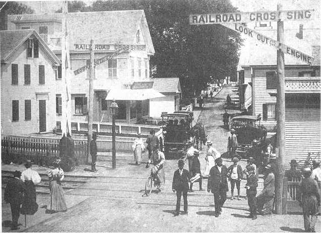
Provincetown () is a New England town located at the extreme tip of Cape Cod in Barnstable County, Massachusetts, in the United States. A small coastal resort town with a year-round population of 3,664 as of the 2020 United States census, Provincetown has a summer population as high as 60,000. Often called "P-town" or "Ptown", the locale is known as a vacation destination for its beaches, Provincetown Harbor, harbor, artists and tourist industry. History At the time of European encounter, the area was long settled by the historic Nauset tribe, who had a settlement known as "Meeshawn". They spoke Massachusett language, Massachusett, a Southern New England Algonquian languages, Algonquian language dialect that they shared in common with their closely related neighbors, the Wampanoag people, Wampanoag. On May 15, 1602, having made landfall from the west and believing it to be an island, Bartholomew Gosnold initially named this area "Shoal Hope". Later that day, after catching ... [...More Info...] [...Related Items...] OR: [Wikipedia] [Google] [Baidu] |
President Roads
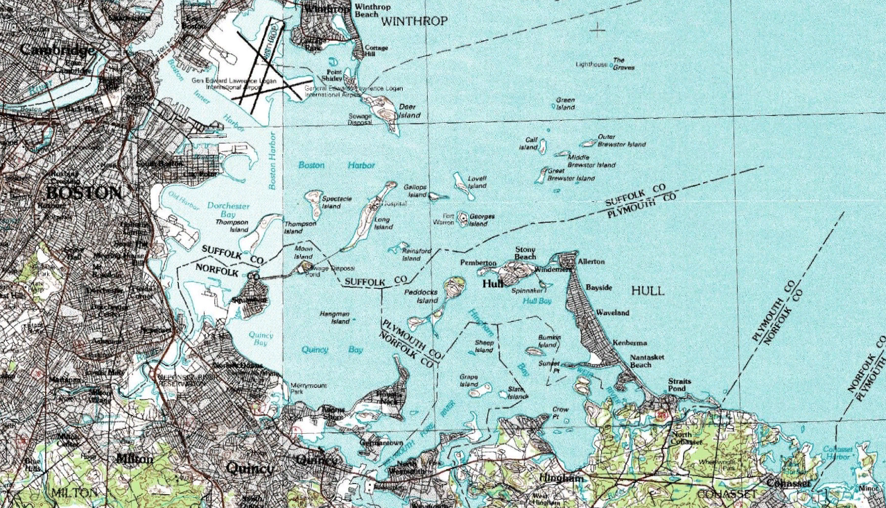
Boston Harbor is a natural harbor and estuary of Massachusetts Bay, located adjacent to Boston, Massachusetts. It is home to the Port of Boston, a major shipping facility in the Northeastern United States. History 17th century Since its discovery by Europeans by John Smith (explorer), John Smith in 1614, Boston Harbor has been an important port in American history. Boston Harbor was recognized by Europeans as one of the finest natural harbors in the world due to its depth and natural defense from the Atlantic as a result of the Boston Harbor Islands National Recreation Area, many islands that dot the harbor. It was also favored due to its access to the Charles River, Neponset River, and Mystic River, which made travel from the harbor deeper into Massachusetts far easier. By 1660, almost all imports came to the greater Boston area and the New England coast through the waters of Boston Harbor. A rapid influx of people transformed Boston into an exploding city. 18th century ... [...More Info...] [...Related Items...] OR: [Wikipedia] [Google] [Baidu] |


