|
Tsultrim Chonjor
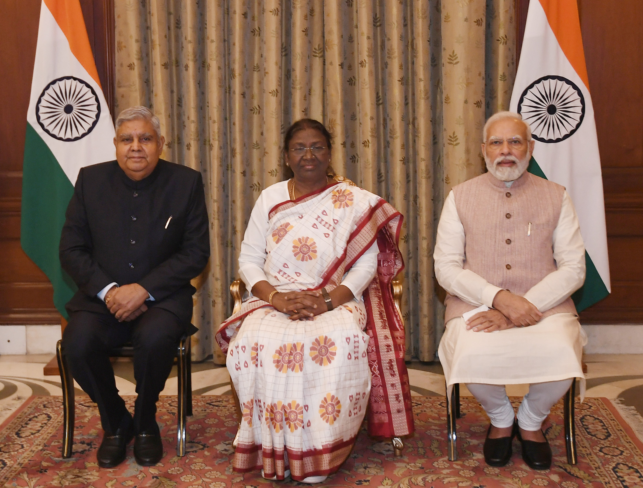
Tsultrim Chonjor also known as Chultim Chonjor and Meme Chonjor is an Indian social worker from Stongdey village of Ladakh. The Government of India honoured him with Padma Shri, the fourth highest Indian civilian award in 2021. Social work From 1965 to 2000, He worked as Indian government employee in the state handicrafts department. His dissatisfaction with the lack of road connectivity in the region prompted him to take action. Chonjor's social work began, when he started alone the construction of a 38-kilometer road stretch connecting Kargyak village in Ladakh's Zanskar valley to Darcha village in the tribal Lahaul and Spiti district of Himachal Pradesh via Shinku La, in 2014 to 2017. which cost him Rs 57 lakh of his own funds and he even sold his ancestral property to fund the road's construction. His got recognition from the Border Roads Organisation The Border Roads Organisation (BRO) is a statutory body under the ownership of the Ministry of Defence of the Gove ... [...More Info...] [...Related Items...] OR: [Wikipedia] [Google] [Baidu] |
Zanskar
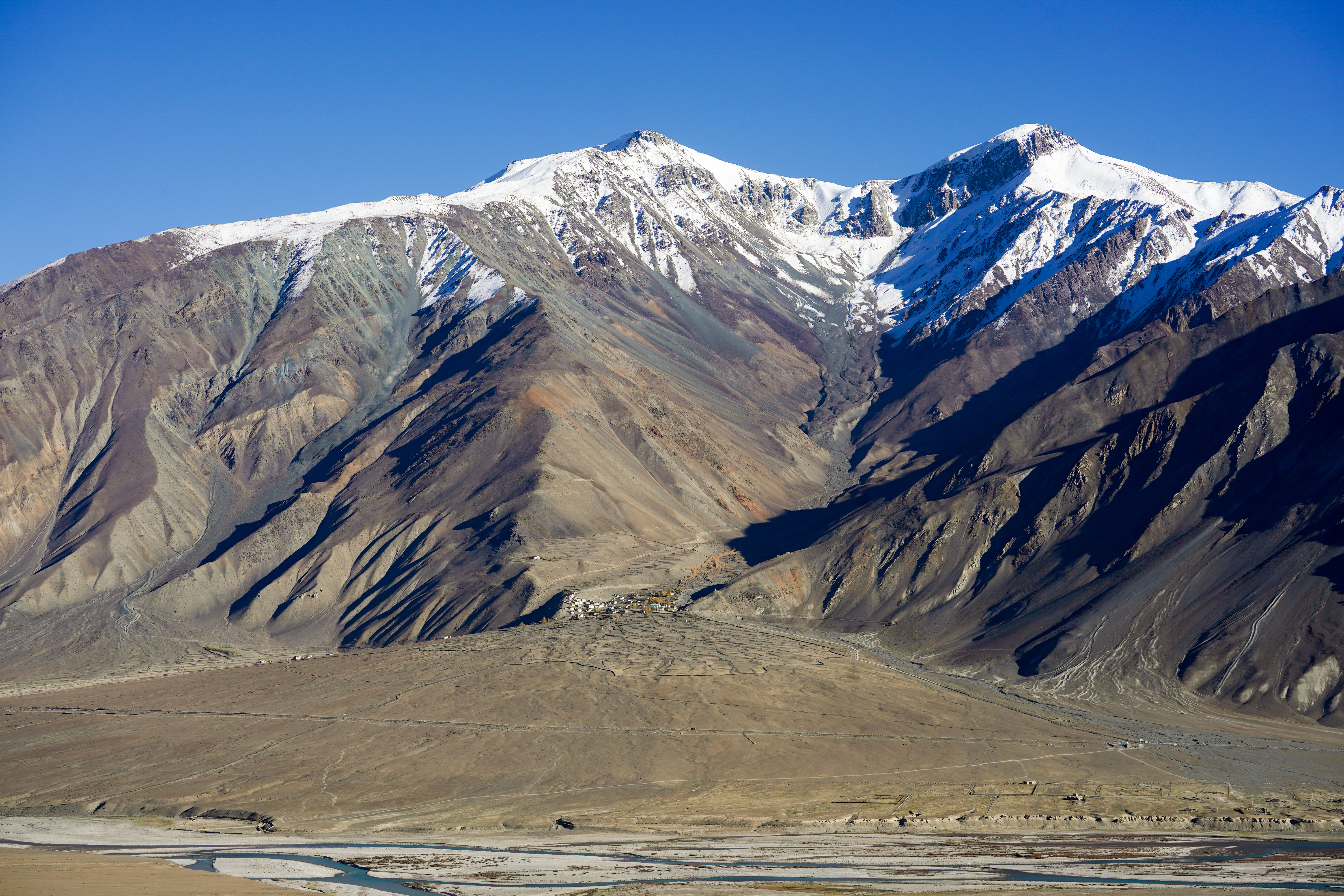
Zanskar, Zahar (locally) or Zangskar, is the southwestern region of Kargil district in the Indian union territory of Ladakh. The administrative centre of Zanskar is Padum. Zanskar, together with the rest of Ladakh, was briefly a part of the kingdom of Geography of Tibet, Western Tibet called Ngari Khorsum. Zanskar lies 250 km south of Kargil, Kargil City on National Highway 301 (India), NH301. In August 2024, the Ministry of Home Affairs (India), Ministry of Home Affairs announced that Zanskar will become a district (India), district in Ladakh by 2028. Etymology Zanskar ( ''zangs dkar'') appears as ''“Zangskar”'' mostly in academic studies in social sciences (anthropology, gender studies), reflecting the Ladakhi pronunciation, although the Zanskari pronunciation is Zãhar. Older geographical accounts and maps may use the alternate spelling "Zaskar". An etymological study (Snellgrove and Skorupsky, 1980) of the name reveals that its origin might refer to the natural occ ... [...More Info...] [...Related Items...] OR: [Wikipedia] [Google] [Baidu] |
Ladakh
Ladakh () is a region administered by India as a union territory and constitutes an eastern portion of the larger Kashmir region that has been the subject of a Kashmir#Kashmir dispute, dispute between India and Pakistan since 1947 and India and China since 1959.The application of the term "administered" to the various regions of Kashmir and a mention of the Kashmir dispute is supported by the WP:TERTIARY, tertiary sources (a) through (e), reflecting WP:DUE, due weight in the coverage. Although "controlled" and "held" are also applied neutrally to the names of the disputants or to the regions administered by them, as evidenced in sources (h) through (i) below, "held" is also considered politicised usage, as is the term "occupied", (see (j) below). (a) (subscription required) Quote: "Kashmir, region of the northwestern Indian subcontinent ... has been the subject of dispute between India and Pakistan since the partition of the Indian subcontinent in 1947. The northern and wester ... [...More Info...] [...Related Items...] OR: [Wikipedia] [Google] [Baidu] |
Social Worker
Social work is an academic discipline and practice-based profession concerned with meeting the basic needs of individuals, families, groups, communities, and society as a whole to enhance their individual and collective well-being. Social work practice draws from liberal arts, social science, and interdisciplinary areas such as psychology, sociology, health, political science, community development, law, and economics to engage with systems and policies, conduct assessments, develop interventions, and enhance social functioning and responsibility. The ultimate goals of social work include the improvement of people's lives, alleviation of biopsychosocial concerns, empowerment of individuals and communities, and the achievement of social justice. Social work practice is often divided into three levels. Micro-work involves working directly with individuals and families, such as providing individual counseling/therapy or assisting a family in accessing services. Mezzo-work ... [...More Info...] [...Related Items...] OR: [Wikipedia] [Google] [Baidu] |
Padma Shri
The Padma Shri (IAST: ''padma śrī'', lit. 'Lotus Honour'), also spelled Padma Shree, is the fourth-highest Indian honours system, civilian award of the Republic of India, after the Bharat Ratna, the Padma Vibhushan and the Padma Bhushan. Instituted on 2 January 1954, the award is conferred in recognition of "distinguished contribution in various spheres of activity including the arts, education, industry, literature, science, acting, medicine, social service and public affairs". It is awarded by the Government of India every year on Republic Day (India), India's Republic Day. History Padma Awards were instituted in 1954 to be awarded to citizens of India in recognition of their distinguished contribution in various spheres of activity including the arts, education, Private industry, industry, literature, science, acting, medicine, social service and Public affairs (broadcasting), public affairs. It has also been awarded to some distinguished individuals who were not citiz ... [...More Info...] [...Related Items...] OR: [Wikipedia] [Google] [Baidu] |
Stongdey
Stongdey (also Stongde, Stongday, Tongde, Tongdey, Tangday) is a small village in the Zanskar valley in Zanskar tehsil, Kargil district, Ladakh, India. The village is situated on the right bank of the Zanskar River about northeast of Padum on the Padum-Nimmu highway. This article also contains information about the neighbouring Kumik (Khumi) village. Description Stongdey (elevation ) is a small village in the Zanskar valley on the right bank of the Zanskar River The Zanskar River is the first major tributary of the Indus River, equal or greater in volume than the main river, which flows entirely within Ladakh, India. It originates northeast of the Great Himalayan range and drains both the Himalayas and t .... It is located at a distance of from Padum on the Padum-Darcha road. Stongdey and the neighbouring Kumik village have a combined area of . The 2 villages are located apart, on either side of the Nimmu-Padum highway. The elevation of Kumik is . Demographics ... [...More Info...] [...Related Items...] OR: [Wikipedia] [Google] [Baidu] |
Government Of India
The Government of India (ISO 15919, ISO: Bhārata Sarakāra, legally the Union Government or Union of India or the Central Government) is the national authority of the Republic of India, located in South Asia, consisting of States and union territories of India, 36 states and union territories. The government is led by the president of India (currently ) who largely exercises the executive powers, and selects the Prime Minister of India, prime minister of India and other ministers for aid and advice. Government has been formed by the The prime minister and their senior ministers belong to the Union Council of Ministers, its executive decision-making committee being the Cabinet (government), cabinet. The government, seated in New Delhi, has three primary branches: the legislature, the executive and the judiciary, whose powers are vested in bicameral Parliament of India, Union Council of Ministers (headed by prime minister), and the Supreme Court of India respectively, with a p ... [...More Info...] [...Related Items...] OR: [Wikipedia] [Google] [Baidu] |
Darcha
Darcha (elevation 3,360 m or 11,020 ft) is a pair of villages (Darcha Sumdo and Darach Dangma) on the Bhaga River in the Lahaul sub-division in the Lahaul and Spiti district in the Indian States and territories of India, state of Himachal Pradesh. It is the northernmost permanent settlement in Himachal Pradesh along the Manali-Leh Highway. With the opening of the Atal Tunnel, Darcha is likely to see a large influx of tourists as it is now connected to Manali throughout the year. The Nimmu–Padam–Darcha road which is being constructed, will improve connectivity of Kargil, Zanskar and Leh District of Ladakh to Darcha. Demographics and amenities Darcha consists of two adjacent villages, Darcha Sumdo and Darcha Dangma with a total area of . Information on Darcha from the Census of India 2011 is given in the table below. Schooling from primary up to senior secondary (Class 1 to 12) is available in the village. There is a Primary Health Centre at Darcha. Drinking water ... [...More Info...] [...Related Items...] OR: [Wikipedia] [Google] [Baidu] |
Lahaul And Spiti District
The Lahaul and Spiti district is a high-altitude district in Himachal Pradesh, north India. This entirely mountainous district consists of two geographically distinct as well as formerly separate political-administrative units, called Lahaul () and Spiti (; or ). Lahaul and Spiti is the largest district by area in Himachal Pradesh, and one of the least populous districts in the whole of India. Kyelang (also spelled as 'Keylong') in Lahaul is the headquarters of the whole district, while Spiti also has a subdivisional headquarters, at Kaza. Geography Physical Geologically located in the Himalayas and the Tibetan Plateau, Lahaul and Spiti district is connected to Manali through the Rohtang Pass. Lahaul has three valleys, the Chandra valley (locally known as Rangloi valley), the Bhaga valley (locally known as Ghar valley), and the Chandra-Bhaga valley (locally known as Pattan valley, and further on as Chenab valley). The confluence of the Chandra and the Bhaga rivers ... [...More Info...] [...Related Items...] OR: [Wikipedia] [Google] [Baidu] |
Himachal Pradesh
Himachal Pradesh (; Sanskrit: ''himācāl prādes;'' "Snow-laden Mountain Province") is a States and union territories of India, state in the northern part of India. Situated in the Western Himalayas, it is one of the thirteen Indian Himalayan Region, mountain states and is characterised by an extreme landscape featuring List of mountain peaks of Himachal Pradesh, several peaks and extensive river systems. Himachal Pradesh is the northernmost state of India and shares borders with the union territories of Jammu and Kashmir (union territory), Jammu and Kashmir and Ladakh to the north, and the states of Punjab (India), Punjab to the west, Haryana to the southwest, Uttarakhand to the southeast and a very narrow border with Uttar Pradesh to the south. The state also shares an international border to the east with the Tibet Autonomous Region in China. Himachal Pradesh is also known as ''Dev Bhoomi'', meaning 'Land of Gods' and ''Veer Bhoomi'' which means 'Land of the Brave'. The pre ... [...More Info...] [...Related Items...] OR: [Wikipedia] [Google] [Baidu] |
Shingo La
Shinku La (or Shingo La) mountain pass on Nimmu-Padum-Darcha road strategic road on the state boundary between Ladakh and Himachal Pradesh, connects the Zanskar region of Ladakh with the Lahaul region of Himachal Pradesh. The under-construction Shingo La Tunnel, with target expected completion date of 2028, will reduce the Manali to Kargil distance by 522 km while providing an additional all-weather route to Ladakh as an alternative to the existing Leh–Manali Highway. Geography The Sinkula Pass, traversed by a 10-day Zanskar-Lahaul footpath used by locals and trekkers, features Sinkula Lake, a shallow pool 20m below its summit on the southern side. Acclaimed as one of the Indian Himalaya's technically easiest 5,000m+ passes (no glaciers or steep climbs), it is typically snowbound October-April and avalanche-prone. While an official sign states 16,615.5 ft, trekking websites list elevations from 4,900-5,100m. On the south side of the pass, the route from Barsi Bridge ... [...More Info...] [...Related Items...] OR: [Wikipedia] [Google] [Baidu] |
Border Roads Organisation
The Border Roads Organisation (BRO) is a statutory body under the ownership of the Ministry of Defence of the Government of India. BRO develops and maintains road networks in India's border areas and friendly neighboring countries. This includes infrastructure operations in 19 states and three union territories (including Andaman and Nicobar Islands) and neighboring countries such as Afghanistan, Bhutan, Myanmar, Tajikistan and Sri Lanka. By 2022, BRO had constructed over of roads, over 450 permanent bridges with a total length of over length and 19 airfields in strategic locations. BRO is also tasked with maintaining these infrastructure including operations such as snow clearance.Annual Report 2014–2015. Border Roads Organisation. (Chapter 7)'. Ministry of Road Transport and Highways. Government of IndiaArchivedon 12 February 2021.Annual Report 2015–2016'. Ministry of Defence. Government of India. Accessed on 13 June 2021. Officers from the Border Roads Engineering Serv ... [...More Info...] [...Related Items...] OR: [Wikipedia] [Google] [Baidu] |


