|
Tsiatosika
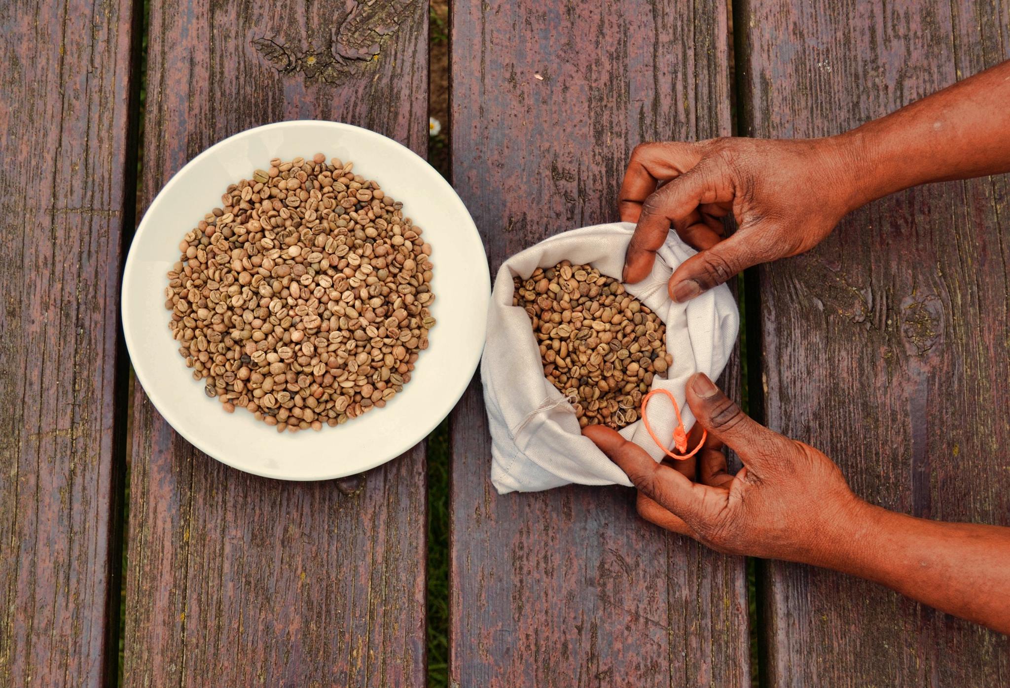
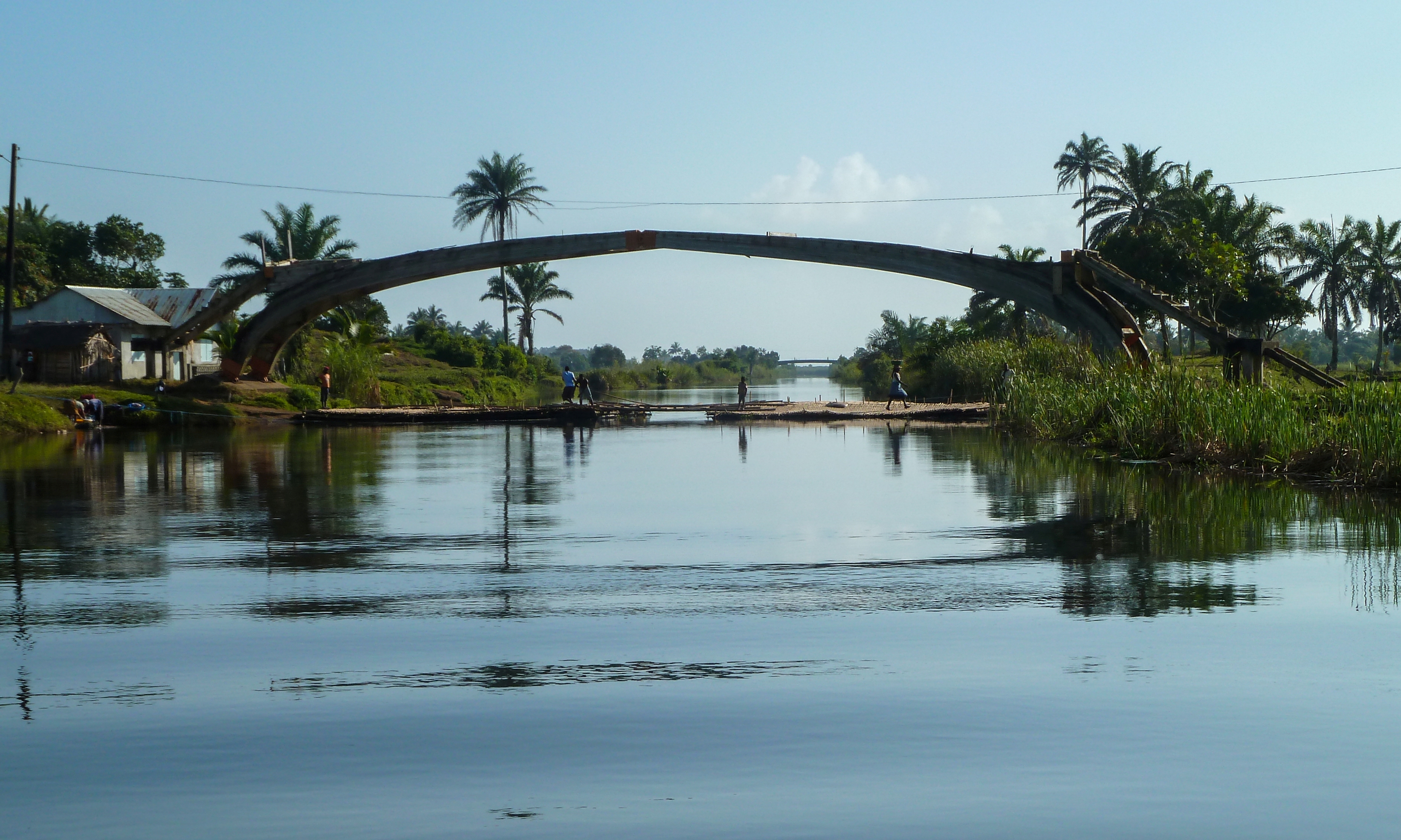
Tsiatosika is a rural municipality in Madagascar. It belongs to the district of Mananjary, which is a part of Vatovavy. The population of the commune was estimated to be approximately 24,000 in 2001 commune census. Geography This municipality is situated at 17 km west of Mananjary at the intersection of the National Road 24 that leads from Vohilava, Mananjary to Mananjary and National Road 11 (Mananjary-Nosy Varika). Only primary schooling is available. The majority 95.8% of the population of the commune are farmers. The most important crops are coffee and bananas; also rice Rice is the seed of the grass species '' Oryza sativa'' (Asian rice) or less commonly '' Oryza glaberrima'' (African rice). The name wild rice is usually used for species of the genera '' Zizania'' and ''Porteresia'', both wild and domestica ... is an important agricultural product. Services provide employment for 4.2% of the population. References Populated places in Vatovavy {{Vato ... [...More Info...] [...Related Items...] OR: [Wikipedia] [Google] [Baidu] |
Mananjary District
Mananjary is a district of Vatovavy in Madagascar. Its capital is the city of Mananjary. Communes The district is further divided into 25 communes: * Ambalahosy Nord * Ambodinonoka * Ambohimiarina II * Ambohinihaonana * Andonabe * Andranambolava * Anosimparihy * Antsenavolo ** Irondro * Kianjavato * Mahaela * Mahatsara Iefaka * Mahatsara Sud * Mahavoky Nord * Manakana Nord * Mananjary * Marofototra * Marokarima * Marosangy * Morafeno * Namorona * Sandrohy * Tsaravary * Tsiatosika * Vatohandrina Vatohandrina is a town and commune in Madagascar. It belongs to the district of Mananjary, which is a part of Vatovavy-Fitovinany Region. The population of the commune was estimated to be approximately 8,000 in 2001 commune census. Only primary s ... * Vohilava References Districts of Vatovavy {{Madagascar-geo-stub ... [...More Info...] [...Related Items...] OR: [Wikipedia] [Google] [Baidu] |
Route Nationale 11 (Madagascar)
''Route nationale 11'' (''RN 11'') is a secondary highway in Madagascar of 204 km, running from Mahanoro to Mananjary. It crosses the regions of Atsinanana and Vatovavy. Selected locations on route (north to south) * RN 11a from Mahanoro * Nosy Varika - 204 km * Tsiatosika - intersection with RN 24 * Betampona *intersection with RN 25 *Mananjary See also * List of roads in Madagascar *Transport in Madagascar Paved and unpaved roadways, as well as railways, provide the main forms of transport in Madagascar. Madagascar has approximately of paved roads and 836 km of rail lines. In 2010, Madagascar had of navigable waterways. Railways In 2018, Madaga ... References {{reflist Roads in Atsinanana Roads in Vatovavy Roads in Madagascar de:Route nationale 11a (Madagaskar) ... [...More Info...] [...Related Items...] OR: [Wikipedia] [Google] [Baidu] |
Regions Of Madagascar
Madagascar Madagascar (; mg, Madagasikara, ), officially the Republic of Madagascar ( mg, Repoblikan'i Madagasikara, links=no, ; french: République de Madagascar), is an island country in the Indian Ocean, approximately off the coast of East Africa ... is divided into 23 regions (''faritra''). These formerly second-tier administrative divisions became first-level administrative divisions when the former six provinces were dissolved on 4 October 2009. Elections Elections for the regional councils were held on 16 March 2008. See also * Subdivisions of Madagascar * Provinces of Madagascar * Districts of Madagascar * List of regions of Madagascar by Human Development Index * List of cities in Madagascar References Sources * Population, area: ''Madagascar: Profil des marchés pour les évaluations d’urgence de la sécurité alimentaire'* (in French:Découpage Territorial - L'Express.mg Regions of Madagascar, Subdivisions of Madagascar Madagascar ... [...More Info...] [...Related Items...] OR: [Wikipedia] [Google] [Baidu] |
Vohilava, Mananjary
Vohilava is a rural municipality in Madagascar. It belongs to the district of Mananjary, which is a part of the region of Vatovavy. The population of the municipality was estimated to be approximately 32,000 in 2001 commune census. Geography Vohilava is situated at the Isaka river. It is the endpoint of the Route nationale 24 from Mananjary that is situated at 61km. Primary and junior level secondary education are available in town. The majority 97% of the population of the commune are farmers. The most important crops are coffee and rice; also banana A banana is an elongated, edible fruit – botanically a berry (botany), berry – produced by several kinds of large herbaceous flowering plants in the genus ''Musa (genus), Musa''. In some countries, Cooking banana, bananas used for ...s are an important agricultural product. Services provide employment for 3% of the population. References Populated places in Vatovavy {{VatovavyFitovinany-geo-stub ... [...More Info...] [...Related Items...] OR: [Wikipedia] [Google] [Baidu] |
Rice
Rice is the seed of the grass species '' Oryza sativa'' (Asian rice) or less commonly '' Oryza glaberrima'' (African rice). The name wild rice is usually used for species of the genera '' Zizania'' and ''Porteresia'', both wild and domesticated, although the term may also be used for primitive or uncultivated varieties of '' Oryza''. As a cereal grain, domesticated rice is the most widely consumed staple food for over half of the world's human population,Abstract, "Rice feeds more than half the world's population." especially in Asia and Africa. It is the agricultural commodity with the third-highest worldwide production, after sugarcane and maize. Since sizable portions of sugarcane and maize crops are used for purposes other than human consumption, rice is the most important food crop with regard to human nutrition and caloric intake, providing more than one-fifth of the calories consumed worldwide by humans. There are many varieties of rice and culinary preferences t ... [...More Info...] [...Related Items...] OR: [Wikipedia] [Google] [Baidu] |
Banana
A banana is an elongated, edible fruit – botanically a berry (botany), berry – produced by several kinds of large herbaceous flowering plants in the genus ''Musa (genus), Musa''. In some countries, Cooking banana, bananas used for cooking may be called "plantains", distinguishing them from dessert bananas. The fruit is variable in size, color, and firmness, but is usually elongated and curved, with soft flesh rich in starch covered with a rind, which may be green, yellow, red, purple, or brown when ripe. The fruits grow upward in clusters near the top of the plant. Almost all modern edible seedless (Parthenocarpy, parthenocarp) bananas come from two wild species – ''Musa acuminata'' and ''Musa balbisiana''. The Binomial nomenclature, scientific names of most cultivated bananas are ''Musa acuminata'', ''Musa balbisiana'', and Musa × paradisiaca, ''Musa'' × ''paradisiaca'' for the hybrid ''Musa acuminata'' × ''M. balbisiana'', depending on their genome, ... [...More Info...] [...Related Items...] OR: [Wikipedia] [Google] [Baidu] |
Coffee
Coffee is a drink prepared from roasted coffee beans. Darkly colored, bitter, and slightly acidic, coffee has a stimulating effect on humans, primarily due to its caffeine content. It is the most popular hot drink in the world. Seeds of the '' Coffea'' plant's fruits are separated to produce unroasted green coffee beans. The beans are roasted and then ground into fine particles that are typically steeped in hot water before being filtered out, producing a cup of coffee. It is usually served hot, although chilled or iced coffee is common. Coffee can be prepared and presented in a variety of ways (e.g., espresso, French press, caffè latte, or already-brewed canned coffee). Sugar, sugar substitutes, milk, and cream are often used to mask the bitter taste or enhance the flavor. Though coffee is now a global commodity, it has a long history tied closely to food traditions around the Red Sea. The earliest credible evidence of coffee drinking in the form of the modern ... [...More Info...] [...Related Items...] OR: [Wikipedia] [Google] [Baidu] |
Nosy Varika
Nosy Varika is a town and commune in Madagascar. It belongs to the district of Nosy Varika, which is a part of the region of Vatovavy. The population of the commune was estimated to be approximately 19787 in 2018. Nosy Varika is served by a local airport and riverine harbour. In addition to primary schooling the town offers secondary education at both junior and senior levels. The town provides access to hospital services to its citizens. The majority 75% of the population works in fishing. 20% are farmers, while an additional 2% receives their livelihood from raising livestock. The most important crop is rice, while other important products are coffee, lychee and pepper. Services provide employment for 3% of the population. Geography Nosy Varika is situated at 130 km north of Mananjary Mananjary is a city located in Vatovavy, Madagascar with a population of 25,222 inhabitants in 2018. It is the chief city of the Mananjary district. It contains a town of the same name, s ... [...More Info...] [...Related Items...] OR: [Wikipedia] [Google] [Baidu] |
Mananjary, Fianarantsoa
Mananjary is a city located in Vatovavy, Madagascar with a population of 25,222 inhabitants in 2018. It is the chief city of the Mananjary district. It contains a town of the same name, situated on the southern part of the east coast, where the Mananjary River flows into the Indian Ocean. There's a small port and an airport. Mananjary is situated at 130 km south of Nosy Varika on the RN 11 The Canal des Pangalanes divides the town into two sections. In 2022 Cyclone Batsirai Intense Tropical Cyclone Batsirai was a deadly tropical cyclone which heavily impacted Madagascar in February 2022, becoming the strongest tropical cyclone to strike Madagascar since Cyclone Enawo in 2017. It made landfall two weeks after Tro ... made landfall at Mananjary, leaving the city destroyed by 90%. Economy Agriculture production is focused on vanilla, coffee, and pepper production. [...More Info...] [...Related Items...] OR: [Wikipedia] [Google] [Baidu] |
Mananjary
Mananjary is a city located in Vatovavy, Madagascar with a population of 25,222 inhabitants in 2018. It is the chief city of the Mananjary district. It contains a town of the same name, situated on the southern part of the east coast, where the Mananjary River flows into the Indian Ocean. There's a small port and an airport. Mananjary is situated at 130 km south of Nosy Varika on the RN 11 The Canal des Pangalanes divides the town into two sections. In 2022 Cyclone Batsirai made landfall at Mananjary, leaving the city destroyed by 90%. Economy Agriculture production is focused on vanilla, coffee, and pepper production.Madagascar & Comoros pp. 230-31 (, 2008) ... [...More Info...] [...Related Items...] OR: [Wikipedia] [Google] [Baidu] |
Route Nationale 24 (Madagascar)
Route nationale 24 (RN 24) is a secondary, unpaved highway in Madagascar of 61 km, running from Manajary to Vohilava. It crosses the region of Vatovavy. Selected locations on route (East to West) *Mananjary Mananjary is a city located in Vatovavy, Madagascar with a population of 25,222 inhabitants in 2018. It is the chief city of the Mananjary district. It contains a town of the same name, situated on the southern part of the east coast, where the M ...- (junction with RN11 * Sahavary * Ambodimangakely * Vohilava Roads in Madagascar Roads in Vatovavy ... [...More Info...] [...Related Items...] OR: [Wikipedia] [Google] [Baidu] |
Vatovavy
Vatovavy is a region of Madagascar. Its capital is Mananjary. It was created by dividing the former region of Vatovavy-Fitovinany on 16 June 2021. Cyclone Batsirai made landfall at Mananjary in 2022, leaving 90 percent of the city destroyed. Administrative divisions Vatovavy Region is divided into three districts, which are sub-divided into 58 communes. * Ifanadiana District - 14 communes * Mananjary District - 25 communes * Nosy Varika District - 19 communes Transportation *Train - 180 km (from Fianarantsoa) *Car Taxi-Brousse * One airport: Mananjary Airport Rivers * the Namorona River Namorona is a river in Vatovavy, eastern Madagascar. It flows down from the central highlands, runs along the Ranomafana National Park, forms the Andriamamovoka Falls, to flow into the Indian Ocean The Indian Ocean is the third-largest of t ... Protected areas *Part of Ranomafana National Park References Vatovavy Regions of Madagascar {{Vatovavy-geo-stub ... [...More Info...] [...Related Items...] OR: [Wikipedia] [Google] [Baidu] |


