|
Tropical Storm Ruth (1980)
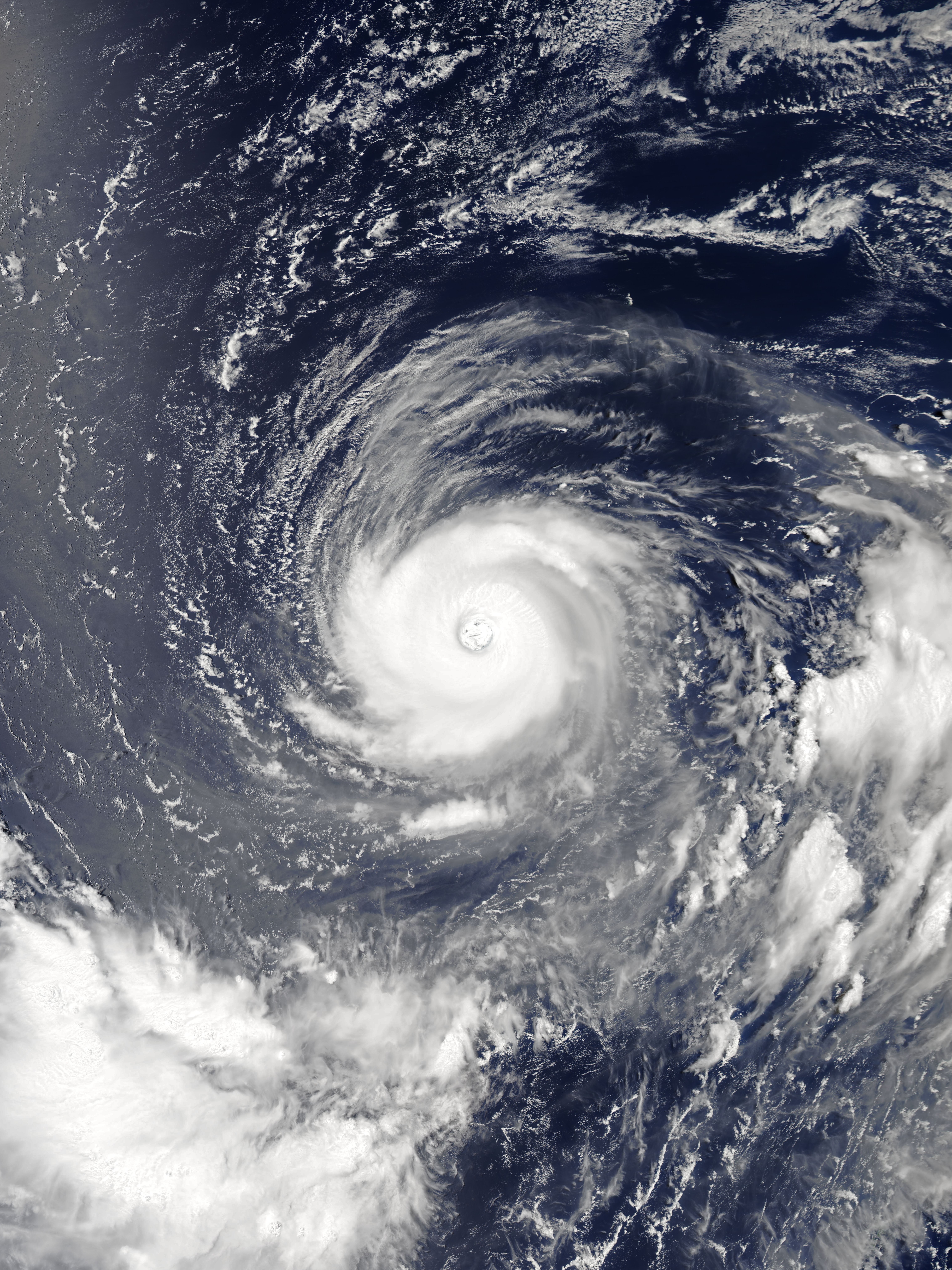
Severe Tropical Storm Ruth was a weak but destructive tropical storm which struck Vietnam during September 1980. Originating from a monsoon depression in the South China Sea, as it tracked westward, it intensified into a tropical depression on 12 September. Initially peaking with 10-minute sustained winds of , after it made landfallin Hainan, China on 15 September, it weakened into a minimal tropical storm. Despite that, the warm waters of the Gulf of Tonkin allowed Ruth to re-intensify, peaking as a high-end tropical storm according to the Japan Meteorological Agency (JMA) and a minimal typhoon according to the Joint Typhoon Warning Center (JTWC). Soon after, it made its second landfall in Thanh Hóa province, Vietnam. Rapidly weakening once inland, it dissipated over Bilauktaung Range on 18 September. The worst cyclone to strike Thanh Hóa province in 30 years, Ruth caused almost 500,000 people to be homeless. It caused significant damage in Vietnam, causing severe crop damage ... [...More Info...] [...Related Items...] OR: [Wikipedia] [Google] [Baidu] |
China
China, officially the People's Republic of China (PRC), is a country in East Asia. With population of China, a population exceeding 1.4 billion, it is the list of countries by population (United Nations), second-most populous country after India, representing 17.4% of the world population. China spans the equivalent of five time zones and Borders of China, borders fourteen countries by land across an area of nearly , making it the list of countries and dependencies by area, third-largest country by land area. The country is divided into 33 Province-level divisions of China, province-level divisions: 22 provinces of China, provinces, 5 autonomous regions of China, autonomous regions, 4 direct-administered municipalities of China, municipalities, and 2 semi-autonomous special administrative regions. Beijing is the country's capital, while Shanghai is List of cities in China by population, its most populous city by urban area and largest financial center. Considered one of six ... [...More Info...] [...Related Items...] OR: [Wikipedia] [Google] [Baidu] |
Bilauktaung
Bilauktaung is a subrange of the Tenasserim Hills. It is located in Myanmar on the Myanmar–Thailand border. It extends from the Dawna Range for about along the frontier area to the Kra Isthmus. Geography The Bilauktaung includes Myinmoletkat Taung, with the highest point of the northern section of the Tenasserim range, and, with a prominence of one of the ultra prominent peaks of Southeast Asia. Other peaks are high Ngayanni Kyauk Taung, high Palan Taung and high Baulu Taung, among other similarly high summits. The whole Bilauktaung is sparsely inhabited and covered with thick tropical rain forest. Usually the western mountainsides are more heavily forested than the eastern for they receive heavier monsoon rains. See also *List of mountains in Myanmar The following is a list of mountains in Myanmar (Burma). The elevations are in metres. For the names of the mountains in the Latin script the most common transcription has been adopted. Note: Many mountains in t ... [...More Info...] [...Related Items...] OR: [Wikipedia] [Google] [Baidu] |
Typhoons In Hong Kong
A typhoon is a tropical cyclone that develops between 180° and 100°E in the Northern Hemisphere and which produces sustained hurricane-force winds of at least . This region is referred to as the Northwestern Pacific Basin, accounting for almost one third of the world's tropical cyclones. For organizational purposes, the northern Pacific Ocean is divided into three regions: the eastern (North America to 140°W), central (140°W to 180°), and western (180° to 100°E). The Regional Specialized Meteorological Center (RSMC) for tropical cyclone forecasts is in Japan, with other tropical cyclone warning centres for the northwest Pacific in Hawaii (the Joint Typhoon Warning Center), the Philippines, and Hong Kong. Although the RSMC names each system, the main name list itself is coordinated among 18 countries that have territories threatened by typhoons each year. Within most of the northwestern Pacific, there are no official typhoon seasons as tropical cyclones form throughout ... [...More Info...] [...Related Items...] OR: [Wikipedia] [Google] [Baidu] |
Typhoons In Vietnam
Vietnam is a southeast Asian country, and is the easternmost country of mainland Southeast Asia. It borders the South China Sea, hence, seeing the increased likeliness of tropical cyclones. Tropical cyclones in this area are considered to be part of the Northwest Pacific basin, and therefore, storms here are considered as ''typhoons''. Climatologically, in the Northwest Pacific basin, most tropical cyclones tend to develop between May and October. Typhoons impacting this region are relatively common, with most of these storms doing so from the middle of the year. The most active tropical cyclone season for Vietnam is in 2017, with their meteorological agency tracking 16 storms, in which 5 have made landfall. This article includes any tropical cyclone of any intensity that affected Vietnam. Background Vietnam recognises its typhoon season from the beginning of June through to the end of November, with an average of four to six typhoons hitting the country annually. Any tropica ... [...More Info...] [...Related Items...] OR: [Wikipedia] [Google] [Baidu] |
Cambodian–Vietnamese War
The Cambodian–Vietnamese War was an armed conflict between Democratic Kampuchea, controlled by Pol Pot's Khmer Rouge, and the Vietnam, Socialist Republic of Vietnam. It began in December 1978, with a Vietnamese invasion of Cambodia which toppled the Khmer Rouge and ended in 1989 with the withdrawal of Vietnamese forces from Cambodia. The war was preceded by years of conflict between Vietnam and the Khmer Rouge, including numerous massacres by the Khmer Rouge, notably the Ba Chúc massacre of over 3,000 Vietnamese civilians in April 1978. On 21 December 1978, the Vietnamese launched a limited offensive towards the town of Kratié (town), Kratie.Morris, p. 111 On 23 December 1978, 10 out of 19 divisions of the Khmer Rouge's Kampuchea Revolutionary Army opened fire along the border with Vietnam with the goal of invading the southwestern border provinces of Đồng Tháp province, Đồng Tháp, An Giang province, An Giang and Kiên Giang province, Kiên Giang. On 25 December 19 ... [...More Info...] [...Related Items...] OR: [Wikipedia] [Google] [Baidu] |
Soviet Union
The Union of Soviet Socialist Republics. (USSR), commonly known as the Soviet Union, was a List of former transcontinental countries#Since 1700, transcontinental country that spanned much of Eurasia from 1922 until Dissolution of the Soviet Union, it dissolved in 1991. During its existence, it was the list of countries and dependencies by area, largest country by area, extending across Time in Russia, eleven time zones and sharing Geography of the Soviet Union#Borders and neighbors, borders with twelve countries, and the List of countries and dependencies by population, third-most populous country. An overall successor to the Russian Empire, it was nominally organized as a federal union of Republics of the Soviet Union, national republics, the largest and most populous of which was the Russian SFSR. In practice, Government of the Soviet Union, its government and Economy of the Soviet Union, economy were Soviet-type economic planning, highly centralized. As a one-party state go ... [...More Info...] [...Related Items...] OR: [Wikipedia] [Google] [Baidu] |
Hong Kong Tropical Cyclone Warning Signals
Hong Kong Tropical cyclone warnings and watches, tropical cyclone warning signals are issued by the Hong Kong Observatory to warn of a potential threat or effects of a tropical cyclone in the greater Hong Kong area. The signals are represented with a set of numbers and symbols. Previously, lights were also used at night. The warning system currently in use in Hong Kong is based on a signal level from the lowest level, Hurricane Signal No.1, to the highest level, Hurricane Signal No.10. The signaled numbers may change in accordance with the conditions. Once any signal that is higher than No.3 is issued, government agencies, schools, financial markets, and most of the private sector close their operations. During major storms like Typhoon Hato in 2017 and Typhoon Mangkhut in 2018, public transit was suspended and schools and businesses were closed. History Beginning In May 1884, the Hong Kong Observatory began warning of surrounding tropical cyclones by notifying newspapers a ... [...More Info...] [...Related Items...] OR: [Wikipedia] [Google] [Baidu] |
Thanh Hóa
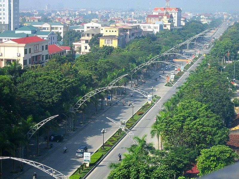
Thanh Hóa () is the capital of Thanh Hóa Province. The city is situated in the east of the province on the Ma River (Sông Mã), about 150 kilometers (93 miles) south of capital Hanoi and 1560 kilometers (969 miles) north of Ho Chi Minh City. Thanh Hoa became one of the most populous cities in North Central Coast after expanding in 2012, with a population of approximately 400,000. Thanh Hoa township was upgraded to Thanh Hoa City in 1994 and has been the historical center of politics, economy, culture, education and entertainment of Thanh Hóa Province. Overview ''Thanh Hoá'' is a new developing city, although its central position was established centuries before. Nowadays, provincial administrators are trying to build and gentrify the city so that its important role for the whole province and even North Central Coast is emphasised. History The Citadel of the Hồ Dynasty was the capital of the Trần dynasty from 1398 to 1400 and the Hồ dynasty from 1400 to 1407. ... [...More Info...] [...Related Items...] OR: [Wikipedia] [Google] [Baidu] |
Rapid Intensification
Rapid intensification (RI) is any process wherein a tropical cyclone strengthens very dramatically in a short period of time. Tropical cyclone forecasting agencies utilize differing thresholds for designating rapid intensification events, though the most widely used definition stipulates an increase in the maximum sustained winds of a tropical cyclone of at least in a 24-hour period. However, periods of rapid intensification often last longer than a day. About 20–30% of all tropical cyclones undergo rapid intensification, including a majority of tropical cyclones with peak wind speeds exceeding . Rapid intensification constitutes a major source of error for tropical cyclone forecasting, and its predictability is commonly cited as a key area for improvement. The specific physical mechanisms that underlie rapid intensification and the environmental conditions necessary to support rapid intensification are unclear due to the complex interactions between the environment surr ... [...More Info...] [...Related Items...] OR: [Wikipedia] [Google] [Baidu] |
Hong Kong Observatory
The Hong Kong Observatory is a weather forecast agency of the government of Hong Kong. The Observatory forecasts the weather and issues warnings on weather-related hazards. It also monitors and makes assessments on radiation levels in Hong Kong and provides other meteorological and geophysical services to meet the needs of the public and the shipping, aviation, industrial and engineering sectors. Overview The Observatory was established on 2 March 1883 as the Hong Kong Observatory by Sir George Bowen, the 9th Governor of Hong Kong, with (1852–1941) as its first director. Early operations included meteorological and magnetic observations, a time service based on astronomical observations and a tropical cyclone warning service. The Observatory was renamed the Royal Observatory Hong Kong () after obtaining a Royal Charter in 1912. The Observatory adopted the current name and emblem in 1997 after the transfer of Hong Kong's sovereignty from the UK to China. The Hong K ... [...More Info...] [...Related Items...] OR: [Wikipedia] [Google] [Baidu] |


