|
Tropical Storm Daisy
The name Daisy has been used for six tropical cyclones world wide: two in the Atlantic Ocean, three in the south-west Indian Ocean, and one in the Australian region of the Indian Ocean. In the Atlantic: * Hurricane Daisy (1958), remained far enough offshore to not cause any damage * Hurricane Daisy (1962), damage over $1.1 million (1962 USD) in New England and the Canadian Maritimes In the Southwest Indian: * Cyclone Daisy (1962), struck Madagascar * Cyclone Daisy (1965), re-designated from Cyclone Carol upon crossing from the Australian region. * Cyclone Daisy (1994), struck Madagascar In the Australian region: * Cyclone Daisy (1972), caused some flooding near Brisbane {{DEFAULTSORT:Daisy Atlantic hurricane set index articles South-West Indian Ocean cyclone set index articles Australian region cyclone set index articles ... [...More Info...] [...Related Items...] OR: [Wikipedia] [Google] [Baidu] |
Tropical Cyclone
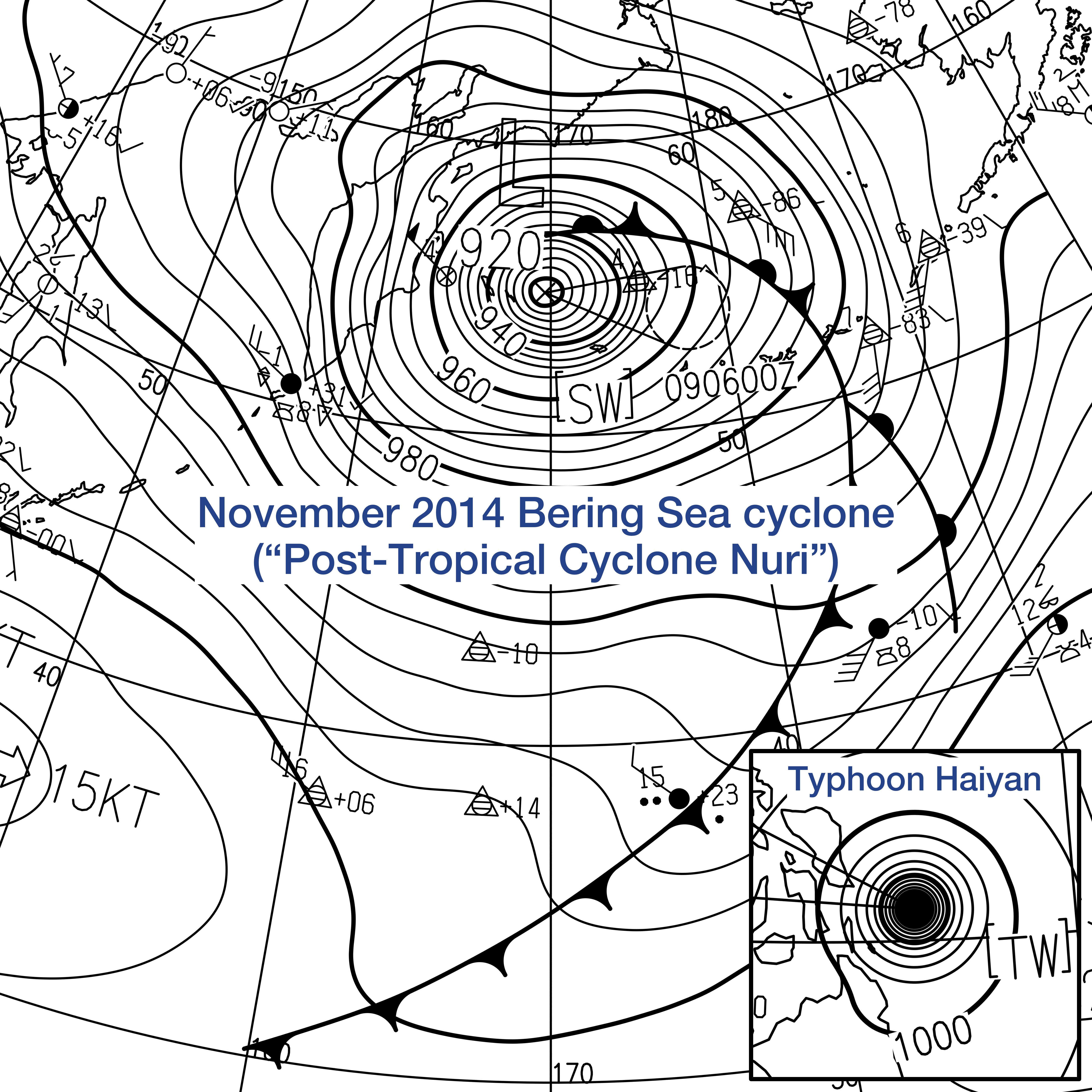
A tropical cyclone is a rapidly rotating storm system characterized by a low-pressure center, a closed low-level atmospheric circulation, strong winds, and a spiral arrangement of thunderstorms that produce heavy rain and squalls. Depending on its location and strength, a tropical cyclone is referred to by different names, including hurricane (), typhoon (), tropical storm, cyclonic storm, tropical depression, or simply cyclone. A hurricane is a strong tropical cyclone that occurs in the Atlantic Ocean or northeastern Pacific Ocean, and a typhoon occurs in the northwestern Pacific Ocean. In the Indian Ocean, South Pacific, or (rarely) South Atlantic, comparable storms are referred to simply as "tropical cyclones", and such storms in the Indian Ocean can also be called "severe cyclonic storms". "Tropical" refers to the geographical origin of these systems, which form almost exclusively over tropical seas. "Cyclone" refers to their winds moving in a circle, whirling ... [...More Info...] [...Related Items...] OR: [Wikipedia] [Google] [Baidu] |
Atlantic Ocean
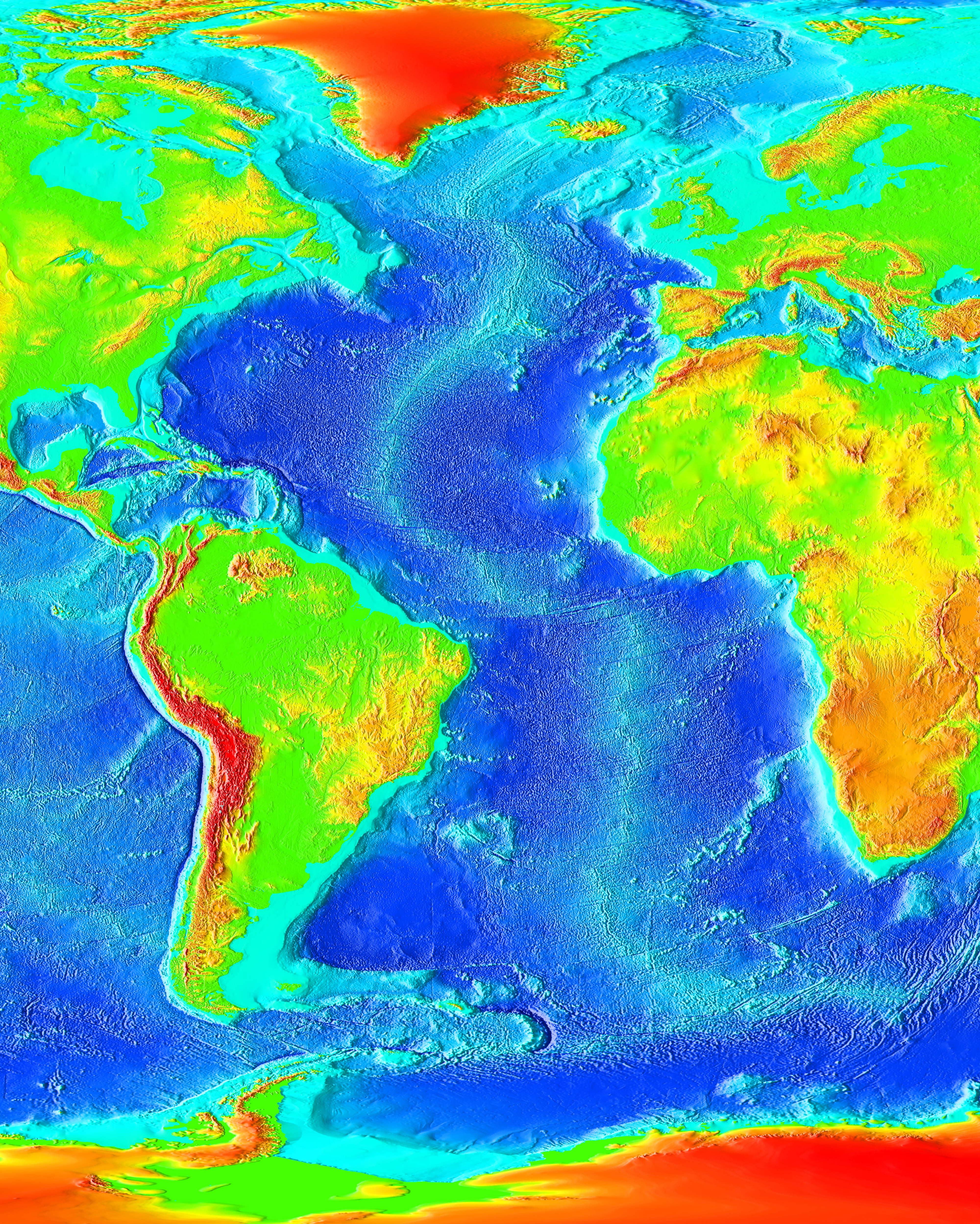
The Atlantic Ocean is the second-largest of the world's five oceans, with an area of about . It covers approximately 20% of Earth#Surface, Earth's surface and about 29% of its water surface area. It is known to separate the "Old World" of Africa, Europe and Asia from the "New World" of the Americas in the European perception of Earth, the World. The Atlantic Ocean occupies an elongated, S-shaped basin extending longitudinally between Europe and Africa to the east, and North America, North and South America to the west. As one component of the interconnected World Ocean, it is connected in the north to the Arctic Ocean, to the Pacific Ocean in the southwest, the Indian Ocean in the southeast, and the Southern Ocean in the south (other definitions describe the Atlantic as extending southward to Antarctica). The Atlantic Ocean is divided in two parts, by the Equatorial Counter Current, with the North(ern) Atlantic Ocean and the South(ern) Atlantic Ocean split at about 8th paralle ... [...More Info...] [...Related Items...] OR: [Wikipedia] [Google] [Baidu] |
Indian Ocean
The Indian Ocean is the third-largest of the world's five oceanic divisions, covering or ~19.8% of the water on Earth's surface. It is bounded by Asia to the north, Africa to the west and Australia to the east. To the south it is bounded by the Southern Ocean or Antarctica, depending on the definition in use. Along its core, the Indian Ocean has some large marginal or regional seas such as the Arabian Sea, Laccadive Sea, Bay of Bengal, and Andaman Sea. Etymology The Indian Ocean has been known by its present name since at least 1515 when the Latin form ''Oceanus Orientalis Indicus'' ("Indian Eastern Ocean") is attested, named after India, which projects into it. It was earlier known as the ''Eastern Ocean'', a term that was still in use during the mid-18th century (see map), as opposed to the ''Western Ocean'' ( Atlantic) before the Pacific was surmised. Conversely, Chinese explorers in the Indian Ocean during the 15th century called it the Western Oceans. In Anci ... [...More Info...] [...Related Items...] OR: [Wikipedia] [Google] [Baidu] |
Hurricane Daisy (1958)
The 1958 Atlantic hurricane season included every tropical cyclone either affecting or threatening land. There were ten named storms as well as one pre-season tropical storm. Seven of the storms became hurricanes, including five that were major hurricanes, or the equivalent of a Category 3 on the Saffir-Simpson scale. The strongest storm was Hurricane Helene, which became a strong Category 4 hurricane with winds and a barometric pressure of while just offshore the southeastern United States. In May, a subtropical depression formed in the Caribbean and dropped heavy rainfall near Miami, Florida. The first named storm of the season was Alma, which killed three people and caused flooding in Texas. Hurricane Daisy in August was a major hurricane that paralleled the eastern coast of the United States, although due to its small size it did not cause much damage. Hurricane Ella affected much of the northern Caribbean and Texas, most significantly the Dominican Republic where ... [...More Info...] [...Related Items...] OR: [Wikipedia] [Google] [Baidu] |
Hurricane Daisy (1962)
Hurricane Daisy brought the worst flooding to New England since Hurricane Diane in 1955. The fourth named storm and second hurricane of the 1962 Atlantic hurricane season, Daisy developed from a tropical disturbance located well east of the Leeward Islands on September 29. Initially a tropical depression, it headed west-northwestward and failed to strengthen significantly. While located a short distance from the Leeward Islands, the depression curved northwestward and began intensifying. On October 2, the depression was upgraded to Tropical Storm Daisy. Around that time, the storm turned back to the west-northwest and continued to deepen. Daisy reached hurricane status late on October 3. Two days later, it became a Category 2 hurricane on the Saffir–Simpson hurricane wind scale, but briefly weakened back to a Category 1 on October 6. Daisy re-strengthened into a Category 2 later on October 6, and peaked with winds of 110 mph (175&n ... [...More Info...] [...Related Items...] OR: [Wikipedia] [Google] [Baidu] |
1961–62 South-West Indian Ocean Cyclone Season
The 1961–62 South-West Indian Ocean cyclone season was a busy cyclone season, lasting from December to April. Systems Tropical Storm Ada Ada lasted for 5 days and made landfall in Madagascar. Its peak intensity was 40 mph, or 65 km/h, in 1-minute maximum sustained winds. Cyclone Beryl Cyclone Chantal Cyclone Daisy Tropical Storm Flora Tropical Storm Gina The storm struck Madagascar and moved across the island, later crossing the Mozambique Channel and striking eastern Mozambique. The storm recurved to the east, passing south of Madagascar. Tropical Depression Helene Tropical Storm Isabel Existed southeast of Madagascar. Cyclone Jenny On February 26, Cyclone Jenny was first observed to the northeast of Rodrigues. The storm moved west-southwestward between Rodrigues and St. Brandon. On February 28, Jenny passed about 30 km (20 mi) north of Mauritius, where the storm produced wind gusts of . On the island, the storm killed 17 people and le ... [...More Info...] [...Related Items...] OR: [Wikipedia] [Google] [Baidu] |
Cyclone Carol–Daisy
In meteorology, a cyclone () is a large air mass that rotates around a strong center of low atmospheric pressure, counterclockwise in the Northern Hemisphere and clockwise in the Southern Hemisphere as viewed from above (opposite to an anticyclone). Cyclones are characterized by inward-spiraling winds that rotate about a zone of low pressure. The largest low-pressure systems are polar vortices and extratropical cyclones of the largest scale (the synoptic scale). Warm-core cyclones such as tropical cyclones and subtropical cyclones also lie within the synoptic scale. Mesocyclones, tornadoes, and dust devils lie within smaller mesoscale. Upper level cyclones can exist without the presence of a surface low, and can pinch off from the base of the tropical upper tropospheric trough during the summer months in the Northern Hemisphere. Cyclones have also been seen on extraterrestrial planets, such as Mars, Jupiter, and Neptune. Cyclogenesis is the process of cyclone fo ... [...More Info...] [...Related Items...] OR: [Wikipedia] [Google] [Baidu] |
Cyclone Daisy (1994)
In meteorology, a cyclone () is a large air mass that rotates around a strong center of low atmospheric pressure, counterclockwise in the Northern Hemisphere and clockwise in the Southern Hemisphere as viewed from above (opposite to an anticyclone). Cyclones are characterized by inward-spiraling winds that rotate about a zone of low pressure. The largest low-pressure systems are polar vortices and extratropical cyclones of the largest scale (the synoptic scale). Warm-core cyclones such as tropical cyclones and subtropical cyclones also lie within the synoptic scale. Mesocyclones, tornadoes, and dust devils lie within smaller mesoscale. Upper level cyclones can exist without the presence of a surface low, and can pinch off from the base of the tropical upper tropospheric trough during the summer months in the Northern Hemisphere. Cyclones have also been seen on extraterrestrial planets, such as Mars, Jupiter, and Neptune. Cyclogenesis is the process of cyclone formation a ... [...More Info...] [...Related Items...] OR: [Wikipedia] [Google] [Baidu] |
Atlantic Hurricane Set Index Articles
The Atlantic Ocean is the second-largest of the world's five oceans, with an area of about . It covers approximately 20% of Earth's surface and about 29% of its water surface area. It is known to separate the "Old World" of Africa, Europe and Asia from the " New World" of the Americas in the European perception of the World. The Atlantic Ocean occupies an elongated, S-shaped basin extending longitudinally between Europe and Africa to the east, and North and South America to the west. As one component of the interconnected World Ocean, it is connected in the north to the Arctic Ocean, to the Pacific Ocean in the southwest, the Indian Ocean in the southeast, and the Southern Ocean in the south (other definitions describe the Atlantic as extending southward to Antarctica). The Atlantic Ocean is divided in two parts, by the Equatorial Counter Current, with the North(ern) Atlantic Ocean and the South(ern) Atlantic Ocean split at about 8°N. Scientific explorations of th ... [...More Info...] [...Related Items...] OR: [Wikipedia] [Google] [Baidu] |
South-West Indian Ocean Cyclone Set Index Articles
The points of the compass are a set of horizontal, radially arrayed compass directions (or azimuths) used in navigation and cartography. A compass rose is primarily composed of four cardinal directions—north, east, south, and west—each separated by 90 degrees, and secondarily divided by four ordinal (intercardinal) directions—northeast, southeast, southwest, and northwest—each located halfway between two cardinal directions. Some disciplines such as meteorology and navigation further divide the compass with additional azimuths. Within European tradition, a fully defined compass has 32 'points' (and any finer subdivisions are described in fractions of points). Compass points are valuable in that they allow a user to refer to a specific azimuth in a colloquial fashion, without having to compute or remember degrees. Designations The names of the compass point directions follow these rules: 8-wind compass rose * The four cardinal directions are north (N), east (E), s ... [...More Info...] [...Related Items...] OR: [Wikipedia] [Google] [Baidu] |


