|
Trollheimen Mnt Trollhetta
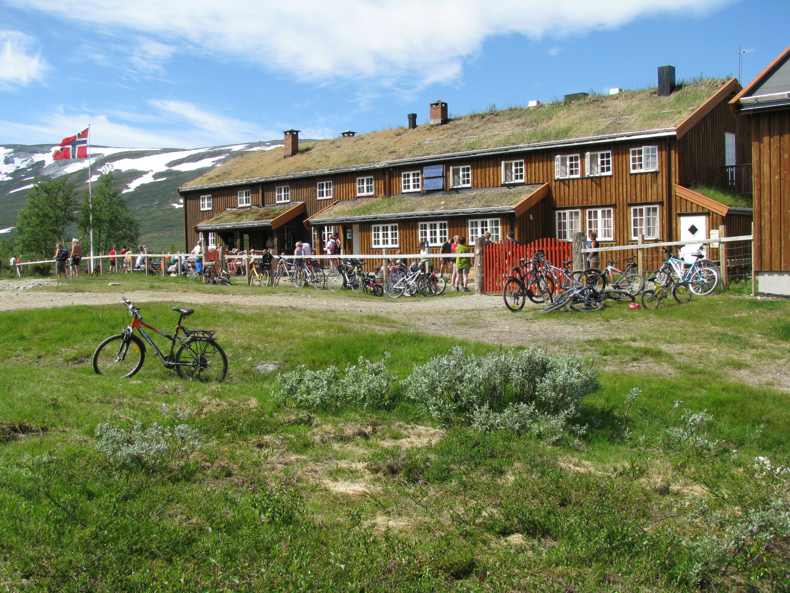
Trollheimen is a mountain range in Møre og Romsdal and Trøndelag counties in central Norway. The mountain range is part of the Scandinavian Mountains. Etymology The name ('the home of the trolls') was proposed by Håkon Løken and used by Trondhjems Turistforening in the 1880s, and is considered a "tourist name" (there was no single name for the entire area before). Trollheimen is now the common name in Norway for this mountain range. Topography and climate Trollheimen is often considered the most varied of all mountain ranges in Norway for several reasons. The mountains in the western part are alpine in form, with pointed peaks and typical river valleys. The mountains in the east are less steep with more rounded shapes predominating, and the valleys are wider and bear the mark of being created by glaciers. The climate differs from the more oceanic climate in the west to a considerably drier, continental climate in the eastern valleys, due to their being sheltered by mounta ... [...More Info...] [...Related Items...] OR: [Wikipedia] [Google] [Baidu] |
Innerdalstårnet
Innerdalstårnet or Dalatårnet is a tall mountain on the south side of the Innerdalen valley in Sunndal Municipality in Møre og Romsdal county, Norway. It is located about southeast of the village of Ålvundeid. The mountain is also known as the ''Matterhorn of Norway'' for its characteristic pyramidal shape. The summit can be reached with some scrambling, and the mountain is a very popular destination for rock climbing, several routes are established up the mountain.Klatrefører for Innerdalen, Norsk Tindeklubb The northern sub-peak, Litle Innerdalstårnet (seen in the picture) is slightly more inaccessible. Directly south of Innerdalstårnet are the mountains Tårnfjellet and Såtbakkollen, which is the second highest in Trollheimen Trollheimen is a mountain range in Møre og Romsdal and Trøndelag counties in central Norway. The mountain range is part of the Scandinavian Mountains. Etymology The name ('the home of the trolls') was proposed by Håkon Løken and u ... [...More Info...] [...Related Items...] OR: [Wikipedia] [Google] [Baidu] |
Foldsjøen
Foldsjøen is a reservoir located on the border of Møre og Romsdal and Trøndelag counties in Norway. It is located in the municipalities of Surnadal and Rindal. The lake is dammed from the Folda River and the water is used in the Trollheim power station. Slightly more elevated and directly to the south is the Gråsjøen reservoir, which is also behind a hydro-power dam. See also *List of lakes in Norway This is a list of lakes and reservoirs in Norway, sorted by county. For the geography and history of lakes in that country, see Lakes in Norway, including: * List of largest lakes in Norway * List of deepest lakes in Norway Akershus *Bjørk ... References Surnadal Rindal Lakes of Møre og Romsdal Lakes of Trøndelag Reservoirs in Norway {{Trøndelag-geo-stub ... [...More Info...] [...Related Items...] OR: [Wikipedia] [Google] [Baidu] |
Artemisia (genus)
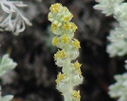
''Artemisia'' () is a large, diverse genus of plants with between 200 and 400 species belonging to the daisy family Asteraceae. Common names for various species in the genus include mugwort, wormwood, and sagebrush. ''Artemisia'' comprises hardy herbaceous plants and shrubs, which are known for the powerful chemical constituents in their essential oils. ''Artemisia'' species grow in temperate climates of both hemispheres, usually in dry or semiarid habitats. Notable species include '' A. vulgaris'' (common mugwort), '' A. tridentata'' (big sagebrush), '' A. annua'' (sagewort), '' A. absinthium'' (wormwood), ''A. dracunculus'' (tarragon), and '' A. abrotanum'' (southernwood). The leaves of many species are covered with white hairs. Most species have strong aromas and bitter tastes from terpenoids and sesquiterpene lactones, which discourage herbivory, and may have had a selective advantage. The small flowers are wind-pollinated. ''Artemisia'' species are us ... [...More Info...] [...Related Items...] OR: [Wikipedia] [Google] [Baidu] |
Alpine Plant
Alpine plants are plants that grow in an alpine climate, which occurs at high elevation and above the tree line. There are many different plant species and taxa that grow as a plant community in these alpine tundra. These include perennial grasses, sedges, forbs, cushion plants, mosses, and lichens.. Alpine plants are adapted to the harsh conditions of the alpine environment, which include low temperatures, dryness, ultraviolet radiation, wind, drought, poor nutritional soil, and a short growing season. Some alpine plants serve as medicinal plants. Ecology Alpine plants occur in a tundra: a type of natural region or biome that does not contain trees. Alpine tundra occurs in mountains worldwide. It transitions to subalpine forests below the tree line; stunted forests occurring at the forest-tundra ecotone are known as ''Krummholz''. With increasing elevation, it ends at the snow line where snow and ice persist through summer, also known as the Nival Zone. Alpine plants are ... [...More Info...] [...Related Items...] OR: [Wikipedia] [Google] [Baidu] |
Flora
Flora (: floras or florae) is all the plant life present in a particular region or time, generally the naturally occurring (indigenous (ecology), indigenous) native plant, native plants. The corresponding term for animals is ''fauna'', and for fungi, it is ''funga''. Sometimes bacteria and fungi are also referred to as flora as in the terms ''gut flora'' or ''skin flora''. Etymology The word "flora" comes from the Latin name of Flora (mythology), Flora, the goddess of plants, flowers, and fertility in Roman mythology. The technical term "flora" is then derived from a metonymy of this goddess at the end of the sixteenth century. It was first used in poetry to denote the natural vegetation of an area, but soon also assumed the meaning of a work cataloguing such vegetation. Moreover, "Flora" was used to refer to the flowers of an artificial garden in the seventeenth century. The distinction between vegetation (the general appearance of a community) and flora (the taxonomic compos ... [...More Info...] [...Related Items...] OR: [Wikipedia] [Google] [Baidu] |
Botany
Botany, also called plant science (or plant sciences), plant biology or phytology, is the science of plant life and a branch of biology. A botanist, plant scientist or phytologist is a scientist who specialises in this field. The term "botany" comes from the Ancient Greek word (') meaning " pasture", "herbs" " grass", or "fodder"; is in turn derived from (), "to feed" or "to graze". Traditionally, botany has also included the study of fungi and algae by mycologists and phycologists respectively, with the study of these three groups of organisms remaining within the sphere of interest of the International Botanical Congress. Nowadays, botanists (in the strict sense) study approximately 410,000 species of land plants of which some 391,000 species are vascular plants (including approximately 369,000 species of flowering plants), and approximately 20,000 are bryophytes. Botany originated in prehistory as herbalism with the efforts of early humans to identify – a ... [...More Info...] [...Related Items...] OR: [Wikipedia] [Google] [Baidu] |
Blåhøa
: ''For the mountain peak Blåhøi in Innlandet, Norway, see Blåhøi.'' : Blåhøa (or ''Blåhø'') is a mountain in the municipality of Oppdal in Trøndelag county, Norway. It is the highest mountain at the northeastern side of the Trollheimen mountain range. The mountain is located in the northwestern part of the municipality of Oppdal, about north of the lake Gjevillvatnet, about west of Nerskogen, Trøndelag, Nerskogen (in Rennebu), and about northwest of Vognillan. The tall mountain has a topographic prominence of . The Speilsalen glacial tunnel was located about northeast of the peak. Name The first element is ''blå'' which means "blue", and the last element is ''hø(a)'' which means a "large and round mountain". References Oppdal Mountains of Trøndelag {{Trøndelag-geo-stub ... [...More Info...] [...Related Items...] OR: [Wikipedia] [Google] [Baidu] |
Trollhetta
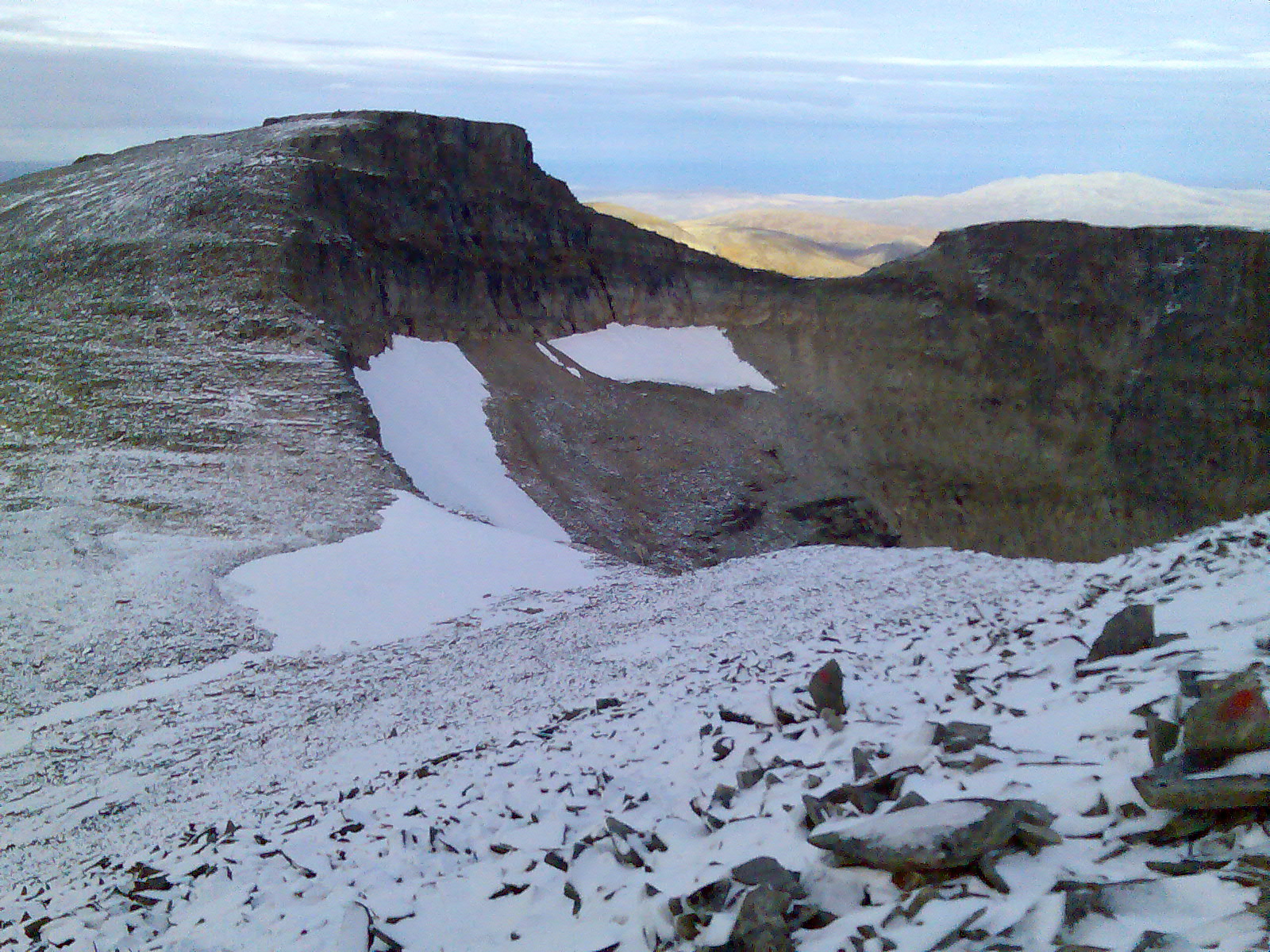
Trollhøtta or Trollhetta is a mountain on the border of Trøndelag and Møre og Romsdal counties in Norway. The tall mountain is located on the border of the municipalities of Surnadal (in Møre og Romsdal) and Rindal (in Trøndelag). It is part of the Trollheimen mountain range, just east of the lake Gråsjøen and the mountains Snota and Neådalssnota. To the south, across the valley ''Svartådalen'', you see the mountains ''Geithetta'' and ''Svarthetta''. The mountain has three peaks: the eastern peak is tall, the north one is and the south one is . You can access all three peaks during the summer, but a sharp and steep ridge between the eastern and northern peak is problematic in the winter for access from the east. The Norwegian Mountain Touring Association The Norwegian Trekking Association ( no, Den norske turistforening, DNT) is a Norwegian association which maintains mountain trails and cabins in Norway. The association was founded on 21 January 1868 with the ... [...More Info...] [...Related Items...] OR: [Wikipedia] [Google] [Baidu] |
Snota
Snota is a prominent mountain in the Trollheimen mountain range in the municipality of Surnadal in Møre og Romsdal county, Norway. It is also the highest mountain in the municipality of Surnadal. It lies west of the mountain Trollhetta and north of the mountain Neådalssnota. The peak is accessible from a parking lot by the lake Gråsjøen, from the cabin ''Trollheimshytta'' (owned by the Norwegian Mountain Touring Association The Norwegian Trekking Association ( no, Den norske turistforening, DNT) is a Norwegian association which maintains mountain trails and cabins in Norway. The association was founded on 21 January 1868 with the scope "to help and develop tourism i ...), and also from Vindøldalen/Vassdalen valley to the west (though less common). The main peak is tall and approximately to the north, there is the neighboring tall summit of ''Litjsnota''. The south wall of Snota is high and it was first climbed in 1994. The first winter ascent was in 1997. Below ... [...More Info...] [...Related Items...] OR: [Wikipedia] [Google] [Baidu] |


