|
Transguinean Railways
The Transguinean Railways is a proposed set of heavy duty standard gauge railways in Guinea to support heavy duty haulage of primarily iron ore and bauxite. Maps UNHCR Atlas Map (2004)shows topography. UN mapshows provinces; towns; railways Overview Existing railways in Guinea are badly maintained and feeble, and would need to be rebuilt from the ground up to support a tenfold or hundredfold increase in tonneages. The new lines would also avoid undesirable rises and falls though hilly terrain. Gauge The new lines would be standard gauge (1435mm) so as to benefit most from off the shelf equipment, and to achieve the highest secondhand value of surplus equipment. The existence of successful heavy duty narrow gauge lines in South Africa, Queensland and Brazil would not affect this choice. North Trans-Guinean Railway This 135 km long Standard Gauge railway is under construction to connect Santou II and Houda bauxite mines around Boffa with the new Dapilon river port ... [...More Info...] [...Related Items...] OR: [Wikipedia] [Google] [Baidu] |
Standard Gauge
A standard-gauge railway is a railway with a track gauge of . The standard gauge is also called Stephenson gauge (after George Stephenson), International gauge, UIC gauge, uniform gauge, normal gauge and European gauge in Europe, and SGR in East Africa. It is the most widely used track gauge around the world, with approximately 55% of the lines in the world using it. All high-speed rail lines use standard gauge except those in Russia, Finland, and Uzbekistan. The distance between the inside edges of the rails is defined to be 1435 mm except in the United States and on some heritage British lines, where it is defined in U.S. customary/Imperial units as exactly "four feet eight and one half inches" which is equivalent to 1435.1mm. History As railways developed and expanded, one of the key issues was the track gauge (the distance, or width, between the inner sides of the rails) to be used. Different railways used different gauges, and where rails of different gauge m ... [...More Info...] [...Related Items...] OR: [Wikipedia] [Google] [Baidu] |
Conakry
Conakry (; ; sus, Kɔnakiri; N’ko: ߞߐߣߊߞߙߌ߫, Fula: ''Konaakiri'' 𞤑𞤮𞤲𞤢𞥄𞤳𞤭𞤪𞤭) is the capital and largest city of Guinea. A port city, it serves as the economic, financial and cultural centre of Guinea. Its population as of the 2014 Guinea census was 1,660,973. The current population of Conakry is difficult to ascertain, although the U.S. Department of State's Bureau of African Affairs has estimated it at two million, accounting for one-sixth of the entire population of the country. History Conakry was originally settled on the small Tombo Island and later spread to the neighboring Kaloum Peninsula, a stretch of land wide. The city was essentially founded after Britain ceded the island to France in 1887. In 1885 the two island villages of Conakry and Boubinet had fewer than 500 inhabitants. Conakry became the capital of French Guinea in 1904 and prospered as an export port, particularly after a railway (now closed) to Kankan opened ... [...More Info...] [...Related Items...] OR: [Wikipedia] [Google] [Baidu] |
Railway Stations In Guinea
Railway stations in Guinea include: Maps UNHCR Atlas Map (2004)shows topography. UN mapshows provinces; towns; railways ReliefWeb Map - Topography and RailReliefWeb Map - Population density and Roads - also shows line parameters * Interactive map of Guinean railway system SharemapFile:Railways in Guinea.svg Cities served by rail North Trans-Guinean Railways (Under construction) This 135 km long Standard Gauge railway connects bauxite mines at Boffa with a new port at Boké. Dapilon-Santou Northern line This line is gauge and carries about 12 million tonnes per annum. * Port Kamsar - port * Boké * Sangarédi - bauxite mine Central line This line is gauge and heads off in a northwestern direction. * Conakry - capital and port. * Dubréka * Fria - bauxite mine Central Trans-Guinean Railway This line is gauge. Conversion to gauge has been proposed. Rejuvenation of this line will be paid for by allow Simandou North iron ore to be exported t ... [...More Info...] [...Related Items...] OR: [Wikipedia] [Google] [Baidu] |
Transport In Guinea
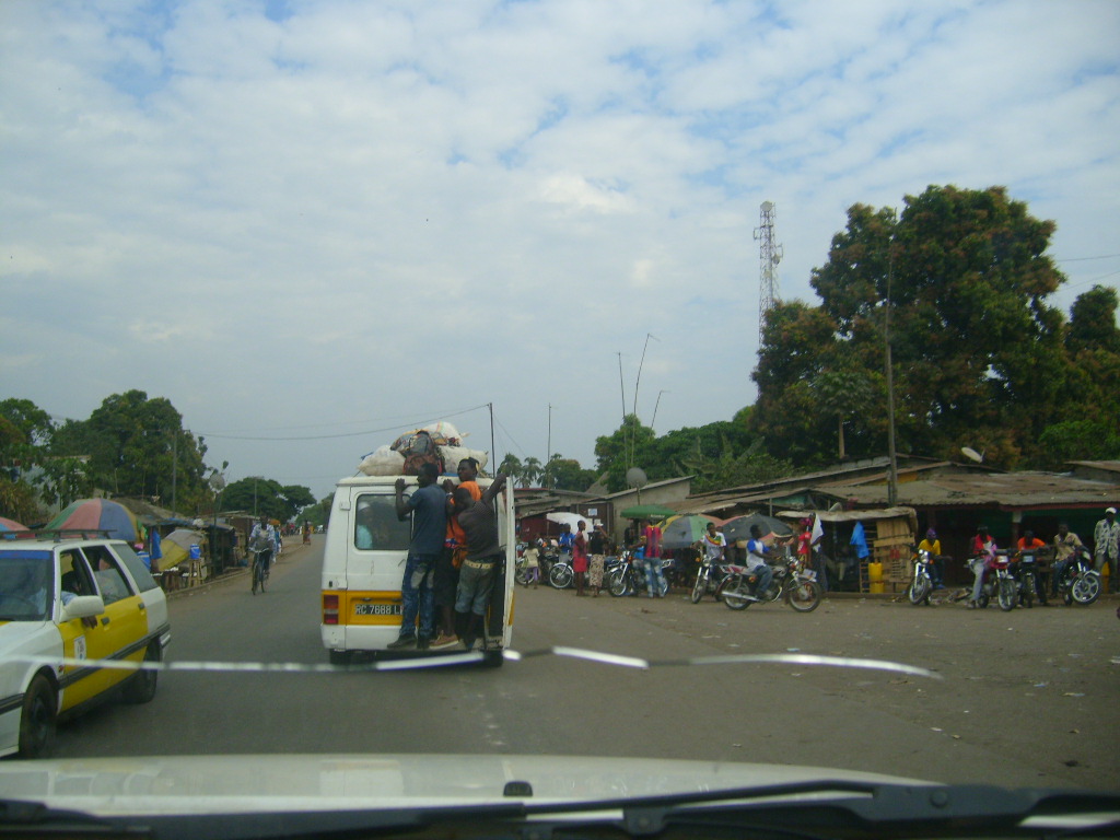
Transport in Guinea is composed by a variety of systems that people in the country use to get around as well as to and from domestic and international destinations. The railway from Conakry to Kankan ceased operating in the mid-1980s. Most vehicles in Guinea are 20+ years old, and cabs are any four-door vehicle which the owner has designated as being for hire. Domestic air services are intermittent. Conakry International Airport is the largest airport in the country, with flights to other cities in Africa as well as to Europe. Locals, nearly entirely without vehicles of their own, rely upon these taxis (which charge per seat) and small buses to take them around town and across the country. There is some river traffic on the Niger and Milo rivers. Horses and donkeys pull carts, primarily to transport construction materials. Iron mining at Simandou (South) in the southeast beginning in 2007 and at Kalia in the east is likely to result in the construction of a new heavy-duty sta ... [...More Info...] [...Related Items...] OR: [Wikipedia] [Google] [Baidu] |
Nzérékoré
Nzérékoré ( N’ko: , Adlam: ; also spelled N'Zérékoré) is the second-largest city in Guinea by population after the capital, Conakry, and the largest city in the Guinée forestière region of southeastern Guinea. The city is the capital of Nzérékoré Prefecture. Nzérékoré is a commercial and economic center and lies approximately southeast of Conakry. It was the center of an uprising against French rule in 1911. It is now known as a market town and for its silverworking. The population was 107,329 according to the 1996 census. Growing dramatically since the civil wars in neighboring Liberia, Sierra Leone, and Ivory Coast, the 2014 census population was 195,027. History There were 3 days of ethno-religious fighting in Nzerekore in July 2013. Fighting between ethnic Kpelle, who are Christian or animist, and ethnic Konianke, who are Muslims and close to the larger Malinke ethnic group, left at least 54 dead. The dead included people who were killed with mac ... [...More Info...] [...Related Items...] OR: [Wikipedia] [Google] [Baidu] |
Faranah
Faranah ( N’ko: ߝߙߊߣߊ߫߫) is a town and sub-prefecture in central Guinea, lying by the River Niger. As of 2014 it had a population of 78,108 people. The town is mainly inhabited by the Malinke people. History Sékou Touré was born in what was then a village, and after becoming president developed it with a mosque, palace and conference centre. It lies immediately south west of the Haut Niger National Park. The town is served by Faranah Airport. Climate Faranah has a tropical savanna climate (Köppen climate classification The Köppen climate classification is one of the most widely used climate classification systems. It was first published by German-Russian climatologist Wladimir Köppen (1846–1940) in 1884, with several later modifications by Köppen, nota ... ''Aw''). Mining Faranah is near major iron ore deposits. Notable residents * Mamadou Barry - Olympic Guinean long-distance runner Singer Sayon Camara, artist of Dinuiraye References ... [...More Info...] [...Related Items...] OR: [Wikipedia] [Google] [Baidu] |
Mamou
Mamou (Pular: 𞤃𞤢𞥄𞤥𞤵𞤲) is a city and sub-prefecture in a valley of the Fouta Djallon area of Guinea. Population 376,269 (2018 est),and the city is almost 98% Fulani tribe. , Retrieved on June 16, 2008 History It grew around the from to and soon became the local |
Kindia
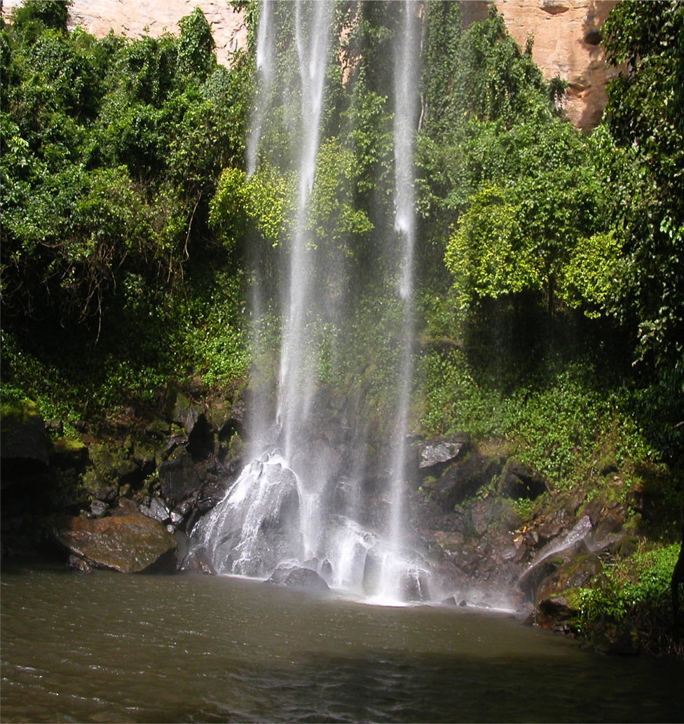
Kindia (N’ko: ߞߌ߲ߘߌߦߊ߫) is the fourth largest city in Guinea, lying about 85 miles northeast of the nation's capital, Conakry. Its estimated population in 2008 was 181,126. Kindia serves as the capital and largest city of Kindia Prefecture and Kindia Region. It also forms a sub-prefecture of Guinea. Geography The city is near Mount Gangan and the Mariée Falls. History The city was founded in 1904 on the route of Conakry Railway in Kankan.BritannicaKindia britannica.com, USA, accessed on June 23, 2019 Economy Kindia grew around banana plantations after the construction of a now-closed railway to the capital. Demography The city of Kindia has an ethnically diverse population, although the Susu make up the majority of the population, followed by the Mandinka. The city is home to virtually all of the country's ethnic groups. After the capital Conakry, Kindia is home to the second largest Sierra Leonean community in Guinea. An estimated 9,000 Sierra Leoneans ... [...More Info...] [...Related Items...] OR: [Wikipedia] [Google] [Baidu] |
Liberia
Liberia (), officially the Republic of Liberia, is a country on the West African coast. It is bordered by Sierra Leone to its northwest, Guinea to its north, Ivory Coast to its east, and the Atlantic Ocean to its south and southwest. It has a population of around 5 million and covers an area of . English is the official language, but over 20 indigenous languages are spoken, reflecting the country's ethnic and cultural diversity. The country's capital and largest city is Monrovia. Liberia began in the early 19th century as a project of the American Colonization Society (ACS), which believed black people would face better chances for freedom and prosperity in Africa than in the United States. Between 1822 and the outbreak of the American Civil War in 1861, more than 15,000 freed and free-born black people who faced social and legal oppression in the U.S., along with 3,198 Afro-Caribbeans, relocated to Liberia. Gradually developing an Americo-Liberian identity, the se ... [...More Info...] [...Related Items...] OR: [Wikipedia] [Google] [Baidu] |
Panamax
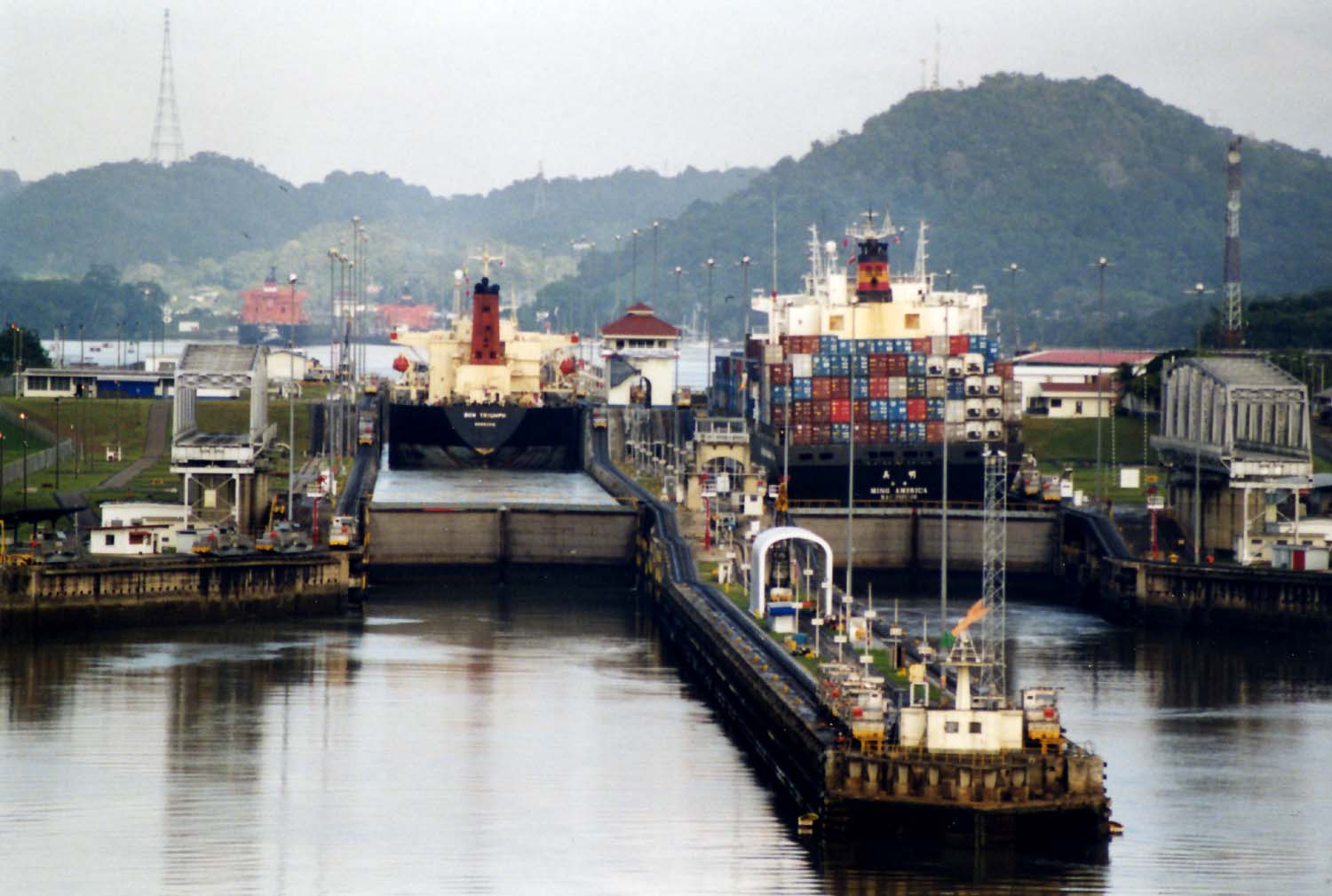
Panamax and New Panamax (or Neopanamax) are terms for the size limits for ships travelling through the Panama Canal. The limits and requirements are published by the Panama Canal Authority (ACP) in a publication titled "Vessel Requirements". These requirements also describe topics like exceptional dry seasonal limits, propulsion, communications, and detailed ship design. The allowable size is limited by the width and length of the available lock chambers, by the depth of water in the canal, and by the height of the Bridge of the Americas since that bridge's construction. These dimensions give clear parameters for ships destined to traverse the Panama Canal and have influenced the design of cargo ships, naval vessels, and passenger ships. Panamax specifications have been in effect since the opening of the canal in 1914. In 2009, the ACP published the New Panamax specification which came into effect when the canal's third set of locks, larger than the original two, opened o ... [...More Info...] [...Related Items...] OR: [Wikipedia] [Google] [Baidu] |
Sierra Leone
Sierra Leone,)]. officially the Republic of Sierra Leone, is a country on the southwest coast of West Africa. It is bordered by Liberia to the southeast and Guinea surrounds the northern half of the nation. Covering a total area of , Sierra Leone has a tropical climate, with diverse environments ranging from savanna to rainforests. The country has a population of 7,092,113 as of the 2015 census. The capital and largest city is Freetown. The country is divided into five administrative regions, which are subdivided into 16 districts. Sierra Leone is a constitutional republic with a unicameral parliament and a directly elected president serving a five-year term with a maximum of two terms. The current president is Julius Maada Bio. Sierra Leone is a secular nation with the constitution providing for the separation of state and religion and freedom of conscience (which includes freedom of thoughts and religion). Muslims make up about three-quarters of the population, t ... [...More Info...] [...Related Items...] OR: [Wikipedia] [Google] [Baidu] |
Matakong
Matakong is an island just off the coast of Guinea between the capital Conakry and the Sierra Leone border. Nomenclature Matakong is also called Matakan. Transport Matakong is the proposed port terminus of the heavy duty standard gauge Trans-Guinean Railway, aimed at transporting large iron and bauxite deposits to the coast, notably from the mines at Simandou, 650km west. The proposed Bellzone iron ore mine at Kalia may also share this railway line. New port A new deep water port is needed because, firstly, the port at Conakry is built out and there is no room, and secondly, because a new port at Matakong has better access though flatter ground to the hinterland. A 20 km pier may be needed to reach deep water. See also * Transport in Guinea * Railway stations in Guinea Railway stations in Guinea include: Maps UNHCR Atlas Map (2004)shows topography. UN mapshows provinces; towns; railways ReliefWeb Map - Topography and RailReliefWeb Map - Population densi ... [...More Info...] [...Related Items...] OR: [Wikipedia] [Google] [Baidu] |


