|
Toompine, Queensland
Toompine is a town in the locality of Quilpie in the Shire of Quilpie, Queensland, Australia. History The town of Toompine was surveyed in 1870. The name is believed to derive from the Aboriginal name Thaumpine, meaning ''leech''. Toompine Provisional School opened in 1900. In 1901, it became a half-time school in conjunction with Duck Creek Provisional School (meaning they shared a single teacher between the two schools). The school closed in July 1902. Education There are no schools in Toompine nor nearby. Options are distance education Distance education, also known as distance learning, is the education of students who may not always be physically present at school, or where the learner and the teacher are separated in both time and distance; today, it usually involves online ... and boarding school. Amenities The town has a pub, a town hall, a recreation facility, a tennis court and a playground. References External links * {{authority control Towns ... [...More Info...] [...Related Items...] OR: [Wikipedia] [Google] [Baidu] |
AEST
Australia uses three main time zones: Australian Eastern Standard Time (AEST; UTC+10:00), Australian Central Standard Time (ACST; UTC+09:30) and Australian Western Standard Time (AWST; UTC+08:00). Time is regulated by the individual states and territories of Australia, state governments, some of which observe daylight saving time (DST). Daylight saving time (+1 hour) is used between the first Sunday in October and the first Sunday in April in jurisdictions in the south and south-east: * New South Wales, Victoria, Australia, Victoria, Tasmania, Jervis Bay Territory and the Australian Capital Territory switches to the Australian Eastern Daylight Saving Time (AEDT; UTC+11:00), and * South Australia switches to the Australian Central Daylight Saving Time (ACDT; UTC+10:30). Standard time was introduced in the 1890s when all of the Australian colonies adopted it. Before the switch to standard time zones, each local city or town was free to determine its local time, called local mea ... [...More Info...] [...Related Items...] OR: [Wikipedia] [Google] [Baidu] |
Quilpie
Quilpie ( ) is a rural town and Suburbs and localities (Australia), locality in the Shire of Quilpie, Shire of Quilpie, Queensland, Australia. In the , the locality of Quilpie had a population of 530 people. The town is the administrative centre of the Shire of Quilpie, Quilpie Shire Local government in Australia, local government area. The town of Toompine, Queensland, Toompine is also within the locality. The economy of the area is based on the grazing and mining industries. The area has one of the largest deposits of opal, boulder opal in the world, and also has extensive deposits of natural gas, gas and Petroleum, oil. Geography Quilpie is in Channel Country on the banks of the Bulloo River. It is on the Diamantina Developmental Road, west of Charleville, Queensland, Charleville, west of Toowoomba and west of the state capital, Brisbane. Quilpie is the administrative centre of the Quilpie Shire. The town of Quilpie is in the north of the locality, while the smaller ... [...More Info...] [...Related Items...] OR: [Wikipedia] [Google] [Baidu] |
Charleville, Queensland
Charleville () is a rural town and Suburbs and localities (Australia), locality in the Shire of Murweh, Queensland, Australia. In the , the locality of Charleville had a population of 2,992. Geography Located in southwestern Queensland, Australia, Charleville is the terminus for the Warrego Highway, which stretches from Brisbane and is situated: * 89 kilometres (55 miles) west of Morven, Queensland, Morven * 135 kilometres (83 miles) west of Mungallala * 178 kilometres (111 miles) west of Mitchell, Queensland, Mitchell * 203 kilometres (126 miles) west of Amby, Queensland, Amby * 226 kilometres (140 miles) west of Muckadilla, Queensland, Muckadilla * west of Roma, Queensland, Roma * west of Miles, Queensland, Miles * 454 kilometres (282 miles) west of Chinchilla, Queensland, Chinchilla * west of Dalby, Queensland, Dalby * 591 kilometres (367 miles) west of Oakey, Queensland, Oakey * west of Toowoomba * west of Brisbane It is the largest town and administrative centre ... [...More Info...] [...Related Items...] OR: [Wikipedia] [Google] [Baidu] |
Roma, Queensland
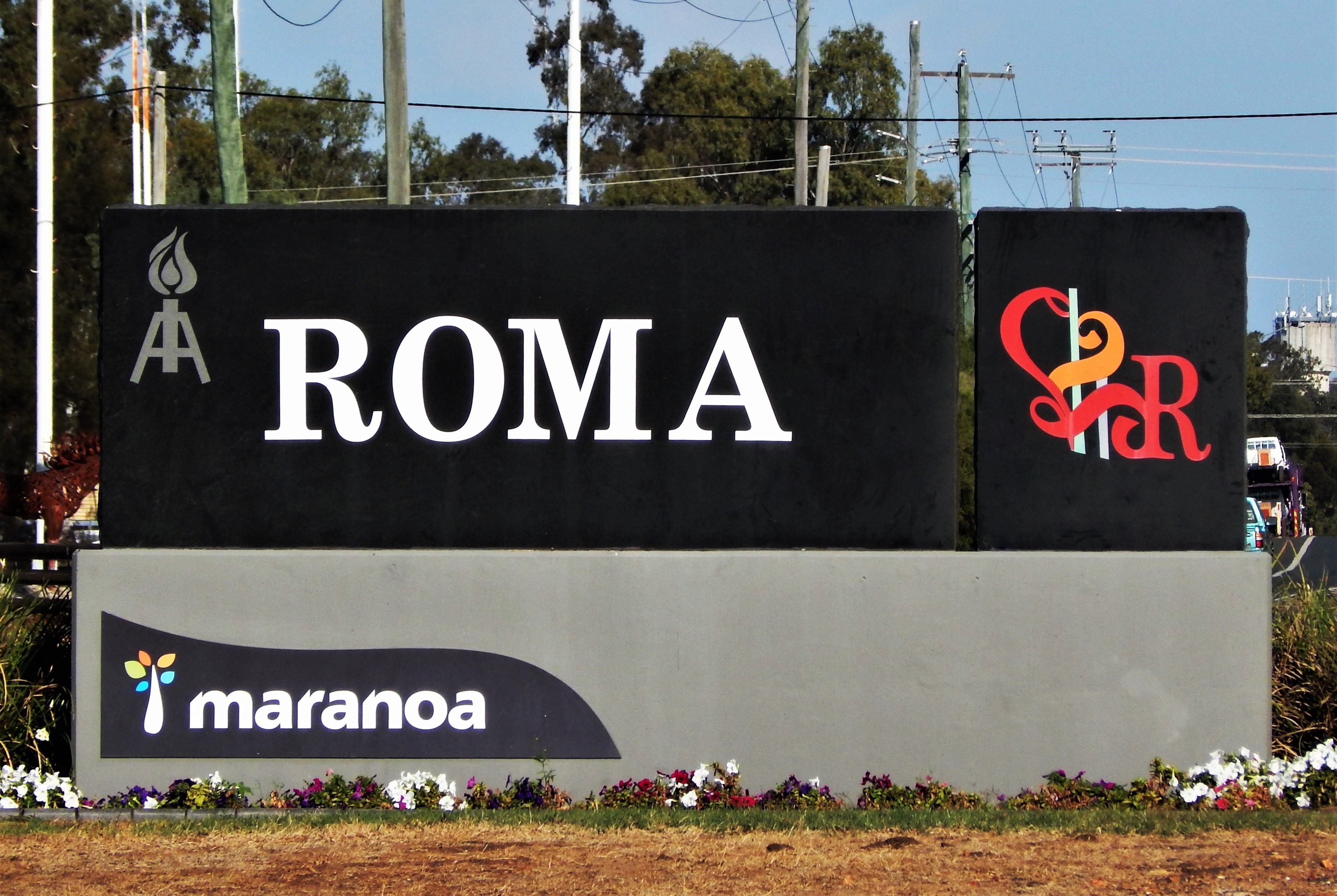
Roma is a rural town and Suburbs and localities (Australia), locality in the Maranoa Region, Queensland, Australia. It is the administrative centre of the Maranoa Region. The town was incorporated in 1867 and is named after Lady Diamantina Bowen (née di Roma), the wife of Sir George Bowen, the Governor of Queensland at the time. In the , the locality of Roma had a population of 6,838 people. Geography Roma is in the Maranoa, Queensland, Maranoa district of South West Queensland. It is situated at the junction of the Warrego Highway, Warrego and Carnarvon Highway, Carnarvon highways. It is also a major town on the Western railway line, Queensland, Western Railway Line from Toowoomba and Brisbane. It is the centre of a rich pastoral and wheat-growing district. History Mandandanji Prior to British colonisation, the Aboriginal peoples of the Mandandanji Nation occupied this region. Mandandanji language, Mandandanji (also known as Mandandanyi, Mandandanjdji, Kogai) is ... [...More Info...] [...Related Items...] OR: [Wikipedia] [Google] [Baidu] |
Brisbane
Brisbane ( ; ) is the List of Australian capital cities, capital and largest city of the States and territories of Australia, state of Queensland and the list of cities in Australia by population, third-most populous city in Australia, with a population of approximately 2.8 million. Brisbane lies at the centre of South East Queensland, an urban agglomeration with a population of over 4 million. The Brisbane central business district, central business district is situated within a peninsula of the Brisbane River about from its mouth at Moreton Bay. Brisbane's metropolitan area sprawls over the hilly floodplain of the Brisbane River Valley between Moreton Bay and the Taylor Range, Taylor and D'Aguilar Range, D'Aguilar mountain ranges, encompassing several local government in Australia, local government areas, most centrally the City of Brisbane. The demonym of Brisbane is ''Brisbanite''. The Moreton Bay penal settlement was founded in 1824 at Redcliffe, Queensland, Redcliff ... [...More Info...] [...Related Items...] OR: [Wikipedia] [Google] [Baidu] |
Electoral District Of Warrego
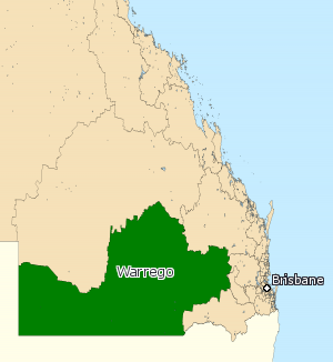
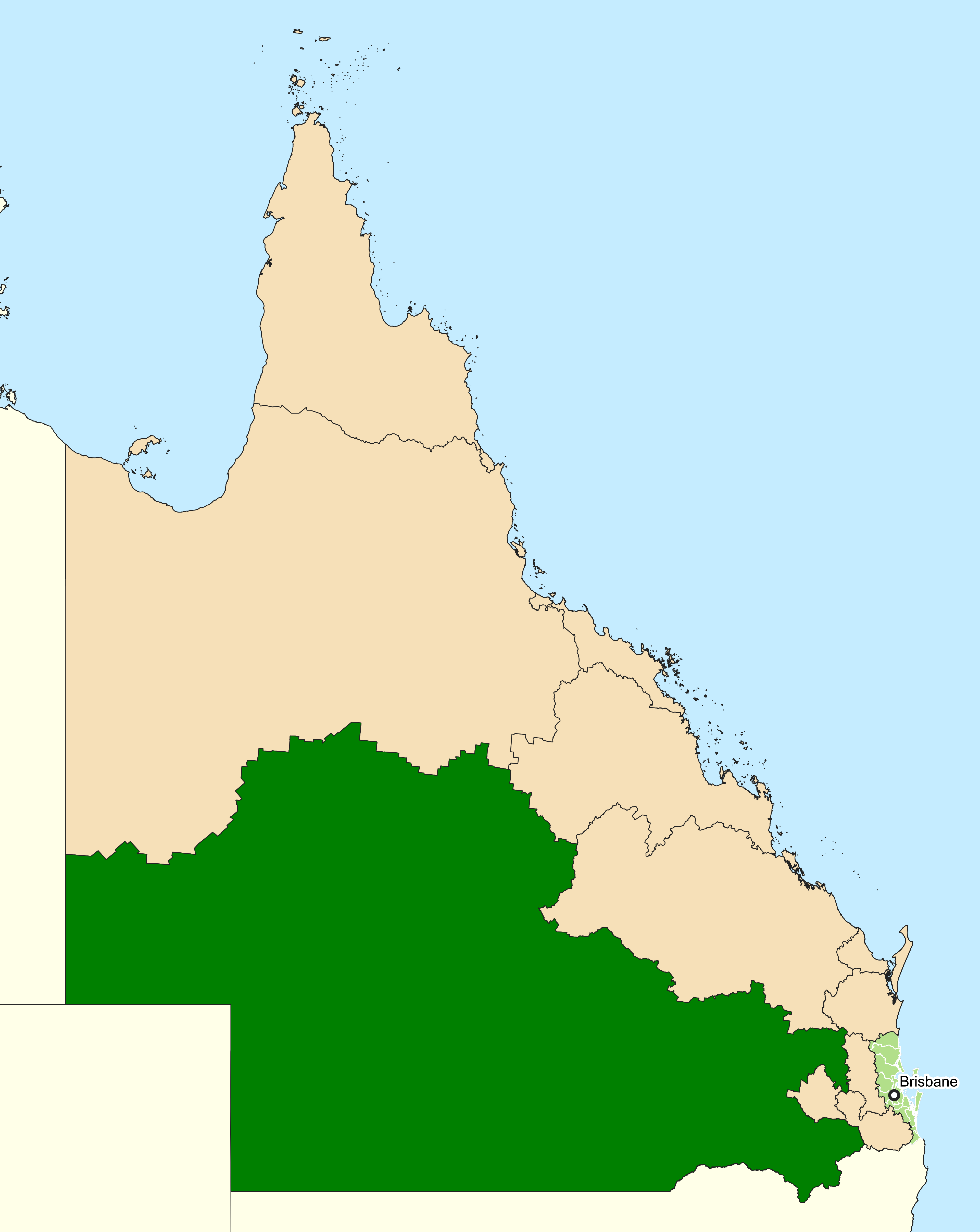
Warrego is an electoral district of the Legislative Assembly in the Australian state of Queensland. The electorate lies in the extreme southwest of Queensland, running along the western part of the border with New South Wales. It includes the large town of Dalby, as well as the rural centres of Surat, Roma, Tara, Charleville, Augathella, St George and Cunnamulla Cunnamulla () is a town and a Suburbs and localities (Australia), locality in the Shire of Paroo, Queensland, Australia. It is south of Charleville, Queensland, Charleville, and approximately west of the state capital, Brisbane. In the 2021 Au .... History The electoral district of Warrego was created by the ''Additional Members Act of 1864'' which introduced six new single-member electorates. A by-election was held to fill the seat. The nomination date was 18 March 1865 and the election was held on 25 March 1865. Warrego was, as with the rest of the state, held by independents and loose groupings of member ... [...More Info...] [...Related Items...] OR: [Wikipedia] [Google] [Baidu] |
Division Of Maranoa
The Division of Maranoa is an Divisions of the Australian House of Representatives, Australian electoral division in Queensland. Maranoa extends across the Outback, Southern Outback and is Social conservatism, socially conservative. It is the largest electorate in Queensland and the fifth largest federal electorate in Australia, being three times the size of Victoria (state), Victoria. In the 2016 Australian federal election, 2016 and 2019 Australian federal election, 2019 federal elections, Pauline Hanson's One Nation finished ahead of Australian Labor Party, Labor on preference count, reaching a peak in 2016 with 17.82% of the primary vote. Maranoa is a stronghold for the Liberal National Party of Queensland. The current Parliament of Australia, MP is David Littleproud, former Ministry of Agriculture, Minister of Agriculture and 2022 National Party of Australia leadership spill, current leader of the National Party of Australia, National Party. Geography Since 1984, federal ... [...More Info...] [...Related Items...] OR: [Wikipedia] [Google] [Baidu] |
Quilpie, Queensland
Quilpie ( ) is a rural town and Suburbs and localities (Australia), locality in the Shire of Quilpie, Shire of Quilpie, Queensland, Australia. In the , the locality of Quilpie had a population of 530 people. The town is the administrative centre of the Shire of Quilpie, Quilpie Shire Local government in Australia, local government area. The town of Toompine, Queensland, Toompine is also within the locality. The economy of the area is based on the grazing and mining industries. The area has one of the largest deposits of opal, boulder opal in the world, and also has extensive deposits of natural gas, gas and Petroleum, oil. Geography Quilpie is in Channel Country on the banks of the Bulloo River. It is on the Diamantina Developmental Road, west of Charleville, Queensland, Charleville, west of Toowoomba and west of the state capital, Brisbane. Quilpie is the administrative centre of the Quilpie Shire. The town of Quilpie is in the north of the locality, while the smaller ... [...More Info...] [...Related Items...] OR: [Wikipedia] [Google] [Baidu] |
Shire Of Quilpie
The Shire of Quilpie is a local government area in South West Queensland, Australia. It covers an area of , and its administrative centre is the town of Quilpie. The dominant industry is grazing. Opal Opal is a hydrated amorphous form of silicon dioxide, silica (SiO2·''n''H2O); its water content may range from 3% to 21% by weight, but is usually between 6% and 10%. Due to the amorphous (chemical) physical structure, it is classified as a ... fields are also worked within the shire. In the , the Shire of Quilpie had a population of 698 people. History Margany (also known as Marganj, Mardigan, Marukanji, Maranganji) is an Australian Aboriginal language spoken by the Margany people. The Margany language region includes the landscape within the local government boundaries of the Quilpie Shire, taking in Quilpie, Cheepie and Beechal extending towards Eulo and Thargomindah, as well as the properties of Dynevor Downs and Ardoch. The Shire was created on 17 July ... [...More Info...] [...Related Items...] OR: [Wikipedia] [Google] [Baidu] |
Queensland
Queensland ( , commonly abbreviated as Qld) is a States and territories of Australia, state in northeastern Australia, and is the second-largest and third-most populous state in Australia. It is bordered by the Northern Territory, South Australia and New South Wales to the west, south-west and south, respectively. To the east, Queensland is bordered by the Coral Sea and the Pacific Ocean; to the state's north is the Torres Strait, separating the Australian mainland from Papua New Guinea, and the Gulf of Carpentaria to the north-west. With an area of , Queensland is the world's List of country subdivisions by area, sixth-largest subnational entity; it List of countries and dependencies by area, is larger than all but 16 countries. Due to its size, Queensland's geographical features and climates are diverse, and include tropical rainforests, rivers, coral reefs, mountain ranges and white sandy beaches in its Tropical climate, tropical and Humid subtropical climate, sub-tropical c ... [...More Info...] [...Related Items...] OR: [Wikipedia] [Google] [Baidu] |
Queensland Family History Society
The Queensland Family History Society (QFHS) is an incorporated association formed in Brisbane, Queensland, Australia. History The society was established in 1979 as a non-profit, non-sectarian, non-political organisation. They aim to promote the study of family history local history, genealogy, and heraldry, and encourage the collection and preservation of records relating to the history of Queensland Queensland ( , commonly abbreviated as Qld) is a States and territories of Australia, state in northeastern Australia, and is the second-largest and third-most populous state in Australia. It is bordered by the Northern Territory, South Austr ... families. At the end of 2022, the society relocated from 58 Bellevue Avenue, Gaythorne () to its new QFHS Family History Research Centre at 46 Delaware Street, Chermside (). References External links * Non-profit organisations based in Queensland Historical societies of Queensland Libraries in Brisbane Family ... [...More Info...] [...Related Items...] OR: [Wikipedia] [Google] [Baidu] |
Distance Education In Queensland
School of the Air is a generic term for correspondence schools catering for the primary and early secondary education of children in remote and outback Australia where some or all classes were historically conducted by radio, although this is now replaced by telephone and internet technology. In these areas, the school-age population is too small for a conventional school to be viable. History Circa 1929, Alfred Traeger invented the pedal radio which allowed people in remote areas to communicate over long distances, reducing their social isolation. One important use of the technology was to receive medical advice or summon a doctor by contacting the Royal Flying Doctor Service. Educator Adelaide Miethke realised the same technology could be used for by teachers to deliver lessons to students in remote locations, leading to the establishment of School of the Air. The first School of the Air lessons were officially delivered from the Royal Flying Doctor Service base in Alice ... [...More Info...] [...Related Items...] OR: [Wikipedia] [Google] [Baidu] |


