|
Tockholes
Tockholes is a village and civil parish which forms part of the Blackburn with Darwen unitary authority in the English county of Lancashire, England. Tockholes consists of the village of Tockholes itself and the hamlet of Ryal Fold, and has a population of 454, increasing to 478 at the 2011 Census. It lies on the West Pennine Moors and is surrounded by the towns of Blackburn to the north and Darwen to the east and by the villages of Belmont to the south and Withnell to the west. Darwen Tower is a prominent local landmark that lies to the east of Tockholes and the Roddlesworth Reservoirs and Tockholes forest plantation lie to the south with the M65 passing to the north. There are two churches: Tockholes United Reformed Church and Saint Stephen's Church. History Early settlement Archaeological records for the area in and around Tockholes reveal the presence of Tribal communities as early as 2,000BC. The area is thought to have been inhabited by both Celtic and Anglo-Saxon set ... [...More Info...] [...Related Items...] OR: [Wikipedia] [Google] [Baidu] |
Hollinshead Hall
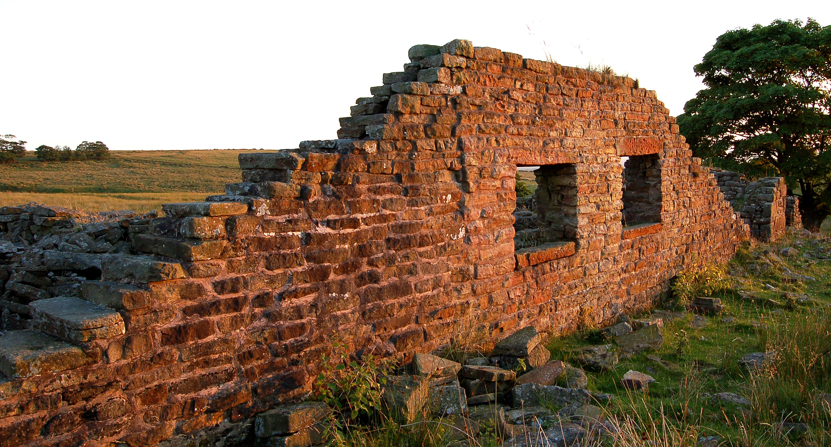
Hollinshead Hall was a manor house close to the village of Tockholes, Lancashire. It is unclear whether the hall was originally the manor house of Tockholes, or if Hollinshead was indeed a manor in its own right alongside Tockholes and Livesey.http://www.british-history.ac.uk/report.aspx?compid=53119 here The ruins of the hall are situated approximately south of the village. The main features of the site consist of the ruins of the late 18th century hall and Gardens, and the associated barn and stables. To the south of here are the remains of the farmhouse and farm buildings, and at the south-east side of the enclosed garden is a well house, the only structure on the site which remains standing today. Etymology The name "Hollinshead hall" is presumed to come from the Hollinshead family who are said to have built the hall at some point before the 14th century and from the Manor of Hollinshead itself, however sources to verify this are being awaited. To date the earliest record of ... [...More Info...] [...Related Items...] OR: [Wikipedia] [Google] [Baidu] |
Blackburn
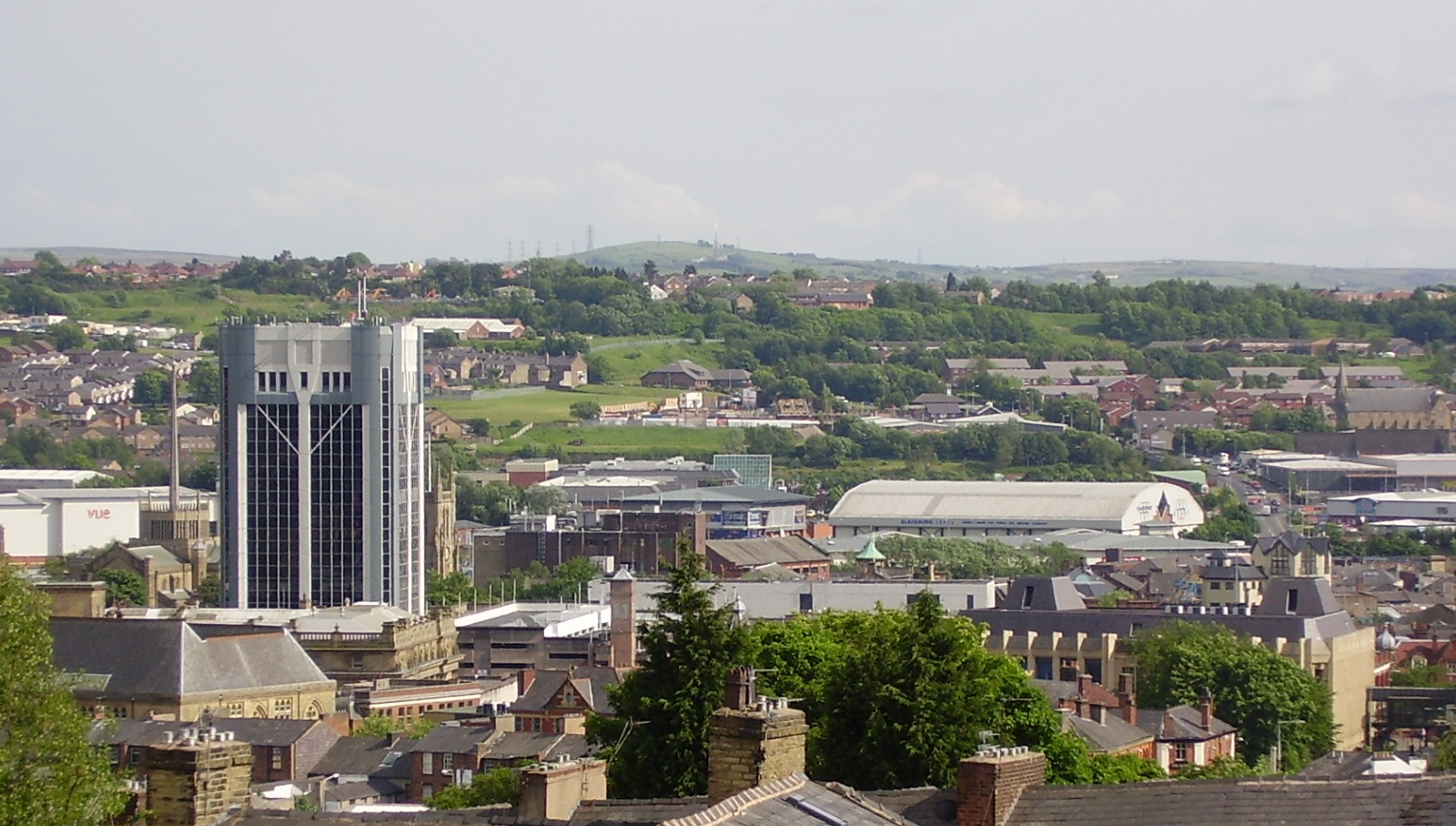
Blackburn () is an industrial town and the administrative centre of the Blackburn with Darwen borough in Lancashire, England. The town is north of the West Pennine Moors on the southern edge of the River Ribble, Ribble Valley, east of Preston, Lancashire, Preston and north-northwest of Manchester. Blackburn is at the centre of the wider unitary authority area along with the town of Darwen. It is the second largest town (after Blackpool) in Lancashire. At the United Kingdom Census 2011, 2011 census, Blackburn had a population of List of urban areas in England by population, 117,963, whilst the wider borough of Blackburn with Darwen had a population of List of English districts by population, 150,030. Blackburn had a population of 117,963 in 2011, with 30.8% being people of ethnic backgrounds other than white British. A former mill town, Blackburn has been the site of textile production since the mid-13th century, when wool was woven in people's houses in the domestic sy ... [...More Info...] [...Related Items...] OR: [Wikipedia] [Google] [Baidu] |
Blackburn With Darwen
Blackburn with Darwen is a unitary authority area with borough status in the ceremonial county of Lancashire, North West England. The borough includes the towns of Blackburn and Darwen plus a wider rural area which includes the villages of Lower Darwen, Feniscowles, Brownhill and Hoddlesden. Formation It was founded in 1974 as the Lancashire borough of Blackburn, from the County Borough of Blackburn, the Municipal Borough of Darwen, the parish of North Turton from Turton Urban District (chiefly the villages of Belmont, Chapeltown and Edgworth) and parts of Blackburn Rural District. It was renamed in May 1997, in preparation for a split from Lancashire County Council. On 1 April 1998 it became a unitary authority. Demographics Ethnicity Religion According to the 2021 census, 38.0% of the population was Christian, 35.0% Muslim, 0.3% Hindu, 0.2% Buddhist, 0.4% followed another religions (including Judaism, Sikhism and others), 21.1% were not affiliated to a reli ... [...More Info...] [...Related Items...] OR: [Wikipedia] [Google] [Baidu] |
West Pennine Moors
The West Pennine Moors is an area of the Pennines covering approximately of moorland and Reservoir (water), reservoirs in Lancashire and Greater Manchester, England. It is a Site of Special Scientific Interest. The West Pennine Moors are separated from the main Pennine range by the Irwell Valley to the east. The moorland includes Withnell, Anglezarke and Rivington Moors in the extreme west, Darwen and Turton Moors, Oswaldtwistle#Oswaldtwistle Moor, Oswaldtwistle Moors and Holcombe Moors. These moors are lower in height than the main spine of the South Pennines. At , the highest point is at Winter Hill (North West England), Winter Hill. The area is of historical importance with archaeological evidence of human activity from Neolithic times. The area is close to urban areas, the dramatic backdrop to Bolton, Blackburn and Bury, Greater Manchester, Bury and neighbouring towns affording panoramic views across the Lancashire Plain and the Greater Manchester conurbation. The moorland is ... [...More Info...] [...Related Items...] OR: [Wikipedia] [Google] [Baidu] |
Belmont, Lancashire
Belmont is a village and former civil parish, now in the parish of North Turton, in the unitary authority area of Blackburn with Darwen, in the ceremonial county of Lancashire, England. It is close to Darwen and has around 500 inhabitants. History Archaeological finds at or near Belmont have been Mesolithic material and a flint blade, Flint Microlith Core and Flint Scraper. Finds have included Neolithic Barbed and tanged arrowheads. Items found from the Bronze Age include a spearhead with Bronze Age Round cairns on Noon Hill and Winter Hill. Before 1804 Belmont was known as Hordern and was part of the upper part of the township of Sharples in the parish of Bolton le Moors. The township contained cotton mills, a large dye works owned by Thomas Rycroft that had a landmark chimney (which has been demolished), and a print works; there was a paper works at Spring Side in Folds. Following a factory fire several years ago a housing estate was developed with houses designed t ... [...More Info...] [...Related Items...] OR: [Wikipedia] [Google] [Baidu] |
Preston, Lancashire
Preston () is a city on the north bank of the River Ribble in Lancashire, England. The city is the administrative centre of the county of Lancashire and the wider City of Preston, Lancashire, City of Preston local government district. Preston and its surrounding district obtained City status in the United Kingdom, city status in 2002, becoming England's 50th city in the 50th year of Elizabeth II of the United Kingdom, Queen Elizabeth II's reign. Preston had a population of 147,800 at the 2021 census, the City of Preston district 156,411 in 2023 and the Preston Built-up Area 313,322. The Preston Travel To Work Area, in 2011, had a population of 420,661, compared with 354,000 in the previous census. The south bank of the Ribble is part of the Preston urban area, although it forms the South Ribble borough that is administratively separate. Preston and its surrounding area have provided evidence of ancient Roman Britain, Roman activity, largely in the form of a Roman road that led ... [...More Info...] [...Related Items...] OR: [Wikipedia] [Google] [Baidu] |
Coin
A coin is a small object, usually round and flat, used primarily as a medium of exchange or legal tender. They are standardized in weight, and produced in large quantities at a mint in order to facilitate trade. They are most often issued by a government. Coins often have images, numerals, or text on them. The faces of coins or medals are sometimes called the ''obverse'' and the ''reverse'', referring to the front and back sides, respectively. The obverse of a coin is commonly called ''heads'', because it often depicts the head of a prominent person, and the reverse is known as ''tails''. The first metal coins – invented in the ancient Greek world and disseminated during the Hellenistic period – were precious metal–based, and were invented in order to simplify and regularize the task of measuring and weighing bullion (bulk metal) carried around for the purpose of transactions. They carried their value within the coins themselves, but the stampings also induced manip ... [...More Info...] [...Related Items...] OR: [Wikipedia] [Google] [Baidu] |
Tumulus
A tumulus (: tumuli) is a mound of Soil, earth and Rock (geology), stones raised over a grave or graves. Tumuli are also known as barrows, burial mounds, mounds, howes, or in Siberia and Central Asia as ''kurgans'', and may be found throughout much of the world. A cairn, which is a mound of stones built for various purposes, may also originally have been a tumulus. Tumuli are often categorised according to their external apparent shape. In this respect, a long barrow is a long tumulus, usually constructed on top of several burials, such as passage graves. A round barrow is a round tumulus, also commonly constructed on top of burials. The internal structure and architecture of both long and round barrows have a broad range; the categorization only refers to the external apparent shape. The method of may involve a dolmen, a cist, a mortuary enclosure, a mortuary house, or a chamber tomb. Examples of barrows include Duggleby Howe and Maeshowe. Etymology The word ''tumulus'' ... [...More Info...] [...Related Items...] OR: [Wikipedia] [Google] [Baidu] |
Stone Circles
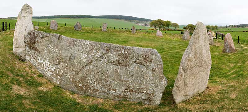
A stone circle is a ring of megalithic standing stones. Most are found in Northwestern Europe – especially Stone circles in the British Isles and Brittany – and typically date from the Late Neolithic and Early Bronze Age, with most being built between 3300 and 2500 BC. The best known examples include those at the henge monument at Avebury, the Rollright Stones, Castlerigg stone circle, Castlerigg, and elements within the ring of standing stones at Stonehenge. Scattered examples exist from other parts of Europe. Later, during the Iron Age Europe, Iron Age, stone circles were Stone circle (Iron Age), built in southern Scandinavia. The archetypical stone circle is an uncluttered enclosure, large enough to congregate inside, and composed of megalithic stones. Often similar structures are named 'stone circle', but these names are either historic, or incorrect. Examples of commonly misinterpreted stone circles are ring cairns, Tumulus, burial mounds, and kerb cairns. Although it i ... [...More Info...] [...Related Items...] OR: [Wikipedia] [Google] [Baidu] |
Human Settlement
In geography, statistics and archaeology, a settlement, locality or populated place is a community of people living in a particular location, place. The complexity of a settlement can range from a minuscule number of Dwelling, dwellings grouped together to the largest of cities with surrounding Urban area, urbanized areas. Settlements include Homestead_(building), homesteads, hamlet (place), hamlets, villages, towns and city, cities. A settlement may have known historical properties such as the date or era in which it was first settled or first settled by particular people. A number of factors like war, erosion, and the fall of great empires can result in the formation of abandoned settlements which provides relics for archaeological studies. The Human settling, process of settlement involves human migration. In the field of geospatial predictive modeling, settlements are "a city, town, village or other agglomeration of buildings where people live and work". A settlement co ... [...More Info...] [...Related Items...] OR: [Wikipedia] [Google] [Baidu] |
Ancient Rome
In modern historiography, ancient Rome is the Roman people, Roman civilisation from the founding of Rome, founding of the Italian city of Rome in the 8th century BC to the Fall of the Western Roman Empire, collapse of the Western Roman Empire in the 5th century AD. It encompasses the Roman Kingdom (753–509 BC), the Roman Republic (50927 BC), and the Roman Empire (27 BC476 AD) until the fall of the western empire. Ancient Rome began as an Italic peoples, Italic settlement, traditionally dated to 753 BC, beside the River Tiber in the Italian peninsula. The settlement grew into the city and polity of Rome, and came to control its neighbours through a combination of treaties and military strength. It eventually controlled the Italian Peninsula, assimilating the Greece, Greek culture of southern Italy (Magna Graecia) and the Etruscans, Etruscan culture, and then became the dominant power in the Mediterranean region and parts of Europe. At its hei ... [...More Info...] [...Related Items...] OR: [Wikipedia] [Google] [Baidu] |
Bolton
Bolton ( , locally ) is a town in Greater Manchester in England. In the foothills of the West Pennine Moors, Bolton is between Manchester, Blackburn, Wigan, Bury, Greater Manchester, Bury and Salford. It is surrounded by several towns and villages that form the wider Metropolitan Borough of Bolton, borough, of which Bolton is the administrative centre. The town is within the Historic counties of England, historic county boundaries of Lancashire. A former mill town, Bolton has been a centre for textile production since the 14th century when Flemish people, Flemish weavers settled in the area, introducing a wool and cotton-weaving tradition. It was a 19th-century boomtown, development largely coincided with the introduction of textile manufacture during the Industrial Revolution. At its peak in 1929, its 216 cotton mills and 26 bleaching and dyeing works made it one of the largest and most productive centres of Spinning (textiles), cotton spinning in the world. The Brit ... [...More Info...] [...Related Items...] OR: [Wikipedia] [Google] [Baidu] |


