|
Tirlán
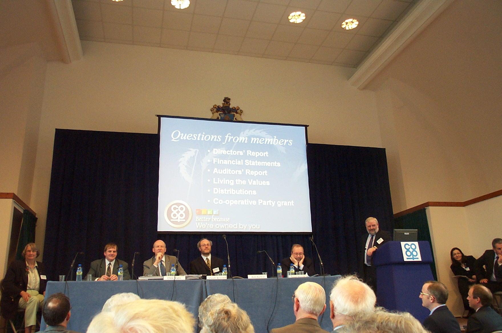
Tirlán (known as Glanbia Co-operative Society Limited from 1997 until 2022) is an Irish dairy co-operative. The co-operative has its roots in a series of amalgamations of small rural co-operative creamery societies throughout County Kilkenny, most notably the amalgamation of Avonmore Creameries Federation in 1966. Prior to the full takeover of Glanbia Ireland, the primary activities of the co-operative had been managing the co-operatives investments for the benefit of its farmer-members. History The Village Creameries amalgamation started when the Avonmore Creameries food brand was first created in 1966, by founder Mr. Redmond Brennan. Their Co-op entity was registered as a public company in 1988, as Avonmore Food plc and later amalgamated with Waterford Food plc in 1997. It is today known as Glanbia, a nutrition company with wholly owned revenues of over €2.3 billion and 6,900 employees in 2018. Their ambition as set out in 2018, is to be a €6bn total revenue group in ... [...More Info...] [...Related Items...] OR: [Wikipedia] [Google] [Baidu] |
Glanbia
Glanbia plc ( ) is an Irish global nutrition group with operations in 32 countries. It has leading market positions in sports nutrition, cheese, dairy ingredients, speciality non-dairy ingredients and vitamin and mineral premixes. Glanbia products are sold or distributed in over 130 countries. While Europe and the USA represent the biggest markets, the Group are continuing to expand into the Middle East, Africa, Asia Pacific and Latin America. Glanbia's primary listing is on Euronext Dublin. The Group has four segments; Glanbia Nutritionals, Performance Nutrition, Glanbia Ireland and Joint Ventures & Associates, with a combined workforce of over 7,000 employees in 32 countries. Given the company's origins in the co-operative movement, farmer-suppliers of the company retain a significant interest in the company. Glanbia Co-operative Society Limited remains the largest shareholder in Glanbia plc. as of 2022 and retains the right to nominate a number of non-executive directors to ... [...More Info...] [...Related Items...] OR: [Wikipedia] [Google] [Baidu] |
Irish Co-operative Organisation Society
The Irish Co-operative Organisation Society (ICOS) is a co-operative organisation in Ireland. With its roots in the Irish Agricultural Organisation Society, ICOS promotes commercial co-operative businesses and enterprise, across multiple sections of the Irish economy. The Irish Agricultural Organisation Society (IAOS) was founded by Sir Horace Plunkett in 1894 to provide an overarching organisational structure for the numerous small agricultural cooperatives in Ireland at the time. By the mid-twentieth century, co-operativism had greatly expanded in Ireland, and had come to embrace many businesses and groups outside agriculture. The IAOS was re-organised and renamed as the Irish Co-operative Organisation Society to reflect these changes in the Irish economy. Today, ICOS member co-ops and their associated companies have more than 150,000 individual members, 12,000 employees in Ireland, a further 24,000 abroad, and a combined annual turnover of €12 billion. Some of the largest bu ... [...More Info...] [...Related Items...] OR: [Wikipedia] [Google] [Baidu] |
Cooperative
A cooperative (also known as co-operative, co-op, or coop) is "an autonomous association of persons united voluntarily to meet their common economic, social and cultural needs and aspirations through a jointly owned and democratically-controlled enterprise".Statement on the Cooperative Identity. '' International Cooperative Alliance.'' Cooperatives are democratically controlled by their members, with each member having one vote in electing the board of directors. Cooperatives may include: * es owned and managed by the people who cons ... [...More Info...] [...Related Items...] OR: [Wikipedia] [Google] [Baidu] |
Dungarvan
Dungarvan () is a coastal town and harbour in County Waterford, on the south-east coast of Ireland. Prior to the merger of Waterford County Council with Waterford City Council in 2014, Dungarvan was the county town and administrative centre of County Waterford. Waterford City and County Council retains administrative offices in the town. The town's Irish name means "Garbhann's fort", referring to Saint Garbhann who founded a church there in the seventh century. The town lies on the N25 road ( European route E30), which connects Cork, Waterford and Rosslare Europort. Location and access Dungarvan is situated at the mouth of the Colligan River, which divides the town into two parishes - that of Dungarvan to the west, and that of Abbeyside to the east -, these being connected in three places by a causeway and single-span bridge built by the Dukes of Devonshire starting in 1801; by an old railway bridge; and by a ring-road causeway and bridge. History Evidence of ancient ... [...More Info...] [...Related Items...] OR: [Wikipedia] [Google] [Baidu] |
Inch
Measuring tape with inches The inch (symbol: in or ″) is a unit of length in the British imperial and the United States customary systems of measurement. It is equal to yard or of a foot. Derived from the Roman uncia ("twelfth"), the word ''inch'' is also sometimes used to translate similar units in other measurement systems, usually understood as deriving from the width of the human thumb. Standards for the exact length of an inch have varied in the past, but since the adoption of the international yard during the 1950s and 1960s the inch has been based on the metric system and defined as exactly 25.4 mm. Name The English word "inch" ( ang, ynce) was an early borrowing from Latin ' ("one-twelfth; Roman inch; Roman ounce"). The vowel change from Latin to Old English (which became Modern English ) is known as umlaut. The consonant change from the Latin (spelled ''c'') to English is palatalisation. Both were features of Old English phonology; see ... [...More Info...] [...Related Items...] OR: [Wikipedia] [Google] [Baidu] |
Letterkenny
Letterkenny ( ga, Leitir Ceanainn , meaning 'hillside of the O'Cannons'), nicknamed 'the Cathedral Town', is the largest and most populous town in County Donegal, a county in Ulster, the northern province in Ireland. Letterkenny lies on the River Swilly in East Donegal in the north-west of Ulster, and has a population of 19,274. It is the 36th largest settlement in all of Ireland by population (placing it ahead of Sligo, Larne, Banbridge, Armagh and Killarney), and is the 15th largest settlement by population in the province of Ulster (most of which comprises the separate jurisdiction of modern-day Northern Ireland). Along with the nearby city of Derry, Letterkenny is considered a regional economic gateway for the north-west of Ireland. Letterkenny acts as an urban gateway to the Ulster '' Gaeltacht'', similar to Galway's relationship to the Connemara ''Gaeltacht''. Letterkenny began as a market town at the start of the 17th century, during the Plantation of Ulster. A c ... [...More Info...] [...Related Items...] OR: [Wikipedia] [Google] [Baidu] |
Windgap, County Kilkenny
Windgap (), is a village in County Kilkenny, in Ireland. Windgap is located in the south-western part of Kilkenny on the border with Tipperary, just south of Callan. The village is located on the R689 regional road, the nearest main road being the N76 from Kilkenny to Clonmel. Windgap was named for its location on a pass through hills east of Slievenamon. The landscape of Windgap is dominated by steep hills and large wooded areas. Windgap lies in a former slate-quarrying district spanning the Kilkenny-Tipperary border. Today, agriculture is Windgap's main economic activity, with dairy products as the main export. The most notable buildings in Windgap are its 19th-century graveyard, ''The Old League House'', which once served as a home for poor tenant farmers (see Irish National Land League), and early 20th-century grotto. Those who hail from the village are sometimes referred to as 'Gappers'. History and culture ''The Mayor of Windgap'' is an 1834 novel by Michael Bani ... [...More Info...] [...Related Items...] OR: [Wikipedia] [Google] [Baidu] |
Slieverue
Slieverue, officially Slieveroe, () is a village in South County Kilkenny, Republic of Ireland. It is located in the historical barony of Ida. Despite the name, the land is relatively low-lying and fertile. Slieverue's population, as of the 2016 census, was 476. Geography The village lies alongside the main N25 road, some 5 km from Waterford City and 14 km from New Ross in County Wexford, near the point where the Rivers Barrow and Suir come together. Landmarks A prominent local hill, known as Carriganurra, features a large concrete cross at its summit. This cross was erected by local residents in 1950 to celebrate the Holy Year. The Church of the Assumption is an early nineteenth century Roman Catholic church in Slieverue village. The only church in the parish, it was renovated in the early 1990s. It is listed on the Record of Protected Structures for County Kilkenny. Earlier churches in the area included a church at Drumdowney (built in honour of Saint Patrick ... [...More Info...] [...Related Items...] OR: [Wikipedia] [Google] [Baidu] |
Piltown
Piltown (), historically known as Ballypoyle, is a village in County Kilkenny, Ireland. It lies on the R698 regional road, which was the N24 national primary road before the locality was bypassed in 2002. Approaching Piltown from Carrick-on-Suir in the west is the landmark of "the Tower" (Sham Castle) which forms a roundabout in the road. This monument, dedicated to the son of a local landowner, dates back to the Napoleonic era. The son was enlisted in the War. During this time he went missing and he was presumed dead. His father instructed the tower be built in his honour. It was never completed as the son returned during construction. Today its upper section serves as a water tower. Piltown is also home to Ireland's largest horticultural and agricultural college, Kildalton College. The college hosts a fair called the Iverk Show, named after the Barony of Iverk, on the fourth Saturday in August each year. Piltown is a local electoral area of County Kilkenny and includes th ... [...More Info...] [...Related Items...] OR: [Wikipedia] [Google] [Baidu] |
Mullinavat
Mullinavat () is a town in south County Kilkenny, Republic of Ireland, Ireland. Its main industries are tourism and agriculture. It has a renowned sporting history, particularly in hurling. The town's name in Irish translates as 'The Mill of the Stick' which, according to local tradition, may refer to a mill which could only be approached by means of a rough stick over the Glendonnel River; today that bridge is located on the main road beside the Garda Síochána, Garda Barracks. Location and access The village is located centrally on the R448 road (Ireland), R448 Naas–Waterford roads in Ireland, road. The town was by-passed in July 2010 when the Kilkenny–Waterford section of the M9 motorway (Ireland), M9 opened. There are link roads to New Ross and Piltown from the town centre. The town is bounded by Killahy in the upper end of the parish to Fahee (Fahy) in the lower end, a distance of 11 km. In the west lies Rathnasmolagh with Listrolin at the eastern extremity, a dis ... [...More Info...] [...Related Items...] OR: [Wikipedia] [Google] [Baidu] |
Killenaule
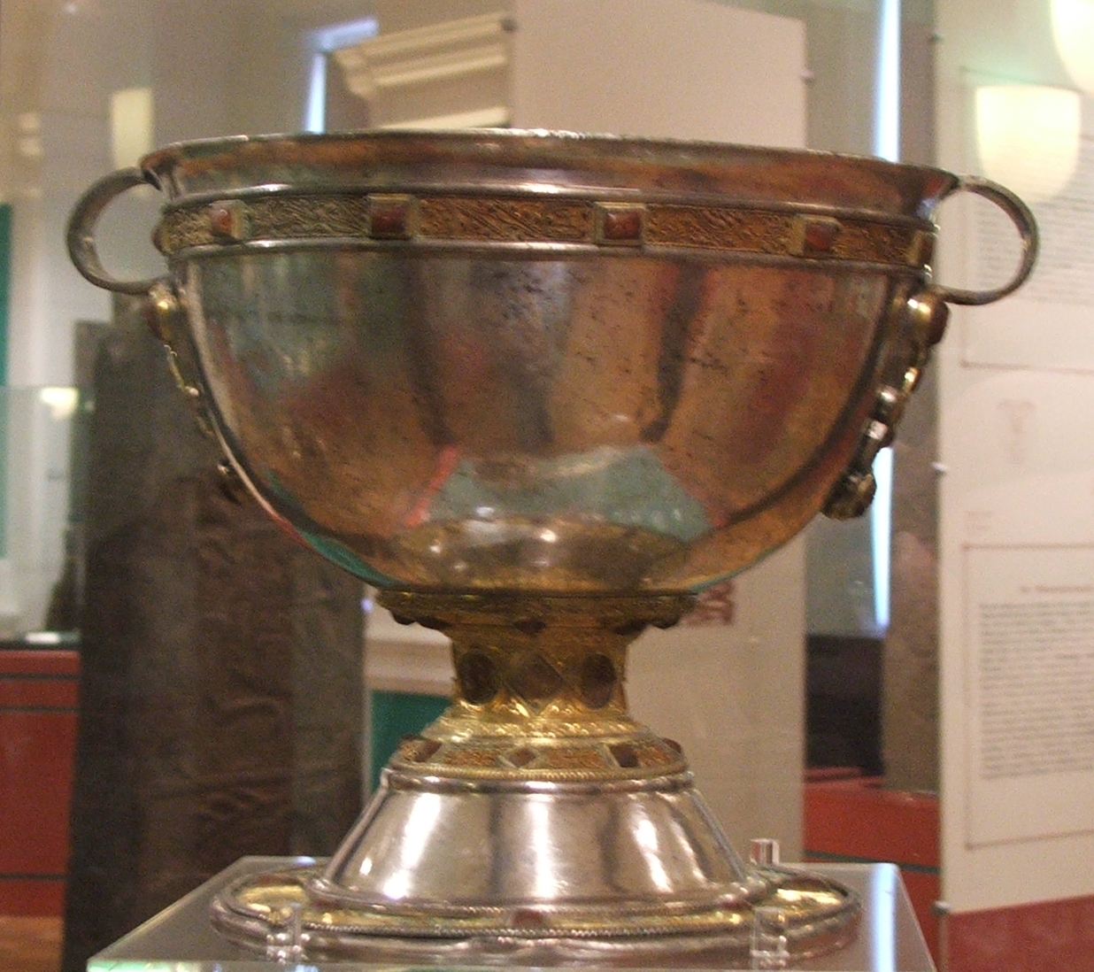
Killenaule () is a small town and civil parish in County Tipperary, Ireland. It is part of the ecclesiastical parish of Killenaule and Moyglass, in the Roman Catholic Archdiocese of Cashel and Emly, and the barony of Slievardagh. It is east of Cashel on the R689 and R691 roads, at the south-western edge of the Slieveardagh Hills. History Killenaule came to national prominence in Ireland due to the discovery of the Derrynaflan Chalice. It was discovered in Derrynaflan Island in 1980 by Michael Webb and his son. They were scanning the area with a metal detector, then a relatively new device on the market. The chalice was part of the Derrynaflan Hoard, consisting of an 8th-century chalice, a strainer or ladle and a paten. They were enclosed in a bronze basin buried 45 cm below ground and found about 20 metres from a church ruin. Demographics In the decade between the 1996 and 2006 census, the population of Killenaule decreased by 17.6% (from 725 to 597 people). In t ... [...More Info...] [...Related Items...] OR: [Wikipedia] [Google] [Baidu] |
Loughcullen
Lough Cullen () is the only lake in County Kilkenny, Ireland. The lake has numerous legends attached to it. Near the town of Kilmacow, Loughcullen is name of the local area. Located in the civil parish Kilcolumb in the barony of Ida, just from Waterford City it is close to the County Waterford border. Loughcullen is notable in the region for being very supportive of the Kilkenny Cats hurling team. On match days and particularly when Kilkenny is participating in the All Ireland, Loughcullen is transformed into Amber and Black, the colours of the hurling team. History ''Lough Cullen Co-operative Agriculture and Dairy Society (C.D.S)'' was set up in 1904. Loughcullen consists generally of land owned by farms in neighbouring Big Wood. Loughcullen used to be the site for the Loughcullen Creamery which served all local farmers however the creamery has closed and is now a supplier to local agricultural workers. See also * List of townlands in County Kilkenny This is a list of a ... [...More Info...] [...Related Items...] OR: [Wikipedia] [Google] [Baidu] |


.jpg)
_p6.220_-_Bessborough_House%2C_Kilkenny.jpg)

