|
Tickencote Marsh
Tickencote Marsh is a three hectare biological Site of Special Scientific Interest west of Tickencote and Great Casterton in Rutland. This site in the valley of the River Gwash is a base-rich grazing marsh, a habitat which is becoming increasingly rare as a result of drainage and a decline in grazing. Common flora include lesser pond-sedge, marsh horsetail ''Equisetum palustre'', the marsh horsetail, is a plant species belonging to the division of horsetails (Equisetopsida). It is widespread in cooler regions of North America and Eurasia. Description ''Equisetum palustre'' is a perennial cryp ... and jointed rush. The site is private land with no public access. References {{SSSIs Rutland Sites of Special Scientific Interest in Rutland ... [...More Info...] [...Related Items...] OR: [Wikipedia] [Google] [Baidu] |
England
England is a country that is part of the United Kingdom. It shares land borders with Wales to its west and Scotland to its north. The Irish Sea lies northwest and the Celtic Sea to the southwest. It is separated from continental Europe by the North Sea to the east and the English Channel to the south. The country covers five-eighths of the island of Great Britain, which lies in the North Atlantic, and includes over 100 smaller islands, such as the Isles of Scilly and the Isle of Wight. The area now called England was first inhabited by modern humans during the Upper Paleolithic period, but takes its name from the Angles, a Germanic tribe deriving its name from the Anglia peninsula, who settled during the 5th and 6th centuries. England became a unified state in the 10th century and has had a significant cultural and legal impact on the wider world since the Age of Discovery, which began during the 15th century. The English language, the Anglican Church, and Eng ... [...More Info...] [...Related Items...] OR: [Wikipedia] [Google] [Baidu] |
Site Of Special Scientific Interest
A Site of Special Scientific Interest (SSSI) in Great Britain or an Area of Special Scientific Interest (ASSI) in the Isle of Man and Northern Ireland is a conservation designation denoting a protected area in the United Kingdom and Isle of Man. SSSI/ASSIs are the basic building block of site-based nature conservation legislation and most other legal nature/geological conservation designations in the United Kingdom are based upon them, including national nature reserves, Ramsar sites, Special Protection Areas, and Special Areas of Conservation. The acronym "SSSI" is often pronounced "triple-S I". Selection and conservation Sites notified for their biological interest are known as Biological SSSIs (or ASSIs), and those notified for geological or physiographic interest are Geological SSSIs (or ASSIs). Sites may be divided into management units, with some areas including units that are noted for both biological and geological interest. Biological Biological SSSI/A ... [...More Info...] [...Related Items...] OR: [Wikipedia] [Google] [Baidu] |
Tickencote
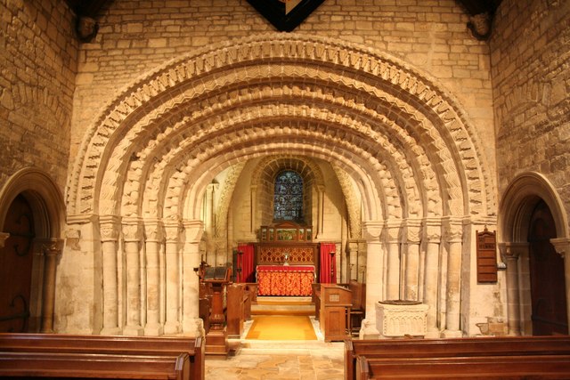
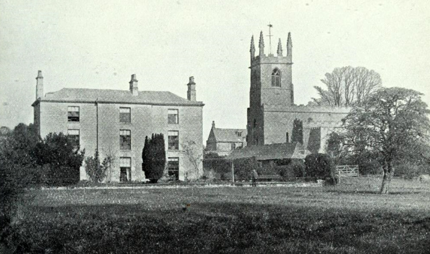
Tickencote is a small village and civil parish in the county of Rutland in the East Midlands of England. It is noted for St Peter's Church, with its Norman chancel arch. The population at the 2001 census was 67. At the 2011 census the population remained less than 100 and was included together with the parish of Great Casterton. Geography The parish essentially stretches along the A1 (Ermine Street) from the Bloody Oakjunctionto the Casterton junction. At the far north of the parish, the Warren Plantation is on the north-east side of the A1. To the north-west is Empingham. On the southern edge of Exeter Gorse, it borders Great Casterton. The boundary with Great Casterton to the B1081 junction is one field's width north-east of the A1, running parallel to the carriageways, passing the eastern edge of Tickencote Warren farm. It crosses the A1 at the B1081 junction 200 metres west of the A1 bridge where it crosses the Rutland Round, following the hedge to the west side of Ingthor ... [...More Info...] [...Related Items...] OR: [Wikipedia] [Google] [Baidu] |
Great Casterton
Great Casterton is a village and civil parish in the county of Rutland in the East Midlands of England. It is located at the crossing of the Roman Ermine Street and the River Gwash. Geography The village is approximately three miles to the north-west of Stamford and very close to the county border with Lincolnshire (South Kesteven). Just to the north is Tickencote. The parish boundary, to the south and east, lies close to the village, and follows the River Gwash. Just west of the B1081 bridge over the Gwash, it borders Tinwell. Just to the west of Ingthorpe (part of Tinwell), it borders Tickencote. The parish boundary crosses the A1 at the turn off for the village. The boundary then follows the A1 north, along the next hedge to the east (a field's width). It passes to the east of Tickencote Warren, and atExeter Gorseit briefly borders Horn, then meets Pickworth. It passes to the south of Eayres Lodge, includes Woodhead, crossing ''Pickworth Road'' south oTaylor's Farm West ... [...More Info...] [...Related Items...] OR: [Wikipedia] [Google] [Baidu] |
Rutland
Rutland () is a ceremonial county and unitary authority in the East Midlands, England. The county is bounded to the west and north by Leicestershire, to the northeast by Lincolnshire and the southeast by Northamptonshire. Its greatest length north to south is only and its greatest breadth east to west is . It is the smallest historic county in England and the fourth smallest in the UK as a whole. Because of this, the Latin motto ''Multum in Parvo'' or "much in little" was adopted by the county council in 1950. It has the smallest population of any normal unitary authority in England. Among the current ceremonial counties, the Isle of Wight, City of London and City of Bristol are smaller in area. The former County of London, in existence 1889 to 1965, also had a smaller area. It is 323rd of the 326 districts in population. The only towns in Rutland are Oakham, the county town, and Uppingham. At the centre of the county is Rutland Water, a large artificial reser ... [...More Info...] [...Related Items...] OR: [Wikipedia] [Google] [Baidu] |
River Gwash
The River Gwash, occasionally Guash, a tributary of the River Welland, flows through the English counties of Leicestershire, Rutland and Lincolnshire. It rises just outside the village of Knossington in Leicestershire, near the western edge of Rutland. It is about long. Course The source of the river is just north-west of the village of Knossington, but the Gwash is formed of several small headwaters that come together near Braunston-in-Rutland before passing the site of Brooke Priory at and running westward to pass under the railway northwest of Manton (). The Gwash then helps to fill the Rutland Water reservoir which was formed by damming its valley at Empingham. From the reservoir a controlled flow is released to maintain the flow around Tolethorpe Hall and Stamford and into the River Welland. The flow is enhanced by the Gwash's tributary, the North Brook, at in Empingham, which significantly helps maintain riverlife. East of Stamford, its course is now fixed, b ... [...More Info...] [...Related Items...] OR: [Wikipedia] [Google] [Baidu] |
Base-richness
In ecology, base-richness is the level of chemical bases in water or soil, such as calcium or magnesium ions. Many organisms prefer base-rich environments. Chemical bases are alkalis, hence base-rich environments are either neutral or alkaline. Because acid-rich environments have few bases, they are dominated by environmental acids (usually organic acids). However, the relationship between base-richness and acidity is not a rigid one – changes in the levels of acids (such as dissolved carbon dioxide) may significantly change acidity without affecting base-richness. Base-rich terrestrial environments are characteristic of areas where underlying rocks (below soil) are limestone. Seawater is also base-rich, so maritime and marine environments are themselves base-rich. Base-poor environments are characteristic of areas where underlying rocks (below soil) are sandstone or granite, or where the water is derived directly from rainfall ( ombrotrophic). Examples of base-rich ... [...More Info...] [...Related Items...] OR: [Wikipedia] [Google] [Baidu] |
Lesser Pond-sedge
''Carex acutiformis'', the lesser pond-sedge, is a species of Carex, sedge. Description It grows up to tall, with leaves up to long and wide. Ecology It is native to parts of northern and western Europe, where it grows in moist spots in a number of habitat types. In its native European range this species is often associated with the Juncus subnodulosus-Cirsium palustre fen-meadow, ''Juncus subnodulosus''–''Cirsium palustre'' fen-meadow habitat. It is also a dominant plant in the ''Carex acutiformis'' swamp plant association. References External links * * Carex, acutiformis Flora of Europe Flora of Asia Flora of North Africa Plants described in 1789 Taxa named by Jakob Friedrich Ehrhart {{Carex-stub ... [...More Info...] [...Related Items...] OR: [Wikipedia] [Google] [Baidu] |
Marsh Horsetail
''Equisetum palustre'', the marsh horsetail, is a plant species belonging to the division of horsetails (Equisetopsida). It is widespread in cooler regions of North America and Eurasia. Description ''Equisetum palustre'' is a perennial cryptophyte, growing between 10 and 50 centimeters (4" to 20"), in rare cases up to one meter (3'). Its fertile shoots, which carry ears, are evergreen and shaped like the sterile shoots. The rough, furrowed stem is one to three mm in diameter with usually eight to ten ribs, in rare cases, four to 12. It contains whorled branches. The tight-fitting sheaths end in four to 12 teeth. The lower sheaths are dark brown and much shorter than the sheaths of the main shoot. The central and vallecular canals are about the same size, but the carinal channels are much smaller. The central channels measure about one sixth of the diameter of the stem. The spores are spread by the wind (anemochory) and have four long ribbon-like structures attached to them ... [...More Info...] [...Related Items...] OR: [Wikipedia] [Google] [Baidu] |
Juncus Articulatus
''Juncus articulatus'' is a flowering plant species in the rush family Juncaceae. It is known by the common name jointleaf rush or jointed rush, which can also refer to '' J. kraussii'' from Australia. It is native to Eurasia, Canada, Greenland, and much of the United States. It grows in moist areas, such as wet sand, and thrives in calcareous soils. ''J. articulatus'' was found to be more sensitive to drought and salt stress than its congeners ''J. acutus'' and ''J. maritimus''.Al Hassan, M., Lopez-Gresa, M., Boscaiu, M., Vicente, O. (2016) Stress tolerance mechanisms in Juncus: Responses to salinity and drought in three Juncus species adapted to different natural environments. Functional Plant Biology. DOI: 10.1071/FP16007. It is a perennial herb producing mainly erect stems from a short rhizome. The stem may root at nodes, and it generally has one or more flattened hollow cylindrical leaves up to 10 centimeters long. Transverse internal partitions or joints may be seen or fel ... [...More Info...] [...Related Items...] OR: [Wikipedia] [Google] [Baidu] |


.jpg)
