|
Threemiletown
Threemiletown is a village in West Lothian, Scotland. The settlement sits north of Ecclesmachan and west of Winchburgh. History There is a mid to late 18th century farmstead in Threemiletown which is category C listed. It is one of the oldest established farmsteads of the Hopetoun House estate. There is also a part abandoned former farmstead with an extant boilerhouse and large chimney just to the south of the village. It is a well-preserved example of the buildings of a steam-powered threshing installation. The use of fixed steam engines was a feature of intensive grain growing in the mid 19th century. Trinlaymire is a former brick and tile works that existed on the edge of Threemiletown in the 19th century. In 1896, a shale oil pit mine was developed in Threemiletown, to the east of Redhill cottages, which closed in 1958. In 1941, a miner died in an industrial accident at Threemiletown. Another fatality occurred in 1947. In 1961 it had a population of 108. In October 2014, a d ... [...More Info...] [...Related Items...] OR: [Wikipedia] [Google] [Baidu] |
Uphall Railway Station
Uphall railway station serves the village of Uphall Station and some areas of Livingston in West Lothian, Scotland. It is located on the North Clyde Line, 12½ miles (20 km) west of Edinburgh. History The station was opened as Houston by the Edinburgh and Bathgate Railway on 12 November 1849. On 1 August 1856 it was renamed as Uphall. The station closed on 9 January 1956. Uphall Station was a large hub, centred on West Lothian oil production and shale mining. The area has changed beyond recognition in recent years. Before the M8 was constructed, Uphall oil works lay just north of the station, with extensive exchange sidings located next to the station. A branch continued north to Uphall, then swung eastward just south of Ecclesmachan (where a branch from Threemiletown joined). The line continued to the Greendykes area of Broxburn, (Albyn or Albion Oil works) where it connected with the lines from Broxburn junction (Winchburgh) (the Broxburn Railway) and Drumshorelan ... [...More Info...] [...Related Items...] OR: [Wikipedia] [Google] [Baidu] |
Ecclesmachan
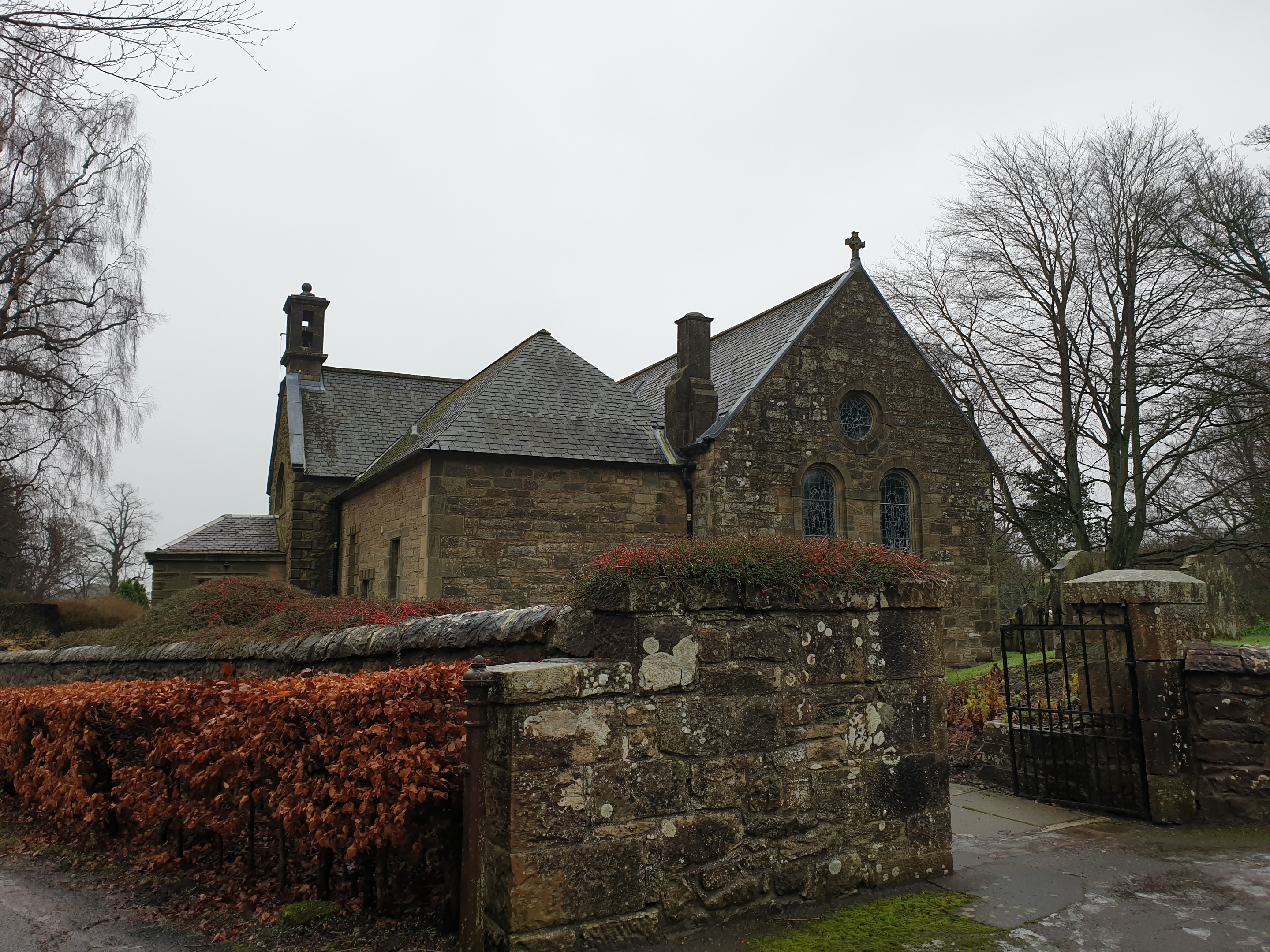
Ecclesmachan (Gaelic: ''Eaglais Mhachain'') (Welsh: ''Eglwys Machan'') (NT058736) is an historic village in West Lothian. It lies just north of Uphall on the B8046 road. The village is notable for its medieval origin parish church. As at 2001, the population of the civil parish of Ecclesmachan was 529 and was 811 in 1991. History The name means 'church of Saint Machan', and is its form is thought to show that a church was present in the area in Sub-Roman times. However, it is not clear whether the name was coined in Gaelic or in the earlier Celtic language Cumbric (Old Welsh). Ecclesmachan parish church is medieval in origin and dates to the 13th century (consecrated in 1244), although it was extensively altered in the 18th century. The Building is Category B listed and retains an arched Norman style doorway. The Church was extended in 1710 and again in 1908, with a porch added. A date of 1710 is inscribed on one lintel.Buildings of Scotland: Lothian by Colin McWilliam The mo ... [...More Info...] [...Related Items...] OR: [Wikipedia] [Google] [Baidu] |
Philpstoun Railway Station
Philpstoun railway station was a railway station in the village of Philpstoun, to the east of Linlithgow in West Lothian, Scotland. It was located on the Edinburgh and Glasgow Railway. History Philpstoun station was opened by the Edinburgh and Glasgow Railway on 21 February 1842. It was closed on 18 June 1951 by British Railways. The area around Philpstoun, in common with others in West Lothian, was an extremely busy centre for shale mining and petroleum manufacturing for almost a century, and this was reflected in the railways around Philpstoun. The station itself was situated in a deep cutting, and had two platforms. Immediately to the west, a facing junction, with crossovers and a looping facilities connected to a set of exchange sidings at Westfield, and these ran into Philpstoun No 1 shale mine. Extensive sidings connected within the facility, and a short branch ran just west of the (still extant) shale bings, crossing the canal, and continuing past Easter Pardovan in ... [...More Info...] [...Related Items...] OR: [Wikipedia] [Google] [Baidu] |
West Lothian
West Lothian ( sco, Wast Lowden; gd, Lodainn an Iar) is one of the 32 council areas of Scotland, and was one of its historic counties. The county was called Linlithgowshire until 1925. The historic county was bounded geographically by the Avon to the west and the Almond to the east. The modern council area occupies a larger area than the historic county. It was reshaped following local government reforms in 1975: some areas in the west were transferred to Falkirk; some areas in the east were transferred to Edinburgh; and some areas that had formerly been part of in Midlothian were added to West Lothian. West Lothian lies on the southern shore of the Firth of Forth and is predominantly rural, though there were extensive coal, iron, and shale oil mining operations in the 19th and 20th centuries. These created distinctive red-spoil heaps (locally known as " bings") throughout the council area. The old county town was the royal burgh of Linlithgow, but the largest town (and t ... [...More Info...] [...Related Items...] OR: [Wikipedia] [Google] [Baidu] |
Scotland
Scotland (, ) is a country that is part of the United Kingdom. Covering the northern third of the island of Great Britain, mainland Scotland has a border with England to the southeast and is otherwise surrounded by the Atlantic Ocean to the north and west, the North Sea to the northeast and east, and the Irish Sea to the south. It also contains more than 790 islands, principally in the archipelagos of the Hebrides and the Northern Isles. Most of the population, including the capital Edinburgh, is concentrated in the Central Belt—the plain between the Scottish Highlands and the Southern Uplands—in the Scottish Lowlands. Scotland is divided into 32 administrative subdivisions or local authorities, known as council areas. Glasgow City is the largest council area in terms of population, with Highland being the largest in terms of area. Limited self-governing power, covering matters such as education, social services and roads and transportation, is devolved from the ... [...More Info...] [...Related Items...] OR: [Wikipedia] [Google] [Baidu] |
Winchburgh
Winchburgh is a village in the council area of West Lothian, Scotland. It is located approximately west of the city-centre of Edinburgh, east of Linlithgow and northeast of Broxburn. Prehistory and archaeology Archaeological excavations in 2013 in advance of the construction of a housing development by CFA Archaeology found the remains of a sub-circular double-ditched enclosure. Not many artefacts were found and radiocarbon dates from waterlogged wood and animal bone were between 1600–200 BC, indicating the people had been living or working in Winchburgh at least a thousand years before the earliest records of the town. History There has been a settlement in Winchburgh for over one thousand years. Early spellings include Wincelburgh (1189); Wynchburghe (1377); from 'wincel' and 'burh' meaning 'Town in the nook or angle'. It is possible that it was named after the bend in the Niddry Burn that runs through the village. The early settlement was probably near to Niddry Cast ... [...More Info...] [...Related Items...] OR: [Wikipedia] [Google] [Baidu] |
Hopetoun House
Hopetoun House is a country house near South Queensferry owned by the Hopetoun House Preservation Trust, a charity established in 1974 to preserve the house and grounds as a national monument, to protect and improve their amenities, and to preserve the furniture, paintings, manuscripts, and other articles of historical interest associated with the house. The south wing of the house is occupied by the family of Adrian Hope, 4th Marquess of Linlithgow. The house is a Category A listed building and the grounds are included in the Inventory of Gardens and Designed Landscapes in Scotland. History Architecture The house was built 1699–1701 and designed by Sir William Bruce with Bruce's master mason Tobias Bauchop in charge of the construction and working drawings (aided by his apprentice Alexander Edward). The house was then hugely extended from 1721 by William Adam until his death in 1748, being one of his most notable projects. The interior was completed by his sons John Ad ... [...More Info...] [...Related Items...] OR: [Wikipedia] [Google] [Baidu] |
Shale Oil
Shale oil is an unconventional oil produced from oil shale rock fragments by pyrolysis, hydrogenation, or thermal dissolution. These processes convert the organic matter within the rock ( kerogen) into synthetic oil and gas. The resulting oil can be used immediately as a fuel or upgraded to meet refinery feedstock specifications by adding hydrogen and removing impurities such as sulfur and nitrogen. The refined products can be used for the same purposes as those derived from crude oil. The term "shale oil" is also used for crude oil produced from shales of other unconventional, very low permeability formations. However, to reduce the risk of confusion of shale oil produced from oil shale with crude oil in oil-bearing shales, the term " tight oil" is preferred for the latter. The International Energy Agency recommends to use the term " light tight oil" and World Energy Resources 2013 report by the World Energy Council uses the term " tight oil" for crude oil in oil-bea ... [...More Info...] [...Related Items...] OR: [Wikipedia] [Google] [Baidu] |
West Lothian Council
West Lothian Council is the local authority for the council area of West Lothian in Scotland. History West Lothian District Council was created in 1975 as one of four districts within the Lothian region. The West Lothian district took its name from the historic county of West Lothian, which had covered a similar but not identical area. The Lothian region was abolished in 1996, when the four districts in the region, including West Lothian, became unitary council areas. Political control The first election to the West Lothian District Council was held in 1974, initially operating as a shadow authority alongside the outgoing authorities until the new system came into force on 16 May 1975. A shadow authority was again elected in 1995 ahead of the reforms which came into force on 1 April 1996. Political control of the council since 1975 has been as follows: West Lothian District Council West Lothian Council Leadership The leaders of the council since 1996 have been: Electi ... [...More Info...] [...Related Items...] OR: [Wikipedia] [Google] [Baidu] |
The Road To Threemiletown - Geograph
''The'' () is a grammatical article in English, denoting persons or things that are already or about to be mentioned, under discussion, implied or otherwise presumed familiar to listeners, readers, or speakers. It is the definite article in English. ''The'' is the most frequently used word in the English language; studies and analyses of texts have found it to account for seven percent of all printed English-language words. It is derived from gendered articles in Old English which combined in Middle English and now has a single form used with nouns of any gender. The word can be used with both singular and plural nouns, and with a noun that starts with any letter. This is different from many other languages, which have different forms of the definite article for different genders or numbers. Pronunciation In most dialects, "the" is pronounced as (with the voiced dental fricative followed by a schwa) when followed by a consonant sound, and as (homophone of the archaic pro ... [...More Info...] [...Related Items...] OR: [Wikipedia] [Google] [Baidu] |


.png)