|
Tenghilan
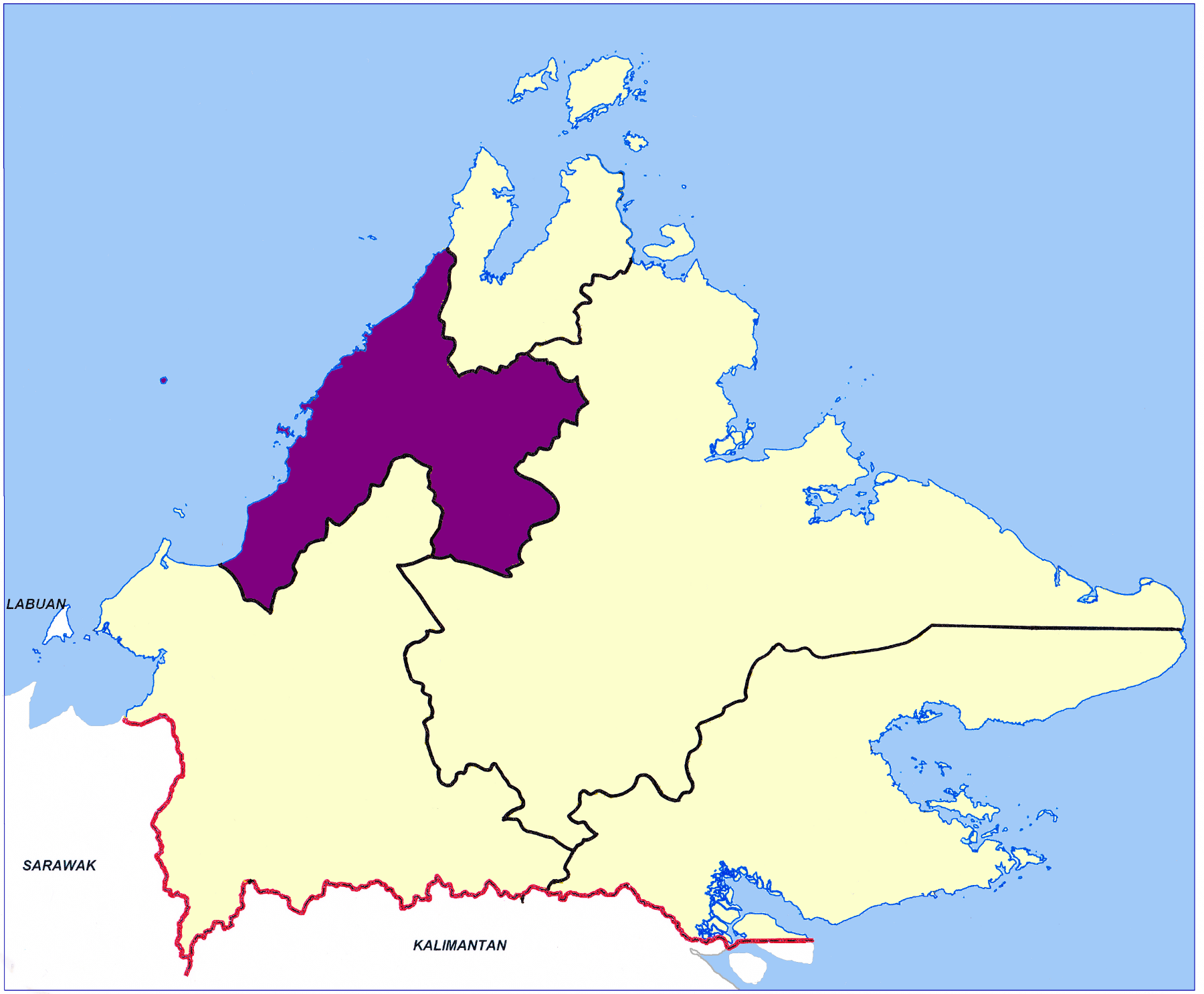
Tenghilan is a small town and mukim under the administration of the Tamparuli Sub-district office. It is located in the Tuaran District of the West Coast Division of Sabah, Malaysia. The Tenghilan area is centered around a small town of the same name located near the road that connects Kota Kinabalu and Kota Belud. In 2010, its population was estimated at 203 inhabitants, mostly of Kadazan-Dusun origin. The town, which covers about 400 hectares of land, is located about 17 km northeast of Tuaran, and 25 km southwest of Kota Belud. Tenghilan hosts a commercial district established in 1930 by British colonial authorities. Businesses in this area were developed by the Chinese and Kadazan-Dusun communities. Currently, the majority of the town's businesses are located on 8 rows of shops and are Chinese-owned. Recently, several two-story units have been built for commercial use. Etymology Tenghilan's trade and economic centralisation began in Kampong Pengalan, as the Pengalan river ... [...More Info...] [...Related Items...] OR: [Wikipedia] [Google] [Baidu] |
Tuaran District
The Tuaran District () is an Districts of Malaysia#Sabah, administrative district in the Malaysian state of Sabah, part of the West Coast Division which includes the districts of Kota Belud District, Kota Belud, Kota Kinabalu District, Kota Kinabalu, Papar District, Papar, Penampang District, Penampang, Putatan District, Putatan, Ranau District, Ranau and Tuaran. The capital of the district is in Tuaran, Tuaran Town and the administrative area includes the entire boundary of Tuaran District, covering an area of 116,500 hectares (287,875 acres). Tuaran also one of the districts in Sabah located near Kota Kinabalu, and it is considered part of the Greater Kota Kinabalu area. St. Andrews Anglican church was consecrated on 12 November 1967 by Roland Koh. Etymology The origin of the name of "Tuaran" is somewhat uncertain as a settlement had existed since before the arrival of the British. One of the earliest recorded evidence of the use of Tuaran is through the letter of Stamford R ... [...More Info...] [...Related Items...] OR: [Wikipedia] [Google] [Baidu] |
Tamparuli
Tamparuli is a town and sub-district located in the Tuaran District of Sabah, Malaysia, on the island of Borneo. It is approximately 38 kilometres northeast of Kota Kinabalu, the state capital of Sabah. The town is known for its scenic landscapes, which include hills, rivers, and surrounding rural areas, making it a picturesque location. It is famous for its proximity to the Tamparuli Suspension Bridge, a popular tourist attraction. The Tamparuli Suspension Bridge became even more iconic after the creation of the "Tamparuli Bridge Song" by Justin Lusah. Tamparuli is also known for its local culture and is a gateway for visitors heading to the highlands, such as the popular Kundasang area and Mount Kinabalu. The town is known for its food, especially the "Tamparuli Noodles," a local delicacy. It also serves as a stop on the way to Kiulu, a popular whitewater rafting destination for domestic and international tourists. The convenience of the new Tamparuli Point shopping site is h ... [...More Info...] [...Related Items...] OR: [Wikipedia] [Google] [Baidu] |
Tuaran
Tuaran () is the town and capital of the Tuaran District in the West Coast Division of Sabah, Malaysia. It is located north of the state capital Kota Kinabalu, and is strategically situated along the main highway linking Kota Kinabalu with the north of Sabah. Tuaran is famous for its 9-storey Ling-San Pagoda Tower, which serves as a symbol and landmark of the town. Tuaran town also famous for its Tuaran fried noodles, a dish that has been passed down through generations. Many people visit Tuaran specifically to try this delicious noodle dish, as it’s made with a special kind of noodle that’s different from the usual ones. Its population was estimated to be around 128,200 in 2019 with half the population consisting of ethnic Dusun people, Dusuns, most of the Lotud ethnic subgroup as well of Bajau people, Bajau descent. The remainder is mostly of the Malaysian Chinese community, particularly from the Hakka people, Hakka subgroup and Malay. This town is a popular stopover des ... [...More Info...] [...Related Items...] OR: [Wikipedia] [Google] [Baidu] |
West Coast Division
West Coast Division () is an administrative Divisions of Malaysia, division of Sabah, Malaysia. It occupies the northwest portion of Sabah. With an area of 7,588 square kilometres, it occupies 10.3% of Sabah's territory. It also has approximately 30% of Sabah's total population, with the main indigenous inhabitants comprising the Bajau people, Bajau, Bisaya (Borneo), Bisaya, Bruneian Malay people, Bruneian Malay, Dusun people, Dusun, Illanun people, Illanun, Kadazan people, Kadazan and Kedayan, as well with a significant numbers of Malaysian Chinese, Chinese. The division is divided into the Districts of Malaysia, districts of Ranau District, Ranau, Kota Belud District, Kota Belud, Tuaran District, Tuaran, Penampang District, Penampang, Papar District, Papar, Putatan District, Putatan and the state capital Kota Kinabalu District, Kota Kinabalu. The main towns are as in the names of the districts, plus other towns including Petagas, Lok Kawi, Menggatal, Inanam, Telipok, Tamparuli, ... [...More Info...] [...Related Items...] OR: [Wikipedia] [Google] [Baidu] |
Pedestrian Tunnel Of Tenghilan Town
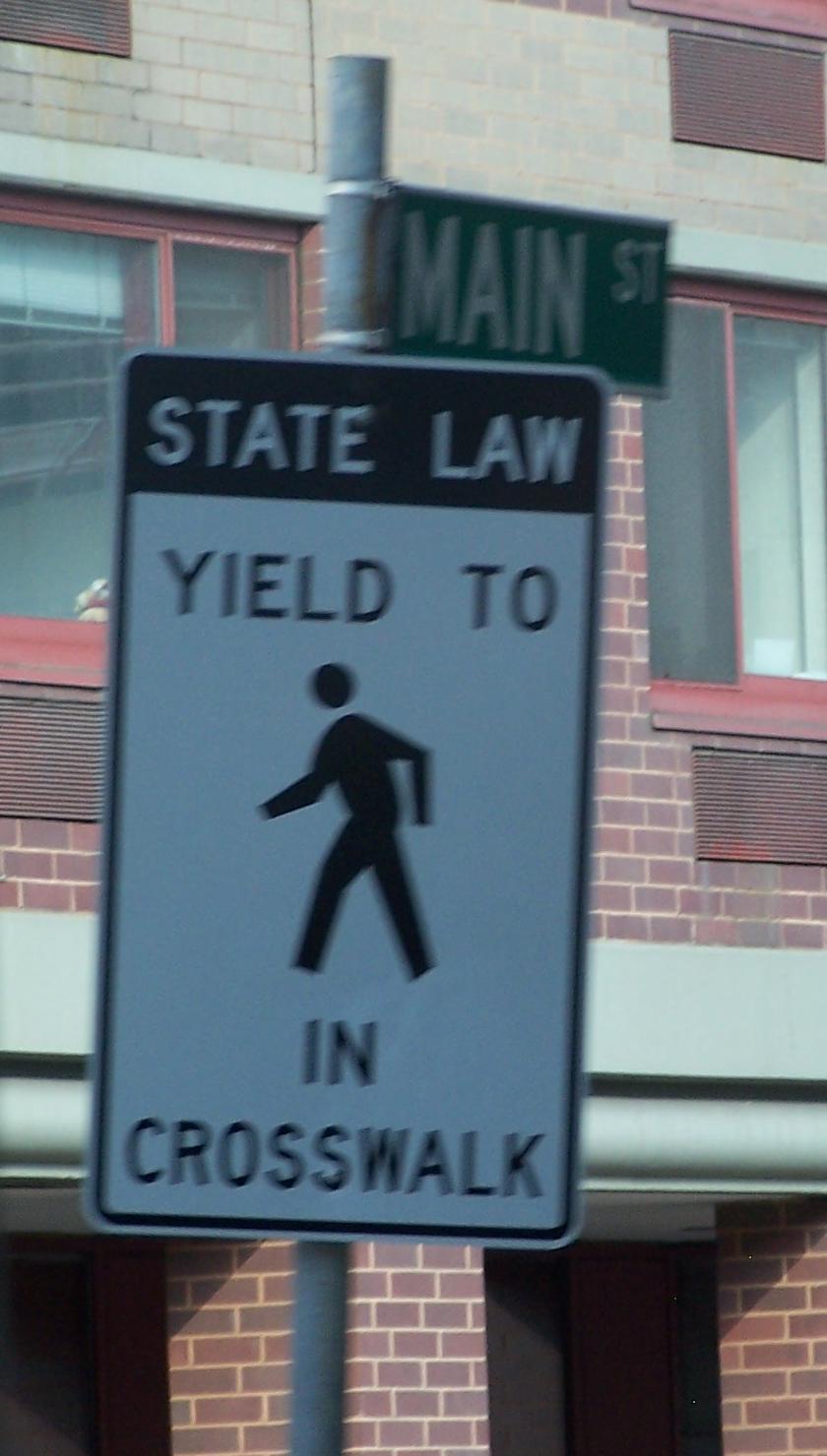
A pedestrian is a person traveling on foot, by wheelchair or with other mobility aids. Streets and roads often have a designated footpath for pedestrian traffic, called the ''sidewalk'' in North American English, the ''pavement'' in British English, and the ''footpath'' in Australian and New Zealand English. There are also footpaths not associated with thoroughfares; these include rural paths and urban short cuts. Historically, walking has been the main way people get around. In the early use of the word, ''pedestrian'' meant a "professional walker", or somebody who held a record for speed or endurance. With the advent of cars, it started to be used as an opposite: somebody who is not riding or driving. As walking is a healthy and sustainable mode of transport, there are efforts to make cities more walkable. For instance, by creating wider sidewalks, a pedestrian network, or restricting motor vehicles in city centres. Pedestrians are vulnerable and can be injured, for example ... [...More Info...] [...Related Items...] OR: [Wikipedia] [Google] [Baidu] |


