|
Taitaipenistouc Meanders Biodiversity Reserve
The Taitaipenistouc Meanders Biodiversity Reserve () is a biodiversity reserve in the Côte-Nord region of Quebec. It preserves the biodiversity of part of the watershed of the Taitaipenistouc River in the upper part of the Moisie River basin. History The government of Quebec in 2002 protected part of the watershed of the Taitaipenistouc River, banning activities such as mining, forestry and hydroelectric development. On 19 June 2003 the territory was given the legal status of proposed biodiversity reserve with the provisional name of Lake Bright-Sand Biodiversity Reserve (''Réserve de biodiversité projetée du lac Bright Sand''). However, Lake Bright Sand itself is outside the proposed reserve, along the railway to the north of Poste Montagnais. In 2005 the Bureau d’audiences publiques sur l'environnement (BAPE) was tasked with holding public consultations on the proposed Moisie River Aquatic Reserve and the proposed Lake Bright Sand, Lake Pasteur and Lake Gensart biodive ... [...More Info...] [...Related Items...] OR: [Wikipedia] [Google] [Baidu] |
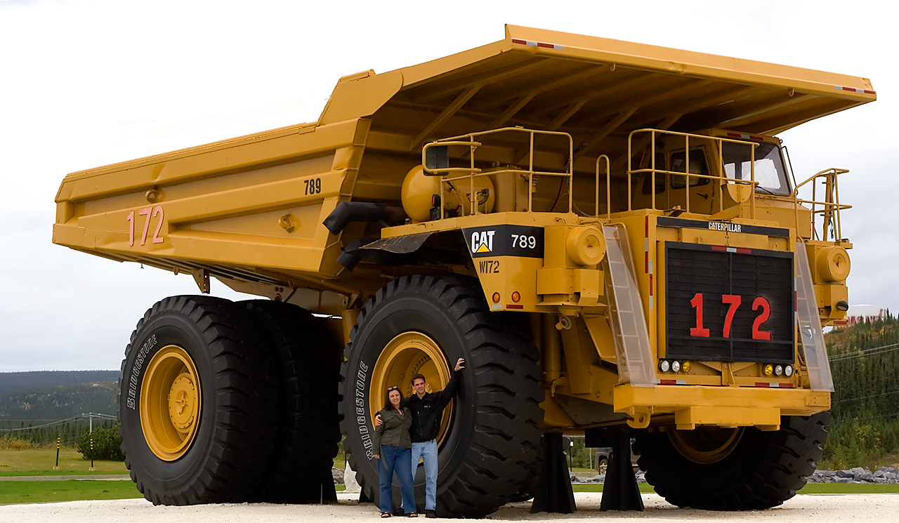
Fermont
Fermont (; ) is a mining city in Côte-Nord region, Quebec, Canada, near the Quebec-Labrador border about from Labrador City on Route 389, which connects to the Trans-Labrador Highway (Newfoundland and Labrador Route 500). It is the seat of the Regional County Municipality of Caniapiscau. The city is located about 565 km (351 mi) from Baie-Comeau, about 867 km (539 mi) from Saguenay, and about 1,000 km (621 mi) from Quebec City. Fermont (French contraction of "''Fer Mont''", meaning "Iron Mountain") was founded as a company town in the early 1970s to exploit rich iron ore deposits from Mont Wright, which is about to the west. The town is notable for the huge self-contained structure containing apartments, stores, schools, bars, a hotel, restaurants, a supermarket and swimming pool; the large building shelters a community of smaller apartment buildings and homes on its leeward side. Popularly known as The Wall (''Le Mur''), the structure was designed to be a windscree ... [...More Info...] [...Related Items...] OR: [Wikipedia] [Google] [Baidu] |
Drainage Basin
A drainage basin is an area of land in which all flowing surface water converges to a single point, such as a river mouth, or flows into another body of water, such as a lake or ocean. A basin is separated from adjacent basins by a perimeter, the drainage divide, made up of a succession of elevated features, such as ridges and hills. A basin may consist of smaller basins that merge at river confluences, forming a hierarchical pattern. Other terms for a drainage basin are catchment area, catchment basin, drainage area, river basin, water basin, and impluvium. In North America, they are commonly called a watershed, though in other English-speaking places, " watershed" is used only in its original sense, that of the drainage divide line. A drainage basin's boundaries are determined by watershed delineation, a common task in environmental engineering and science. In a closed drainage basin, or endorheic basin, rather than flowing to the ocean, water converges toward the ... [...More Info...] [...Related Items...] OR: [Wikipedia] [Google] [Baidu] |
Jack Pine
Jack pine (''Pinus banksiana''), also known as grey pine or scrub pine, is a North American pine. Distribution and habitat Its native range in Canada is east of the Rocky Mountains from the Mackenzie River in the Northwest Territories to Cape Breton Island in Nova Scotia, and the north-central and northeast of the United States The United States of America (USA), also known as the United States (U.S.) or America, is a country primarily located in North America. It is a federal republic of 50 U.S. state, states and a federal capital district, Washington, D.C. The 48 ... from Minnesota to Maine, with the southernmost part of the range just into northwest Indiana and northwest Pennsylvania. Taxonomy In the far west of its range, ''Pinus banksiana'' hybridizes readily with the closely related lodgepole pine (''Pinus contorta''). The species epithet ''banksiana'' is after the English botanist Sir Joseph Banks. Description ''Pinus banksiana'' ranges from in hei ... [...More Info...] [...Related Items...] OR: [Wikipedia] [Google] [Baidu] |
Black Spruce
''Picea mariana'', the black spruce, is a North American species of spruce tree in the pine family. It is widespread across Canada, found in all 10 provinces and all 3 territories. It is the official tree of Newfoundland and Labrador and is that province's most abundant tree. Its range extends into northern parts of the United States: in Alaska, the Great Lakes region, and the upper Northeast. It is a frequent part of the biome known as taiga or boreal forest.. The Latin specific epithet ''mariana'' means "of the Virgin Mary". Description ''P. mariana'' is a slow-growing, small upright evergreen coniferous tree (rarely a shrub), having a straight trunk with little taper, a scruffy habit, and a narrow, pointed crown of short, compact, drooping branches with upturned tips. Through much of its range it averages tall with a trunk diameter at maturity, though occasional specimens can reach tall and diameter. The bark is thin, scaly, and greyish brown. The leaves are needle-li ... [...More Info...] [...Related Items...] OR: [Wikipedia] [Google] [Baidu] |
Strahler Number
In mathematics, the Strahler number or Horton–Strahler number of a mathematical tree (graph theory), tree is a numerical measure of its branching complexity. These numbers were first developed in hydrology, as a way of measuring the complexity of rivers and streams, by and . In this application, they are referred to as the Strahler stream order and are used to define stream size based on a hierarchy of tributary, tributaries. The same numbers also arise in the analysis of L-systems and of hierarchical biological structures such as (biological) trees and animal respiratory and circulatory systems, in register allocation for compiler, compilation of high-level programming languages and in the analysis of social networks. Definition All trees in this context are directed graphs, oriented from the root towards the leaves; in other words, they are Arborescence (graph theory), arborescences. The degree (graph theory), degree of a node in a tree is just its number of children. One may ... [...More Info...] [...Related Items...] OR: [Wikipedia] [Google] [Baidu] |
Fluvioglacial Deposits
Fluvioglacial landforms or glaciofluvial landforms are those that result from the associated erosion and deposition of sediments caused by glacial meltwater. Glaciers contain suspended sediment loads, much of which is initially picked up from the underlying landmass. Landforms are shaped by glacial erosion through processes such as glacial quarrying, abrasion, and meltwater. Glacial meltwater contributes to the erosion of bedrock through both mechanical and chemical processes.Glasser, N. F. & Bennett, M. R. Glacial erosional landforms: Origins and significance for palaeoglaciology. ''Prog. Phys. Geogr.'' 28, 43–75 (2004). Fluvio-glacial processes can occur on the surface and within the glacier. The deposits that happen within the glacier are revealed after the entire glacier melts or partially retreats. Fluvio-glacial landforms and erosional surfaces include: outwash plains, kames, kame terraces, kettle holes, eskers, varves, and proglacial lakes. Meltwater streams and formed b ... [...More Info...] [...Related Items...] OR: [Wikipedia] [Google] [Baidu] |
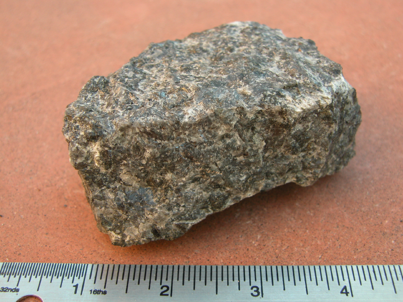
Gabbro
Gabbro ( ) is a phaneritic (coarse-grained and magnesium- and iron-rich), mafic intrusive igneous rock formed from the slow cooling magma into a holocrystalline mass deep beneath the Earth's surface. Slow-cooling, coarse-grained gabbro is chemically equivalent to rapid-cooling, fine-grained basalt. Much of the Earth's oceanic crust is made of gabbro, formed at mid-ocean ridges. Gabbro is also found as plutons associated with continental volcanism. Due to its variant nature, the term ''gabbro'' may be applied loosely to a wide range of intrusive rocks, many of which are merely "gabbroic". By rough analogy, gabbro is to basalt as granite is to rhyolite. Etymology The term "gabbro" was used in the 1760s to name a set of rock types that were found in the ophiolites of the Apennine Mountains in Italy. It was named after Gabbro, a hamlet near Rosignano Marittimo in Tuscany. Then, in 1809, the German geologist Christian Leopold von Buch used the term more restrictively in his d ... [...More Info...] [...Related Items...] OR: [Wikipedia] [Google] [Baidu] |
Diorite
Diorite ( ) is an intrusive rock, intrusive igneous rock formed by the slow cooling underground of magma (molten rock) that has a moderate content of silica and a relatively low content of alkali metals. It is Intermediate composition, intermediate in composition between low-silica (mafic) gabbro and high-silica (felsic) granite. Diorite is found in mountain-building belts (''orogens'') on the margins of continents. It has the same composition as the fine-grained volcanic rock, andesite, which is also common in orogens. Diorite has been used since prehistoric times as decorative stone. It was used by the Akkadian Empire of Sargon of Akkad for funerary sculptures, and by many later civilizations for sculptures and building stone. Description Diorite is an intrusive rock, intrusive igneous rock composed principally of the silicate minerals plagioclase feldspar (typically andesine), biotite, hornblende, and sometimes pyroxene. The chemical composition of diorite is Intermedia ... [...More Info...] [...Related Items...] OR: [Wikipedia] [Google] [Baidu] |
Mafic
A mafic mineral or rock is a silicate mineral or igneous rock rich in magnesium and iron. Most mafic minerals are dark in color, and common rock-forming mafic minerals include olivine, pyroxene, amphibole, and biotite. Common mafic rocks include basalt, diabase and gabbro. Mafic rocks often also contain calcium-rich varieties of plagioclase feldspar. Mafic materials can also be described as ferromagnesian. History The term ''mafic'' is a portmanteau of "magnesium" and "ferric" and was coined by Charles Whitman Cross, Joseph P. Iddings, Louis V. Pirsson, and Henry Stephens Washington in 1912. Cross' group had previously divided the major rock-forming minerals found in igneous rocks into ''salic'' minerals, such as quartz, feldspars, or feldspathoids, and ''femic'' minerals, such as olivine and pyroxene. However, micas and aluminium-rich amphiboles were excluded, while some calcium minerals containing little iron or magnesium, such as wollastonite or apatite, were included in t ... [...More Info...] [...Related Items...] OR: [Wikipedia] [Google] [Baidu] |
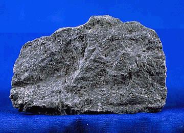
Paragneiss
Gneiss (pronounced ) is a common and widely distributed type of metamorphic rock. It is formed by high-temperature and high-pressure metamorphic processes acting on formations composed of igneous or sedimentary rocks. This rock is formed under pressures ranging from 2 to 15 kbar, sometimes even more, and temperatures over 300 °C (572 °F). Gneiss nearly always shows a banded texture characterized by alternating darker and lighter colored bands and without a distinct cleavage. Gneisses are common in the ancient crust of continental shields. Some of the oldest rocks on Earth are gneisses, such as the Acasta Gneiss. Description Orthogneiss from the Czech Republic In traditional English and North American usage, a gneiss is a coarse-grained metamorphic rock showing compositional banding (gneissic banding) but poorly developed schistosity and indistinct cleavage. In other words, it is a metamorphic rock composed of mineral grains easily seen with the unaided eye, which f ... [...More Info...] [...Related Items...] OR: [Wikipedia] [Google] [Baidu] |
Metamorphic Rock
Metamorphic rocks arise from the transformation of existing rock to new types of rock in a process called metamorphism. The original rock ( protolith) is subjected to temperatures greater than and, often, elevated pressure of or more, causing profound physical or chemical changes. During this process, the rock remains mostly in the solid state, but gradually recrystallizes to a new texture or mineral composition. The protolith may be an igneous, sedimentary, or existing metamorphic rock. Metamorphic rocks make up a large part of the Earth's crust and form 12% of the Earth's land surface. They are classified by their protolith, their chemical and mineral makeup, and their texture. They may be formed simply by being deeply buried beneath the Earth's surface, where they are subject to high temperatures and the great pressure of the rock layers above. They can also form from tectonic processes such as continental collisions, which cause horizontal pressure, friction, and dist ... [...More Info...] [...Related Items...] OR: [Wikipedia] [Google] [Baidu] |


