|
Tadiandamol
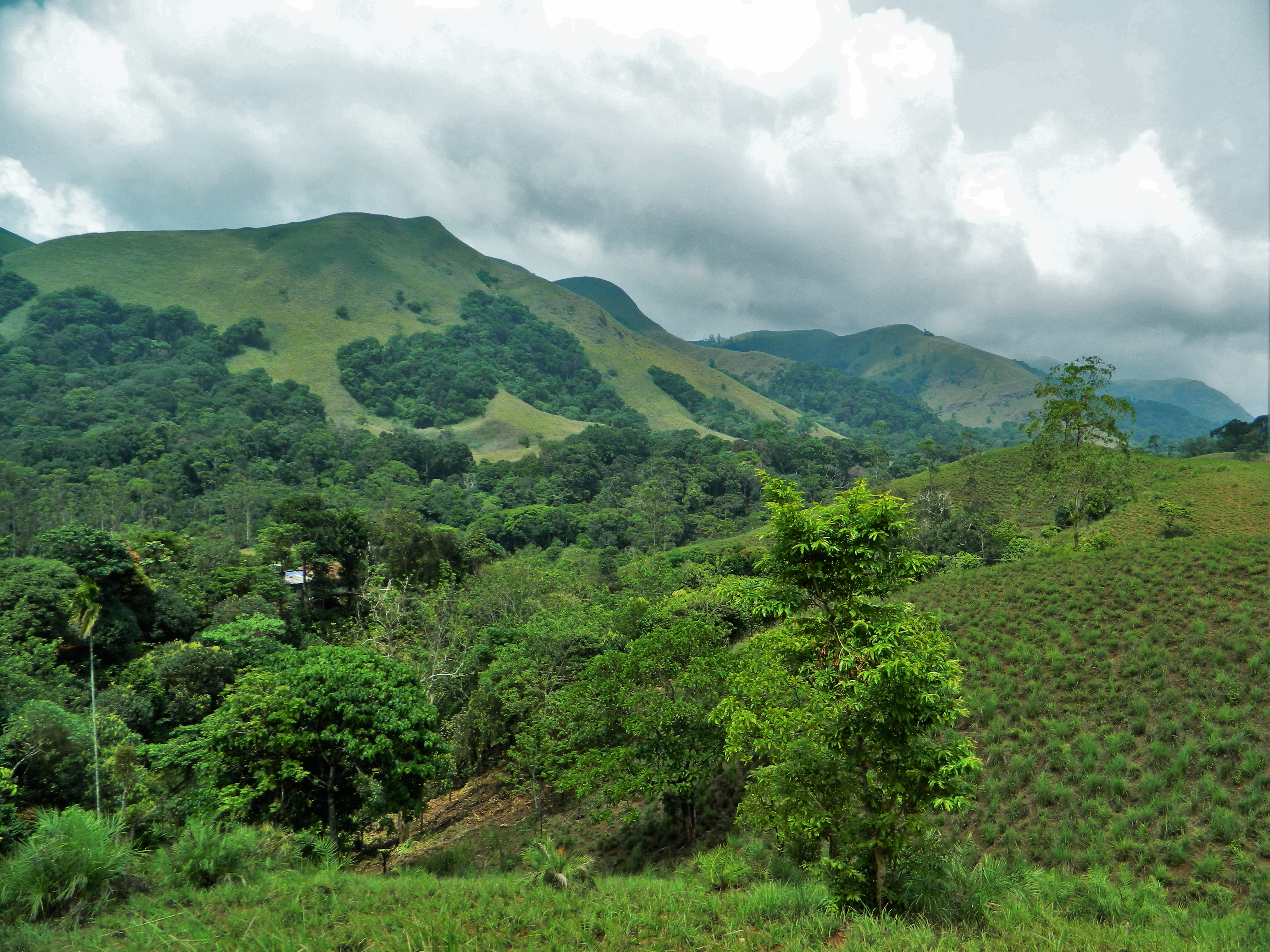
Tadiandamol or Thadiyandamol is the highest mountain of Madikeri taluk Kodagu district, Karnataka, India. It is the third highest peak in Karnataka, after Mullayyanagiri & Kudremukha. It is located Western Ghats range, and reaches an elevation of 1,748 m. The mountain has patches of shola forests in the valleys. The Nalaknad (also known as Nalnad – meaning 4 villages) palace at the foothills is an important historical landmark. This was one of the landmarks mapped during the Great Trigonometric Survey. It is a place of interest for trekkers and naturalists. The climb to the top and back can be completed as a day hike(within 5hrs) and the entry is closed at 5:00 pm; camping is banned since December 2016.The best time to visit the peak is July-end to September(after monsoon) as greenery is observed well in these months. Etymology The name Tadiandamol literally means ''largest base'' (thadi = broad, large, huge; anda = belonging to (possessive) in Kodava; mol = hill, base ... [...More Info...] [...Related Items...] OR: [Wikipedia] [Google] [Baidu] |
Kodagu District
Kodagu district () (also known by its former name Coorg) is an administrative List of districts of Karnataka, district in the Karnataka state of India. Before 1956, it was an administratively separate Coorg State at which point it was merged into an enlarged Mysore State. Geography Kodagu is located on the eastern slopes of the Western Ghats. It has a geographical area of . The district is bordered by Dakshina Kannada district to the northwest, Hassan district to the north, Mysore district to the east, Kasaragod district of Kerala in west and Kannur district of Kerala to the southwest, and Wayanad district of Kerala to the south. It is a hilly district, the lowest elevation being above sea-level near makutta. The highest peak, Tadiandamol, rises to , with Pushpagiri, Karnataka, Pushpagiri, the second highest, at . The main river in Kodagu is the Kaveri (Cauvery), which originates at Talakaveri, located on the eastern side of the Western Ghats, and with its tributaries, dr ... [...More Info...] [...Related Items...] OR: [Wikipedia] [Google] [Baidu] |
Shola
A shola is the local name for a patch of stunted Montane grasslands and shrublands, tropical montane forest found in valleys amid rolling grassland in the higher montane regions of South India, largely in Kerala, Karnataka and Tamilnadu. These patches of shola forest are found mainly in the valleys and are usually separated from one another by undulating montane grassland. The shola and grassland together form the shola-grassland complex or mosaic. Not all such high-elevation grasslands have sholas in their valleys, especially if they are isolated from other such meadows, such as the meadows found in the Idamalayar Reserve Forest in Ernakulam district of Kerala. The word 'Shola' is probably derived from the Tamil language word cōlai (சோலை) meaning Grove (nature), grove. The shola-forest and grassland complex has been described as a climatic climax vegetation with forest regeneration and expansion restricted by climatic conditions such as frost or soil characteristics w ... [...More Info...] [...Related Items...] OR: [Wikipedia] [Google] [Baidu] |
Great Trigonometric Survey
The Great Trigonometrical Survey of India was a project that aimed to carry out a wikt:Special:Search/survey, survey across the Indian subcontinent with scientific precision. It was begun in 1802 by the British infantry officer William Lambton, under the auspices of the East India Company.Gill, B. (2001); "THE BIG MAN. Surveying Sir George Everest", in: ''Professional Surveyor Magazine'', Vol. 21 Nr 2. Retrieveonline 8 March 2016. Under the leadership of his successor, George Everest, the project was made the responsibility of the Survey of India. Everest was succeeded by Andrew Scott Waugh, and after 1861, the project was led by James Walker (Surveyor General), James Walker, who oversaw its completion in 1871. Among the many accomplishments of the Survey were the demarcation of the United Kingdom of Great Britain and Ireland, British territories in the subcontinent and the measurement of the height of the Himalayan giants: Mount Everest, Everest, K2, and Kangchenjunga. The Sur ... [...More Info...] [...Related Items...] OR: [Wikipedia] [Google] [Baidu] |
Natural History
Natural history is a domain of inquiry involving organisms, including animals, fungi, and plants, in their natural environment, leaning more towards observational than experimental methods of study. A person who studies natural history is called a naturalist or natural historian. Natural history encompasses scientific research but is not limited to it. It involves the systematic study of any category of natural objects or organisms, so while it dates from studies in the ancient Greco-Roman world and the mediaeval Arabic world, through to European Renaissance naturalists working in near isolation, today's natural history is a cross-discipline umbrella of many specialty sciences; e.g., geobiology has a strong multidisciplinary nature. Definitions Before 1900 The meaning of the English term "natural history" (a calque of the Latin ''historia naturalis'') has narrowed progressively with time, while, by contrast, the meaning of the related term "nature" has widened (see also ... [...More Info...] [...Related Items...] OR: [Wikipedia] [Google] [Baidu] |
Mountains Of Karnataka
A mountain is an elevated portion of the Earth's crust, generally with steep sides that show significant exposed bedrock. Although definitions vary, a mountain may differ from a plateau in having a limited summit area, and is usually higher than a hill, typically rising at least above the surrounding land. A few mountains are inselberg, isolated summits, but most occur in mountain ranges. mountain formation, Mountains are formed through tectonic plate, tectonic forces, erosion, or volcanism, which act on time scales of up to tens of millions of years. Once mountain building ceases, mountains are slowly leveled through the action of weathering, through Slump (geology), slumping and other forms of mass wasting, as well as through erosion by rivers and glaciers. High elevations on mountains produce Alpine climate, colder climates than at sea level at similar latitude. These colder climates strongly affect the Montane ecosystems, ecosystems of mountains: different elevations hav ... [...More Info...] [...Related Items...] OR: [Wikipedia] [Google] [Baidu] |
Bhagamandala
Bhagamandala is a pilgrimage place in Kodagu district of the Indian state of Karnataka. Location Bhagamandala is situated on the river Kaveri in its upstream stretches. At this place, the Kaveri is joined by two tributaries, the Kannike and the mythical Sujyothi river. It is considered sacred as a river confluence (' or ', in Kannada and Sanskrit respectively). Bhagamandala is located 133 km south-east of Mangalore. It has an average elevation of . Pilgrim centre – Bhagandeshwara Temple It is a common practice for pilgrims to take a dip in the and perform rituals to their ancestors before proceeding to Talakaveri, the birthplace of Kaveri. A temple of Lord Supremo Shiva in the name of Bhagandeshwara embellishes the place. It is the local belief that Kaveri, revered as Dakshina Ganga, comes out of the matted hair locks of Shiva here. During Tula Sankramana which falls on 17 or 18 October, pilgrims assemble here in large numbers. Three river meet A short distance fro ... [...More Info...] [...Related Items...] OR: [Wikipedia] [Google] [Baidu] |
Mangalore
Mangaluru (), formerly called Mangalore ( ), is a major industrial port city in the Indian state of Karnataka and on the west coast of India. It is located between the Laccadive Sea and the Western Ghats about west of Bengaluru, the state capital, north of Karnataka–Kerala border and south of Goa. Mangaluru is the state's only city to have all four modes of transport—air, road, rail and sea. The population of the urban agglomeration was 619,664 national census of India. It is known for being one of the locations of the Indian strategic petroleum reserves. The city developed as a port in the Laccadive Sea during ancient times, and after Independence a new port was constructed in 1968 and has since become a major port of India that handles 75 percent of India's coffee and cashew exports. It is also the country's seventh largest container port. Mangaluru has been ruled by several major powers, including the Mauryan empire, Kadambas, Alupas, Vij ... [...More Info...] [...Related Items...] OR: [Wikipedia] [Google] [Baidu] |
Virajpet
The town of Virajpet also spelled as Virajapete () is township of the district of Kodagu, in India's southern States and union territories of India, State of Karnataka. It is the main town of the ''Virajpet taluka'', south of the district, and borders Kerala State. The name of the town is derived from its founder, Dodda Vira Rajendra. History The name Virajpet is a shorter version of its previous name Virarajendrapet, named after the Kingdom of Coorg, Haleri King Dodda Vira Rajendra, who founded the town in 1792. He founded the town to commemorate his meeting with General (United Kingdom), General Robert Abercromby of Airthrey, Robert Abercromby, his ally against Tipu Sultan, the ruler of the Kingdom of Mysore, in 1791. Virajpet was the headquarters of Yedenalknad taluk. The first population comprised people who Vira Rajendra had in his predatory excursions swept away from Mysore. But, the people that fled to Virajpet were principally the inhabitants of Periyapatna, who were look ... [...More Info...] [...Related Items...] OR: [Wikipedia] [Google] [Baidu] |
Kodava Language
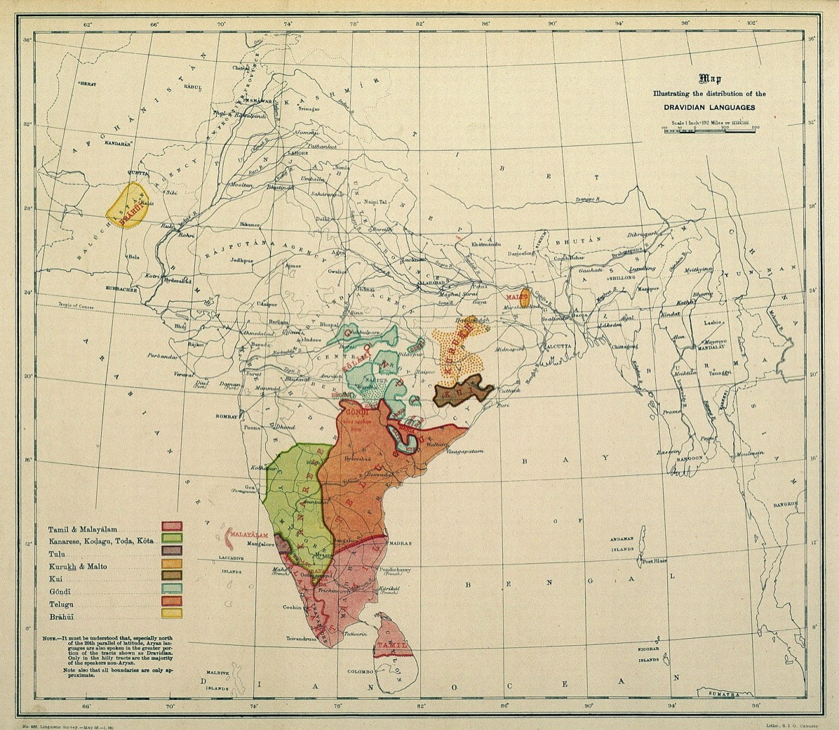
The Kodava (, natively: ''Koḍava takkï'', , meaning 'speech of Kodavas', Angloid name: Codava, Coorgi) is a Dravidian language spoken in Kodagu district (Coorg) in Southern Karnataka, India. It is an endangered language. The term Kodava has two related usages. Firstly, it is the name of the Kodava language and culture followed by a number of communities from Kodagu. Secondly, within the Kodava-speaking communities and region (Kodagu), it is a demonym for the dominant Kodava people. Hence, the Kodava language is not only the primary language of the Kodavas but also of many other castes and tribes in Kodagu. The language has two dialects: Mendele (spoken in Northern and Central Kodagu, i.e. outside Kodagu's Kiggat naadu) and Kiggat (spoken in Kiggat naadu, in Southern Kodagu). Historically, it has been associated to Old Canarese or Hale Kannada However, it has been re-analysed as a language by early 20th century academics. Now it is considered as an intermediate language ... [...More Info...] [...Related Items...] OR: [Wikipedia] [Google] [Baidu] |
Nalnad Palace
Nalknad Palace or Nalkunadu (), called ''Naalnaad Aramane'' in the local Kodava language, is a palace located in the Kodagu district of the States of India, Indian state of Karnataka. It is located near a village named Yavakapadi and was built between the years 1792 and 1794 AD. This palace was the last refuge of the last of the Haleri Kingdom, Haleri kings of Kodagu, Chikka Veerarajendra before he was deposed by the British. The Kannada film Shanti (film), Shanti, which has only a single actor, was shot in the surroundings of the palace. History After the death of the Kodagu king, Lingaraja I in 1780 AD, Hyder Ali took control of Kodagu under the pretext of being a guardian to Lingaraja's three sons, Dodda Vira Rajendra, Linga Rajendra and Appanna, who were of tender age.B. N. Sri Sathyan (1965), p65 The princes were sent to reside in a fort at Gorur in Hassan district, and a garrison was stationed at Mercara (capital of Kodagu). A minister, Amaldar Subbarasaya, who was forme ... [...More Info...] [...Related Items...] OR: [Wikipedia] [Google] [Baidu] |


