|
Tacuate People
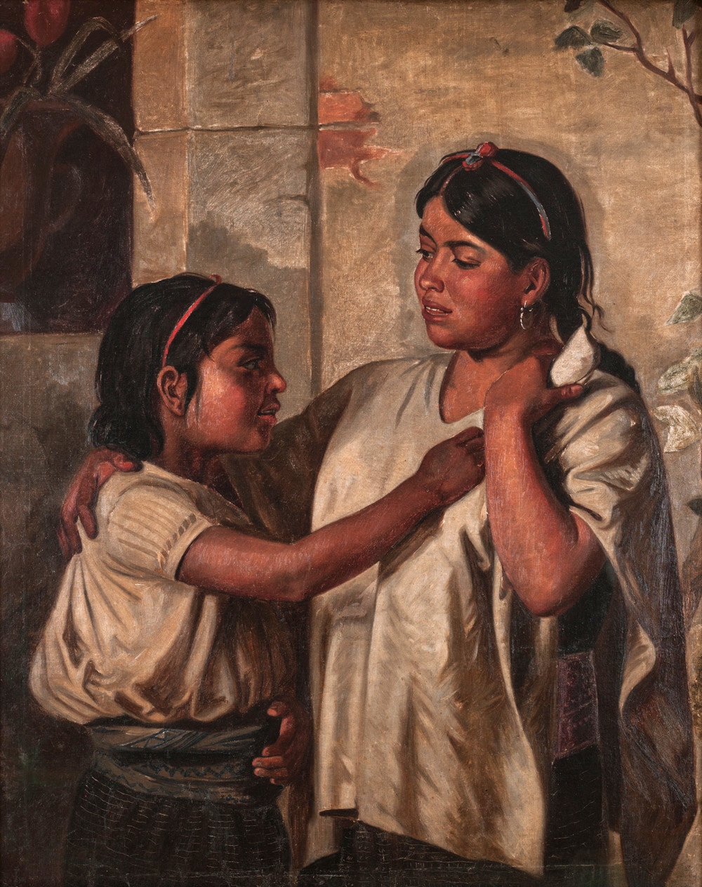
The Tacuate are an indigenous people of Mexico who live in the state of Oaxaca. The Tacuate language is one of the Mixtec languages; in 2010, there were 1,500 speakers. Most of the people are engaged in subsistence agriculture, with some keeping cattle and goats, and with women producing textile crafts for a source of cash. Land tenure is usually communal. The Tacuate live in two municipalities in the Mixteca de la Costa area: Santa María Zacatepec in the Putla district and Santiago Ixtayutla Santiago Ixtayutla is a town and municipality in Oaxaca in south-western Mexico. It is located in the Jamiltepec District in the west of the Costa Region. As of 2010, the municipality had a total population of 11,917. References {{Jamilt ... in the Jamiltepec district. See also * Indigenous people of Oaxaca References {{Indigenous people of Oaxaca Indigenous peoples in Mexico Oaxaca ... [...More Info...] [...Related Items...] OR: [Wikipedia] [Google] [Baidu] |
Indigenous People Of Mexico
Indigenous peoples of Mexico ( es, gente indígena de México, pueblos indígenas de México), Native Mexicans ( es, nativos mexicanos) or Mexican Native Americans ( es, pueblos originarios de México, lit=Original peoples of Mexico), are those who are part of communities that trace their roots back to populations and communities that existed in what is now Mexico before the arrival of the Spanish. The number of indigenous Mexicans is defined through the second article of the Constitution of Mexico, Mexican Constitution. The Censo General de Población y Vivienda, Mexican census does not classify individuals by race, using the Culture, cultural-Ethnic group, ethnicity of indigenous communities that preserve their Indigenous language, indigenous languages, traditions, beliefs, and cultures. According to the National Indigenous Institute (INI) and the National Institute of Indigenous Peoples (CDI), in 2012 the indigenous population was approximately 15 million people, divided into ... [...More Info...] [...Related Items...] OR: [Wikipedia] [Google] [Baidu] |
Oaxaca
) , population_note = , population_rank = 10th , timezone1 = CST , utc_offset1 = −6 , timezone1_DST = CDT , utc_offset1_DST = −5 , postal_code_type = Postal code , postal_code = 68–71 , area_code_type = Area code , area_code = , iso_code = MX-OAX , blank_name_sec1 = HDI , blank_info_sec1 = 0.710 Ranked 31st of 32 , blank_name_sec2 = GDP , blank_info_sec2 = US$ 18.18 billion (2020) Ranked 20th of 32 , website = Oaxaca ( , also , , from nci, Huāxyacac ), officially the Free and Sovereign State of Oaxaca ( es, Estado Libre y Soberano de Oaxaca), is one of the 32 states that compose the Federative Entities of Mexico. It is divided into 570 municipalities, of which 418 (almost three quarters) are governed by the system of (customs and traditions) with recognized local ... [...More Info...] [...Related Items...] OR: [Wikipedia] [Google] [Baidu] |
Tacuate Language
Zacatepec Mixtec, or Tacuate, is a Mixtec language of Oaxaca. It is spoken in the town of Santa María Zacatepec and other towns in Oaxaca, Mexico. It has 64% intelligibility of Ixtayutla Mixtec, 63% of Pinotepa Mixtec Pinotepa Mixtec is a Mixtec language of southern Oaxaca. ''Ethnologue'' lists the variety of San Juan Colorado / San Pedro Atoyac as a separate language. Pinotepa Mixtec is spoken in a large number of towns: Pinotepa de Don Luis, San Antonio Tep ..., 40%–50% of Metlatónoc xv 25%–30% of Yoloxóchitl Mixtec. References External links * *"This popular grammar of the Tacuate (Mixtec) language uses relatively non-technical terminology to describe the variety of Tacuate that is spoken in the town of Santa María Zacatepec, district of Putla, Oaxaca, Mexico. Topics covered include the parts of speech. The descriptions are illustrated by analyzed phrases and sentences. In addition, one chapter contains two analyzed texts. Also included is a bibliography." ... [...More Info...] [...Related Items...] OR: [Wikipedia] [Google] [Baidu] |
Mixtec Languages
The Mixtec () languages belong to the Mixtecan group of the Oto-Manguean language family. Mixtec is spoken in Mexico and is closely related to Trique and Cuicatec. The varieties of Mixtec are spoken by over half a million people.2000 census; the numbers are based on the number of the total population for each group and the percentages of speakers given on the website of the Comisión Nacional para el Desarrollo de los Pueblos Indígenas, http://www.cdi.gob.mx/index.php?id_seccion=660, accessed 28 July 2008). Identifying how many Mixtec languages there are in this complex dialect continuum poses challenges at the level of linguistic theory. Depending on the criteria for distinguishing dialects from languages, there may be as few as a dozen or as many as fifty-three Mixtec languages. Language name The name "Mixteco" is a Nahuatl exonym, from ''mixtecatl'', from ''mixtli'' ("cloud") + ''-catl'' ("inhabitant of place of"). Speakers of Mixtec use an expression (which varies by ... [...More Info...] [...Related Items...] OR: [Wikipedia] [Google] [Baidu] |
Subsistence Agriculture
Subsistence agriculture occurs when farmers grow food crops to meet the needs of themselves and their families on smallholdings. Subsistence agriculturalists target farm output for survival and for mostly local requirements, with little or no surplus. Planting decisions occur principally with an eye toward what the family will need during the coming year, and only secondarily toward market prices. Tony Waters, a professor of sociology, defines "subsistence peasants" as "people who grow what they eat, build their own houses, and live without regularly making purchases in the marketplace." Despite the self-sufficiency in subsistence farming, most subsistence farmers also participate in trade to some degree. Although their amount of trade as measured in cash is less than that of consumers in countries with modern complex markets, they use these markets mainly to obtain goods, not to generate income for food; these goods are typically not necessary for survival and may include sug ... [...More Info...] [...Related Items...] OR: [Wikipedia] [Google] [Baidu] |
Land Tenure
In common law systems, land tenure, from the French verb "tenir" means "to hold", is the legal regime in which land owned by an individual is possessed by someone else who is said to "hold" the land, based on an agreement between both individuals. It determines who can use land, for how long and under what conditions. Tenure may be based both on official laws and policies, and on informal local customs (insofar higher law does allow that). In other words, land tenure implies a system according to which land is held by an individual or the actual tiller of the land but this person does not have legal ownership. It determines the holder's rights and responsibilities in connection with their holding. The sovereign monarch, known in England as The Crown, held land in its own right. All land holders are either its tenants or sub-tenants. ''Tenure'' signifies a legal relationship between tenant and lord, arranging the duties and rights of tenant and lord in relationship to the land. ... [...More Info...] [...Related Items...] OR: [Wikipedia] [Google] [Baidu] |
Mixteca De La Costa
La Mixteca is a cultural, economic and political region in Western Oaxaca and neighboring portions of Puebla, Guerrero in south-central Mexico, which refers to the home of the Mixtec people. In their languages, the region is called either Ñuu Djau, Ñuu Davi or Ñuu Savi. Two-thirds of all Mixtecs live in the region, and the entire national population of Mixtecs in Mexico was 500,000 in 1999. The region covers some 40,000 km² where two of the country's mountain ranges, the Neo-Volcanic Belt and Sierra Madre del Sur, converge. Geography La Mixteca is a country of great contrasts. The Sierra Madre del Sur and the Neo-Volcanic Belt mark its northern limits. To the east, it is defined by the Cuicatlán Valley and the Central Valleys of Oaxaca. To the west, the Mixteca region is adjacent to the valleys of Morelos and the central portion of Guerrero. To the south lies 200 miles of Pacific Ocean coastline. Because of the presence of the major mountains of the Sierra Mixte ... [...More Info...] [...Related Items...] OR: [Wikipedia] [Google] [Baidu] |
Santa María Zacatepec
Santa María Zacatepec is a town and municipality in Oaxaca in south-western Mexico Mexico (Spanish: México), officially the United Mexican States, is a country in the southern portion of North America. It is bordered to the north by the United States; to the south and west by the Pacific Ocean; to the southeast by Guatema .... The municipality covers an area of km². It is part of Putla District in the west of the Sierra Sur Region. As of 2020, the municipality had a total population of 5,961. References Municipalities of Oaxaca {{Oaxaca-geo-stub ... [...More Info...] [...Related Items...] OR: [Wikipedia] [Google] [Baidu] |
Putla District, Oaxaca
Putla District is located in the west of the Sierra Sur Region of the State of Oaxaca, Mexico. Municipalities The district includes the following municipalities: * Constancia del Rosario *La Reforma, Oaxaca *Mesones Hidalgo *Putla Villa de Guerrero * San Andrés Cabecera Nueva * San Pedro Amuzgos * Santa Cruz Itundujia *Santa Lucía Monteverde *Santa María Ipalapa *Santa María Zacatepec Santa María Zacatepec is a town and municipality in Oaxaca in south-western Mexico Mexico (Spanish: México), officially the United Mexican States, is a country in the southern portion of North America. It is bordered to the north by th ... * Santa Cruz Rio Venado References Districts of Oaxaca Sierra Sur de Oaxaca {{Oaxaca-geo-stub ... [...More Info...] [...Related Items...] OR: [Wikipedia] [Google] [Baidu] |
Santiago Ixtayutla
Santiago Ixtayutla is a town and municipality in Oaxaca in south-western Mexico. It is located in the Jamiltepec District in the west of the Costa Region. As of 2010, the municipality had a total population of 11,917. References {{Jamiltepec District Municipalities of Oaxaca ... [...More Info...] [...Related Items...] OR: [Wikipedia] [Google] [Baidu] |
Jamiltepec District, Oaxaca
Jamiltepec District is located in the west of the Costa Region of the State of Oaxaca, Mexico. Municipalities The district includes the following municipalities: *Mártires de Tacubaya * Pinotepa de Don Luis * Pinotepa Nacional *San Agustín Chayuco *San Andrés Huaxpaltepec *San Antonio Tepetlapa *San José Estancia Grande *San Juan Bautista lo de Soto *San Juan Cacahuatepec * San Juan Colorado * San Lorenzo, Oaxaca * San Miguel Tlacamama * San Pedro Atoyac *San Pedro Jicayán *San Sebastián Ixcapa * Santa Catarina Mechoacán *Santa María Cortijo *Santa María Huazolotitlán *Santiago Ixtayutla *Santiago Jamiltepec * Santiago Llano Grande * Santiago Tapextla * Santiago Tetepec * Santo Domingo Armenta File:Pinotepa Nacional.jpg, Pinotepa Nacional File:San Juan Cacahuatepec.JPG, San Juan Cacahuatepec San Juan Cacahuatepec is a city in the Mexican state of Oaxaca, near the border with Guerrero. It is located in the Jamiltepec District in the west of the Costa Region. Its p ... [...More Info...] [...Related Items...] OR: [Wikipedia] [Google] [Baidu] |


