|
Sätra
Sätra is a suburb in the district in Söderort in Stockholm, Sweden. Location The district is bounded on the north by Lake Mälaren and on the south by Södertalje Road, a section of European route E4 and European route E20. Sätra borders the districts of Bredäng and Skärholmen, as well as Segeltorp in Huddinge municipality and Kungshatt in Ekerö municipality. History The City of Stockholm bought the land in 1934 A.D. A new general plan for Sätra was drawn up the day after. Construction began in 1964 and four years later the entire district was almost completed. Together Sätra metro station and Sätra Centrum form the hub. Just South of the Sätra industrial buildings. Sätra metro station is on the Red Line (''Röda Linjen'') of Stockholm metro. The station was opened in 1965 as the southwest terminus of the extension from Örnsberg. In 1967, the line was extended to Skärholmen. References City districts of Stockholm Municipality {{Stockholm-geo-s ... [...More Info...] [...Related Items...] OR: [Wikipedia] [Google] [Baidu] |
Sätra Metro Station
Sätra metro station is a station on the red line of Stockholm metro, located in the district of Sätra Sätra is a suburb in the district in Söderort in Stockholm, Sweden. Location The district is bounded on the north by Lake Mälaren and on the south by Södertalje Road, a section of European route E4 and European route E20. Sätra borders .... The station was opened on 16 May 1965 as the southwest terminus of the extension from Örnsberg. On 1 March 1967, the line was extended to Skärholmen. The distance to Slussen is . References Red line (Stockholm metro) stations Railway stations in Sweden opened in 1965 1960s establishments in Stockholm {{Stockholm-metro-stub ... [...More Info...] [...Related Items...] OR: [Wikipedia] [Google] [Baidu] |
Söderort
Söderort (literally "the southern place", sometimes translated to ''South Stockholm'') is the southern suburban part of the Stockholm Municipality, Sweden. It is also part of the city of Stockholm. Geography Söderort is located in the northern part of the Södertörn peninsula/island. The boroughs of Söderort are: Enskede-Årsta-Vantör, Farsta, Hägersten-Liljeholmen, Skärholmen, Skarpnäck and Älvsjö. History The main part of Söderort was annexed by the ''City of Stockholm'' in 1913. Before 2007, it was organized into eight ''stadsdelsområden'': Enskede-Årsta, Farsta, Hägersten, Liljeholmen, Skarpnäck, Skärholmen, Vantör and Älvsjö. Since 2007, Söderort is organized into six ''stadsdelsområden'' (sometimes translated to boroughs): Enskede-Årsta-Vantör Enskede-Årsta-Vantör (listen ) is a Boroughs of Stockholm, borough (''stadsdelsområde'') in Söderort, the southern part of Stockholm, Sweden. Overview Årsta was under control of th ... [...More Info...] [...Related Items...] OR: [Wikipedia] [Google] [Baidu] |
European Route E4
European route E4 passes from north to south through Sweden from the border with Finland, with a total length of . The Finnish part lies entirely within Tornio in northern Finland, and is only long. The Swedish part traverses most of Sweden except the extreme north and the west coast region, and is commonly considered the highway backbone of Sweden, since it passes in the vicinity of many of its largest cities and through the capital Stockholm. In particular, it is the mainline road used by most vehicle traffic, both cars and lorries, between the north ( Norrland) and south of Sweden or beyond. From Haparanda on the Finnish border, it stretches south along the Gulf of Bothnia to Gävle, then on a more inland route southwards. It ends in Helsingborg in Sweden, at the port for the ferry to Helsingør in Denmark. The route intersects with European route E6 just outside Helsingborg, which continues to Trelleborg on the southern coast of Sweden. History and naming The Inte ... [...More Info...] [...Related Items...] OR: [Wikipedia] [Google] [Baidu] |
Skärholmen
Skärholmen is a suburban area in the district of Söderort in south-western Stockholm, Sweden. Together with Bredäng, Sätra and Vårberg, it forms the borough of Skärholmen. The community primarily consisting of ''Million Programme'' style apartment buildings from the 1960s and early 1970s. It is one of the larger and more well known suburbs of Stockholm. Skärholmen Centrum (also known as SKHLM), one of the biggest shopping centres in Sweden Sweden, formally the Kingdom of Sweden, is a Nordic countries, Nordic country located on the Scandinavian Peninsula in Northern Europe. It borders Norway to the west and north, and Finland to the east. At , Sweden is the largest Nordic count ... is situated in Skärholmen. Metro station The Skärholmen metro station was opened in 1967. The station is on the Red line (''Tunnelbana 2'') of the Stockholm metro. Sports The following sports clubs are located in Skärholmen: * IFK Stockholm References City di ... [...More Info...] [...Related Items...] OR: [Wikipedia] [Google] [Baidu] |
Stockholm Subway Sätra 20060913 002
Stockholm (; ) is the capital and most populous city of Sweden, as well as the largest urban area in the Nordic countries. Approximately 1 million people live in the municipality, with 1.6 million in the urban area, and 2.5 million in the metropolitan area. The city stretches across fourteen islands where Lake Mälaren flows into the Baltic Sea. Outside the city to the east, and along the coast, is the island chain of the Stockholm archipelago. The area has been settled since the Stone Age, in the 6th millennium BC, and was founded as a city in 1252 by Swedish statesman Birger Jarl. The city serves as the county seat of Stockholm County. Stockholm is the cultural, media, political, and economic centre of Sweden. The Stockholm region alone accounts for over a third of the country's GDP, and is among the top 10 regions in Europe by GDP per capita. Considered a global city, it is the largest in Scandinavia and the main centre for corporate headquarters in the Nordi ... [...More Info...] [...Related Items...] OR: [Wikipedia] [Google] [Baidu] |
Stockholm, Sweden
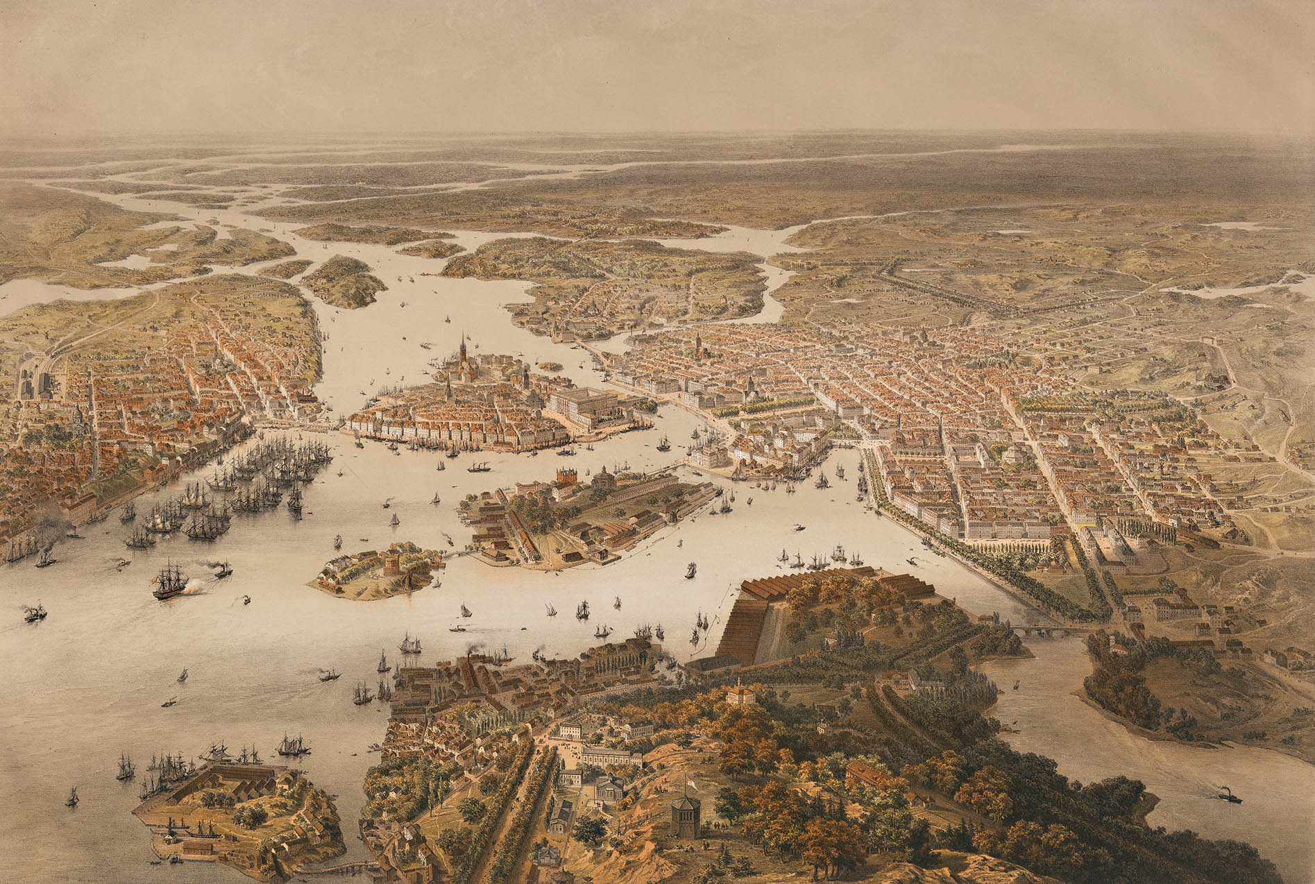
Stockholm (; ) is the Capital city, capital and List of urban areas in Sweden by population, most populous city of Sweden, as well as the List of urban areas in the Nordic countries, largest urban area in the Nordic countries. Approximately 1 million people live in the Stockholm Municipality, municipality, with 1.6 million in the Stockholm urban area, urban area, and 2.5 million in the Metropolitan Stockholm, metropolitan area. The city stretches across fourteen islands where Mälaren, Lake Mälaren flows into the Baltic Sea. Outside the city to the east, and along the coast, is the island chain of the Stockholm archipelago. The area has been settled since the Stone Age, in the 6th millennium BC, and was founded as a city in 1252 by Swedish statesman Birger Jarl. The city serves as the county seat of Stockholm County. Stockholm is the cultural, media, political, and economic centre of Sweden. The Stockholm region alone accounts for over a third of the country's Gros ... [...More Info...] [...Related Items...] OR: [Wikipedia] [Google] [Baidu] |
Lake Mälaren
A lake is often a naturally occurring, relatively large and fixed body of water on or near the Earth's surface. It is localized in a basin or interconnected basins surrounded by dry land. Lakes lie completely on land and are separate from the ocean, although they may be connected with the ocean by rivers. Lakes, as with other bodies of water, are part of the water cycle, the processes by which water moves around the Earth. Most lakes are fresh water and account for almost all the world's surface freshwater, but some are salt lakes with salinities even higher than that of seawater. Lakes vary significantly in surface area and volume of water. Lakes are typically larger and deeper than ponds, which are also water-filled basins on land, although there are no official definitions or scientific criteria distinguishing the two. Lakes are also distinct from lagoons, which are generally shallow tidal pools dammed by sandbars or other material at coastal regions of oceans or larg ... [...More Info...] [...Related Items...] OR: [Wikipedia] [Google] [Baidu] |
European Route E20
European route E20 is a part of the United Nations International E-road network. It runs roughly west–east through Ireland, the United Kingdom, Denmark, Sweden, Estonia, and Russia. Its length is but it is not continuous; at three points, a sea crossing is required. Roll-on/roll-off ferries make the crossings between Dublin and Liverpool as well as between Stockholm and Tallinn. No publicly accessible ferries traverse the North Sea from Kingston-upon-Hull to Esbjerg (as of 2019), but a ferry for commercial drivers runs between Immingham and Esbjerg on most days. Route Ireland The initial section of the E20 from Shannon Airport to Dublin via Limerick is approximately 228 km long and is only partially signed, along the M7/N7. The section from Shannon Airport to east of Limerick is mainly dual carriageway, with a short section of motorway as part of the Limerick Southern Ring Road. The Shannon Tunnel, opened on 16 July 2010, completed the bypass of Limerick. The ... [...More Info...] [...Related Items...] OR: [Wikipedia] [Google] [Baidu] |
Bredäng
Bredäng is a district of Söderort, Stockholm, Sweden. In the southwest section of the city, it is a part of the Skärholmen borough and is named after a former farm in the area. Bredäng has an 18th-century mansion (''Jakobsbergs gård'') named after its first owner, Jacob Graver. Bredäng consists predominantly of 1960s apartment blocks and has a camping site by the lake Mälaren Mälaren ( , , or ), historically referred to as Lake Malar in English, is the third-largest freshwater lake in Sweden (after Vänern and Vättern). Its area is and its greatest depth is 64 m (210 ft). Mälaren spans from east to west. The l .... The population of Bredäng is 9,266. 60.4% of the population had a foreign background. See also * Bredäng metro station City districts of Stockholm Municipality {{Stockholm-geo-stub ... [...More Info...] [...Related Items...] OR: [Wikipedia] [Google] [Baidu] |
Huddinge
Huddinge Municipality () is a municipalities of Sweden, municipality in Stockholm County, east central Sweden. Its seat is located in Huddinge (), which is a part of Stockholm urban area. The municipality is, with its approximately 110,000 inhabitants, the second most populated in Stockholm County. Geography The municipality covers the entire central part of the Södertörn peninsula. More than half of the land area consists of agriculture, forests, hills, or lakes, and it contains 13 nature reserves. Huddinge borders the following municipalities: Stockholm Municipality, Ekerö Municipality (by water), Botkyrka Municipality, Haninge Municipality and Tyresö Municipality (by water). Localities *Stockholm urban area (part of) 86,802 inh. *Vidja 633 inh. *Rural areas 2,465 inh. Subdivisions Huddinge municipality is sub-divided into six districts: * Flemingsberg (pop. 14,924) * Segeltorp (pop. 11,870) * Sjödalen-Fullersta (pop. 22,304) * Skogås (pop. 13,783) * Stuvsta-Snättring ... [...More Info...] [...Related Items...] OR: [Wikipedia] [Google] [Baidu] |
Kungshatt
Kungshatt () is a small island in Lake Mälaren, Stockholm, Sweden Sweden, formally the Kingdom of Sweden, is a Nordic countries, Nordic country located on the Scandinavian Peninsula in Northern Europe. It borders Norway to the west and north, and Finland to the east. At , Sweden is the largest Nordic count .... Roughly 1.9 square kilometers in area, it has a very small year-round population, and a number of summer houses. The island has an independent water supply, but receives its electricity from the mainland. The island is named after the copper hat put in place on top of a cliff facing towards Vårberg. According to legend, a Swedish king jumped off the cliff while fleeing from his enemies, dropping his hat in the process. References Islands of Mälaren Ekerö Municipality {{Stockholm-geo-stub ... [...More Info...] [...Related Items...] OR: [Wikipedia] [Google] [Baidu] |


