|
Szlichtyngowa
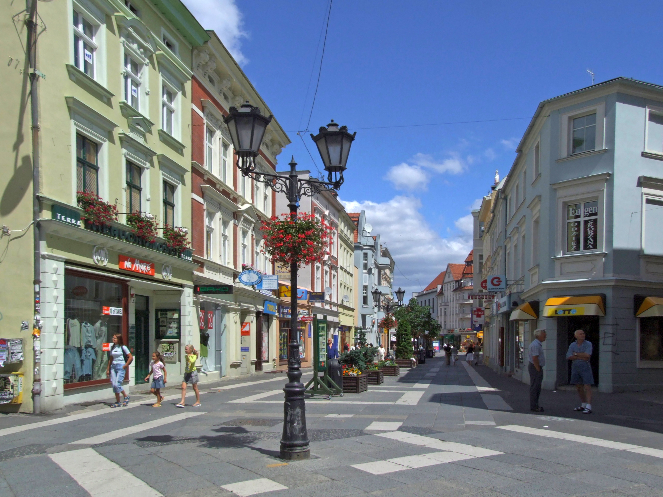
Szlichtyngowa (German: ''Schlichtingsheim'') is a town in western Poland, in the Wschowa County of the Lubuskie Voivodship, near the Oder river. The population as of 2019 was 1,278. History The town was founded in 1644 by a Polish Protestant activist and Sejm deputy Jan Jerzy Szlichtyng (german: Johann Georg von Schlichting) and was named after him ''Szlichtyngowa/Schlichtingsheim''. From 1634 he bought lands in the vicinity of the village of Górczyna in Greater Poland near the border with Silesia, with the intention of establishing a town for religious refugees from Silesia during the Thirty Years' War.''Słownik geograficzny Królestwa Polskiego i innych krajów słowiańskich'', Tom XI, Warsaw, 1890, p. 959 (in Polish) It obtained town rights from the Polish King Władysław IV Vasa, by virtue of a privilege issued in Kraków in July 1644. After the Second Partition of Poland in 1793 it was annexed by Prussia. It was regained by Poles in 1807 to be included in the short-li ... [...More Info...] [...Related Items...] OR: [Wikipedia] [Google] [Baidu] |
Gmina Szlichtyngowa
__NOTOC__ Gmina Szlichtyngowa is an urban-rural gmina (administrative district) in Wschowa County, Lubusz Voivodeship, in western Poland. Its seat is the town of Szlichtyngowa, which lies approximately south of Wschowa and south-east of Zielona Góra. The gmina covers an area of , and as of 2019 its total population is 5,053. Villages Apart from the town of Szlichtyngowa, Gmina Szlichtyngowa contains the villages and settlements of Dryżyna, Gola, Górczyna, Jędrzychowice, Kowalewo, Małe Drzewce, Nowe Drzewce, Puszcza, Stare Drzewce, Wyszanów and Zamysłów. Neighbouring gminas Gmina Szlichtyngowa is bordered by the gminas of Głogów, Kotla, Niechlów, Pęcław, Sława and Wschowa. References {{Wschowa County Szlichtyngowa Szlichtyngowa (German: ''Schlichtingsheim'') is a town in western Poland, in the Wschowa County of the Lubuskie Voivodship, near the Oder river. The population as of 2019 was 1,278. History The town was founded in 1644 by a Polish ... [...More Info...] [...Related Items...] OR: [Wikipedia] [Google] [Baidu] |
Wschowa County
__NOTOC__ Wschowa County ( pl, powiat wschowski) is a unit of territorial administration and local government ( powiat) in Lubusz Voivodeship, western Poland. It was created in 2002 out of three gminas which previously belonged to Nowa Sól County. Its administrative seat and largest town is Wschowa, which lies east of Zielona Góra and south-east of Gorzów Wielkopolski. The county also contains the towns of Sława, lying north-west of Wschowa, and Szlichtyngowa, south of Wschowa. The county covers an area of . As of 2019 its total population is 38,960, out of which the population of Wschowa is 13,875, that of Sława is 4,321, that of Szlichtyngowa is 1,278, and the rural population is 19,486. Neighbouring counties Wschowa County is bordered by Wolsztyn County to the north, Leszno County to the east, Góra County to the south-east, Głogów County to the south-west and Nowa Sól County to the west. Administrative division The county is subdivided into three gmina ... [...More Info...] [...Related Items...] OR: [Wikipedia] [Google] [Baidu] |
Górczyna, Wschowa County
Górczyna (german: Gurschen) is a village in the administrative district of Gmina Szlichtyngowa, within Wschowa County, Lubusz Voivodeship, in western Poland. It is located within the historic region of Greater Poland. When part of the Kingdom of Poland, Górczyna was the center of the estate of the Szlichtyng family, including Jan Jerzy Szlichtyng, the founder of the nearby town of Szlichtyngowa Szlichtyngowa (German: ''Schlichtingsheim'') is a town in western Poland, in the Wschowa County of the Lubuskie Voivodship, near the Oder river. The population as of 2019 was 1,278. History The town was founded in 1644 by a Polish Protestant .... References Villages in Wschowa County {{Wschowa-geo-stub ... [...More Info...] [...Related Items...] OR: [Wikipedia] [Google] [Baidu] |
Lubuskie Voivodship
Lubusz Voivodeship, or Lubuskie Province ( pl, województwo lubuskie ), is a voivodeship (province) in western Poland. It was created on January 1, 1999, out of the former Gorzów Wielkopolski and Zielona Góra Voivodeships, pursuant to the Polish local government reforms adopted in 1998. The province's name recalls the historic Lubusz Land (''Lebus'' or ''Lubus''), although parts of the voivodeship belong to the historic regions of Silesia, Greater Poland and Lusatia. Until 1945, it mainly formed the Neumark within the Prussian Province of Brandenburg. The functions of regional capital are shared between two cities: Gorzów Wielkopolski and Zielona Góra. Gorzów serves as the seat of the centrally-appointed voivode, or governor, and Zielona Góra is the seat of the elected regional assembly ( sejmik) and the executive elected by that assembly, headed by a marshal (''marszałek''). In addition, the voivodeship includes a third city ( Nowa Sól) and a number of towns. The r ... [...More Info...] [...Related Items...] OR: [Wikipedia] [Google] [Baidu] |
Lubusz Voivodeship
Lubusz Voivodeship, or Lubuskie Province ( pl, województwo lubuskie ), is a voivodeship (province) in western Poland. It was created on January 1, 1999, out of the former Gorzów Wielkopolski and Zielona Góra Voivodeships, pursuant to the Polish local government reforms adopted in 1998. The province's name recalls the historic Lubusz Land (''Lebus'' or ''Lubus''), although parts of the voivodeship belong to the historic regions of Silesia, Greater Poland and Lusatia. Until 1945, it mainly formed the Neumark within the Prussian Province of Brandenburg. The functions of regional capital are shared between two cities: Gorzów Wielkopolski and Zielona Góra. Gorzów serves as the seat of the centrally-appointed voivode, or governor, and Zielona Góra is the seat of the elected regional assembly ( sejmik) and the executive elected by that assembly, headed by a marshal (''marszałek''). In addition, the voivodeship includes a third city ( Nowa Sól) and a number of towns. The ... [...More Info...] [...Related Items...] OR: [Wikipedia] [Google] [Baidu] |
Province Of Posen
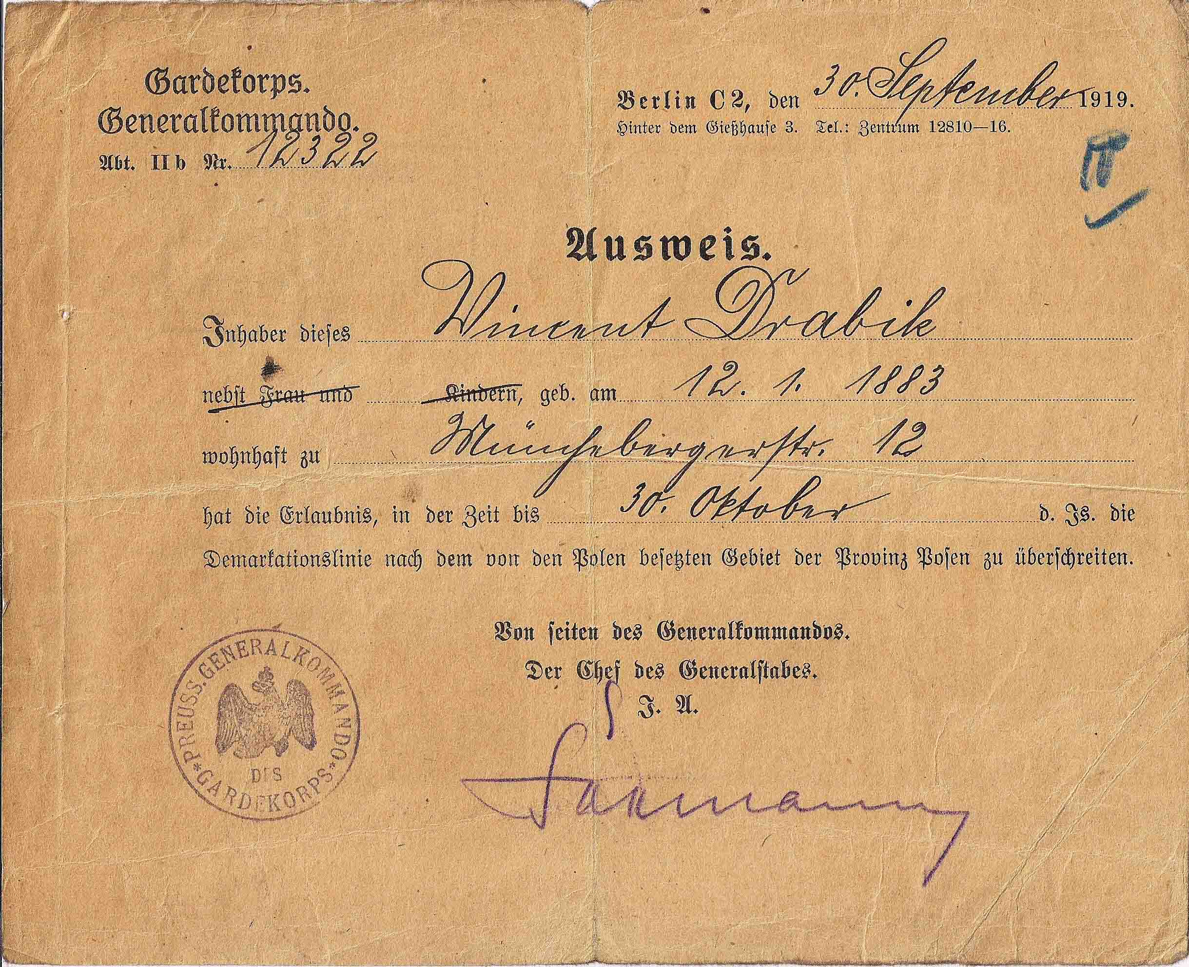
The Province of Posen (german: Provinz Posen, pl, Prowincja Poznańska) was a province of the Kingdom of Prussia from 1848 to 1920. Posen was established in 1848 following the Greater Poland Uprising as a successor to the Grand Duchy of Posen, which in turn was annexed by Prussia in 1815 from Napoleon's Duchy of Warsaw. It became part of the German Empire in 1871. After World War I, Posen was briefly part of the Free State of Prussia within Weimar Germany, but was dissolved in 1920 when most of its territory was ceded to the Second Polish Republic by the Treaty of Versailles, and the remaining German territory was later re-organized into Posen-West Prussia in 1922. Posen (present-day Poznań, Poland) was the provincial capital. Geography The land is mostly flat, drained by two major watershed systems; the Noteć (German: ''Netze'') in the north and the Warta (''Warthe'') in the center. Ice Age glaciers left moraine deposits and the land is speckled with hundreds of "finge ... [...More Info...] [...Related Items...] OR: [Wikipedia] [Google] [Baidu] |
Fraustadt (district)
The Fraustadt district (German: ''Kreis Fraustadt;'' 1939-1945: ''Landkreis Fraustadt'') was Prussian district which existed in various borders from 1793 to 1945. From 1793 to 1807 it was located in the Province of South Prussia, from 1815 to 1848 in the Grand Duchy of Posen, from 1848 to 1920 in the Province of Posen, from 1922 to 1938, in the Province of Posen-West Prussia, from 1938 to 1941 in the Province of Silesia and from 1941 to 1945 in the Province of Lower Silesia. Size The Fraustadt district had an area of * 1,002 km2 (1818-1887) * 477 km2 (1887-1920) * 262 km2 (1920-1938). History After the Second Partition of Poland, from 1793 to 1807, the area around Fraustadt and Lissa belonged to the ''Fraustadt district'' in the Prussian province of South Prussia. By the Treaty of Tilsit in 1807, the district was ceded to the Duchy of Warsaw. After the Congress of Vienna, on May 15, 1815, the district was restored to the Kingdom of Prussia and beca ... [...More Info...] [...Related Items...] OR: [Wikipedia] [Google] [Baidu] |
Oder
The Oder ( , ; Czech language, Czech, Lower Sorbian language, Lower Sorbian and ; ) is a river in Central Europe. It is Poland's second-longest river in total length and third-longest within its borders after the Vistula and Warta. The Oder rises in the Czech Republic and flows through western Poland, later forming of the border between Poland and Germany as part of the Oder–Neisse line. The river ultimately flows into the Szczecin Lagoon north of Szczecin and then into three branches (the Dziwna, Świna and Peene) that empty into the Bay of Pomerania of the Baltic Sea. Names The Oder is known by several names in different languages, but the modern ones are very similar: English and ; Czech, Polish, and , ; (); Medieval Latin: ''Od(d)era''; Renaissance Latin: ''Viadrus'' (invented in 1534). Ptolemy knew the modern Oder as the Συήβος (''Suebos''; Latin ''Suevus''), a name apparently derived from the Suebi, a Germanic people. While he also refers to an outlet in th ... [...More Info...] [...Related Items...] OR: [Wikipedia] [Google] [Baidu] |
Voivodeships Of Poland
A voivodeship (; pl, województwo ; plural: ) is the highest-level administrative division of Poland, corresponding to a province in many other countries. The term has been in use since the 14th century and is commonly translated into English as "province". The administrative divisions of Poland, Polish local government reforms adopted in 1998, which went into effect on 1 January 1999, created sixteen new voivodeships. These replaced the 49 subdivisions of the Polish People's Republic, former voivodeships that had existed from 1 July 1975, and bear a greater resemblance (in territory, but not in name) to the voivodeships that existed between 1950 and 1975. Today's voivodeships are mostly named after historical and geographical regions, while those prior to 1998 generally took their names from the cities on which they were centered. The new units range in area from under (Opole Voivodeship) to over (Masovian Voivodeship), and in population from nearly one million (Opole Voivodes ... [...More Info...] [...Related Items...] OR: [Wikipedia] [Google] [Baidu] |
Kraków
Kraków (), or Cracow, is the second-largest and one of the oldest cities in Poland. Situated on the Vistula River in Lesser Poland Voivodeship, the city dates back to the seventh century. Kraków was the official capital of Poland until 1596 and has traditionally been one of the leading centres of Polish academic, economic, cultural and artistic life. Cited as one of Europe's most beautiful cities, its Old Town with Wawel Royal Castle was declared a UNESCO World Heritage Site in 1978, one of the first 12 sites granted the status. The city has grown from a Stone Age settlement to Poland's second-most-important city. It began as a hamlet on Wawel Hill and was reported by Ibrahim Ibn Yakoub, a merchant from Cordoba, as a busy trading centre of Central Europe in 985. With the establishment of new universities and cultural venues at the emergence of the Second Polish Republic in 1918 and throughout the 20th century, Kraków reaffirmed its role as a major national academic an ... [...More Info...] [...Related Items...] OR: [Wikipedia] [Google] [Baidu] |
Second Partition Of Poland
The 1793 Second Partition of Poland was the second of three partitions (or partial annexations) that ended the existence of the Polish–Lithuanian Commonwealth by 1795. The second partition occurred in the aftermath of the Polish–Russian War of 1792 and the Targowica Confederation of 1792, and was approved by its territorial beneficiaries, the Russian Empire and the Kingdom of Prussia. The division was ratified by the coerced Polish parliament ( Sejm) in 1793 (see the Grodno Sejm) in a short-lived attempt to prevent the inevitable complete annexation of Poland, the Third Partition. Background By 1790, on the political front, the Commonwealth had deteriorated into such a helpless condition that it was forced into an alliance with its enemy, Prussia. The Polish-Prussian Pact of 1790 was signed, giving false hope that the Commonwealth might have at last found an ally that would shield it while it reformed itself. The May Constitution of 1791 enfranchised the bourgeoisie, ... [...More Info...] [...Related Items...] OR: [Wikipedia] [Google] [Baidu] |
Duchy Of Warsaw
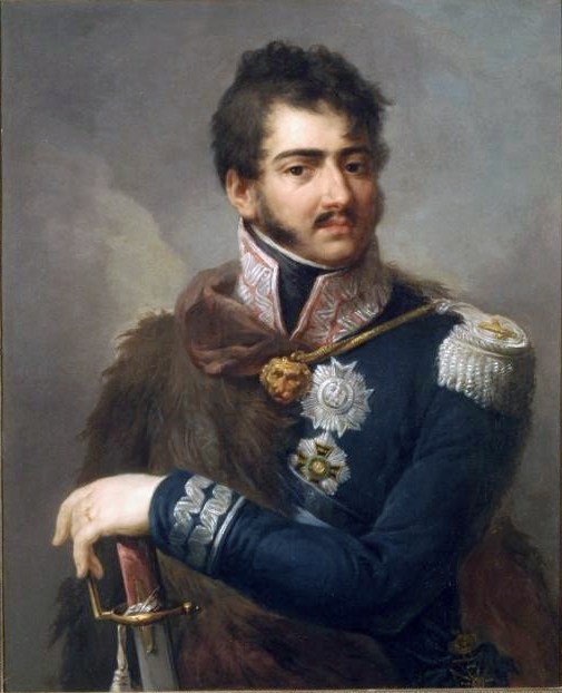
The Duchy of Warsaw ( pl, Księstwo Warszawskie, french: Duché de Varsovie, german: Herzogtum Warschau), also known as the Grand Duchy of Warsaw and Napoleonic Poland, was a French client state established by Napoleon Bonaparte in 1807, during the Napoleonic Wars. It comprised the ethnically Polish lands ceded to France by Prussia under the terms of the Treaties of Tilsit. It was the first attempt to re-establish Poland as a sovereign state after the 18th-century partitions and covered the central and southeastern parts of present-day Poland. The duchy was held in personal union by Napoleon's ally, Frederick Augustus I of Saxony, who became the Grand Duke of Warsaw and remained a legitimate candidate for the Polish throne. Following Napoleon's failed invasion of Russia, the duchy was occupied by Prussian and Russian troops until 1815, when it was formally divided between the two countries at the Congress of Vienna. The east-central territory of the duchy acquired by the Rus ... [...More Info...] [...Related Items...] OR: [Wikipedia] [Google] [Baidu] |


