|
Swabia (Bavaria)
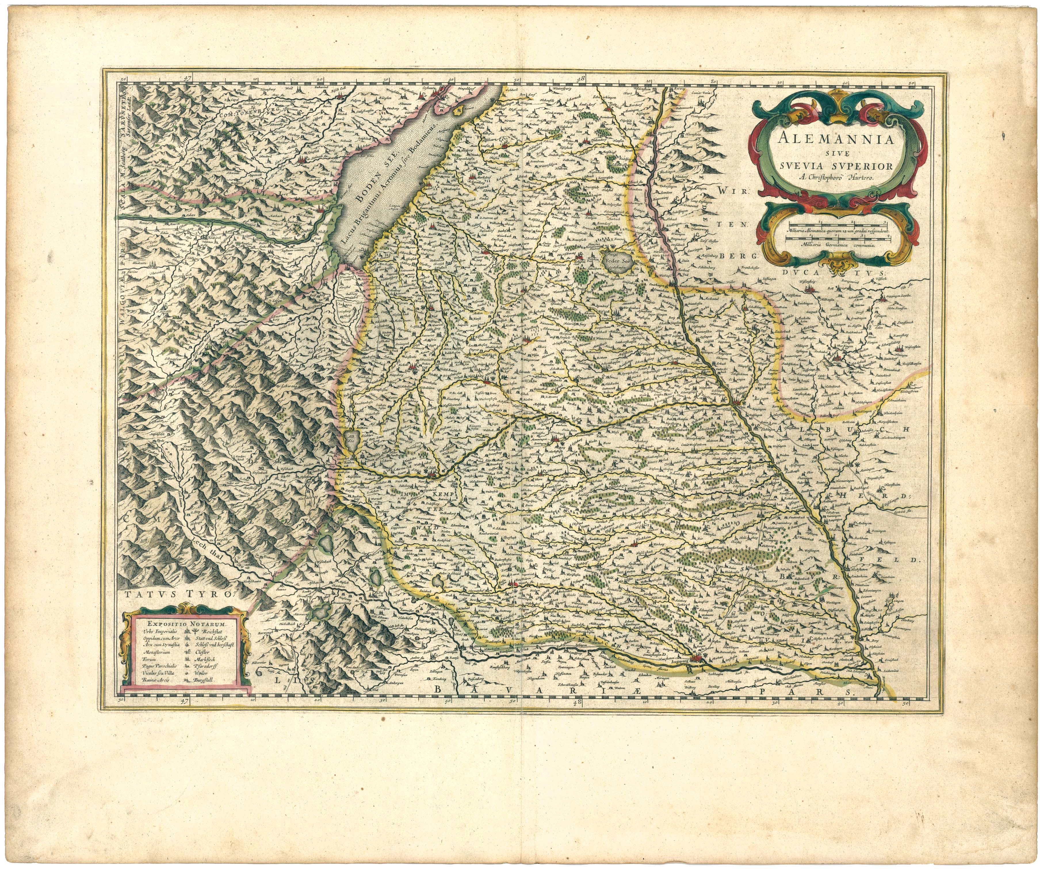
Swabia (, Swabian German, Swabian: ''Schwaabe'', ) is one of the seven Regierungsbezirk, administrative regions of Bavaria, Germany. It consists of ten districts and 340 municipalities (including four cities) with Augsburg being the administrative capital. Governance The county of Swabia is located in southwest Bavaria. It was annexed by Bavaria in 1803, is part of the historic region of Swabia and was formerly ruled by dukes of the House of Hohenstaufen, Hohenstaufen dynasty. During the Nazi Germany, Nazi period, the area was separated from the rest of Bavaria to become the Gau Swabia. It was re-incorporated into Bavaria after the war. The Regierungsbezirk is subdivided into 3 regions (''Planungsregionen''): Allgäu, Augsburg, and Donau-Iller. Donau-Iller also includes two districts and one city of Baden-Württemberg. * Part of the Swabian Keuper Land Districts and district-free towns before the regional reorganization in 1972 Population Historical population of Swabia: * ... [...More Info...] [...Related Items...] OR: [Wikipedia] [Google] [Baidu] |
Regierungsbezirk
A ' (, 'governmental district') is a type of administrative division in Germany. Currently, four of sixteen ' (states of Germany) are split into '. Beneath these are rural and urban districts ' (plural, ) serve as regional mid-level local government units in four of Germany's States of Germany, sixteen federal states: Baden-Württemberg, Bavaria, Hesse and North Rhine-Westphalia. Each of the nineteen ' features a non-legislative governing body called a ' (governing presidium) or ' (district government) headed by a ''Regierungspräsident (Germany), Regierungspräsident'' (governing president), concerned mostly with administrative decisions on a local level for districts of Germany, districts within its jurisdiction. Saxony has ' (directorate districts) with more responsibilities shifted from the Landtag, state parliament. Translations ' is a German term variously translated into English as "governmental district", "administrative district" or "province",Shapiro, Henry D. and Jo ... [...More Info...] [...Related Items...] OR: [Wikipedia] [Google] [Baidu] |
Neu-Ulm (district)
Neu-Ulm is a Districts of Germany, ''Landkreis'' (district) in Swabia (Bavaria), Swabia, Bavaria, Germany. It is bounded by (from the east and clockwise) the districts of Günzburg (district), Günzburg and Unterallgäu and the state of Baden-Württemberg (districts Biberach (district), Biberach and Alb-Donau (district), Alb-Donau, city of Ulm). The district was established in 1972 by merging the former districts of Neu-Ulm and Illertissen with the previously district-free city of Neu-Ulm. The district includes the eastern metropolitan area of the city of Ulm. The Danube and its tributary, the Iller, form the western border of the district. Coat of arms The coat of arms displays: * the moor from the arms of Kirchberg * the horn from the arms of Neuffen Towns and municipalities References External links * (German) Neu-Ulm (district), Districts of Bavaria Mittelschwaben Swabia (Bavaria) {{NeuUlm-geo-stub ... [...More Info...] [...Related Items...] OR: [Wikipedia] [Google] [Baidu] |
Upper Swabia
Upper Swabia ( or ) is a region in Germany in the federal states of Baden-Württemberg and Bavaria.''Brockhaus Enzyklopädie.'' 19. Auflage. Band 16, 1991, p. 72. The name refers to the area between the Swabian Jura, Lake Constance and the Lech (river), Lech. Its counterpart is Lower Swabia (''Niederschwaben''), the region around Heilbronn. Geography The region of Upper Swabia is situated in the central south of Germany consisting of the south-east of Baden-Württemberg and the south-west bavarian Swabia (administrative region), Swabia region and lies on the Iller-Lech Plateau, also known as the Upper Swabian Plain, one of the natural regions of Germany. The landscape of Upper Swabia was formed by retreating glaciers after the Riss glaciation, leaving behind a large number of shallows which quickly filled up with water. This led to the large quantity of lakes in Upper Swabia. The landscape of Upper Swabia is quite hilly rising from approximately 458 metres abo ... [...More Info...] [...Related Items...] OR: [Wikipedia] [Google] [Baidu] |
Northern Limestone Alps
The Northern Limestone Alps (), also called the Northern Calcareous Alps, are the ranges of the Eastern Alps north of the Central Eastern Alps located in Austria and the adjacent Bavarian lands of southeastern Germany. The distinction from the latter group, where the higher peaks are located, is based on differences in geological composition. Geography If viewed on a west–east axis, the Northern Limestone Alps extend from the Rhine valley and the Bregenz Forest in Vorarlberg, Austria in the west extending along the border between the German federal-state of Bavaria and Austrian Tyrol, through Salzburg, Upper Austria, Styria and Lower Austria and finally ending at the Wienerwald at the city-limits of Vienna in the east. The highest peaks in the Northern Limestone Alps are the Parseierspitze () in the Lechtal Alps,Reynolds, Kev (2010). ''Walking in the Alps'', Cicerone, . and the Hoher Dachstein (). Other notable peaks in this range include the Zugspitze, (), located on t ... [...More Info...] [...Related Items...] OR: [Wikipedia] [Google] [Baidu] |
Bavarian Alpine Foreland
The Alpine Foreland, less commonly called the Bavarian Foreland,Dickinson, Robert E (1964). ''Germany: A regional and economic geography'' (2nd ed.). London: Methuen, pp. 585-586. . Bavarian Plateau or Bavarian Alpine Foreland (), refers to a triangular region of plateau and rolling foothills in Southern Germany, stretching from Lake Constance in the west to beyond Linz on the Danube in the east, with the Bavarian Alps forming its south boundary and the Danube its northern extent. Geography The Alpine Foreland has been shaped under the influence of the ice ages and has a rich variety of landforms. A molasse basin of extensive Tertiary and Quaternary sediments —silt and clay, sand and sedimentary rocks from Alpine erosion— overlay the Alpine nappes. Features such as the morainic hills, gravel sandar and lakes have left a record of various glaciation stages in this region. The Alpine Foreland is crossed by the rivers Iller, Wertach, Lech, Isar and Inn, its western bounda ... [...More Info...] [...Related Items...] OR: [Wikipedia] [Google] [Baidu] |
Iller-Lech Plateau
The Iller-Lech Plateau (), also known as the Upper Swabian Plateau (''Oberschwäbische Hochebene''), is one of the natural regions of Germany. Boundaries In the northwest the Iller-Lech Plateau borders on the Swabian Jura (unit D60 on the map) and, in the extreme northeast, on the Franconian Jura (unit D61 on the map). The boundary with these two natural regions is roughly formed by the course of the river Danube. In the east the Iller-Lech Plateau borders on the Lower Bavarian Upland and Isar-Inn Gravel Plateaus (unit D65 on the map). North of Augsburg its eastern boundary runs roughly parallel to state road 2035 (Augsburg- Pöttmes-Neuburg an der Donau), south of Augsburg east of the Lech, roughly between Mering, Geltendorf and Schongau. To the south the Southern Alpine Foreland (D66 on the map) borders on the Iller-Lech Plateau. The boundary between these two natural regions is partly formed by the terminal moraines of the Würm glaciation. Sub-divisions The sub- ... [...More Info...] [...Related Items...] OR: [Wikipedia] [Google] [Baidu] |
Swabian Jura
The Swabian Jura ( , more rarely ), sometimes also named Swabian Alps in English, is a mountain range in Baden-Württemberg, Germany, extending from southwest to northeast and in width. It is named after the region of Swabia. It is part of the Table Jura (). The Swabian Jura occupies the region bounded by the Danube in the southeast and the upper Neckar in the northwest. In the southwest it rises to the higher mountains of the Black Forest. The highest mountain in the region is the Lemberg (Swabian Alb), Lemberg (). The area's profile resembles a high plateau, which slowly falls away to the southeast. The northwestern edge is a steep escarpment (called the Albtrauf or Albanstieg, rising up , covered with forests), while the top is flat or gently rolling. In economic and cultural terms, the Swabian Jura includes regions just around the mountain range. It is a popular recreation area. The whole ''Schwäbische Alb'' area is a UNESCO Global Geoparks, UNESCO global geopark coveri ... [...More Info...] [...Related Items...] OR: [Wikipedia] [Google] [Baidu] |
Nördlinger Ries
The Nördlinger Ries is an impact crater and large circular depression in western Bavaria and eastern Baden-Württemberg. It is located north of the Danube in the district of Donau-Ries. The city of Nördlingen is located within the depression, about south-west of its centre. Etymology "Ries" is derived from Raetia, since the tribe of Raetians lived in the area in pre- Roman times. Description The depression is a meteorite impact crater formed 14.808 ± 0.038 million years ago in the Miocene. The crater is most commonly referred to simply as the ''Ries crater'' or ''the Ries''. The original crater rim had an estimated diameter of . The present floor of the depression is about below the eroded remains of the rim. It was originally assumed that the Ries was of volcanic, glacial or tectonic origin. Oliver Sachs introduced, in this context, the term "pioneer era" (up to 1870) and marked the beginning of early modern research on the Ries (from 1870), meaning the perio ... [...More Info...] [...Related Items...] OR: [Wikipedia] [Google] [Baidu] |
Memmingen
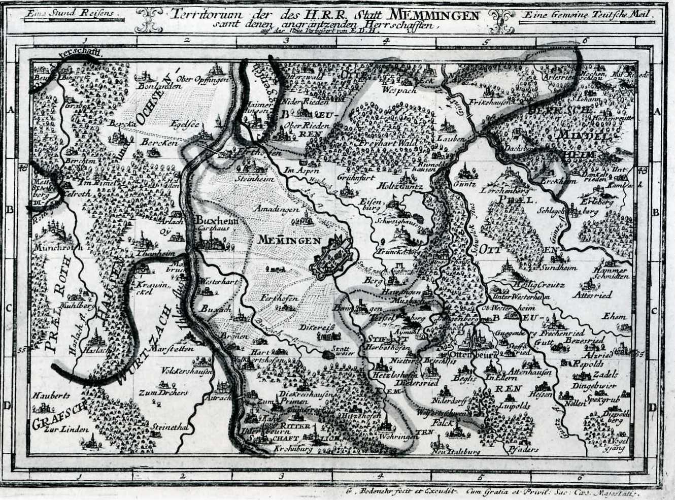
Memmingen (; Swabian German, Swabian: ''Memmenge'') is a town in Swabia (Bavaria), Swabia, Bavaria, Germany. It is the economic, educational and administrative centre of the Danube-Iller region. To the west the town is flanked by the Iller, the river that marks the Baden-Württemberg border. To the north, east and south the town is surrounded by the district of Unterallgäu (Lower Allgäu). With about 42,000 inhabitants, Memmingen is the 5th biggest town in the administrative region of Swabia. The origins of the town go back to the Roman Empire. The old town, with its many courtyards, castles and patricians' houses, palaces and fortifications is one of the best preserved in southern Germany. With good transport links by road, rail and air, it is the transport hub for Swabia, Upper Swabia and Swabia, Central Swabia, and the Allgäu. Due to its proximity to the Allgäu region, Memmingen is often called the Gateway to the Allgäu (''Tor zum Allgäu''). The town motto is ''Memminge ... [...More Info...] [...Related Items...] OR: [Wikipedia] [Google] [Baidu] |
Kempten
Kempten (; ) is the largest town of Allgäu, in Swabia, Bavaria, Germany. The population was about 68,000 in 2016. The area was possibly settled originally by Celts, but was later taken over by the Romans, who called the town ''Cambodunum''. Kempten is the oldest urban settlement (town) in Germany. History Pre-Roman The Greek geographer Strabo mentions in 50 BC a town of the Celtic Estiones named ''Kambodunon''. This is considered the oldest written reference of any German city. So far no archaeological evidence could be found that this Celtic settlement really existed. Roman era In 15 BC Roman troops led by Nero Claudius Drusus and his brother Tiberius conquered and destroyed the existing Celtic settlement. In the following years the city, whose name was Latinized as ''Cambodunum'', was rebuilt on a classical Roman city plan with baths, forum and temples. Initially in wood, the city was later rebuilt in stone after a devastating fire that destroyed almost the entir ... [...More Info...] [...Related Items...] OR: [Wikipedia] [Google] [Baidu] |
Kaufbeuren
Kaufbeuren (; Bavarian language, Bavarian: ''Kaufbeiren'') is an independent city, independent town in the ''Regierungsbezirk'' of Swabia (Bavaria), Swabia, Bavaria. The town is an enclave within the Districts of Germany, district of Ostallgäu. Districts Kaufbeuren consists of nine districts: * Kaufbeuren (town core incl. historical town) * Kaufbeuren-Neugablonz (built for displaced Germans after WWII) * Oberbeuren * Hirschzell * Kleinkemnat * Großkemnat * Märzisried * Ölmühlhang * Sankt Cosmas Mayors Stefan Bosse (CSU) is the Lord Mayor of Kaufbeuren since November 2004. He was reelected in March 2014 with 57.48% of the votes and again in March 2020 with 54.5% of the votes. Landmarks * Town hall (built 1879–1881) * Crescentiakloster (founded 1150) * Historical town with partially conserved historical town wall * St.-Martins-Kirche * Fünfknopfturm (Five-Button-Tower) St.-Blasius-Kirche* Hexenturm Gerberturm* Pulverturm MünzturmSywollenturmZollhäuschen* Stadttheater Kau ... [...More Info...] [...Related Items...] OR: [Wikipedia] [Google] [Baidu] |


