|
Suárez Fault
The Suárez Fault () is a sinistral strike-slip fault, oblique thrust fault in the departments of Colombia, department of Santander Department, Santander in northeastern Colombia. The fault has a total length of and runs along an average north-northeast to south-southwest strike (geology), strike of 021.1 ± 8 in the Cordillera Oriental (Colombia), Eastern Ranges of the Colombian Andes from Barbosa, Santander, Barbosa in the south to Bucaramanga in the north, where it connects with the regional Bucaramanga-Santa Marta Fault. Etymology The fault is named after the Suárez River.Paris et al., 2000, p.34 Description The Suárez Fault runs from Barbosa, Santander, Barbosa in the south,Mapa Geológico Santander, 1999 where it displaces the Simití Formation,Plancha 170, 2009 and joins the Bucaramanga-Santa Marta Fault, Bucaramanga Fault a few kilometers to the north of the city of Bucaramanga. The Suárez Fault cuts Jurassic (Girón Formation),Plancha 135, 2009 and Cretaceous sedim ... [...More Info...] [...Related Items...] OR: [Wikipedia] [Google] [Baidu] |
Suárez River
The Suárez River, originally Saravita, is a river in the Cordillera Oriental (Colombia), Eastern Ranges of the Colombian Andes. The river originates in Lake Fúquene on the border of Cundinamarca Department, Cundinamarca and Boyacá Department, Boyacá and its mouth is the confluence with the Chicamocha River, forming the Sogamoso River in Santander Department, Santander. It is part of the Magdalena River, Magdalena Basin flowing towards the Caribbean Sea. The long river is one of the longest on the Altiplano Cundiboyacense and forms the natural borders of Cundinamarca and Boyacá and Boyacá and Santander in its upstream and downstream part respectively. The river formed the trajectory for the Spanish conquest of the Muisca, when the conquistadors went uphill into the Andes from the tropical lowlands of Barrancabermeja in the north. The difference in altitude along the river course, from at the source to at its mouth, in its large basin causes climatic variations, especially ... [...More Info...] [...Related Items...] OR: [Wikipedia] [Google] [Baidu] |
Colombia
Colombia, officially the Republic of Colombia, is a country primarily located in South America with Insular region of Colombia, insular regions in North America. The Colombian mainland is bordered by the Caribbean Sea to the north, Venezuela to the east and northeast, Brazil to the southeast, Peru and Ecuador to the south and southwest, the Pacific Ocean to the west, and Panama to the northwest. Colombia is divided into 32 Departments of Colombia, departments. The Capital District of Bogotá is also the List of cities in Colombia by population, country's largest city hosting the main financial and cultural hub. Other major urban areas include Medellín, Cali, Barranquilla, Cartagena, Colombia, Cartagena, Santa Marta, Cúcuta, Ibagué, Villavicencio and Bucaramanga. It covers an area of 1,141,748 square kilometers (440,831 sq mi) and has a population of around 52 million. Its rich cultural heritage—including language, religion, cuisine, and art—reflects its history as a co ... [...More Info...] [...Related Items...] OR: [Wikipedia] [Google] [Baidu] |
Cimitarra Fault
The Cimitarra Fault () is a sinistral oblique thrust fault in the departments of Antioquia, Bolívar and Santander in central Colombia. The fault has a total length of and runs along an average northeast to southwest strike of 323 ± 3 in the Middle Magdalena Valley and Central Ranges of the Colombian Andes. Etymology The fault is named after the Cimitarra River, Antioquia, a left tributary of the Magdalena River.Paris et al., 2000a, p.30 Description The Cimitarra Fault splays from the Palestina Fault in a northeasterly direction on the eastern border of the Central Ranges of the Colombian Andes, passes north of Barrancabermeja,Paris et al., 2000b and possibly connects to the Bucaramanga-Santa Marta Fault in the northeast.Plancha 5-06, 2015 The fault displaces Jurassic to Cretaceous volcanic rocks, Mesozoic igneous rocks, a Tertiary erosion surface in the Central Ranges, and late Quaternary sediments. Portions of the fault are pre-Pliocene in age, since it is locally cove ... [...More Info...] [...Related Items...] OR: [Wikipedia] [Google] [Baidu] |
List Of Earthquakes In Colombia
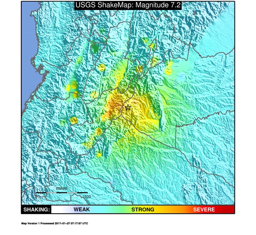
This is a list of earthquakes in Colombia. Colombia is a seismically active country and has a large seismic risk in many areas of its territory due to its location at the boundaries of the Malpelo, Panama, Caribbean, North Andes (where most earthquakes occurred) and South American plates along the Pacific Ring of Fire. The southeastern and extreme eastern portions of Colombia are not as seismically active as the rest of the country. The first historically registered earthquake felt in Colombia occurred on September 11, 1530, around 10:00 AM, probably with the epicentre near Cumaná, Venezuela. The earthquake was documented by Gonzalo Fernández de Oviedo y Valdés in his work ''La Historia general de las Indias'' and by friar Bartolomé de las Casas in his book ''Historia de Las Indias''.Ramírez, 1975, p.63 The first documented earthquake with its epicentre in present-day Colombia territory took place in 1566,Ramírez, 1975, p.65 with the epicentre estimated around Santande ... [...More Info...] [...Related Items...] OR: [Wikipedia] [Google] [Baidu] |
Zapatoca
Zapatoca () is a town and municipality in the Santander Department in northeastern Colombia. It is at a high altitude and is a common stop between Bucaramanga and San Gil. It was built in the early 17th century by the Spanish conquistadores. Climate Paleontology Fossils of Early Cretaceous animals from the Valanginian-Hauterivian Rosablanca Formation were collected near Zapatoca. Fossil material include fishes, particularly pycnodonts and hybodontiform '' Strophodus'', ichthyosaurs, elasmosaurids. Remains of turtles, including '' Notoemys zapatocaensis'', possible ornithocheirid pterosaurs and ammonite '' Saynoceras verrucosum'' also known from this location. There is also a report about metriorhynchoid crocodylomorph from these deposits. During the Valanginian and Hauterivian ages, here was a shallow sea where hybodontiforms and pycnodontiforms played an important trophic role as shell-crushing predators. Notable people * Miguel Acuña (1788-1847), Franciscan priest and ... [...More Info...] [...Related Items...] OR: [Wikipedia] [Google] [Baidu] |
San Juan De Girón
San Juan de Girón (better known as Girón), formerly: Villa de los Caballeros de Girón, is a municipality of the Santander Department, which is part of the Bucaramanga Metropolitan area in northeastern Colombia Colombia, officially the Republic of Colombia, is a country primarily located in South America with Insular region of Colombia, insular regions in North America. The Colombian mainland is bordered by the Caribbean Sea to the north, Venezuel .... Pueblo Patrimonio Girón was declared a Colombian '' Pueblo Patrimonio'' (heritage town) by the Colombian government in 2010. National Monument The municipality is known National Monument of Colombia for its old sector characterized by its Spanish colonial architecture (cobblestone streets, houses with white walls, large dark brown and/or black doors, and clay tile roofs). Climate References Municipalities of Santander Department {{Santander-geo-stub ... [...More Info...] [...Related Items...] OR: [Wikipedia] [Google] [Baidu] |
Debris Flow
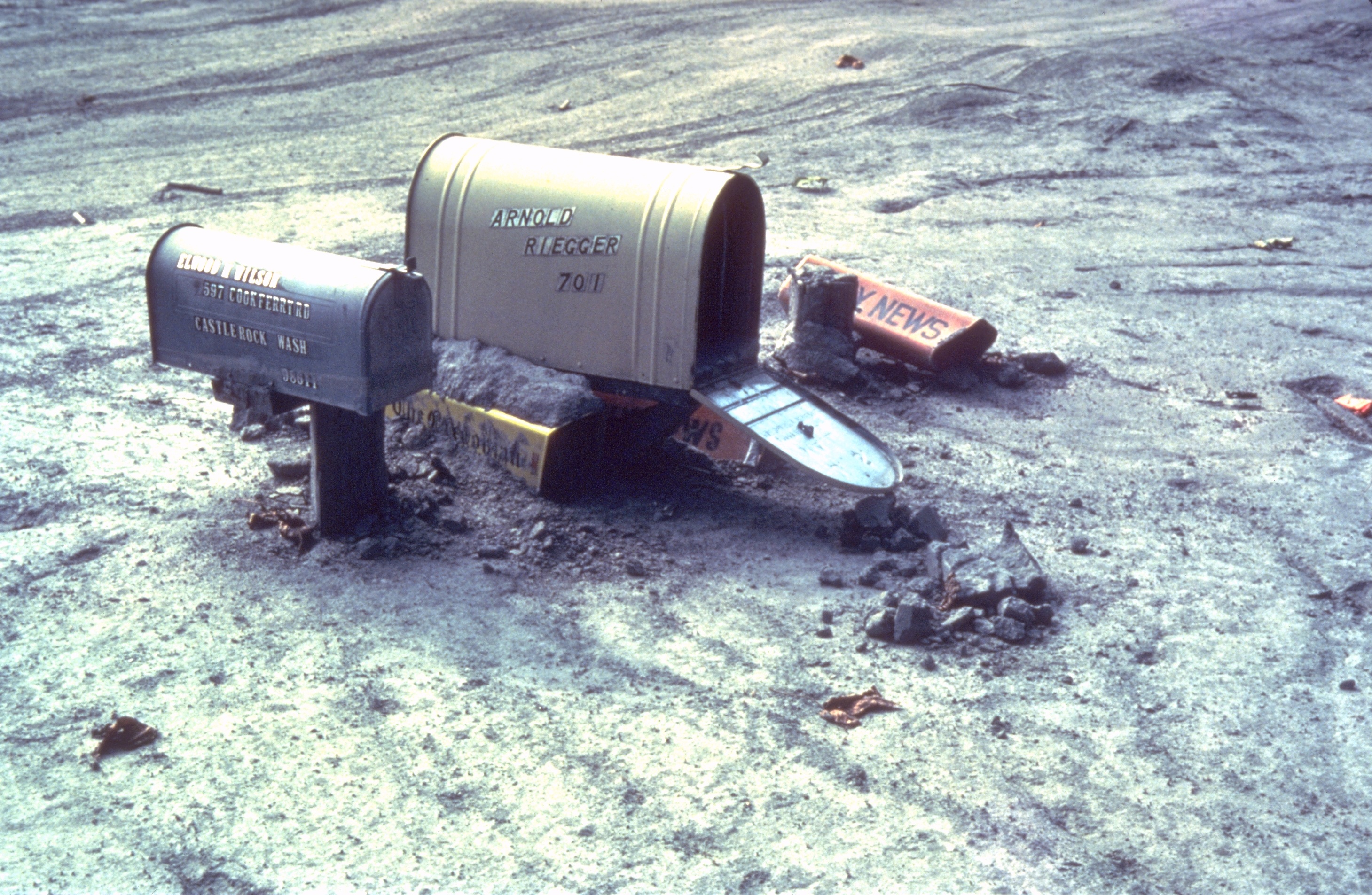
Debris flows are geological phenomena in which water-laden masses of soil and fragmented Rock (geology), rock flow down mountainsides, funnel into stream channels, entrain objects in their paths, and form thick, muddy deposits on valley floors. They generally have bulk density, bulk densities comparable to those of rock avalanche, rockslides and other types of landslide classification, landslides (roughly 2000 kilograms per cubic meter), but owing to widespread sediment liquefaction caused by high pore pressure, pore-fluid pressures, they can flow almost as fluidly as water. Debris flows descending steep channels commonly attain speeds that surpass 10 m/s (36 km/h), although some large flows can reach speeds that are much greater. Debris flows with volumes ranging up to about 100,000 cubic meters occur frequently in mountainous regions worldwide. The largest prehistoric flows have had volumes exceeding 1 billion cubic meters (i.e., 1 cubic kilometer). As a result o ... [...More Info...] [...Related Items...] OR: [Wikipedia] [Google] [Baidu] |
Mud Flow
A mudflow, also known as mudslide or mud flow, is a form of mass wasting involving fast-moving flow of debris and dirt that has become liquified by the addition of water. Such flows can move at speeds ranging from 3 meters/minute to 5 meters/second. Mudflows contain a significant proportion of clay, which makes them more fluid than debris flows, allowing them to travel farther and across lower slope angles. Both types of flow are generally mixtures of particles with a wide range of sizes, which typically become sorted by size upon deposition. Mudflows are often called mudslips, a term applied indiscriminately by the mass media to a variety of mass wasting events. Mudflows often start as slides, becoming flows as water is entrained along the flow path; such events are often called mud failures. Other types of mudflows include lahars (involving fine-grained pyroclastic deposits on the flanks of volcanoes) and jökulhlaups (outbursts from under glaciers or icecaps). A statutory ... [...More Info...] [...Related Items...] OR: [Wikipedia] [Google] [Baidu] |
Alluvial
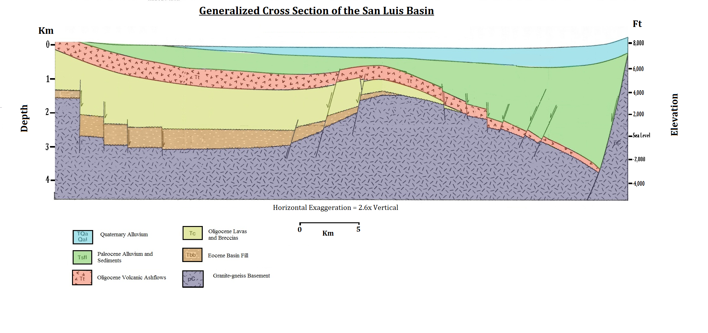
Alluvium (, ) is loose clay, silt, sand, or gravel that has been deposited by running water in a stream bed, on a floodplain, in an alluvial fan or beach, or in similar settings. Alluvium is also sometimes called alluvial deposit. Alluvium is typically geologically young and is not consolidated into solid rock. Sediments deposited underwater, in seas, estuaries, lakes, or ponds, are not described as alluvium. Floodplain alluvium can be highly fertile, and supported some of the earliest human civilizations. Definitions The present consensus is that "alluvium" refers to loose sediments of all types deposited by running water in floodplains or in alluvial fans or related landforms. However, the meaning of the term has varied considerably since it was first defined in the French dictionary of Antoine Furetière, posthumously published in 1690. Drawing upon concepts from Roman law, Furetière defined '' alluvion'' (the French term for alluvium) as new land formed by deposition ... [...More Info...] [...Related Items...] OR: [Wikipedia] [Google] [Baidu] |
Sedimentary Rock
Sedimentary rocks are types of rock (geology), rock formed by the cementation (geology), cementation of sediments—i.e. particles made of minerals (geological detritus) or organic matter (biological detritus)—that have been accumulated or deposited at Earth's surface. Sedimentation is any process that causes these particles to settle in place. Geological detritus originates from weathering and erosion of existing rocks, or from the solidification of molten lava blobs erupted by volcanoes. The geological detritus is transported to the place of deposition by water, wind, ice or Mass wasting, mass movement, which are called agents of denudation. Biological detritus is formed by bodies and parts (mainly shells) of dead aquatic organisms, as well as their fecal mass, suspended in water and slowly piling up on the floor of water bodies (marine snow). Sedimentation may also occur when dissolved minerals precipitate from aqueous solution, water solution. The sedimentary rock cover of ... [...More Info...] [...Related Items...] OR: [Wikipedia] [Google] [Baidu] |
Cretaceous
The Cretaceous ( ) is a geological period that lasted from about 143.1 to 66 mya (unit), million years ago (Mya). It is the third and final period of the Mesozoic Era (geology), Era, as well as the longest. At around 77.1 million years, it is the ninth and longest geological period of the entire Phanerozoic. The name is derived from the Latin , 'chalk', which is abundant in the latter half of the period. It is usually abbreviated K, for its German translation . The Cretaceous was a period with a relatively warm climate, resulting in high Sea level#Local and eustatic, eustatic sea levels that created numerous shallow Inland sea (geology), inland seas. These oceans and seas were populated with now-extinct marine reptiles, ammonites, and rudists, while dinosaurs continued to dominate on land. The world was largely ice-free, although there is some evidence of brief periods of glaciation during the cooler first half, and forests extended to the poles. Many of the dominant taxonomic gr ... [...More Info...] [...Related Items...] OR: [Wikipedia] [Google] [Baidu] |
Jurassic
The Jurassic ( ) is a Geological period, geologic period and System (stratigraphy), stratigraphic system that spanned from the end of the Triassic Period million years ago (Mya) to the beginning of the Cretaceous Period, approximately 143.1 Mya. The Jurassic constitutes the second and middle period of the Mesozoic, Mesozoic Era as well as the eighth period of the Phanerozoic, Phanerozoic Eon and is named after the Jura Mountains, where limestone strata from the period were first identified. The start of the Jurassic was marked by the major Triassic–Jurassic extinction event, associated with the eruption of the Central Atlantic magmatic province, Central Atlantic Magmatic Province (CAMP). The beginning of the Toarcian Age started around 183 million years ago and is marked by the Toarcian Oceanic Anoxic Event, a global episode of Anoxic event, oceanic anoxia, ocean acidification, and elevated global temperatures associated with extinctions, likely caused by the eruption of the Kar ... [...More Info...] [...Related Items...] OR: [Wikipedia] [Google] [Baidu] |


