|
Stjernsundet
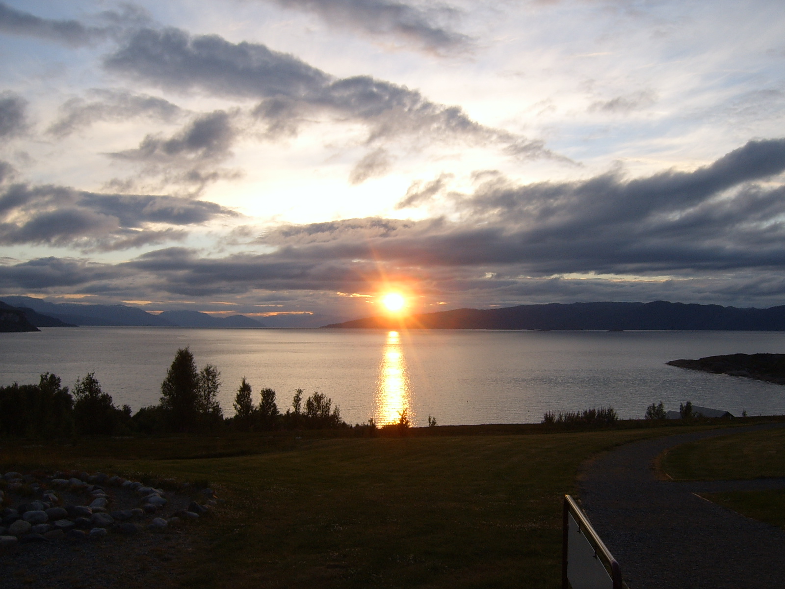
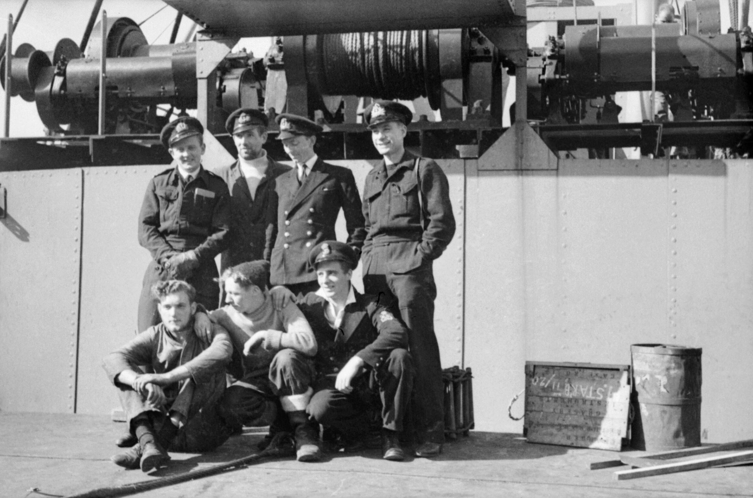
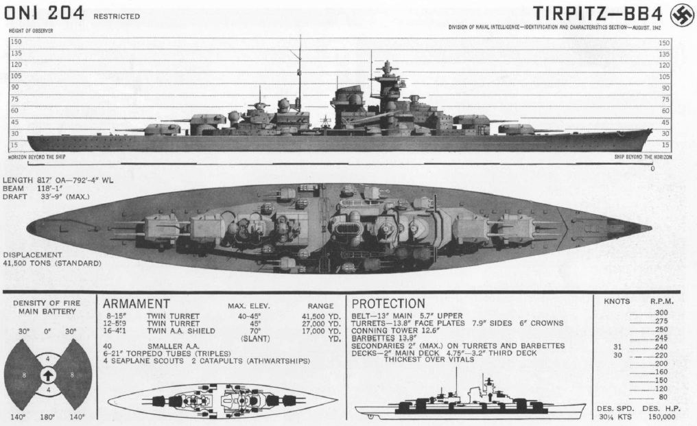
Stjernsundet is a strait in Troms og Finnmark, Norway. It separates the island of Stjernøya from the mainland. Stjernsundet leads from the outer part of Altafjorden, and opens up westwards into Lopphavet. During the World War II World War II or the Second World War, often abbreviated as WWII or WW2, was a world war that lasted from 1939 to 1945. It involved the vast majority of the world's countries—including all of the great powers—forming two opposin ... Operation Source, a number of British X-crafts found their way from Lopphavet through Stjernsundet and succeeded in attacking and damaging the German battleship ''Tirpitz'' in Kåfjorden, an inner branch of Altafjorden. References Straits of Norway Landforms of Troms og Finnmark Alta, Norway World War II sites in Norway {{TromsFinnmark-geo-stub ... [...More Info...] [...Related Items...] OR: [Wikipedia] [Google] [Baidu] |
Stjernøya
Stjernøya ( sme, Stierdná) is an island in western Troms og Finnmark county, Norway. The island sits at the mouth of the Altafjorden on the south side of the Sørøysundet strait. It is divided among the municipalities of Loppa, Hasvik, and Alta. The highest point on the island is the tall mountain Kjerringfjordfjellet. One of the larger fjords on the island is the Sørfjorden. There were 80 residents on the mountainous island in 2012. The main population area is at the village of Store Kvalfjord on the northeastern side of the island. On the southern part of the island there is a large nepheline syenite mine at ''Lillebukt''. The island is separated from the mainland by the strait of Stjernsundet. See also *List of islands of Norway This is a list of islands of Norway sorted by name. For a list sorted by area, see List of islands of Norway by area. A * Alden * Aldra * Algrøy * Alsta * Altra * Anda * Andabeløya * Andørja * Andøya, Vesterålen * Andøya, ... [...More Info...] [...Related Items...] OR: [Wikipedia] [Google] [Baidu] |
Troms Og Finnmark
Troms og Finnmark (; sme, Romsa ja Finnmárku ; fkv, Tromssa ja Finmarkku; fi, Tromssa ja Finnmark, lit. Troms and Finnmark in English), is a county in northern Norway that was established on 1 January 2020 as the result of a regional reform. Its lifespan as county is only temporary, as it was decided to cease to exist from January 1st 2024. It is the largest county by area in Norway, encompassing about . It was formed by the merger of the former Finnmark and Troms counties in addition to Tjeldsund Municipality from Nordland county. The administrative centre of the county is split between two towns. The political and administrative offices are based in city of Tromsø (the seat of the old Troms county). The county governor is based in town of Vadsø (the seat of the old Finnmark county). The two towns are about apart, approximately a 10-hour drive by car. On 1 January 2024, the county will be demerged back to the counties Finnmark and Troms; parliament decided that ... [...More Info...] [...Related Items...] OR: [Wikipedia] [Google] [Baidu] |
Altafjorden
Altafjord ( en, Alta Fjord;Koop, Gerhard, & Klaus-Peter Schmolke. 2000. ''Heavy Cruisers of the Admiral Hipper Class: Warships of the Kriegsmarine''. Barnsley, UK: Seaforth Publishing, p. 55. no, Altafjorden; fkv, Alattionvuono) is a fjord in Alta Municipality in Troms og Finnmark county, Norway. The long fjord stretches from the town of Alta in the south to the islands of Stjernøya and Seiland. The long river Altaelva empties into the fjord at the town of Alta. At Stjernøya and Seiland islands, the fjord splits into two straits before emptying into the Norwegian Sea. Some of the larger side-branches off the main fjord include Langfjorden, Kåfjorden, and Korsfjorden. The fjord was historically known as "Altenfjord", and was referred to as such by British historians throughout most of the 20th century. History Prehistoric culture A large number of prehistoric rock carvings have been found along the fjord, particularly at the bay Jiepmaluokta. These locations at K ... [...More Info...] [...Related Items...] OR: [Wikipedia] [Google] [Baidu] |
Lopphavet
Lopphavet is a stretch of open sea along the border of Troms og Finnmark and Troms og Finnmark counties in Norway. It has a width of about , and it stretches between the large island of Sørøya in Finnmark and the islands of Arnøya and Nord-Fugløya in Troms. The Sørøysundet strait and the Altafjorden Altafjord ( en, Alta Fjord;Koop, Gerhard, & Klaus-Peter Schmolke. 2000. ''Heavy Cruisers of the Admiral Hipper Class: Warships of the Kriegsmarine''. Barnsley, UK: Seaforth Publishing, p. 55. no, Altafjorden; fkv, Alattionvuono) is a fjord in A ... connect to the Lopphavet on the east side of the sea. The Kvænangen fjord connects to the south. The Fugløysundet strait connects to it in the west. References Landforms of Troms og Finnmark Straits of Norway Loppa Skjervøy Kvænangen Hasvik {{TromsFinnmark-geo-stub ... [...More Info...] [...Related Items...] OR: [Wikipedia] [Google] [Baidu] |
NAF Veibok
''NAF Veibok'' is a triannual publication issued by the Norwegian Automobile Federation. The book contains road maps, route descriptions and other road information. The first edition of the book came in 1928. The 29th edition, published in 2010, contains a total of about 800 pages, including an atlas An atlas is a collection of maps; it is typically a bundle of maps of Earth or of a region of Earth. Atlases have traditionally been bound into book form, but today many atlases are in multimedia formats. In addition to presenting geograp ... of 136 map pages of a scale of 1:400,000, covering the Norwegian mainland. References Norwegian books Travel guide books Publications established in 1928 1928 establishments in Norway Maps of Norway Atlases {{Norway-road-stub ... [...More Info...] [...Related Items...] OR: [Wikipedia] [Google] [Baidu] |
Store Norske Leksikon
The ''Great Norwegian Encyclopedia'' ( no, Store Norske Leksikon, abbreviated ''SNL''), is a Norwegian-language online encyclopedia. The online encyclopedia is among the most-read Norwegian published sites, with more than two million unique visitors per month. Paper editions 1978–2007 The ''SNL'' was created in 1978, when the two publishing houses Aschehoug and Gyldendal merged their encyclopedias and created the company Kunnskapsforlaget. Up until 1978 the two publishing houses of Aschehoug and Gyldendal, Norway's two largest, had published ' and ', respectively. The respective first editions were published in 1907–1913 (Aschehoug) and 1933–1934 (Gyldendal). The slump in sales for paper-based encyclopedias around the turn of the 21st century hit Kunnskapsforlaget hard, but a fourth edition of the paper encyclopedia was secured by a grant of ten million Norwegian kroner from the foundation Fritt Ord in 2003. The fourth edition consisted of 16 volumes, a ... [...More Info...] [...Related Items...] OR: [Wikipedia] [Google] [Baidu] |
World War II
World War II or the Second World War, often abbreviated as WWII or WW2, was a world war that lasted from 1939 to 1945. It involved the World War II by country, vast majority of the world's countries—including all of the great powers—forming two opposing military alliances: the Allies of World War II, Allies and the Axis powers. World War II was a total war that directly involved more than 100 million Military personnel, personnel from more than 30 countries. The major participants in the war threw their entire economic, industrial, and scientific capabilities behind the war effort, blurring the distinction between civilian and military resources. Air warfare of World War II, Aircraft played a major role in the conflict, enabling the strategic bombing of population centres and deploying the Atomic bombings of Hiroshima and Nagasaki, only two nuclear weapons ever used in war. World War II was by far the List of wars by death toll, deadliest conflict in hu ... [...More Info...] [...Related Items...] OR: [Wikipedia] [Google] [Baidu] |
Operation Source
Operation Source was a series of attacks to neutralise the heavy German warships – ''Tirpitz'', ''Scharnhorst'' and ''Lützow'' – based in northern Norway, using X-class midget submarines. The attacks took place in September 1943 at Kaafjord and succeeded in keeping ''Tirpitz'' out of action for at least six months. The concept for the attack was developed by Commander Cromwell-Varley, with support of Max Horton, Flag Officer Submarines, and Prime Minister Winston Churchill. The operation was directed from HMS ''Varbel'', located in Port Bannatyne on the Isle of Bute. ''Varbel'' (named after Commanders Varley and Bell, designers of the X-Craft prototype) was the on-shore headquarters for the 12th Submarine Flotilla (midget submarines). It had been a luxury 88-bedroom hotel (the Kyles Hydropathic Hotel) requisitioned by the Admiralty to serve as the flotilla’s headquarters. All X-craft training and preparation for X-craft attacks (including that on ''Tirpitz'') was ... [...More Info...] [...Related Items...] OR: [Wikipedia] [Google] [Baidu] |
German Battleship Tirpitz
''Tirpitz'' was the second of two s built for Nazi Germany's ''Kriegsmarine'' (navy) prior to and during the Second World War. Named after Grand Admiral Alfred von Tirpitz, the architect of the Imperial German Navy, ''Kaiserliche Marine'' (Imperial Navy), the ship was laid down at the Kriegsmarinewerft Wilhelmshaven in November 1936 and her Hull (watercraft), hull was launched two and a half years later. Work was completed in February 1941, when she was commissioned into the German fleet. Like her sister ship, , ''Tirpitz'' was armed with a main battery of eight 38 cm SK C/34 naval gun, guns in four twin Gun turret, turrets. After a series of wartime modifications she was 2000 tonnes heavier than ''Bismarck'', making her the heaviest battleship ever built by a European navy. After completing sea trials in early 1941, ''Tirpitz'' briefly served as the centrepiece of the Baltic Fleet, which was intended to prevent a possible break-out attempt by the Soviet Baltic Fleet#Great Patr ... [...More Info...] [...Related Items...] OR: [Wikipedia] [Google] [Baidu] |
Kåfjorden (Alta)
or is a fjord in Alta Municipality in Troms og Finnmark county, Norway. The long fjord branches off the main Altafjorden. The village of Kåfjord and the Kåfjord Church both lie along the northern coast of the fjord. The European route E06 highway follows the northern shoreline of the fjord. A bridge over Kåfjorden was built in 2013 to shorten the E6 highway route around the fjord. The fjord was the anchorage of the German battleship ''Tirpitz'' for much of World War II, which was attacked by British midget submarines during Operation Source in 1943 and by aircraft during Operation Tungsten, Operation Mascot, Operation Goodwood and Operation Paravane in 1944. See also * List of Norwegian fjords This list of Norwegian fjords shows many of the fjords in Norway. In total, there are about 1,190 fjords in Norway and the Svalbard islands. The sortable list includes the lengths and locations of those fjords. Fjords See also * List of gl ... References Fjords o ... [...More Info...] [...Related Items...] OR: [Wikipedia] [Google] [Baidu] |
Straits Of Norway
A strait is an oceanic landform connecting two seas or two other large areas of water. The surface water generally flows at the same elevation on both sides and through the strait in either direction. Most commonly, it is a narrow ocean channel that lies between two land masses. Some straits are not navigable, for example because they are either too narrow or too shallow, or because of an unnavigable reef or archipelago. Straits are also known to be loci for sediment accumulation. Usually, sand-size deposits occur on both the two opposite strait exits, forming subaqueous fans or deltas. Terminology The terms '' channel'', ''pass'', or ''passage'' can be synonymous and used interchangeably with ''strait'', although each is sometimes differentiated with varying senses. In Scotland, ''firth'' or ''Kyle'' are also sometimes used as synonyms for strait. Many straits are economically important. Straits can be important shipping routes and wars have been fought for control of t ... [...More Info...] [...Related Items...] OR: [Wikipedia] [Google] [Baidu] |
Landforms Of Troms Og Finnmark
A landform is a natural or anthropogenic land feature on the solid surface of the Earth or other planetary body. Landforms together make up a given terrain, and their arrangement in the landscape is known as topography. Landforms include hills, mountains, canyons, and valleys, as well as shoreline features such as bays, peninsulas, and seas, including submerged features such as mid-ocean ridges, volcanoes, and the great ocean basins. Physical characteristics Landforms are categorized by characteristic physical attributes such as elevation, slope, orientation, stratification, rock exposure and soil type. Gross physical features or landforms include intuitive elements such as berms, mounds, hills, ridges, cliffs, valleys, rivers, peninsulas, volcanoes, and numerous other structural and size-scaled (e.g. ponds vs. lakes, hills vs. mountains) elements including various kinds of inland and oceanic waterbodies and sub-surface features. Mountains, hills, plateaux, and plains are the fou ... [...More Info...] [...Related Items...] OR: [Wikipedia] [Google] [Baidu] |


.jpg)