|
Stidia
Stidia is a small town and commune in Hassi Mamèche District, Mostaganem Province, Algeria. In 1998 the commune had a total population of 10,688. Situation Stidia is located from Mostaganem, the wilaya (province) capital, and from Oran, the country's second largest city. A four-lane highway links both cities, via Stidia. The city is located on the Greenwich meridian. Name The name of Stidia derives from an old fountain named ''Aïn Stidia''. The town was first named ''La Stidia'', before being renamed ''Georges Clémenceau'' by the French, after World War I. According to Salim Ammar who was born in the territory of Stidia, this town was named in the 15th century by the Moors Istija (إستجة) in honor of their lost city in Andalucia, the current Écija. The German settlers later in the 19th century mispronounced the Arabic name and it became Stidia or Stidya. History Before the foundation of the European settlement down the hill, the Moors who were expelled from Spain aft ... [...More Info...] [...Related Items...] OR: [Wikipedia] [Google] [Baidu] |
Mostaganem Province
Mostaganem () is a province (''wilaya'') of Algeria, with a population of 892165 inhabitants in 2019, with a density of 393/square kilometers. Its capital is Mostaganem. Geography The land relief in Mostaganem Province can be divided into four regions: the Dahra Range to the east, the Mostaganem Plateau to the south, the Chelif River valley which separates the two highland regions, and the plains on the province's southern border which lie next to the marshes of the Macta. The Mostaganem Plateau covers eleven municipalities in the southern part of the province: Mostaganem, Ain Tedles, Sour, Bouguirat, Sirat, Souaflia, Mesra, Ain Sidi Cherif, Mansourah, Touahria and Sayada. It is a semi-arid and sandy plateau, in the shape of a triangle and bounded to the north by the Chelif River. It receives 350 mm of rainfall per year. During French colonization, viticulture was introduced on the plateau. After the country's independence, it was replaced by irrigated market ga ... [...More Info...] [...Related Items...] OR: [Wikipedia] [Google] [Baidu] |
Hassi Mamèche District
Hassi Mamèche is a district in Mostaganem Province, Algeria. It was named after its capital, Hassi Mamèche. Municipalities The district is further divided into 3 municipalities: * Hassi Mamèche *Stidia Stidia is a small town and commune in Hassi Mamèche District, Mostaganem Province, Algeria. In 1998 the commune had a total population of 10,688. Situation Stidia is located from Mostaganem, the wilaya (province) capital, and from Oran, the c ... * Mazagran Districts of Mostaganem Province {{Mostaganem-geo-stub ... [...More Info...] [...Related Items...] OR: [Wikipedia] [Google] [Baidu] |
Provinces Of Algeria
Algeria, as of 2024, is divided into 58 wilaya, wilayas (province, provinces). Prior to December 18, 2019, there were 48 provinces. The 58 provinces are divided into 1,541 baladiyahs (Municipalities of Algeria, municipalities). The name of a province is always that of its capital city. According to the Algerian constitution, a wilaya is a territorial collectivity enjoying economic and diplomatic freedom, the APW, or ''Popular Provincial Parliament/Provincial Popular Parliament'' (the ''Assemblée Populaire Wilayale'', in French) is the political entity governing a province, directed by the Wali (administrative title), ''Wali'' (Governor), who is chosen by the Algerian President to handle the APW's decisions, the APW has also a president, who is elected by the members of the APW, which Algerians elect. List By 1984 the number of Algerian provinces was fixed at 48 and established the list of municipalities or "communes" attached to each province. In 2019, 10 new provinces were ... [...More Info...] [...Related Items...] OR: [Wikipedia] [Google] [Baidu] |
Algeria Stidia Greenwich
Algeria, officially the People's Democratic Republic of Algeria, is a country in the Maghreb region of North Africa. It is bordered to the northeast by Tunisia; to the east by Libya; to the southeast by Niger; to the southwest by Mali, Mauritania, and Western Sahara; to the west by Morocco; and to the north by the Mediterranean Sea. The capital and largest city is Algiers, located in the far north on the Mediterranean coast. Inhabited since prehistory, Algeria has been at the crossroads of numerous cultures and civilisations, including the Phoenicians, Numidians, Romans, Vandals, and Byzantine Greeks. Its modern identity is rooted in centuries of Arab Muslim migration waves since the seventh century and the subsequent Arabisation of the indigenous populations. Following a succession of Islamic Arab and Berber dynasties between the eighth and 15th centuries, the Regency of Algiers was established in 1516 as a largely independent tributary state of the Ottoman Empire. Af ... [...More Info...] [...Related Items...] OR: [Wikipedia] [Google] [Baidu] |
France
France, officially the French Republic, is a country located primarily in Western Europe. Overseas France, Its overseas regions and territories include French Guiana in South America, Saint Pierre and Miquelon in the Atlantic Ocean#North Atlantic, North Atlantic, the French West Indies, and List of islands of France, many islands in Oceania and the Indian Ocean, giving it Exclusive economic zone of France, one of the largest discontiguous exclusive economic zones in the world. Metropolitan France shares borders with Belgium and Luxembourg to the north; Germany to the northeast; Switzerland to the east; Italy and Monaco to the southeast; Andorra and Spain to the south; and a maritime border with the United Kingdom to the northwest. Its metropolitan area extends from the Rhine to the Atlantic Ocean and from the Mediterranean Sea to the English Channel and the North Sea. Its Regions of France, eighteen integral regions—five of which are overseas—span a combined area of and hav ... [...More Info...] [...Related Items...] OR: [Wikipedia] [Google] [Baidu] |
Dunkerque
Dunkirk ( ; ; ; Picard language, Picard: ''Dunkèke''; ; or ) is a major port city in the Departments of France, department of Nord (French department), Nord in northern France. It lies from the Belgium, Belgian border. It has the third-largest French harbour. The population of the commune in 2019 was 86,279. Etymology and language use The name of Dunkirk derives from West Flemish 'dune' or 'dun (fortification), dun' and 'church', thus 'church in the dunes'. A smaller town 25 km (15 miles) farther up the Flemish coast originally shared the same name, but was later renamed Oostduinkerke(n) in order to avoid confusion. Until the middle of the 20th century, French Flemish (the local variety of Dutch language, Dutch) was commonly spoken. History Middle Ages A fishing village arose late in the tenth century, in the originally flooded coastal area of the English Channel south of the Western Scheldt, when the area was held by the County of Flanders, Counts of Flanders, va ... [...More Info...] [...Related Items...] OR: [Wikipedia] [Google] [Baidu] |
Écija
Écija () is a city and municipality of Spain belonging to the province of Seville, in the autonomous community of Andalusia. It is in the countryside, 85 km east of the city of Seville. According to the 2008 census, Écija had a total population of 40,100 inhabitants, ranking as the fifth most populous municipality in the province. The river Genil, the main tributary of the river Guadalquivir, runs through the city. The economy of Écija is based on agriculture (olives, cereals and vegetables), cattle (cows and horses) and textile industry. The most distinctive feature of the urban landscape of Écija are the city's Baroque bell towers. History Roman Astigi Ancient Iberian finds date back to the 8th century BC, and there are several archaeological remains of later Greek and Roman settlements. In Roman times the town was at first known as ''Astigi''. During the Roman civil war Écija stood "firmly" at the side of Julius Caesar in the Battle of Munda. As a reward Caesar ord ... [...More Info...] [...Related Items...] OR: [Wikipedia] [Google] [Baidu] |
World War I
World War I or the First World War (28 July 1914 – 11 November 1918), also known as the Great War, was a World war, global conflict between two coalitions: the Allies of World War I, Allies (or Entente) and the Central Powers. Fighting took place mainly in European theatre of World War I, Europe and the Middle Eastern theatre of World War I, Middle East, as well as in parts of African theatre of World War I, Africa and the Asian and Pacific theatre of World War I, Asia-Pacific, and in Europe was characterised by trench warfare; the widespread use of Artillery of World War I, artillery, machine guns, and Chemical weapons in World War I, chemical weapons (gas); and the introductions of Tanks in World War I, tanks and Aviation in World War I, aircraft. World War I was one of the List of wars by death toll, deadliest conflicts in history, resulting in an estimated World War I casualties, 10 million military dead and more than 20 million wounded, plus some 10 million civilian de ... [...More Info...] [...Related Items...] OR: [Wikipedia] [Google] [Baidu] |
Greenwich Meridian
The Greenwich meridian is a prime meridian, a geographical reference line that passes through the Royal Observatory, Greenwich, in London, England. From 1884 to 1974, the Greenwich meridian was the international standard prime meridian, used worldwide for timekeeping and navigation. The modern standard, the IERS Reference Meridian, is based on the Greenwich meridian, but differs slightly from it. This prime meridian (at the time, one of many) was first established by Sir George Airy (in 1851). In 1883, the International Geodetic Association formally recommended to governments that the meridian through Greenwich be adopted as the international standard prime meridian. In October of the following year, at the invitation of the President of the United States, 41 delegates from 25 nations met in Washington, D.C., United States, for the International Meridian Conference. This inter-governmental conference selected the meridian passing through Greenwich as the world standa ... [...More Info...] [...Related Items...] OR: [Wikipedia] [Google] [Baidu] |
Georges Clemenceau
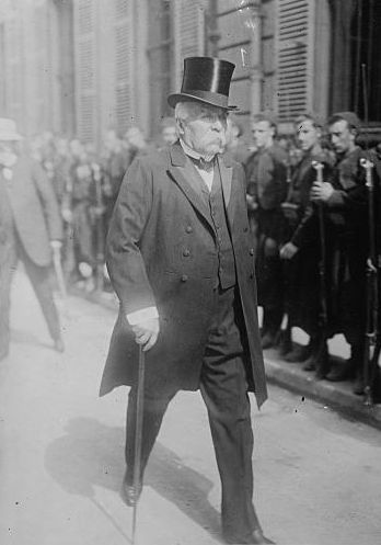
Georges Benjamin Clemenceau (28 September 1841 – 24 November 1929) was a French statesman who was Prime Minister of France from 1906 to 1909 and again from 1917 until 1920. A physician turned journalist, he played a central role in the politics of the French Third Republic, Third Republic, particularly amid the end of the First World War. He was a key figure of the Independent Radicals, advocating for the separation of church and state, as well as the amnesty of the Communards exiled to New Caledonia. After about 1,400,000 French soldiers were killed between the Schlieffen Plan, German invasion and Armistice of 11 November 1918, Armistice, he demanded a total victory over the German Empire. Clemenceau stood for reparations, a transfer of colonies, strict rules to prevent a rearming process, as well as the restitution of Alsace–Lorraine, which had been annexed to Germany in 1871. He achieved these goals through the Treaty of Versailles signed at the Paris Peace Conferen ... [...More Info...] [...Related Items...] OR: [Wikipedia] [Google] [Baidu] |
Oran
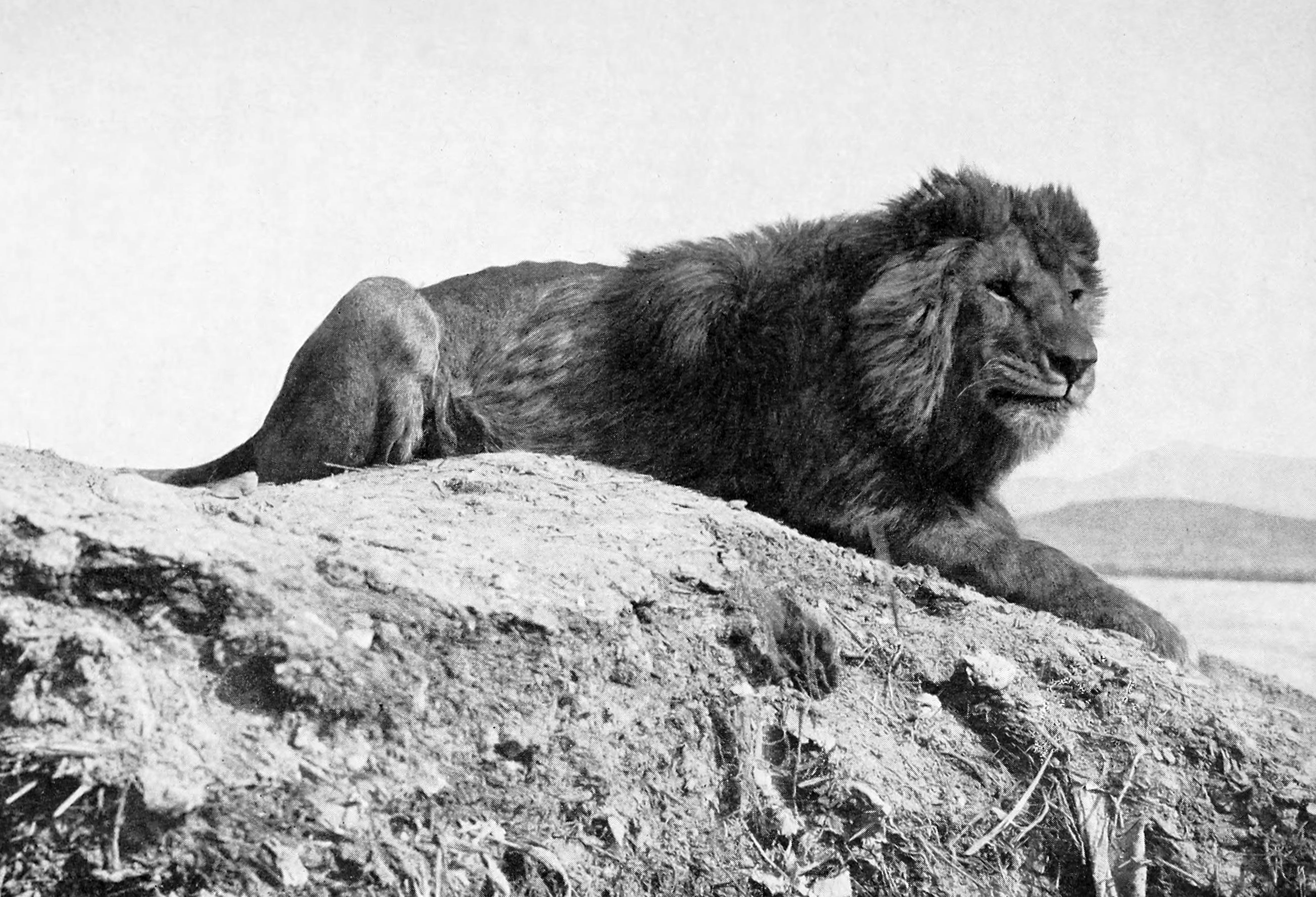
Oran () is a major coastal city located in the northwest of Algeria. It is considered the second most important city of Algeria, after the capital, Algiers, because of its population and commercial, industrial and cultural importance. It is west-southwest from Algiers. The total population of the city was 803,329 in 2008, while the metropolitan area has a population of approximately 1,500,000, making it the second-largest city in Algeria. Etymology The word ''Wahran'' comes from the Berber expression ''wa - iharan'' (place of lions). A locally popular legend tells that in the period around AD 900, there were sightings of Barbary lions in the area. The last two lions were killed on a mountain near Oran, and it became known as ''la montagne des lions'' ("The Mountain of Lions"). Two giant lion statues stand in front of Oran's city hall, symbolizing the city. History Overview During the Roman Empire, a small settlement called ''Unica Colonia'' existed in the area of the current ... [...More Info...] [...Related Items...] OR: [Wikipedia] [Google] [Baidu] |


