|
Stet, Missouri
Stet is an unincorporated community on the Ray/ Carroll County line and part of the Kansas City metropolitan area. It is located approximately fourteen miles northwest of Carrollton at the intersection of Missouri Supplemental Route A supplemental route is a state secondary road in the U.S. state of Missouri, designated with letters. Supplemental routes were various roads within the state which the Missouri Department of Transportation was given in 1952 to maintain in addit ...s K and JJ. History A post office called Stet was established in 1890, and remained in operation until 1973. That same year, the rural route was consolidated with Norborne but the building stayed open as a contract office until 2011. The origin of the name "Stet" is obscure. The meaning of Stet in Latin is "let it stand." References Unincorporated communities in Ray County, Missouri Unincorporated communities in Carroll County, Missouri Unincorporated communities in Missouri {{RayCou ... [...More Info...] [...Related Items...] OR: [Wikipedia] [Google] [Baidu] |
Unincorporated Area
An unincorporated area is a region that is not governed by a local municipal corporation. Widespread unincorporated communities and areas are a distinguishing feature of the United States and Canada. Most other countries of the world either have no unincorporated areas at all or these are very rare: typically remote, outlying, sparsely populated or List of uninhabited regions, uninhabited areas. By country Argentina In Argentina, the provinces of Chubut Province, Chubut, Córdoba Province (Argentina), Córdoba, Entre Ríos Province, Entre Ríos, Formosa Province, Formosa, Neuquén Province, Neuquén, Río Negro Province, Río Negro, San Luis Province, San Luis, Santa Cruz Province, Argentina, Santa Cruz, Santiago del Estero Province, Santiago del Estero, Tierra del Fuego Province, Argentina, Tierra del Fuego, and Tucumán Province, Tucumán have areas that are outside any municipality or commune. Australia Unlike many other countries, Australia has only local government in Aus ... [...More Info...] [...Related Items...] OR: [Wikipedia] [Google] [Baidu] |
Ray County, Missouri
Ray County is a county located in the northwestern portion of the U.S. state of Missouri and is part of the Kansas City metropolitan area. As of the 2020 census, the population was 23,158. Its county seat is Richmond. The county was organized November 16, 1820 and named for John Ray, a Missouri state legislator and member of the first state Constitutional Convention. Geography According to the U.S. Census Bureau, the county has a total area of , of which is land and (0.9%) is water. Adjacent counties * Caldwell County (north) * Carroll County (east) * Lafayette County (south) * Jackson County (southwest) *Clay County (west) *Clinton County (northwest) Major highways * Route 10 * Route 13 * Route 210 National protected area *Big Muddy National Fish and Wildlife Refuge (part) Demographics As of the census of 2000, there were 23,354 people, 8,743 households, and 6,539 families residing in the county. The population density was 16/km2 (41/mi2). There were 9,371 housing ... [...More Info...] [...Related Items...] OR: [Wikipedia] [Google] [Baidu] |
Carroll County, Missouri
Carroll County is a county located in the U.S. state of Missouri. As of the 2020 census, the county had a population of 8,495. Its county seat is Carrollton. The county was organized on January 2, 1833, from part of Ray County and named for Charles Carroll of Carrollton, a signer of the Declaration of Independence. Geography According to the U.S. Census Bureau, the county has a total area of , of which is land and (1.0%) is water. Adjacent counties * Livingston County (north) *Chariton County (east) * Saline County (southeast) * Lafayette County (southwest) * Ray County (west) * Caldwell County (northwest) Major highways * U.S. Route 24 * U.S. Route 65 * Route 10 * Route 139 Demographics As of the census of 2000, there were 10,285 people, 4,169 households, and 2,880 families residing in the county. The population density was 15 people per square mile (6/km2). There were 4,897 housing units at an average density of 7 per square mile (3/km2). The racial ... [...More Info...] [...Related Items...] OR: [Wikipedia] [Google] [Baidu] |
Kansas City Metropolitan Area
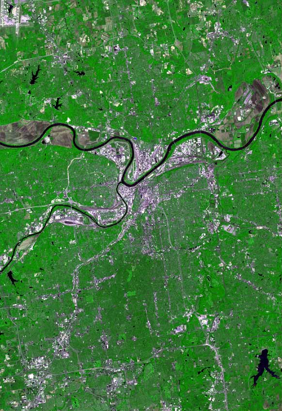
The Kansas City metropolitan area is a bi-state metropolitan area anchored by Kansas City, Missouri. Its 14 counties straddle the border between the U.S. states of Missouri (9 counties) and Kansas (5 counties). With and a population of more than 2.2 million people, it is the second-largest metropolitan area centered in Missouri (after Greater St. Louis) and is the largest metropolitan area in Kansas, though Wichita is the largest metropolitan area centered in Kansas. Alongside Kansas City, Missouri, these are the suburbs with populations above 100,000: Overland Park, Kansas; Kansas City, Kansas; Olathe, Kansas; Independence, Missouri; and Lee's Summit, Missouri. Business enterprises and employers include Cerner Corporation (the largest, with almost 10,000 local employees and about 20,000 global employees), AT&T, BNSF Railway, GEICO, Asurion, T-Mobile (formerly Sprint), Black & Veatch, AMC Theatres, Citigroup, Garmin, Hallmark Cards, Waddell & Reed, H&R Block, Ge ... [...More Info...] [...Related Items...] OR: [Wikipedia] [Google] [Baidu] |
Carrollton, Missouri
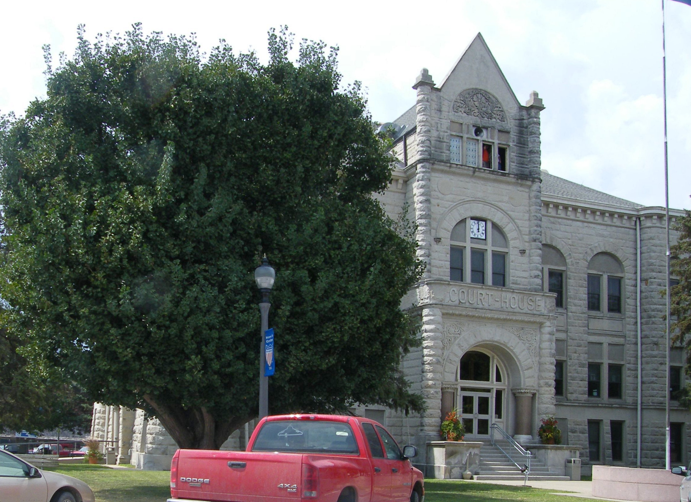
Carrollton is a city in Carroll County, Missouri, United States. Carrollton won the 2005 All-America City Award, given out annually by the National Civic League. The population was 3,514 at the 2020 census. Carrollton is the county seat of Carroll County. History Carrollton was established in 1833. It obtained its post office in 1834. Carrollton's growth can be documented through Sanborn maps, several of which are available online. The Carroll County Court House, Carroll County Sheriff's Quarters and Jail, United States Post Office, and Wilcoxson and Company Bank are listed on the National Register of Historic Places. Geography Carrollton is located in south central Carroll County at the intersection of US routes 24 and US Route 65. The Missouri River is five miles south of the city. According to the United States Census Bureau, the city has a total area of , of which is land and is water. Climate Demographics Education Carrollton R-VII School District oper ... [...More Info...] [...Related Items...] OR: [Wikipedia] [Google] [Baidu] |
Missouri Supplemental Route
A supplemental route is a state secondary road in the U.S. state of Missouri, designated with letters. Supplemental routes were various roads within the state which the Missouri Department of Transportation was given in 1952 to maintain in addition to the regular routes, though lettered routes had been in use from at least 1932. The four types of roads designated as Routes are: * Farm to market roads * Roads to state parks * Former alignments of U.S. or state highways * Short routes connecting state highways from other states to routes in Missouri Supplemental routes make up (59%) of the state highway system. History Prior to 1907, all road improvement activities in Missouri were undertaken by the individual counties, with little expertise or coordination between them. Amid growing automobile presence and insufficient road networks in Missouri in the ensuing years, the state legislature created a state highway department and the state highway commission as well as enacted vari ... [...More Info...] [...Related Items...] OR: [Wikipedia] [Google] [Baidu] |
Unincorporated Communities In Ray County, Missouri
Unincorporated may refer to: * Unincorporated area, land not governed by a local municipality * Unincorporated entity, a type of organization * Unincorporated territories of the United States, territories under U.S. jurisdiction, to which Congress has determined that only select parts of the U.S. Constitution apply * Unincorporated association Unincorporated associations are one vehicle for people to cooperate towards a common goal. The range of possible unincorporated associations is nearly limitless, but typical examples are: :* An amateur football team who agree to hire a pitch onc ..., also known as voluntary association, groups organized to accomplish a purpose * ''Unincorporated'' (album), a 2001 album by Earl Harvin Trio {{disambig ... [...More Info...] [...Related Items...] OR: [Wikipedia] [Google] [Baidu] |


