|
St Mellons Rural District
St Mellons Rural District is a defunct district council. It was established under the provisions of the Local Government Act 1894 from part of the existing Newport Rural Sanitary District. It comprised the parishes of Bedwas, Bettws, Coedkernew, Duffryn, Graig, Henllys, Machen Lower, Machen Upper, Malpas, Marshfield, Michaelstone-y-Fedw, Peterstone Wentloog, Rogerstone, Rumney, St Brides Wentloog, St Mellons and St Woolos in the administrative county of Monmouthshire. Initially, the St Mellons Rural District Council also administered two parishes in Glamorgan: Llanvedw and Rhydygwern, which had also formed part of the sanitary district. The Glamorgan parishes were annexed to Llandaff and Dinas Powis Rural District in 1895. The Rural District Council comprised a number of councillors and a chairman and initially replaced the local sanitary authorities. Its responsibilities included sanitary services, sewerage, refuse collection, maintaining local roads, cemeteries ... [...More Info...] [...Related Items...] OR: [Wikipedia] [Google] [Baidu] |
Newport, Wales
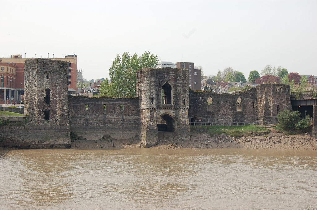
Newport ( cy, Casnewydd; ) is a city and county borough in Wales, situated on the River Usk close to its confluence with the Severn Estuary, northeast of Cardiff. With a population of 145,700 at the 2011 census, Newport is the third-largest authority with city status in Wales, and seventh most populous overall. Newport became a unitary authority in 1996 and forms part of the Cardiff-Newport metropolitan area. Newport was the site of the last large-scale armed insurrection in Great Britain, the Newport Rising of 1839. Newport has been a port since medieval times when the first Newport Castle was built by the Normans. The town outgrew the earlier Roman town of Caerleon, immediately upstream and now part of the borough. Newport gained its first charter in 1314. It grew significantly in the 19th century when its port became the focus of coal exports from the eastern South Wales Valleys. Newport was the largest coal exporter in Wales until the rise of Cardiff in the mid ... [...More Info...] [...Related Items...] OR: [Wikipedia] [Google] [Baidu] |
Rogerstone
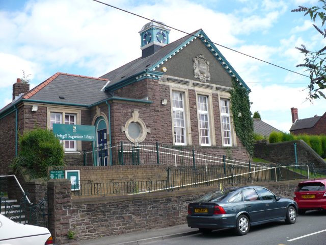
Rogerstone ( cy, Tŷ du, meaning "Black house") is a large village and community (parish) in Newport, Wales. The area is governed by Newport City Council. The village falls within the ancient parish of Bassaleg and historic county of Monmouthshire. The parish lies at the gateway to the Sirhowy valley, to the north of Newport on the eastern side of the Ebbw River. It is bounded by the M4 motorway to the south, the Ebbw River to the west, the Henllys Vale to the east and the city boundary with Caerphilly county borough to the north. Rogerstone railway station is on the Ebbw Valley Railway. It opened on 6 February 2008 and links Ebbw Vale to and via Rogerstone. Pye Corner railway station, to the south of the ward and on the same line, was opened on 14 December 2014. History The original settlement dates back to Norman times when Rogerstone Castle was built in the early part of the 12th century. The name is said to originate from Roger de Haia, the Norman Lord who ... [...More Info...] [...Related Items...] OR: [Wikipedia] [Google] [Baidu] |
History Of Newport, Wales
Newport ( cy, Casnewydd; ) is a city and Local government in Wales#Principal areas, county borough in Wales, situated on the River Usk close to its confluence with the Severn Estuary, northeast of Cardiff. With a population of 145,700 at the 2011 census, Newport is the third-largest authority with City status in the United Kingdom, city status in Wales, and seventh List of Welsh principal areas, most populous overall. Newport became a unitary authority in 1996 and forms part of the Cardiff-Newport metropolitan area. Newport was the site of the last large-scale armed insurrection in Great Britain, the Newport Rising of 1839. Newport has been a port since medieval times when the first Newport Castle was built by the Normans. The town outgrew the earlier Roman Britain, Roman town of Caerleon, immediately upstream and now part of the borough. Newport gained its first Municipal charter, charter in 1314. It grew significantly in the 19th century when its port became the focus of Coa ... [...More Info...] [...Related Items...] OR: [Wikipedia] [Google] [Baidu] |
County Borough
County borough is a term introduced in 1889 in the United Kingdom of Great Britain and Ireland, to refer to a borough or a city independent of county council control, similar to the unitary authorities created since the 1990s. An equivalent term used in Scotland was a county of city. They were abolished by the Local Government Act 1972 in England and Wales, but continue in use for lieutenancy and shrievalty in Northern Ireland. In the Republic of Ireland they remain in existence but have been renamed ''cities'' under the provisions of the Local Government Act 2001. The Local Government (Wales) Act 1994 re-introduced the term for certain " principal areas" in Wales. Scotland did not have county boroughs but instead had counties of cities. These were abolished on 16 May 1975. All four Scottish cities of the time—Aberdeen, Dundee, Edinburgh, and Glasgow—were included in this category. There was an additional category of large burgh in the Scottish system (similar to a munic ... [...More Info...] [...Related Items...] OR: [Wikipedia] [Google] [Baidu] |
Bedwas And Machen
Bedwas, Trethomas and Machen is a community and an electoral ward in the county borough of Caerphilly, constituting the villages of Machen, Trethomas, Bedwas, and Upper and Lower Graig-y-Rhacca. It lies in the Caerphilly Basin in the shadow of Mynydd y Grug and Mynydd Machen. All villages in the area grew as a result of the coal mining industry, which carries its legacy on today. History Bedwas and Machen Urban District was formed on 1 October 1912 from the parishes of Bedwas and Machen Upper, previously part of St Mellons Rural District. In 1935 the boundaries were altered when it exchanged areas with the neighbouring Mynyddislwyn Urban District. The urban district was abolished by the Local Government Act 1972, becoming part of Rhymney Valley District in Mid Glamorgan. On the abolition of the urban district, a community with identical boundaries was formed, and a community council established. On 16 March 1989 the community was renamed Bedwas, Trethomas and Machen. On ... [...More Info...] [...Related Items...] OR: [Wikipedia] [Google] [Baidu] |
Cardiff Rural District
Cardiff Rural District was a second tier local government district of Glamorgan, Wales until 1974. It covered the more rural areas to the west and north of the city of Cardiff. Background Cardiff Rural District was preceded by the Llandaff and Dinas Powis District which had been created in December 1894. In 1922 large parts of the parishes of Caerau, Llandaff, Llanishen, St Fagans, Michaelston-super-Ely, Whitchurch and Llanedeyrn (total population 19,000) were transferred to Cardiff County Borough and the rural district's name was changed to Cardiff Rural District. The rural district excluded Penarth Urban District and the town of Barry. Following the ''Cardiff Order 1966'' the majority of Whitchurch and parts of Radyr, Lisvane and Llanedeyrn were transferred to Cardiff. Barry MP, Raymond Gower, bemoaned in Parliament that this would reduce Cardiff Rural District's population and ratable value by over 50%. In a 1961 referendum on the issue, the electorate of Rhiwbina ... [...More Info...] [...Related Items...] OR: [Wikipedia] [Google] [Baidu] |
Glamorgan
, HQ = Cardiff , Government = Glamorgan County Council (1889–1974) , Origin= , Code = GLA , CodeName = Chapman code , Replace = * West Glamorgan * Mid Glamorgan * South Glamorgan , Motto = ("He who suffered, conquered") , Image = Flag adopted in 2013 , Map = , Arms = , PopulationFirst = 326,254 , PopulationFirstYear = 1861 , AreaFirst = , AreaFirstYear = 1861 , DensityFirst = 0.7/acre , DensityFirstYear = 1861 , PopulationSecond = 1,120,910Vision of Britain �Glamorgan population , PopulationSecondYear = 1911 , AreaSecond = , AreaSecondYear = 1911 , DensitySecond ... [...More Info...] [...Related Items...] OR: [Wikipedia] [Google] [Baidu] |
Monmouthshire (historic)
, Status= Historic county Ceremonial county (until 1974) Administrative county (1889–1974) , Start= 1535 , Origin= Laws in Wales Act 1535 , Motto= Faithful to both (Utrique Fidelis) , Image= Flag adopted in 2011 , Map= , HQ= Monmouth and Newport , Replace= Gwent, Mid Glamorgan, South Glamorgan , Arms= ''Coat of arms of Monmouthshire County Council'' , Government= Monmouthshire County Council (1889–1974)Newport County Borough Council (1891–1974)Cardiff County Borough Council (part) (1938–1974) , Code= MON , CodeName= Chapman code , PopulationFirst= 98,130Vision of Britain �1831 Census/ref> , PopulationFirstYear= 1831 , AreaFirst= , AreaFirstYear= 1831 , DensityFirst= 0.3/acre , DensityFirstYear= 1831 , PopulationSecond= ... [...More Info...] [...Related Items...] OR: [Wikipedia] [Google] [Baidu] |
Administrative County
An administrative county was a first-level administrative division in England and Wales from 1888 to 1974, and in Ireland from 1899 until either 1973 (in Northern Ireland) or 2002 (in the Republic of Ireland). They are now abolished, although most Northern Ireland lieutenancy areas and Republic of Ireland counties have the same boundaries as former administrative countries. History England and Wales The term was introduced for England and Wales by the Local Government Act 1888, which created county councils for various areas, and called them 'administrative counties' to distinguish them from the continuing statutory counties. In England and Wales the legislation was repealed in 1974, and entities called 'metropolitan and non-metropolitan counties' in England and 'counties' in Wales were introduced in their place. Though strictly inaccurate, these are often called 'administrative counties' to distinguish them from both the historic counties, and the ceremonial counties. Sco ... [...More Info...] [...Related Items...] OR: [Wikipedia] [Google] [Baidu] |
St Woolos
ST, St, or St. may refer to: Arts and entertainment * Stanza, in poetry * Suicidal Tendencies, an American heavy metal/hardcore punk band * Star Trek, a science-fiction media franchise * Summa Theologica, a compendium of Catholic philosophy and theology by St. Thomas Aquinas * St or St., abbreviation of "State", especially in the name of a college or university Businesses and organizations Transportation * Germania (airline) (IATA airline designator ST) * Maharashtra State Road Transport Corporation, abbreviated as State Transport * Sound Transit, Central Puget Sound Regional Transit Authority, Washington state, US * Springfield Terminal Railway (Vermont) (railroad reporting mark ST) * Suffolk County Transit, or Suffolk Transit, the bus system serving Suffolk County, New York Other businesses and organizations * Statstjänstemannaförbundet, or Swedish Union of Civil Servants, a trade union * The Secret Team, an alleged covert alliance between the CIA and American indus ... [...More Info...] [...Related Items...] OR: [Wikipedia] [Google] [Baidu] |


