|
Sohrschied
Sohrschied is an – a municipality belonging to a , a kind of collective municipality – in the Rhein-Hunsrück-Kreis (district) in Rhineland-Palatinate, Germany. It belongs to the ''Verbandsgemeinde'' of Kirchberg, whose seat is in the like-named town. Geography Location The municipality lies in the central Hunsrück on the edge of the Kyrbach valley on both sides of the Aubach. Sohrschied lies roughly 6 km southwest of Kirchberg and 7 km southeast of Frankfurt-Hahn Airport. History Early habitation is witnessed by several archaeological finds. A quern-stone from the Iron Age was found near the Sohrbach bridge west of ''Kreisstraße'' (District Road) 3. There is an early Roman barrow southwest of the village in the cadastral area known as “Im Haag”. This yielded grave goods that are now in the Bonn Museum. In two other cadastral areas, “Auf Weiler” and “Höll”, remnants of Roman walls have been unearthed. In 1428, Sohrschied had its first documenta ... [...More Info...] [...Related Items...] OR: [Wikipedia] [Google] [Baidu] |
Dill, Germany
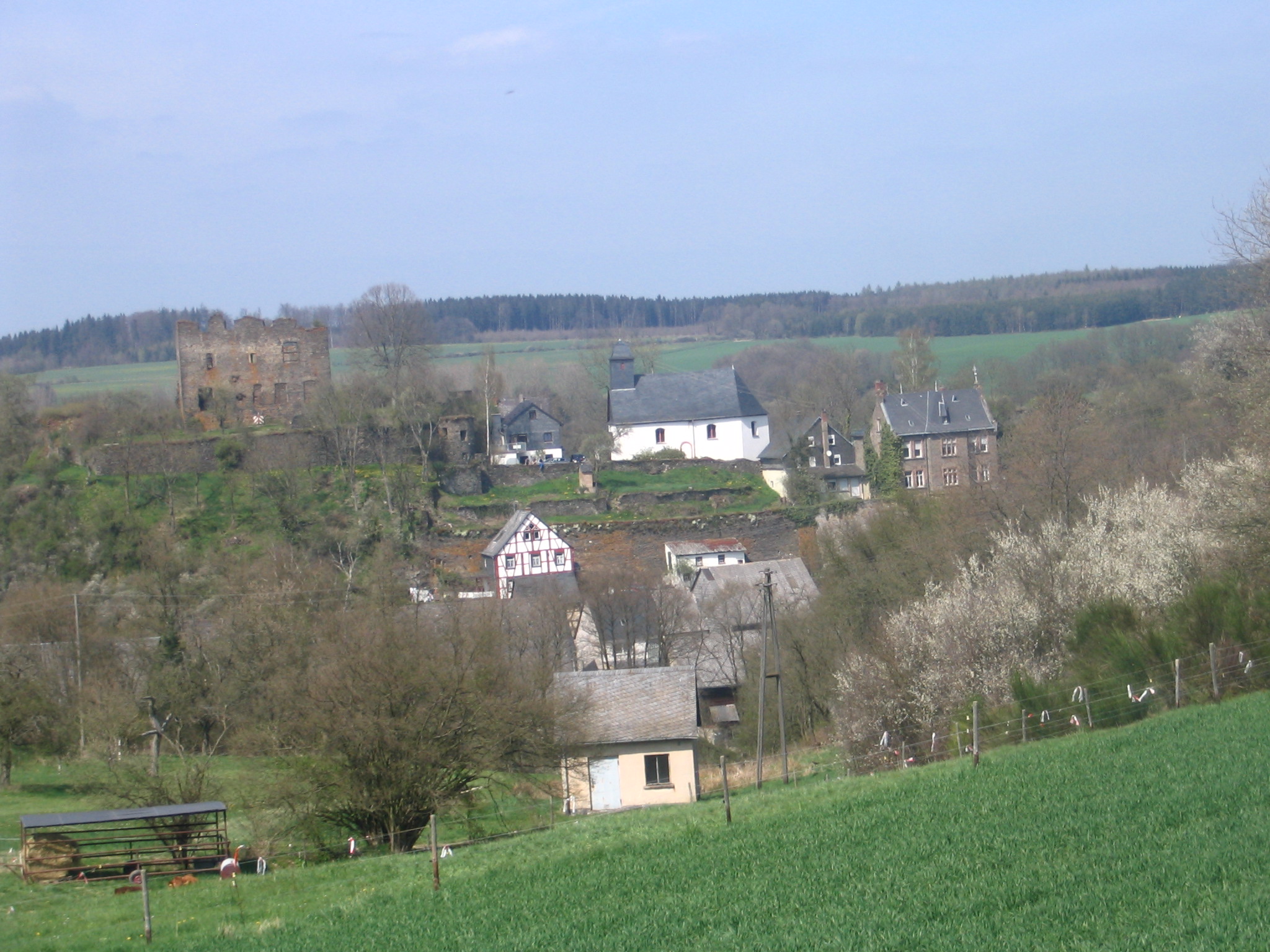
Dill is an – a Municipalities of Germany, municipality belonging to a , a kind of collective municipality – in the Rhein-Hunsrück-Kreis (Districts of Germany, district) in Rhineland-Palatinate, Germany. It belongs to the Kirchberg (Verbandsgemeinde), ''Verbandsgemeinde'' of Kirchberg, whose seat is in the Kirchberg, Rhein-Hunsrück, like-named town, and it is home to a castle ruin that bears the same name. Geography Location The municipality lies in the Hunsrück in the Dillerbach valley, which cuts some 30 m into the Hunsrück plateau as it flows along a bow round a mountain spur upon which sits the castle. Parts of the village also stretch across the spur's south slope and the saddle, which links the spur to the plateau to the east. Two kilometres to the village's east, the Sohrbach empties into the Kyrbach. Through the north of the municipal area runs the old Roman roads, Roman road, the so-called ''Via Ausonia'' (or ''Ausoniusstraße'' in German language, German). ... [...More Info...] [...Related Items...] OR: [Wikipedia] [Google] [Baidu] |
Kirchberg (Verbandsgemeinde)
Kirchberg is a ''Verbandsgemeinde'' ("collective municipality") in the Rhein-Hunsrück district, in Rhineland-Palatinate, Germany Germany, officially the Federal Republic of Germany, is a country in Central Europe. It lies between the Baltic Sea and the North Sea to the north and the Alps to the south. Its sixteen States of Germany, constituent states have a total popu .... Its seat is in Kirchberg. The ''Verbandsgemeinde'' Kirchberg consists of the following ''Ortsgemeinden'' ("local municipalities"): Verbandsgemeinden in Rhineland-Palatinate {{RheinHunsrück-geo-stub ... [...More Info...] [...Related Items...] OR: [Wikipedia] [Google] [Baidu] |
Hecken
Hecken is an – a Municipalities of Germany, municipality belonging to a , a kind of collective municipality – in the Rhein-Hunsrück-Kreis (Districts of Germany, district) in Rhineland-Palatinate, Germany. It belongs to the Kirchberg (Verbandsgemeinde), ''Verbandsgemeinde'' of Kirchberg, whose seat is in the Kirchberg, Rhein-Hunsrück, like-named town. Geography Location The municipality lies in the Hunsrück some 3 km south of the town of Kirchberg, on the edge of the Kyrbach valley. The name Hecken derives from the Old High German word ''hag'', meaning a hedged field or wood. Hecken's area is 3.89 km² and its elevation ranges from roughly 390 to 420 m above sea level. Roughly half the municipal area is wooded. History In 1291, Hecken had its first documentary mention when Count Johan von County of Sponheim, Sponheim gave his ''Burgmann'' from Kastellaun, Herrmann von Kestilun, leave to let his wife Sophia live at the estate in Hecken should anything u ... [...More Info...] [...Related Items...] OR: [Wikipedia] [Google] [Baidu] |

