|
Simping Island
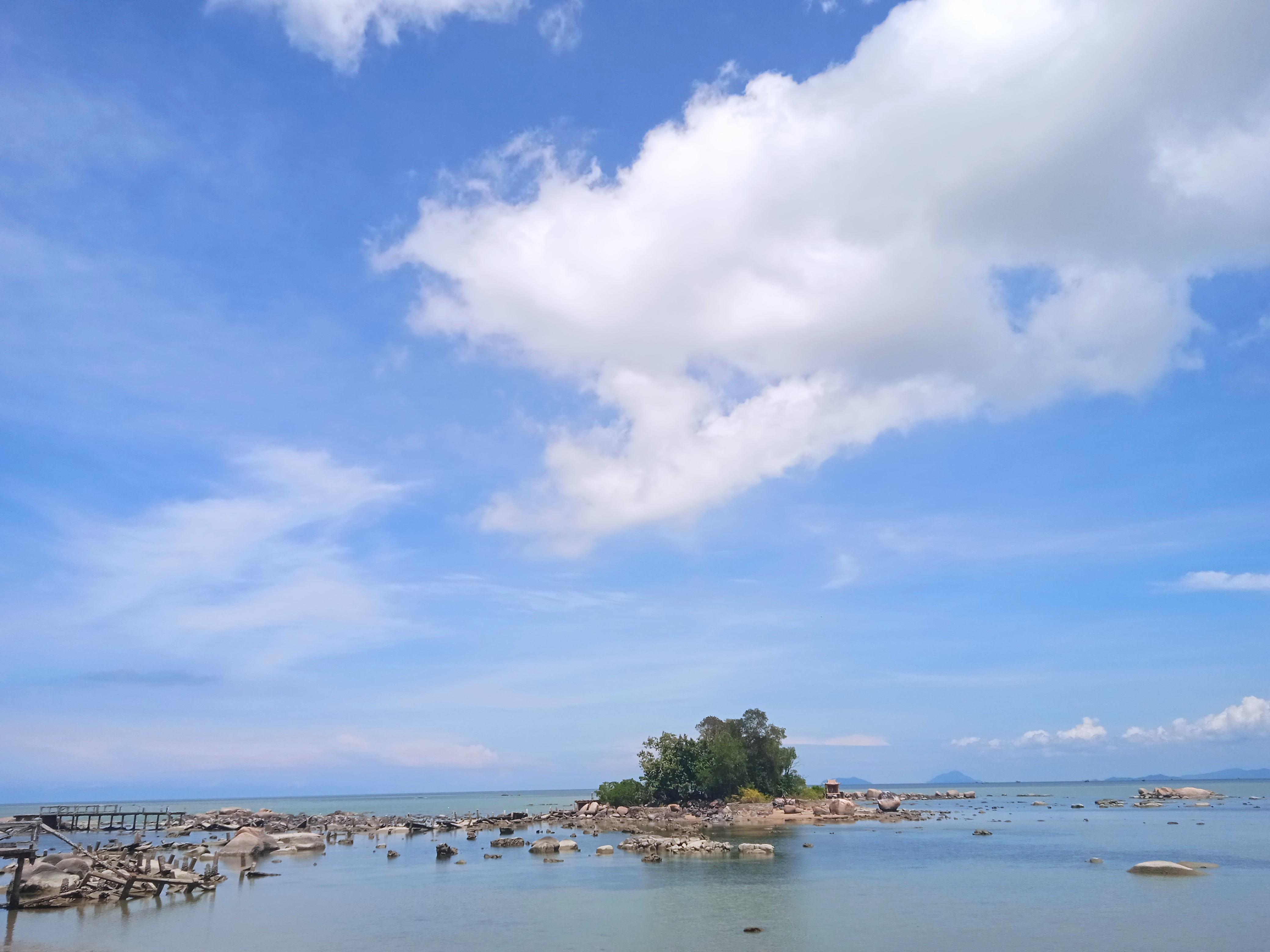
Simping (), located in Singkawang City, West Kalimantan West Kalimantan () is a province of Indonesia. It is one of five Indonesian provinces comprising Kalimantan, the Indonesian part of the island of Borneo. Its capital and largest city is Pontianak. It is bordered by East Kalimantan and Central ..., is the smallest island in the world with an area of about 0.5 hectares (2,033 square meters). This island was previously known as Kelapa Dua Island before getting the name Simping Island. Its status as the smallest island in the world has been recognized by the United Nations (UN), as stated on the sign on the bridge to the island. Simping Island is uninhabited and has a history of being inhabited before being abandoned due to severe abrasion. The island consists of sand, rocks, several trees, and a small temple used for praying by Chinese residents. The island can be access through a 100-meter walk across the bridge from Teluk Mak Jantu. The island offers beautiful views of ... [...More Info...] [...Related Items...] OR: [Wikipedia] [Google] [Baidu] |
Singkawang
Singkawang ( Dayak Salako: ''Sakawokng''), or San-Khew-Jong ( zh, c=山口洋, p=Shānkǒuyáng; Pha̍k-fa-sṳ: ), is a coastal city and port located in the province of West Kalimantan, on the island of Borneo in Indonesia. It is located at about 145 km north of Pontianak, the provincial capital, and is surrounded by the Pasi, Poteng, and Sakkok mountains. The name Singkawang is derived from the Salako language, which refers to a very wide area of swamps (all swamps). In addition, the ancestors of the Hakka Chinese community in Sakawokng also named this area in Hakka as "San-Khew-Jong" (Mount-Mouth-Sea), which means "A city located at the foot of a mountain near the sea and has a river that flows up to the mouth of the river (estuary)." The city was created on 21 June 2001 by separation from Bengkayang Regency. It is bordered to the east and south by Bengkayang Regency, to the west by the South China Sea, and to the north by Sambas Regency. It covers an area of 550.19& ... [...More Info...] [...Related Items...] OR: [Wikipedia] [Google] [Baidu] |
West Kalimantan
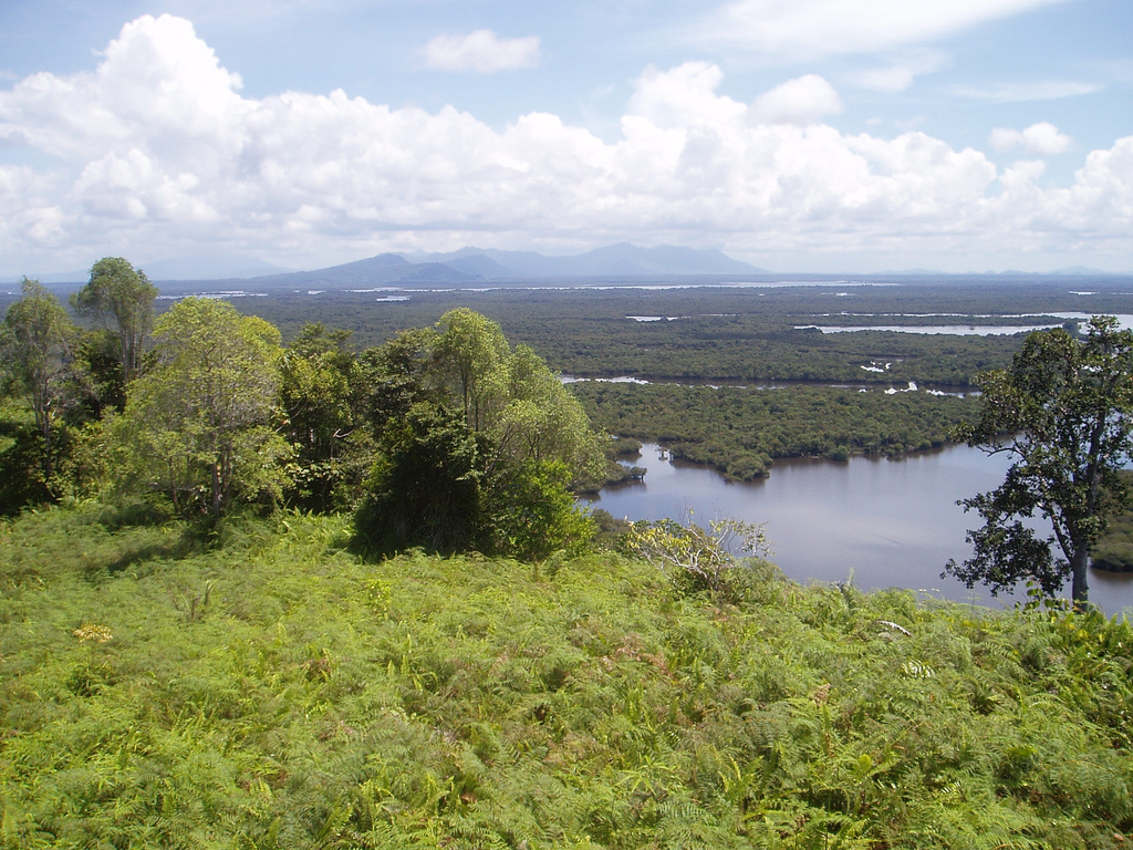
West Kalimantan () is a province of Indonesia. It is one of five Indonesian provinces comprising Kalimantan, the Indonesian part of the island of Borneo. Its capital and largest city is Pontianak. It is bordered by East Kalimantan and Central Kalimantan to the east, the Malaysian state of Sarawak to the north, and the Bangka Belitung Islands to the west and the Java Sea to the south. The province has an area of 147,037 km2, and had a population of 4,395,983 at the 2010 CensusBiro Pusat Statistik, Jakarta, 2011. and 5,414,390 at the 2020 Census;Badan Pusat Statistik, Jakarta, 2021. the official estimate as at mid 2023 was 5,623,328 (comprising 2,887,209 males and 2,736,119 females), and was projected to rise to 5,695,500 at mid 2024.Badan Pusat Statistik, Jakarta, 28 February 2024, ''Provinsi Kalimantan Barat Dalam Angka 2024'' (Katalog-BPS 1102001.61) Ethnic groups include the Dayak, Malay, Chinese, Javanese, Bugis, and Madurese. The borders of West Kalimantan roughl ... [...More Info...] [...Related Items...] OR: [Wikipedia] [Google] [Baidu] |
Pulau Simping 2021
*
*
{{disambiguation ...
Pulau may refer to: *Pulau virus (PuV), a novel strain of Nelson Bay orthoreovirus species *Pulau River, a river of West Papua and Papua New Guinea * ''Pulau'' (film), a 2023 Malaysian horror film See also *List of islands of Malaysia – "Pulau" means "island" in the Malay language *Pulao (other) *Palau (other) __NOTOC__ Palau is an island nation in the Pacific Ocean. Palau may also refer to: Places * Palau, Sardinia, a municipality in the Province of Sassari, Sardinia, Italy * Palaú, a town in Múzquiz, Coahuila, Mexico * Palau-de-Cerdagne * Palau-del ... [...More Info...] [...Related Items...] OR: [Wikipedia] [Google] [Baidu] |
Landforms Of West Kalimantan
A landform is a land feature on the solid surface of the Earth or other planetary body. They may be natural or may be anthropogenic (caused or influenced by human activity). Landforms together make up a given terrain, and their arrangement in the landscape is known as topography. Landforms include hills, mountains, canyons, and valleys, as well as shoreline features such as bays, peninsulas, and seas, including submerged features such as mid-ocean ridges, volcanoes, and the great oceanic basins. Physical characteristics Landforms are categorized by characteristic physical attributes such as elevation, slope, orientation, structure stratification, rock exposure, and soil type. Gross physical features or landforms include intuitive elements such as berms, cliffs, hills, mounds, peninsulas, ridges, rivers, valleys, volcanoes, and numerous other structural and size-scaled (e.g. ponds vs. lakes, hills vs. mountains) elements including various kinds of inland and oceanic waterbodi ... [...More Info...] [...Related Items...] OR: [Wikipedia] [Google] [Baidu] |
Islands Of Kalimantan
This is a list of the lists of islands in the world grouped by country, by continent, by body of water A body of water or waterbody is any significant accumulation of water on the surface of Earth or another planet. The term most often refers to oceans, seas, and lakes, but it includes smaller pools of water such as ponds, wetlands, or more rare ..., and by other classifications. For rank-order lists, see the other lists of islands below. Lists of islands by country or location Africa Antarctica Asia Europe North America Oceania South America Lists of islands by continent Lists of islands by body of water By ocean: By other bodies of water: List of ancient islands Other lists of islands External links Island Superlatives {{South America topic, List of islands of * ... [...More Info...] [...Related Items...] OR: [Wikipedia] [Google] [Baidu] |


