|
Siebold Typhoon
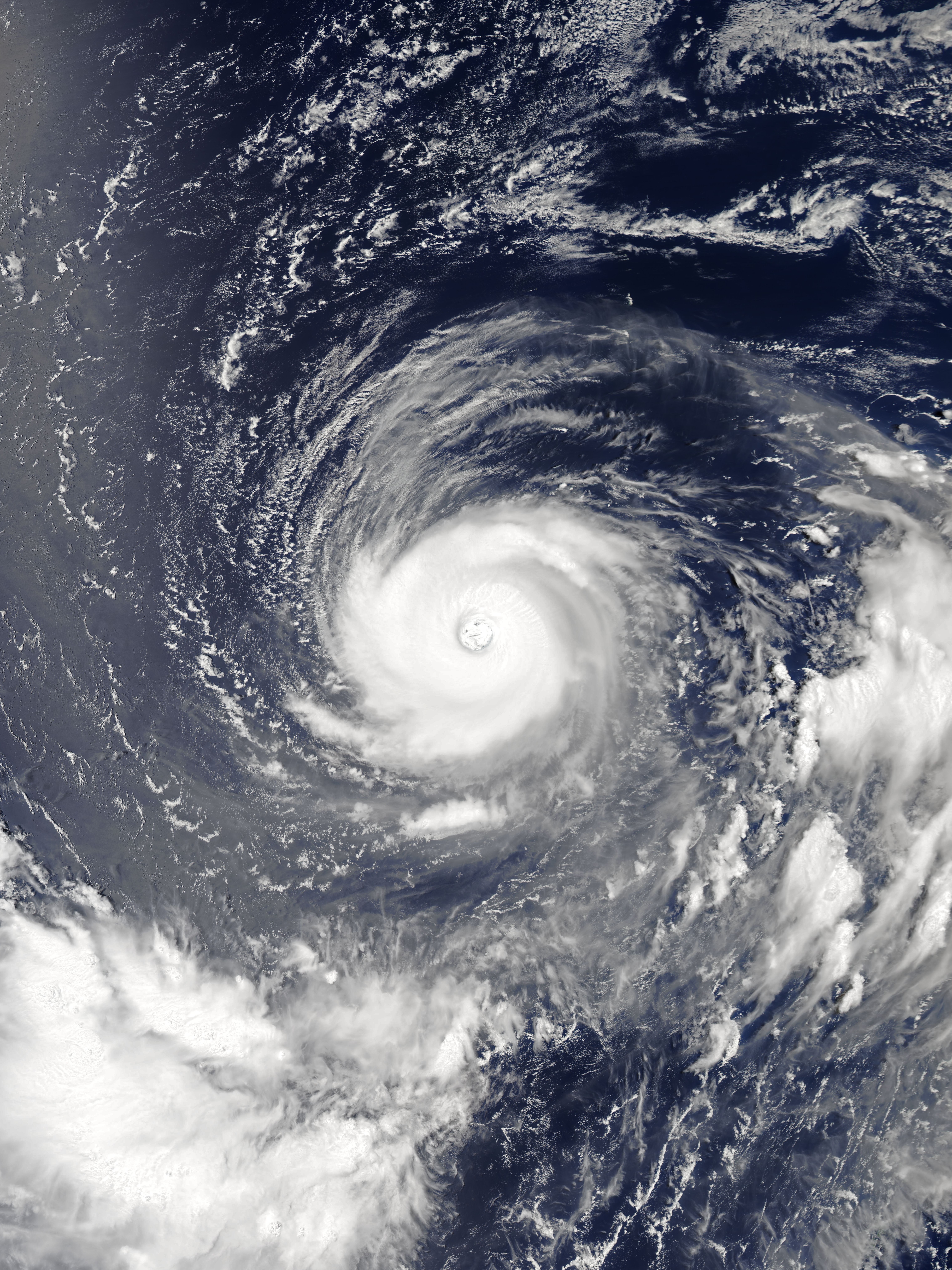
The Siebold typhoon () was a typhoon that struck Japan (northern Kyushu Island in particular) on September 17, 1828. There were 19,113 confirmed deaths, according to the official report. Overview According to the official report, the typhoon's estimated central pressure was 935hPa, with a maximum wind speed of 198 kilometres (123 mi). A storm surge occurred in the Ariake Sea and in Hakata Bay. The official death toll was 19,113, and 18,625 were injured. The heaviest damage occurred at Saga, Omura, Yanagawa, and Fukuoka. This is the worst storm in Japanese history. It was discovered that a map of Japan was taken out of the country when the ship that Philipp Franz von Siebold Philipp Franz Balthasar von Siebold (17 February 1796 – 18 October 1866) was a German physician, botanist and traveller. He achieved prominence by his studies of Japanese flora (plants), flora and fauna (animals), fauna and the introduction of ... was aboard ran aground due to this typhoon. The map was ... [...More Info...] [...Related Items...] OR: [Wikipedia] [Google] [Baidu] |
Typhoon
A typhoon is a tropical cyclone that develops between 180° and 100°E in the Northern Hemisphere and which produces sustained hurricane-force winds of at least . This region is referred to as the Northwestern Pacific Basin, accounting for almost one third of the world's tropical cyclones. For organizational purposes, the northern Pacific Ocean is divided into three regions: the eastern (North America to 140°W), central (140°W to 180°), and western (180° to 100°E). The Regional Specialized Meteorological Center (RSMC) for tropical cyclone forecasts is in Japan, with other tropical cyclone warning centres for the northwest Pacific in Hawaii (the Joint Typhoon Warning Center), the Philippines, and Hong Kong. Although the RSMC names each system, the main name list itself is coordinated among 18 countries that have territories threatened by typhoons each year. Within most of the northwestern Pacific, there are no official typhoon seasons as tropical cyclones form througho ... [...More Info...] [...Related Items...] OR: [Wikipedia] [Google] [Baidu] |
Japan
Japan is an island country in East Asia. Located in the Pacific Ocean off the northeast coast of the Asia, Asian mainland, it is bordered on the west by the Sea of Japan and extends from the Sea of Okhotsk in the north to the East China Sea in the south. The Japanese archipelago consists of four major islands—Hokkaido, Honshu, Shikoku, and Kyushu—and List of islands of Japan, thousands of smaller islands, covering . Japan has a population of over 123 million as of 2025, making it the List of countries and dependencies by population, eleventh-most populous country. The capital of Japan and List of cities in Japan, its largest city is Tokyo; the Greater Tokyo Area is the List of largest cities, largest metropolitan area in the world, with more than 37 million inhabitants as of 2024. Japan is divided into 47 Prefectures of Japan, administrative prefectures and List of regions of Japan, eight traditional regions. About three-quarters of Geography of Japan, the countr ... [...More Info...] [...Related Items...] OR: [Wikipedia] [Google] [Baidu] |
Kyushu Island
is the third-largest island of Japan's four main islands and the most southerly of the four largest islands (i.e. excluding Okinawa and the other Ryukyu (''Nansei'') Islands). In the past, it has been known as , and . The historical regional name referred to Kyushu and its surrounding islands. Kyushu has a land area of and a population of 14,311,224 in 2018. In ancient times, there is a theory that Kyushu was home to its own independent dynasty, where a unique, southern-influenced culture and tradition distinct from that of Honshu flourished. In the 8th-century Taihō Code reforms, Dazaifu was established as a special administrative term for the region. Geography The island is mountainous, and Japan's most active volcano, Mount Aso at , is on Kyūshū. There are many other signs of tectonic activity, including numerous areas of hot springs. The most famous of these are in Beppu, on the east shore, and around Mt. Aso in central Kyūshū. The island is separated from Ho ... [...More Info...] [...Related Items...] OR: [Wikipedia] [Google] [Baidu] |
Ariake Sea
The is a body of salt water surrounded by Fukuoka, Saga, Nagasaki, and Kumamoto Prefectures, all of which lie on the island of Kyūshū in Japan. It is the largest bay in Kyūshū. Its deepest point is only about 50 meters (165 ft) deep, and extreme tides exceed , covering roughly . Isahaya Bay is a branch of the Ariake Sea. Across the Amakusa Islands lies the Yatsushiro Sea. Many harbors are located on the coast of the Ariake Sea. Among them are Misumi (in the city of Uki, Kumamoto Prefecture), Shimabara ( Shimabara, Nagasaki), Taira ( Unzen, Nagasaki), Nagasu ( Nagasu, Kumamoto), Kumamoto ( Kumamoto, Kumamoto), Miike ( Omuta, Fukuoka), Kuchinotsu ( Minamishimabara, Nagasaki), and Oniike ( Amakusa, Kumamoto). Five ferry routes cross the Ariake Sea. Various species of fauna, including mudskippers, pen shells (''Atrina pectinata''), and fiddler crabs, live in the Ariake Sea. In autumn, the '' Suaeda'' halophyte ''shichimenso'' ('' Suaeda japonica'') grows along the shore. ... [...More Info...] [...Related Items...] OR: [Wikipedia] [Google] [Baidu] |
Hakata Bay
is a bay in the northwestern part of Fukuoka city, on the Japanese island of Kyūshū. It faces the Tsushima Strait, and features beaches and a port, though parts of the bay have been reclaimed in the expansion of the city of Fukuoka. The bay is near the site of the Mongol invasions of Japan of 1274 and 1281; both invasions are sometimes referred to as the "Battle of Hakata Bay." Geography The Bay is defined by shoal Umi-no-nakamichi and tombolo Shika-no-shima (Shika Island) to the north, and ''Genkai-jima'' ( Genkai Island) to the northwest, and the Itoshima Peninsula to the west. Five wards of Fukuoka city border on the bay, which is sometimes labeled "Fukuoka Bay" on maps. Sometimes, the bay is divided into Hakata, Fukuoka, and Imazu Bays, though for simplicity's sake, the term "Hakata Bay" is commonly used as a catch-all to refer to all three. The bay is roughly 10 km from north to south, and 20 km from east to west, covering an area of roughly 133 km2. ... [...More Info...] [...Related Items...] OR: [Wikipedia] [Google] [Baidu] |
Saga (city)
270px, Saga City Hall is the capital city of Saga Prefecture, located on the island of Kyushu, Japan. , the city had an estimated population of 227,138 in 104354 households, and a population density of 530 persons per km2. The total area of the city is . Geography Saga City is located in the southeast portion of Saga Prefecture. After the 2005 merger the city became very long north to south. It now borders the Ariake Sea to the south and Fukuoka Prefecture to the southeast and north. The northern half of the city is mountainous and undulating, and is part of the Sefuri Mountains, which are part of the Chikushi Mountains that run east to west through northern Kyushu. The southern half of the city is the Saga Plain, which is part of the western part of the Chikushi Plain that stretches along the north shore of the Ariake Sea, and is a low-lying area with almost no undulations. The urban area is located near the center of the Saga Plain. Mergers with surrounding towns and villages ... [...More Info...] [...Related Items...] OR: [Wikipedia] [Google] [Baidu] |
Ōmura, Nagasaki
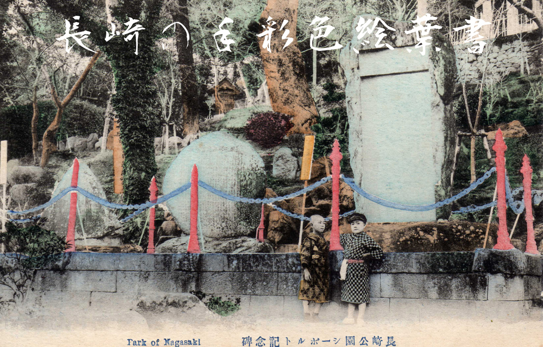
270px , Ōmura park is a city located in Nagasaki Prefecture, Japan. As of June 1, 2024, the city had an estimated population of 99,337, and a population density of 780 people per km2. The total area of the city is History Ōmura is located in former Hizen Province. It developed in the Edo Period as the castle town of Ōmura Domain, ruled by the local Ōmura clan for over 900 years. It was the site of considerable foreign trade and missionary activity during the late Muromachi period, and the Catholic saint Marina de Omura hails from this city. Due to its proximity to the trading settlement at Dejima in Nagasaki, was one of the first areas of Japan to re-open to foreign contact after the end of the national seclusion policy after the Meiji restoration. In the opera Madama Butterfly, set in nearby Nagasaki, the place name ''Omara'' in the line "ed alla damigella Butterfly del quartiere d'Omara Nagasaki" probably refers to Ōmura. From 1868-1945, Ōmura was host to numerous mi ... [...More Info...] [...Related Items...] OR: [Wikipedia] [Google] [Baidu] |
Yanagawa, Fukuoka
file:Yanagawa City Hall 2021.JPG, 270px, Yanagawa City Hall is a Cities of Japan, city located in Fukuoka Prefecture, Japan. , the city had an estimated population of 62,268 in 26426 households, and a population density of 810 persons per km2. The total area of the city is . Geography Yanagawa is located in the southwestern part of the Chikugo region in the southern part of Fukuoka Prefecture, approximately 100 kilometers south-southwest of Kitakyushu City, approximately 50 kilometers south of Fukuoka City, approximately 20 kilometers southwest of Kurume City. The city is in the shape of a rhombus or diamond, measuring 12 kilometers from north-to-south and 11 kilometers from east-to-west, Almost all of the city is in the flatlands of the Chikushi Plain, with the northeastern two-thirds of the city consisting of alluvial plains and the southwest one-third consisting of reclaimed land. The reclaimed land was gradually developed from the Edo period into the modern era, so the recl ... [...More Info...] [...Related Items...] OR: [Wikipedia] [Google] [Baidu] |
Fukuoka
is the List of Japanese cities by population, sixth-largest city in Japan and the capital city of Fukuoka Prefecture, Japan. The city is built along the shores of Hakata Bay, and has been a center of international commerce since ancient times. The area has long been considered the gateway to the country, as it is the nearest point among Japan's main islands to the Asian mainland. Although humans occupied the area since the Jomon period, some of the earliest settlers of the Yayoi period arrived in the Fukuoka area. The city rose to prominence during the Yamato period. Because of the cross-cultural exposure, and the relatively great distance from the social and political centers of Kyoto, Osaka, and later, Edo (Tokyo), Edo (Tokyo), Fukuoka gained a distinctive local culture and dialect that has persisted to the present. Fukuoka is the most populous city on Kyushu, Kyūshū island, followed by Kitakyushu. It is the largest city and metropolitan area west of Keihanshin. The city was ... [...More Info...] [...Related Items...] OR: [Wikipedia] [Google] [Baidu] |
Ship
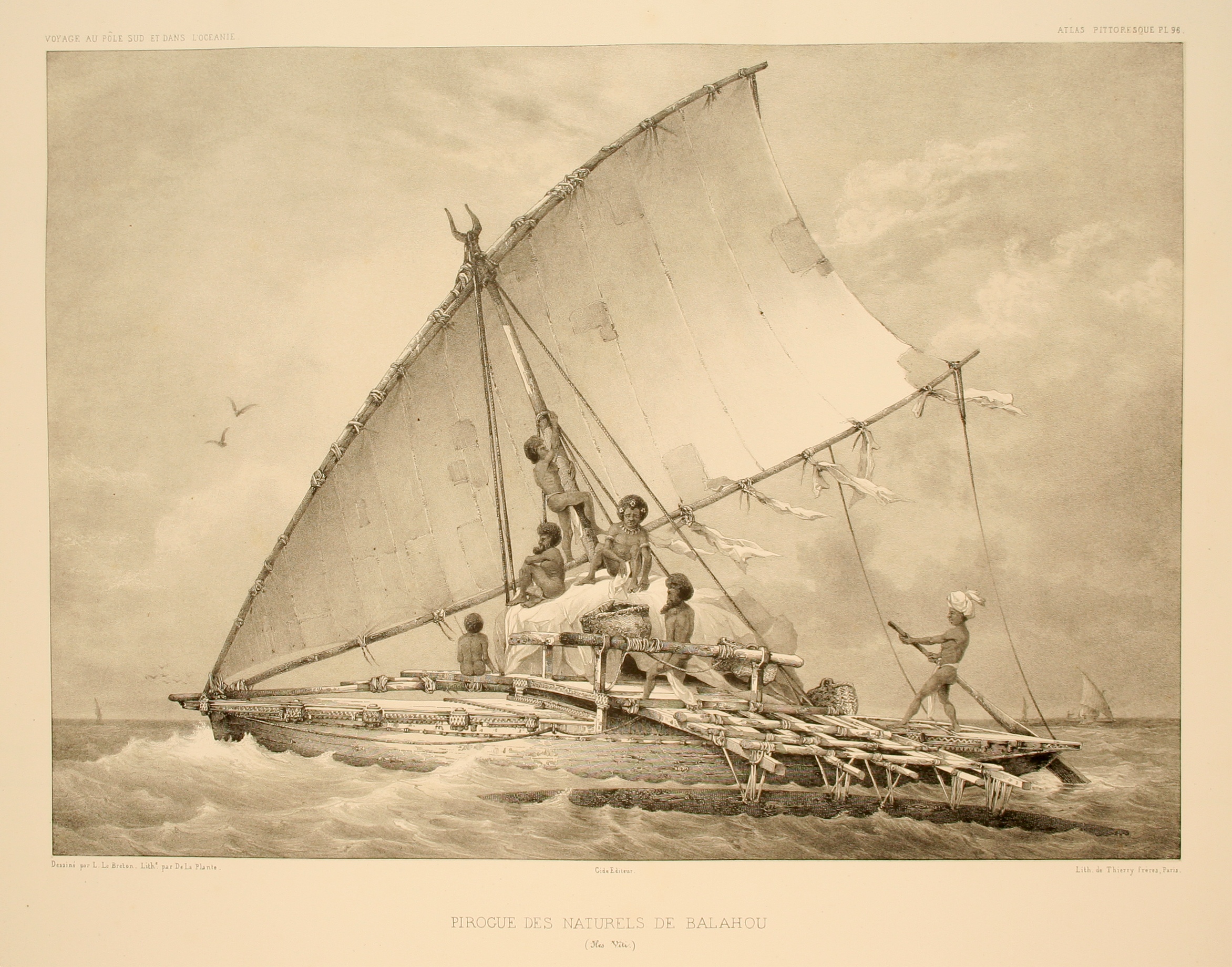
A ship is a large watercraft, vessel that travels the world's oceans and other Waterway, navigable waterways, carrying cargo or passengers, or in support of specialized missions, such as defense, research and fishing. Ships are generally distinguished from boats, based on size, shape, load capacity and purpose. Ships have supported Geographic exploration, exploration, Global trade, trade, Naval warfare, warfare, Human migration, migration, colonization, and science. Ship transport is responsible for the largest portion of world commerce. The word ''ship'' has meant, depending on the era and the context, either just a large vessel or specifically a Full-rigged ship, ship-rigged sailing ship with three or more masts, each of which is Square rig, square-rigged. The earliest historical evidence of boats is found in Egypt during the 4th millennium BCE. In 2024, ships had a global cargo capacity of 2.4 billion tons, with the three largest classes being ships carrying dry bulk (43%), ... [...More Info...] [...Related Items...] OR: [Wikipedia] [Google] [Baidu] |
Philipp Franz Von Siebold
Philipp Franz Balthasar von Siebold (17 February 1796 – 18 October 1866) was a German physician, botanist and traveller. He achieved prominence by his studies of Japanese flora (plants), flora and fauna (animals), fauna and the introduction of Western medicine in Japan. He was the father of the first female Japanese doctor educated in Western medicine, Kusumoto Ine. Career Early life Born into a family of doctors and professors of medicine in Würzburg (then in the Prince-Bishopric of Würzburg, later part of Bavaria), von Siebold initially studied medicine at the University of Würzburg from November 1815, where he became a member of the German Student Corps, Corps Moenania Würzburg. One of his professors was Franz Xaver Heller (1775–1840), author of the ' ("Flora of the Grand Duchy of Würzburg", 1810–1811). Ignaz Döllinger (1770–1841), his professor of anatomy and physiology, however, most influenced him. Döllinger was one of the first professors to under ... [...More Info...] [...Related Items...] OR: [Wikipedia] [Google] [Baidu] |
Siebold Incident
Philipp Franz Balthasar von Siebold (17 February 1796 – 18 October 1866) was a German physician, botanist and traveller. He achieved prominence by his studies of Japanese flora and fauna and the introduction of Western medicine in Japan. He was the father of the first female Japanese doctor educated in Western medicine, Kusumoto Ine. Career Early life Born into a family of doctors and professors of medicine in Würzburg (then in the Prince-Bishopric of Würzburg, later part of Bavaria), von Siebold initially studied medicine at the University of Würzburg from November 1815, where he became a member of the Corps Moenania Würzburg. One of his professors was Franz Xaver Heller (1775–1840), author of the ' ("Flora of the Grand Duchy of Würzburg", 1810–1811). Ignaz Döllinger (1770–1841), his professor of anatomy and physiology, however, most influenced him. Döllinger was one of the first professors to understand and treat medicine as a natural science. Von Si ... [...More Info...] [...Related Items...] OR: [Wikipedia] [Google] [Baidu] |


