|
Shimosuwa-juku
was the twenty-ninth of the sixty-nine stations of the Nakasendō, as well as being the ending location of the Kōshū Kaidō. It is located in the present-day town of Shimosuwa, Suwa District, Nagano Prefecture, Japan. History First built around 1601, Shimosawa-shuku flourished as a post town because it was located between two difficult mountain passes, Wada Pass and Shiojiri Pass. The town's onsens made it a heavily used rest area.Shimosuwa-shuku Aruki-net . Shimosuwa Chamber of Commerce. Accessed July 16, 2007. It also served as the entrance to the . Records show that in 1843, Shimosuwa-juku had 1,345 residents and 315 buildings. Among the building, there was one '' |
Honjin
The ''honjin'' at Ōhara-shuku.html" ;"title="Inaba Kaidō's Ōhara-shuku">Inaba Kaidō's Ōhara-shuku. is the Japanese word for an inn for government officials, generally located in post stations (''shukuba'') during the later part of the Edo period. Evolution of ''Honjin'' Originally, ''honjin'' were places from which generals directed battles and, therefore, were fleeting in nature. However, as commanders began to transform the ''honjin'' into temporary lodgings during battle and travel, ''honjin'' came to be places where ''daimyō'' and other representatives of the shogunate, including ''hatamoto'', '' monzeki'', etc., were allowed to stay during their travels. Many of the ''honjin'' were actually personal residences of village and town leaders. As such, they received official designations from the government and expanded their residences to include walls, gates and other features. Because of their cooperation, the owners of the ''honjin'' also gained various special rights. ... [...More Info...] [...Related Items...] OR: [Wikipedia] [Google] [Baidu] |
Wada-shuku
Hiroshige's print of Wada-shuku, part of the series ''The Sixty-nine Stations of the Kiso Kaidō'' was the twenty-eighth of the 69 Stations of the Nakasendō, sixty-nine stations of the Nakasendō highway connecting Edo with Kyoto during the Edo period. It was located in the present-day town of Nagawa, in the Chiisagata District of Nagano Prefecture, Japan. History Located at an elevation of , at the entrance to the Wada Pass, which was considered one of the most difficult portions of the highway because of its steepness. Because Shimosuwa-juku, the next post station, was over away, Wada-shuku flourished with over 150 buildings to accommodate all of the travelers and their pack animals. Wada-shuku was approximately 49 ''ri'', 24 chō from the starting point of the Nakasendō at Nihonbashi, or about 195 kilometers. Per an 1843 guidebook issued by the , the town had one ''honjin'', two''waki-honjin,'' and 28 ''hatago'', with a total resident population of 522 people. Most of ... [...More Info...] [...Related Items...] OR: [Wikipedia] [Google] [Baidu] |
69 Stations Of The Nakasendō
The are the rest areas along the Nakasendō, which ran from Nihonbashi in Edo (modern-day Tokyo) to Sanjō Ōhashi in Kyoto.Yama to Keikoku Publishing (2006). Nakasendō o Aruku (Revised ed.). Osaka: Yama to Keikoku Publishing. .Nakasendō Jōhō . NEC Corporation. Accessed August 18, 2007. The route stretched approximately and was an alternate to the Tōkaidō. 
|
Nakasendō
The , also called the ,Richard Lane, ''Images from the Floating World'' (1978) Chartwell, Secaucus ; pg. 285 was one of the five routes of the Edo period, and one of the two that connected Edo (modern-day Tokyo) to Kyoto in Japan. There were 69 stations (staging-posts) between Edo and Kyoto, crossing through Musashi, Kōzuke, Shinano, Mino and Ōmi provinces.Nakasendou Jouhou . NEC Corporation. Retrieved August 18, 2007. In addition to Tokyo and Kyoto, the Nakasendō runs through the modern-day prefectures of Saitama, Gunma, Nagano [...More Info...] [...Related Items...] OR: [Wikipedia] [Google] [Baidu] |
Kōshū Kaidō
The was one of the five routes of the Edo period. It was built to connect Edo (modern-day Tokyo) with Kai Province in modern-day Yamanashi Prefecture, Japan. The route continues from there to connect with the Nakasendō's Shimosuwa-shuku in Nagano Prefecture.Information on Everyday Living for Foreign Residents of Shinjuku City . Shinjuku City Office. Accessed November 28, 2007. Many feudal lords from made use of the road during '''', including those from the [...More Info...] [...Related Items...] OR: [Wikipedia] [Google] [Baidu] |
Shimosuwa, Nagano
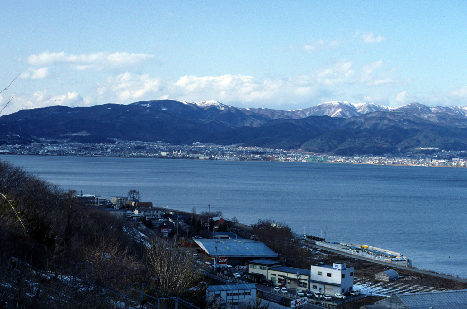
is a town located in Nagano Prefecture, Japan. , the town had an estimated population of 20,055 in 8864 households, and a population density of 300 persons per km². The total area of the town is . Geography Shimosuwa is located in central Nagano Prefecture, approximately 50 kilometers from the prefectural capital of Nagano city and 200 kilometers from Tokyo. The town is bordered on the south by Lake Suwa. The town has an altitude of 760 meters at the town center, and is 82% forested. Surrounding municipalities *Nagano Prefecture ** Matsumoto ** Suwa ** Okaya ** Nagawa Climate The town has a humid continental climate characterized by warm and humid summers, and cold winters (Köppen climate classification ''Dfb''). The average annual temperature in Shimosuwa is 7.3 °C. The average annual rainfall is 1540 mm with September as the wettest month. The temperatures are highest on average in August, at around 20.2 °C, and lowest in January, at around -5.1 ° ... [...More Info...] [...Related Items...] OR: [Wikipedia] [Google] [Baidu] |
Suwa District, Nagano
is a district located in Nagano Prefecture, Japan. As of 2003, the district has an estimated population of 46,162 and a density of 181.18 persons per km2. The total area is 254.79 km2. Towns and villages *Hara Hara may refer to: Art and entertainment * Hara (band), a Romanian pop-band * ''Hara'' (film), a 2014 Kannada-language drama film * ''Hara'' (sculpture), a 1989 artwork by Deborah Butterfield * Goo Hara (1991-2019), South Korean idol singer ... * Fujimi * Shimosuwa Districts in Nagano Prefecture {{Nagano-geo-stub ... [...More Info...] [...Related Items...] OR: [Wikipedia] [Google] [Baidu] |
Nagano Prefecture
is a landlocked prefecture of Japan located in the Chūbu region of Honshū. Nagano Prefecture has a population of 2,052,493 () and has a geographic area of . Nagano Prefecture borders Niigata Prefecture to the north, Gunma Prefecture to the northeast, Saitama Prefecture to the east, Yamanashi Prefecture to the southeast, Shizuoka Prefecture and Aichi Prefecture to the south, and Gifu Prefecture and Toyama Prefecture to the west. Nagano is the capital and largest city of Nagano Prefecture, with other major cities including Matsumoto, Ueda, and Iida. Nagano Prefecture has impressive highland areas of the Japanese Alps, including most of the Hida Mountains, Kiso Mountains, and Akaishi Mountains which extend into the neighbouring prefectures. The abundance of mountain ranges, natural scenic beauty, and rich history has gained Nagano Prefecture international recognition as a world-class winter sports tourist destination, including hosting the 1998 Winter Olympics and a n ... [...More Info...] [...Related Items...] OR: [Wikipedia] [Google] [Baidu] |
Japan
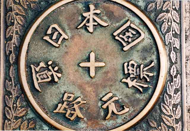
Japan ( ja, 日本, or , and formally , ''Nihonkoku'') is an island country in East Asia. It is situated in the northwest Pacific Ocean, and is bordered on the west by the Sea of Japan, while extending from the Sea of Okhotsk in the north toward the East China Sea, Philippine Sea, and Taiwan in the south. Japan is a part of the Ring of Fire, and spans an archipelago of 6852 islands covering ; the five main islands are Hokkaido, Honshu (the "mainland"), Shikoku, Kyushu, and Okinawa. Tokyo is the nation's capital and largest city, followed by Yokohama, Osaka, Nagoya, Sapporo, Fukuoka, Kobe, and Kyoto. Japan is the eleventh most populous country in the world, as well as one of the most densely populated and urbanized. About three-fourths of the country's terrain is mountainous, concentrating its population of 123.2 million on narrow coastal plains. Japan is divided into 47 administrative prefectures and eight traditional regions. The Greater Tokyo Ar ... [...More Info...] [...Related Items...] OR: [Wikipedia] [Google] [Baidu] |
Onsen
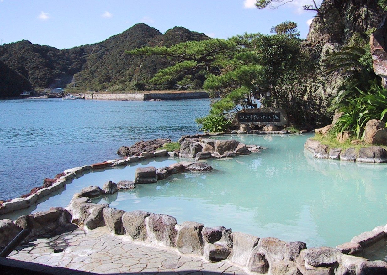
In Japan, are the country's hot springs and the bathing facilities and traditional inns around them. As a volcanically active country, Japan has many onsens scattered throughout all of its major islands. There are approximately 25,000 hot spring sources throughout Japan that provide hot mineral water to about 3,000 genuine onsen establishments. Onsens come in many types and shapes, including and . Baths may be either publicly run by a municipality or privately, often as part of a hotel, ''ryokan'', or . The presence of an onsen is often indicated on signs and maps by the symbol ♨ or the kanji (''yu'', meaning "hot water"). Sometimes the simpler hiragana character ゆ (''yu''), understandable to younger children, is used. Traditionally, onsens were located outdoors, although many inns have now built indoor bathing facilities as well. Nowadays, as most households have their own bath, the number of traditional public baths has decreased, but the number of sightseeing ho ... [...More Info...] [...Related Items...] OR: [Wikipedia] [Google] [Baidu] |


