|
Shihmen Dam
Shihmen Dam ( zh, c=石門水庫, l=Stone Gate Dam; also spelled Shimen or Shihman) is a major rock fill dam across the Dahan River in northern Taoyuan City. It forms the Shihmen Reservoir ( zh, t=石門水庫, labels=no), Taiwan's third largest reservoir or artificial lake. It provides irrigation in Taoyuan, flood control for the Taipei Basin, and hydroelectricity and domestic water supply for more than three million people in northern Taiwan. Completed in 1964 after nine years of construction, Shihmen was Taiwan's first multi-purpose water project and a major step towards the island's economic independence after World War II. Year-round water releases from the dam enabled additional rice harvests and doubled Taoyuan's annual agricultural output, while the reservoir became a tourist destination due to its scenery and plentiful fisheries. However, the project was criticized for its high cost and its impact on local communities, as more than 2,000 people were displaced to make way ... [...More Info...] [...Related Items...] OR: [Wikipedia] [Google] [Baidu] |
Fuxing District, Taoyuan
Fuxing District ( Atayal: Pyasan; ), formerly known as Fuxing Township or Fu-Hsing Township () is a mountain indigenous district in eastern Taoyuan City, Taiwan. The main population is the Atayal people of the Taiwanese aborigines. Lala Mountain (拉拉山) is a major feature of Fuxing, and the Shimen Reservoir, formed by Shimen Dam, is a popular nearby site. Fuxing District is, by area, the largest district in Taoyuan City. History Under Japanese rule, Fuxing District was classified as Aboriginal Land (蕃地). In August 2015, the Heliu community in the district were completely buried by landslide triggered by Typhoon Soudelor. Geography * Area: 350.78 km2 (135.4 sq mi) * Population Population is a set of humans or other organisms in a given region or area. Governments conduct a census to quantify the resident population size within a given jurisdiction. The term is also applied to non-human animals, microorganisms, and pl ...: 13,089 people (March 2023) Admin ... [...More Info...] [...Related Items...] OR: [Wikipedia] [Google] [Baidu] |
Typhoon
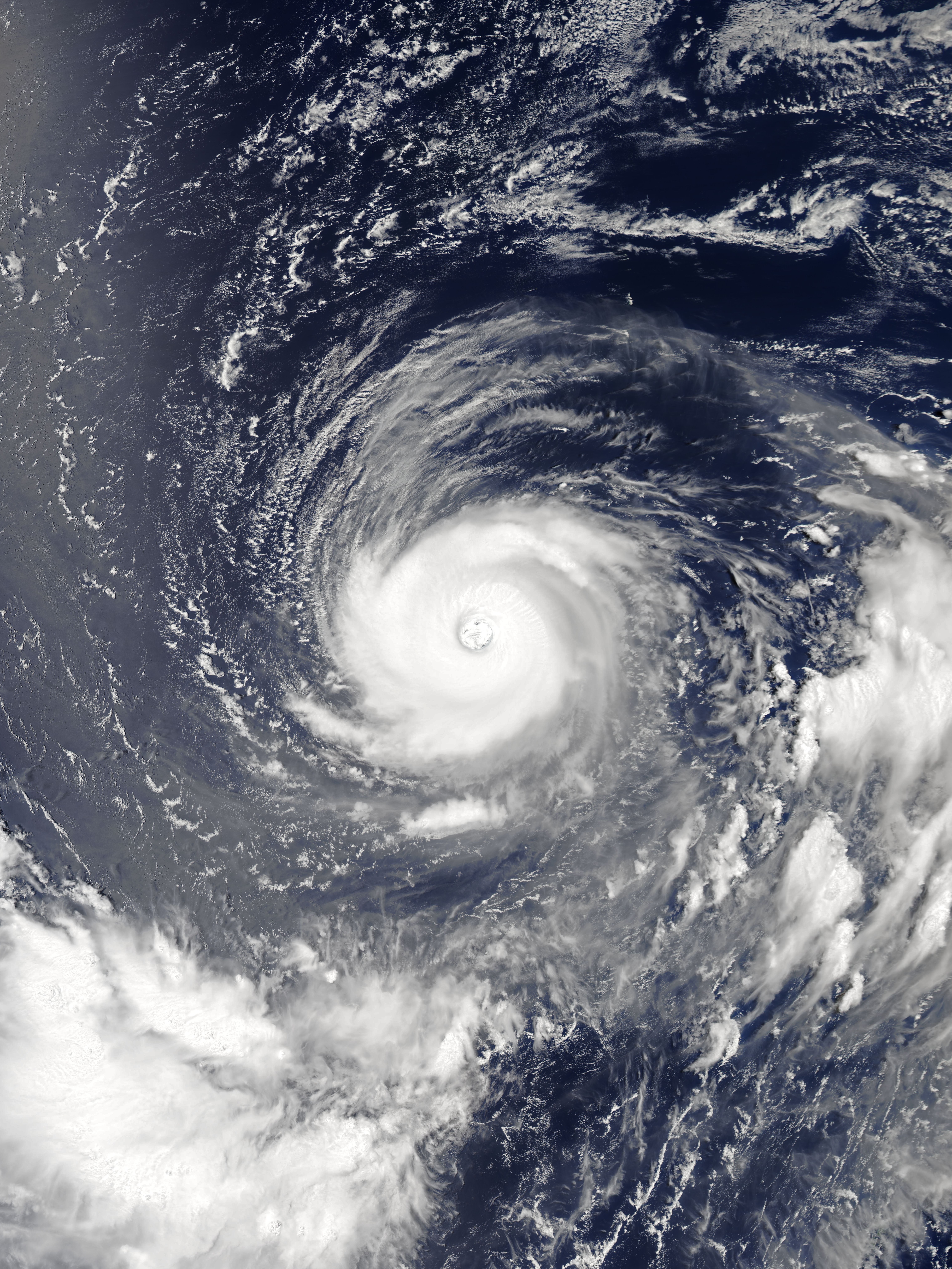
A typhoon is a tropical cyclone that develops between 180° and 100°E in the Northern Hemisphere and which produces sustained hurricane-force winds of at least . This region is referred to as the Northwestern Pacific Basin, accounting for almost one third of the world's tropical cyclones. For organizational purposes, the northern Pacific Ocean is divided into three regions: the eastern (North America to 140°W), central (140°W to 180°), and western (180° to 100°E). The Regional Specialized Meteorological Center (RSMC) for tropical cyclone forecasts is in Japan, with other tropical cyclone warning centres for the northwest Pacific in Hawaii (the Joint Typhoon Warning Center), the Philippines, and Hong Kong. Although the RSMC names each system, the main name list itself is coordinated among 18 countries that have territories threatened by typhoons each year. Within most of the northwestern Pacific, there are no official typhoon seasons as tropical cyclones form througho ... [...More Info...] [...Related Items...] OR: [Wikipedia] [Google] [Baidu] |
Typhoon Gloria (Oniang)
The 1963 Pacific typhoon season has no official bounds; it ran year-round in 1963, but most tropical cyclones tend to form in the northwestern Pacific Ocean between June and December. These dates conventionally delimit the period of each year when most tropical cyclones form in the northwestern Pacific Ocean. The scope of this article is limited to the Pacific Ocean, north of the equator and west of the International Date Line. Storms that form east of the date line and north of the equator are called hurricanes; see 1963 Pacific hurricane season. Tropical Storms formed in the entire west pacific basin were assigned a name by the Joint Typhoon Warning Center. Tropical depressions in this basin have the "W" suffix added to their number. This is also the first season in which the Philippine Weather Bureau (which became the Philippine Atmospheric, Geophysical and Astronomical Services Administration or PAGASA in 1972) assigned local names to tropical depressions that enter or form i ... [...More Info...] [...Related Items...] OR: [Wikipedia] [Google] [Baidu] |
Taiwan Formosa Vintage History Other Places Dams Taipics003
Taiwan, officially the Republic of China (ROC), is a country in East Asia. The main geography of Taiwan, island of Taiwan, also known as ''Formosa'', lies between the East China Sea, East and South China Seas in the northwestern Pacific Ocean, with the China, People's Republic of China (PRC) to the northwest, Japan to the northeast, and the Philippines to the south. It has an area of , with mountain ranges dominating the eastern two-thirds and plains in the western third, where its Urbanization by country, highly urbanized population is concentrated. The combined Free area of the Republic of China, territories under ROC control consist of list of islands of Taiwan, 168 islands in total covering . The Taipei–Keelung metropolitan area, largest metropolitan area is formed by Taipei (the capital), New Taipei City, and Keelung. With around 23.9 million inhabitants, Taiwan is among the List of countries and dependencies by population density, most densely populated countries. Tai ... [...More Info...] [...Related Items...] OR: [Wikipedia] [Google] [Baidu] |
Chen Cheng
Chen Cheng (; ; January 4, 1898 – March 5, 1965), courtesy name Tsi-siou (), was a Chinese political and military leader, and one of the main commanders of the National Revolutionary Army during the Second Sino-Japanese War and the Chinese Civil War, he led the Tsotanhui Clique. After Retreat of the government of Republic of China to Taiwan, moving to Taiwan at the end of the civil war, he served as the governor of Taiwan Province, Vice President of the Republic of China, vice president, and premier of the Republic of China (ROC). He represented the ROC in visits to the United States and helped to initiate land reforms and tax reduction programs that caused communism to become unattractive in Taiwan since peasants were able to own land. Early life Chen Cheng was born in Qingtian County, Zhejiang, graduated from Baoding Military Academy in 1922, and entered Whampoa Military Academy two years later. It was there that he first met Chiang Kai-shek, Commandant of the Academy. Lat ... [...More Info...] [...Related Items...] OR: [Wikipedia] [Google] [Baidu] |
New Taiwan Dollar
The New Taiwan dollar (code: TWD; symbol: NT$, also abbreviated as NT), or simply the Taiwan dollar, is the official currency of the Republic of China (Taiwan). Usually, the $ sign precedes the amount, but NT$ is used to distinguish from other currencies named dollar. The New Taiwan dollar has been the currency of the island of Taiwan since 1949, when it replaced the old Taiwan dollar, at a rate of 40,000 old dollars per one new dollar. The base unit of the New Taiwan dollar is called a yuan (), subdivided into ten chiao () or 100 fen (), although in practice neither chiao nor fen are used. There are a variety of alternative names for the units in Taiwan. The unit of the dollar is typically informally written with the simpler equivalent character as , except when writing it for legal transactions such as at the bank, when it has to be written as the homophonous . Colloquially, the currency unit is called both (''yuán'', literally "circle") and (''kuài'', literally ... [...More Info...] [...Related Items...] OR: [Wikipedia] [Google] [Baidu] |
Typhoon Wendy (1963)
The 1963 Pacific typhoon season has no official bounds; it ran year-round in 1963, but most tropical cyclones tend to form in the northwestern Pacific Ocean between June and December. These dates conventionally delimit the period of each year when most tropical cyclones form in the northwestern Pacific Ocean. The scope of this article is limited to the Pacific Ocean, north of the equator and west of the International Date Line. Storms that form east of the date line and north of the equator are called hurricanes; see 1963 Pacific hurricane season. Tropical Storms formed in the entire west pacific basin were assigned a name by the Joint Typhoon Warning Center. Tropical depressions in this basin have the "W" suffix added to their number. This is also the first season in which the Philippine Weather Bureau (which became the Philippine Atmospheric, Geophysical and Astronomical Services Administration or PAGASA in 1972) assigned local names to tropical depressions that enter or form i ... [...More Info...] [...Related Items...] OR: [Wikipedia] [Google] [Baidu] |
Roller-compacted Concrete
Roller-compacted concrete (RCC) or rolled concrete (rollcrete) is a special blend of concrete that has essentially the same ingredients as conventional concrete but in different ratios, and increasingly with partial substitution of fly ash for portland cement. The partial substitution of fly ash for Portland Cement is an important aspect of RCC dam construction because the heat generated by fly ash hydration is significantly less than the heat generated by portland cement hydration. This in turn reduces the thermal loads on the concrete and reduces the potential for thermal cracking to occur. RCC is a mix of cement/fly ash, water, sand, aggregate and common additives, but contains much less water. The produced mix is drier and essentially has no slump. RCC is placed in a manner similar to road paving; the material is delivered by dump trucks or conveyors, spread by small bulldozers or specially modified asphalt pavers, and then compacted by vibratory rollers. In dam construc ... [...More Info...] [...Related Items...] OR: [Wikipedia] [Google] [Baidu] |
Cofferdam
A cofferdam is an enclosure built within a body of water to allow the enclosed area to be pumped out or drained. This pumping creates a dry working environment so that the work can be carried out safely. Cofferdams are commonly used for construction or repair of permanent dams, oil platforms, bridge piers, etc., built within water. These cofferdams are usually welded steel structures, with components consisting of Larssen sheet piling, sheet piles, Wale (ship part), wales, and cross timber framing, braces. Such structures are usually dismantled after the construction work is completed. The origin of the word comes from ''coffer'' (originally from Latin meaning 'basket') and ''dam'' from Proto-Germanic meaning 'barrier across a stream of water to obstruct its flow and raise its level'). #Naval architecture, The term is also used in naval architecture, to refer to a space between two watertight bulkheads or decks within a ship. Uses For dam construction, two cofferdams ar ... [...More Info...] [...Related Items...] OR: [Wikipedia] [Google] [Baidu] |
Hoover Dam
The Hoover Dam is a concrete arch-gravity dam in the Black Canyon of the Colorado, Black Canyon of the Colorado River (U.S.), Colorado River, on the border between the U.S. states of Nevada and Arizona. Constructed between 1931 and 1936, during the Great Depression in the United States, Great Depression, it was dedicated on September 30, 1935, by President Franklin D. Roosevelt. Its construction was the result of a massive effort involving thousands of workers, and cost over 100 lives. Bills passed by Congress during its construction referred to it as Hoover Dam (after President Herbert Hoover), but the Roosevelt administration named it Boulder Dam. In 1947, United States Congress, Congress restored the name Hoover Dam. Since about 1900, the Black Canyon and nearby Boulder Canyon (Colorado River), Boulder Canyon had been investigated for their potential to support a dam that would control floods, provide irrigation water, and produce hydroelectric power. In 1928, Congress a ... [...More Info...] [...Related Items...] OR: [Wikipedia] [Google] [Baidu] |


