|
Sham Shui Po District
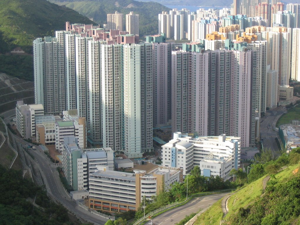
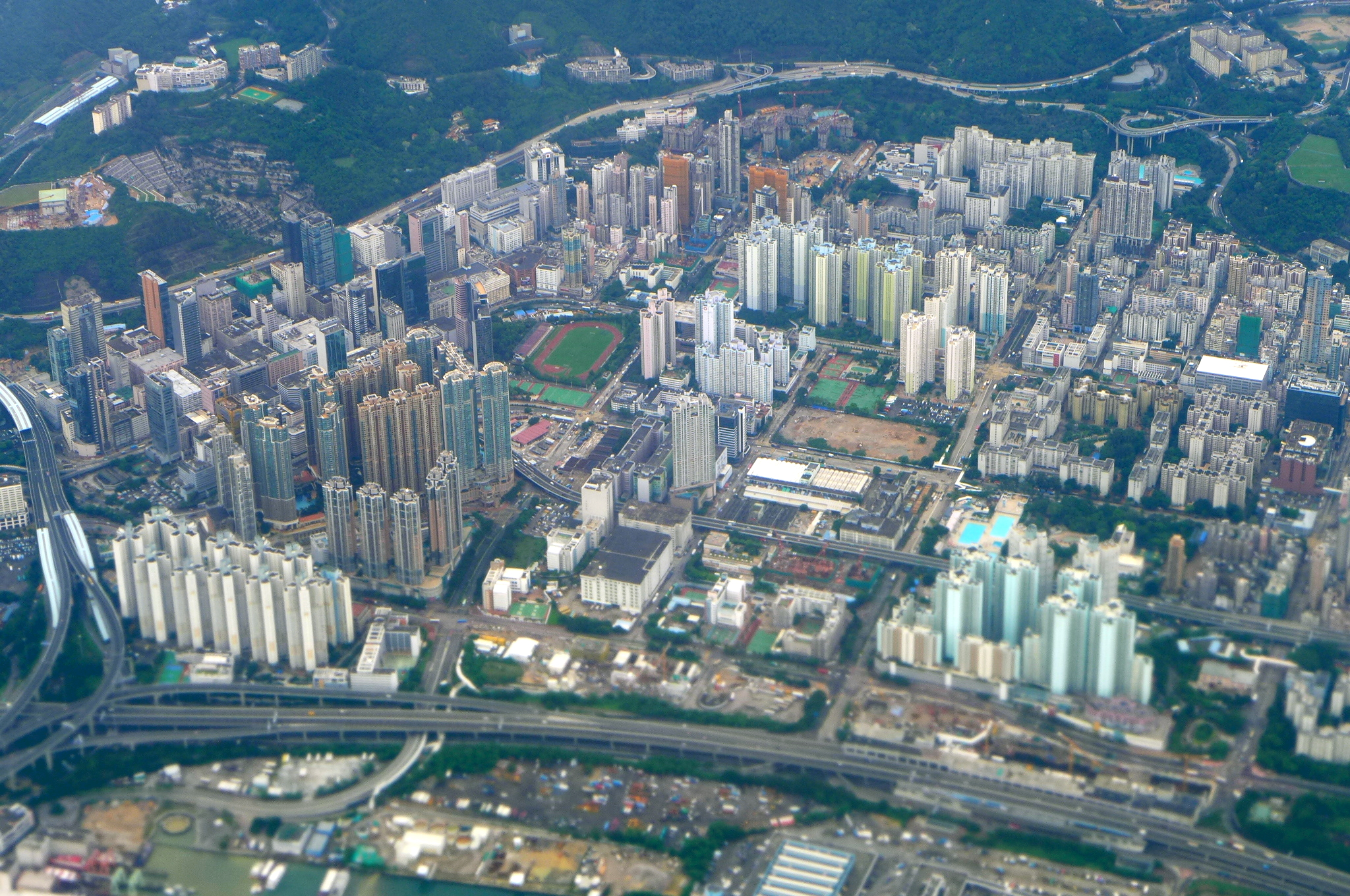
Sham Shui Po District is one of 18 districts of Hong Kong. It is the second poorest district by income in Hong Kong, with a predominantly working-class population of 405,869 in 2016 and the lowest median household income of all districts. Sham Shui Po has long been home to poorer new immigrants from mainland China, China. It also saw the birth of public housing in Hong Kong, as the government sought to resettle those displaced by Shek Kip Mei Fire, a devastating fire in its slums. Sham Shui Po also hosted a Refugees in Hong Kong#From Vietnam, Vietnamese refugee camp during the influx of migration in the aftermath of the Vietnam War in the 1970s. The district covers the Shek Kip Mei, Sham Shui Po, Cheung Sha Wan, Lai Chi Kok, So Uk, , and Yau Yat Tsuen, Yau Yat Chuen list of buildings, sites and areas in Hong Kong, areas of New Kowloon, and Stonecutters Island of Kowloon. Administration Sham Shui Po District administers: *Cheung Sha Wan – Between Tonkin Street and Kom Tsun S ... [...More Info...] [...Related Items...] OR: [Wikipedia] [Google] [Baidu] |
Districts Of Hong Kong
Hong Kong is administratively divided into 18 districts. Each district has a district councils of Hong Kong, district council. District councils was formerly called district boards, for which the boards were established in 1982,Time to revamp Hong Kong's neglected district councils SCMP, Sonny Lo, 18 November 2013 when Hong Kong was under British Hong Kong, British rule. However, the districts have limited relevance to the population, as few public services operate according to district boundaries. The Hong Kong Police Force#Organization and structure, police, list of fire stations in Hong Kong, fire services, health services, education and list of hospitals in Hong Kong, hospital authorities, and postal service each defin ... [...More Info...] [...Related Items...] OR: [Wikipedia] [Google] [Baidu] |
Public Housing In Hong Kong
Public housing in Hong Kong is a set of mass housing programmes through which the Government of Hong Kong provides affordable housing for lower-income residents. It is a major component of housing in Hong Kong, with nearly half of the population now residing in some form of public housing. The public housing policy dates to 1954, after Shek Kip Mei Fire, a fire in Shek Kip Mei destroyed thousands of shanty town, shanty homes and prompted the government to begin constructing homes for the poor. Public housing is mainly built by the Hong Kong Housing Authority and the Hong Kong Housing Society. Rents and prices are significantly lower than those for Private housing estates in Hong Kong, private housing and are heavily subsidy, subsidised by the government, with revenues partially recovered from sources such as rents and charges collected from car parks and shops within or near the residences. Many public housing estates are built in the New towns of Hong Kong, new towns of the N ... [...More Info...] [...Related Items...] OR: [Wikipedia] [Google] [Baidu] |
Kowloon Tong
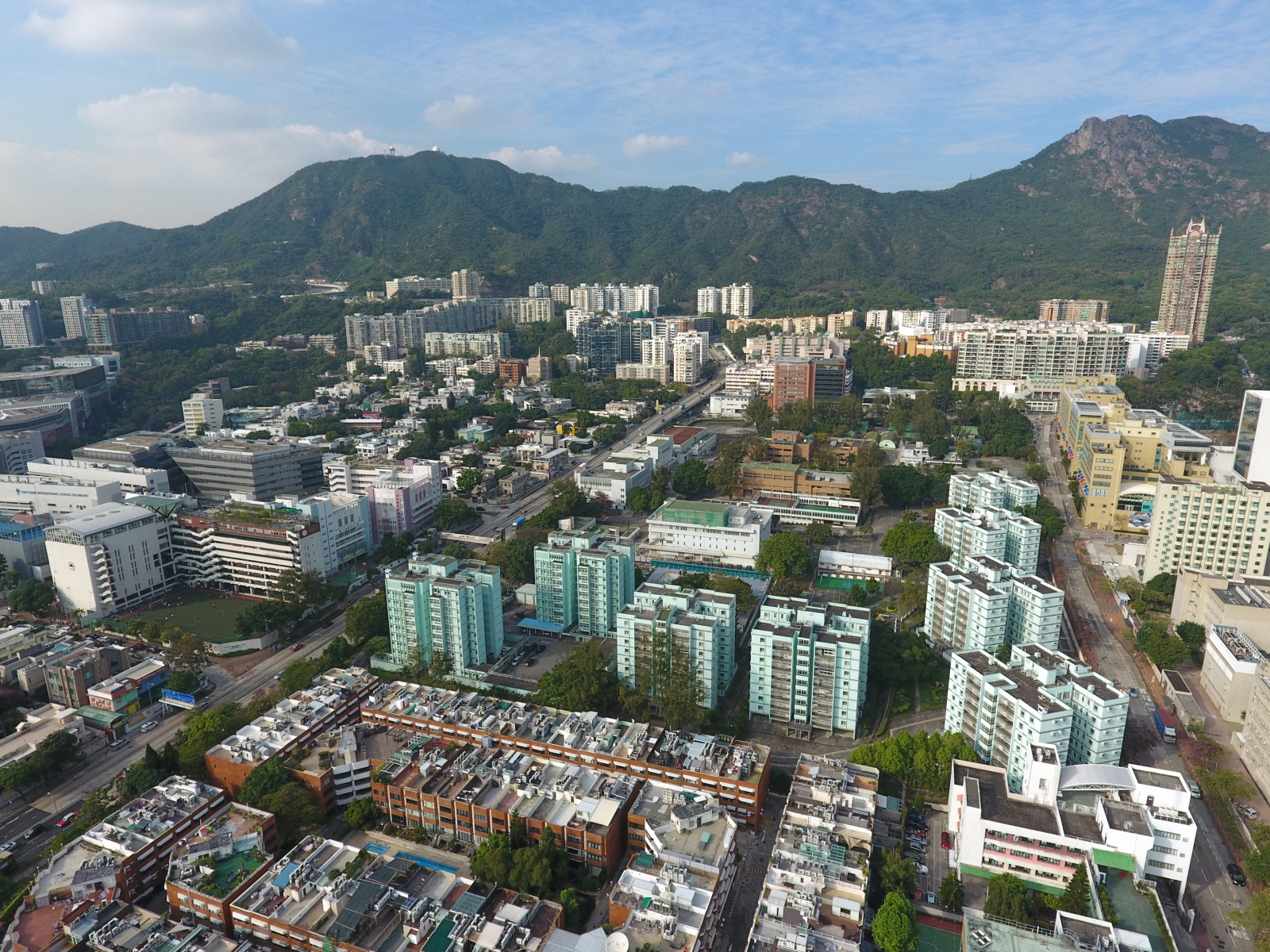
Kowloon Tong () is an area of Hong Kong located in Kowloon. The majority of the area is in the Kowloon City District. Its exaclocationis south of the Lion Rock, north of Boundary Street, east of the East Rail line and west of Grampian Road. It is one of the most expensive residential districts in Hong Kong. It is popular among Hong Kong's wealthy residents because of its schools and low-density private housing. Most of the buildings there do not exceed 10 floors. In addition, this area is noted for its private schools and Nursing home care, nursing homes. Within Kowloon West, it is administratively divided between Kowloon City District and Sham Shui Po District, bisected by the Kowloon–Canton Railway. History Kowloon Tong was originally a small village located in present-day Police Sport Association near Boundary Street, south of Woh Chai Hill. The area allowed cultivation based on rivers running down from Beacon Hill (Hong Kong), Beacon Hill. At the time of the 1911 census ... [...More Info...] [...Related Items...] OR: [Wikipedia] [Google] [Baidu] |
Tonkin Street
Tonkin Street () is a street between Sham Shui Po and Cheung Sha Wan of New Kowloon in Hong Kong. It runs northeast to southwest and crosses many major roads in the Cheung Sha Wan area. After extensive Land reclamation in Hong Kong, reclamation in West Kowloon during the 1990s, an extension Tonkin Street West () was built. Name Its Chinese name ''Tung King'' () means eastern capital, which is a very common name in historical China and neighbour countries. Although the name in Chinese character is currently only used by Tokyo, eastern capital of Japan, a hint from its English name suggests that the name is associated with the eastern capital of Vietnam, Tonkin, namely modern-day Hanoi. British named roads and streets in the area by the trading cities in the surrounding of Hong Kong. Tonkin Street Tonkin Street starts north from the junction with Kwong Lee Road near Lei Cheng Uk Estate and runs south across Po On Road, Shun Ning Road, Castle Peak Road, Un Chau Street, Fuk Wa St ... [...More Info...] [...Related Items...] OR: [Wikipedia] [Google] [Baidu] |
Stonecutters Island
Stonecutters Island or Ngong Shuen Chau is a former island in Victoria Harbour, Hong Kong. Following land reclamation, it is now attached to the Kowloon Peninsula. Fauna The island once boasted at least three mating pairs of sulphur-crested cockatoos as well as many snakes; banded kraits, brown cobras and bamboo snakes were all common denizens as late as the 1980s. Black kites often hovered overhead, looking for prey and carrion amongst the many tamarind, ''ficus benjamina'' and banyan trees. History Under British rule The island was ceded by the Qing dynasty to the United Kingdom of Great Britain and Ireland along with Kowloon in 1860 through the Convention of Peking. It was initially used for quarrying by the British, hence the English name for the island. In the 1850s it was the site of a prison. A Royal Navy Radio Interception and Direction-finding Station was established on the island in 1935. From 1935 to 1939, the base was the main radio interception unit fo ... [...More Info...] [...Related Items...] OR: [Wikipedia] [Google] [Baidu] |
List Of Buildings, Sites And Areas In Hong Kong
The following is a list of areashttp://www.lcsd.gov.hk/CE/CulturalService/MusicOffice/download/imts18.pdf of Hong Kong. Hong Kong Island * Central and Western District ** Central District *** Admiralty ** Mid-Levels *** Soho ** Sai Wan *** Kennedy Town *** Sai Ying Pun *** Shek Tong Tsui ** Sheung Wan * Eastern District ** Chai Wan **North Point *** Braemar Hill ***Fortress Hill *** North Point Mid-Levels ** Quarry Bay *** Kornhill *** Taikoo Shing ** Sai Wan Ho ** Shau Kei Wan *** Heng Fa Chuen *** Aldrich Bay *** A Kung Ngam * Southern District **Aberdeen ** Ap Lei Chau ** Chung Hom Kok **Siu Sai Wan ** Cyberport *** Telegraph Bay ** Deep Water Bay ** Pok Fu Lam *** Sandy Bay ** Shan Ting *** Wah Fu ** Tin Wan ** Repulse Bay ** Stanley ** Shek O *** Big Wave Bay ** Tai Tam ** Wong Chuk Hang *** Nam Long Shan *** Ocean Park * Wan Chai District ** Causeway Bay *** Tin Hau *** Caroline Hill ** Happy Valley *** Jardine's Lookout ** Tai Hang **Wan Chai Kowloon ... [...More Info...] [...Related Items...] OR: [Wikipedia] [Google] [Baidu] |
Yau Yat Tsuen
Yau Yat Tsuen or Yau Yat Chuen () is one of the very few low density upscale neighbourhoods in the central urban area of Kowloon, Hong Kong. It is located in North Kowloon, at the foot of Beacon Hill. An electoral constituency of Sham Shui Po District is also named after the neighbourhood. Naming The area's name comes from a poem by Southern Song era poet Lu You, titled Touring Shanxi Village. The name comes from the fourth verse in the poem (), which translates to ''Then out of the shade of the willows, came bright flowers and another village''. Hence, the area's name literally translates to "another village". Facilities As a primarily residential area, there are relatively few services inside Yau Yat Tsuen. There is a small supermarket, a few property agents, a post office and a few other local stores. However a large shopping centre, Festival Walk, is on the edge of the village. It consists of 200 stores including a cinema and an ice-skating rink. The whole area of ... [...More Info...] [...Related Items...] OR: [Wikipedia] [Google] [Baidu] |
So Uk
So Uk () is an area in New Kowloon of Hong Kong, located to the north of Cheung Sha Wan. It was originally a village founded and resided by a clan bearing the surname So. The area now includes the area surrounding So Uk Estate, and a major hospital, Caritas Medical Centre, is also located within the area. History When the first ancestor of the So Clan A clan is a group of people united by actual or perceived kinship and descent. Even if lineage details are unknown, a clan may claim descent from a founding member or apical ancestor who serves as a symbol of the clan's unity. Many societie ... of So Uk arrived in 1739, he called his new home Mau Tin Tsuen (lit. "Village of the Rough Grass Fields"); and his descendants long used this name before ''So Uk'' came into common usage. In the 1950s, the original So Uk Village, occupied largely by squatter huts, was demolished to make way for a public housing estate, later known as " So Uk Estate". References {{coord, 22.34 ... [...More Info...] [...Related Items...] OR: [Wikipedia] [Google] [Baidu] |
Kowloon City District
Kowloon City District is one of the districts of Hong Kong, 18 districts of Hong Kong. It is located in the city of Kowloon and cut through by Boundary Street. It had a population of 381,352 in 2001, and increased to 418,732 in 2016. The district has the third most educated residents while its residents enjoy the highest income in Kowloon. It borders all the other districts in Kowloon, with Kwun Tong District, Kwun Tong district to the east, Wong Tai Sin District, Wong Tai Sin district to its northeast, Sham Shui Po District, Sham Shui Po district to its northwest, and Yau Tsim Mong District, Yau Tsim Mong district to its southwest. Kowloon City district covers about 1,000 hectares, and is mainly a residential area; most of its people live in private sector housing, including old tenement buildings, private residential developments and low-rise villas; the rest of them mainly live in public rental housing and the Home Ownership Scheme estates. It is the only district that in ... [...More Info...] [...Related Items...] OR: [Wikipedia] [Google] [Baidu] |
Kowloon Tsai
Kowloon Tsai () is a place Hong Kong. It was formerly a village in a valley, which has now been developed into a low-density and upscale residential area in New Kowloon. History According to the ''Gazetteer of Xin'an county'', Kowloon Tsai village was built before A.D. 1819. The ''Hong Kong Golden Jubilee Jamborette'' (), was held between 1961-12-27 and 1962-01-02, celebrating the Golden jubilee (50 year anniversary) of Hong Kong Scouting with theme ''One World'' (). At Kowloon Tsai, now named Kowloon Tsai Park, the Jamboree hosted 2,732 Scouts in the challenging winter with heavy rain. Notable places, streets and buildings * City University of Hong Kong * Nam Shan Estate * Kowloon Tsai Park * Maryknoll Convent School * La Salle College * La Salle Primary School * Kowloon City Plaza * Rhenish Church Pang Hok-ko Memorial College * Osborn Barracks * Oxford Road, Hong Kong, Oxford Road * Lancashire Road * Shaw Campus and Baptist University Road Campus, Hong Kong Baptist U ... [...More Info...] [...Related Items...] OR: [Wikipedia] [Google] [Baidu] |
Lai Chi Kok
Lai Chi Kok is a neighbourhood in Kowloon, Hong Kong, east of Kwai Chung and west of Cheung Sha Wan. Mei Foo Sun Chuen is the largest housing estate in the area and also the largest in Hong Kong with 99 blocks. Administratively, it belongs to Sham Shui Po District. History ''Xin an county gazette'' (), published in AD 1819, did not have any description of Lai chi kok, therefore, we did not have detail information of earlier history of the region. Lai Chi Kok literally means "lychee corner", referring to a seashore named after a type of fruit tree native to southern China. However, some historians such as Leung Ping Wah suggested the original name of the region was Lai Tsai Kuok (), literally mean the footprint of the youngest son. The river once separated Cheung Sha Wan from Lai Chi Kok Bay, and a river from Butterfly Valley separated Cheung Sha Wan from Lai Chi Kok. At the innermost area of Lai Chi Kok Bay, namely present-day Lai King Hill Road, is a settlement called Ka ... [...More Info...] [...Related Items...] OR: [Wikipedia] [Google] [Baidu] |
Cheung Sha Wan
Cheung Sha Wan () is an area between Lai Chi Kok and Sham Shui Po in New Kowloon, Hong Kong. It is mainly residential to the north and south, with an industrial area in between. Administratively it is part of Sham Shui Po District, which also includes Lai Chi Kok. Name The in its Cantonese name would normally be pronounced as with a first, high-flat tone; however, in this particular case, the tone shifts to a fourth, low-falling tone, making it instead. The same tone shift happens in the Cantonese names of To Kwa Wan () and Causeway Bay (), though with a first tone is also common. History As its Cantonese name suggests, it was formerly a bay with a long sandy beach. It spans roughly from today's Butterfly Valley Road at the west to Yen Chow Street at the east. The beach was a gathering place for many Tanka fishermen before its development. The original shoreline approximates the present Castle Peak Road and Un Chau Street. Inland, villages of Om Yam, Ma Lung Hang, ... [...More Info...] [...Related Items...] OR: [Wikipedia] [Google] [Baidu] |


