|
Scottville, Michigan
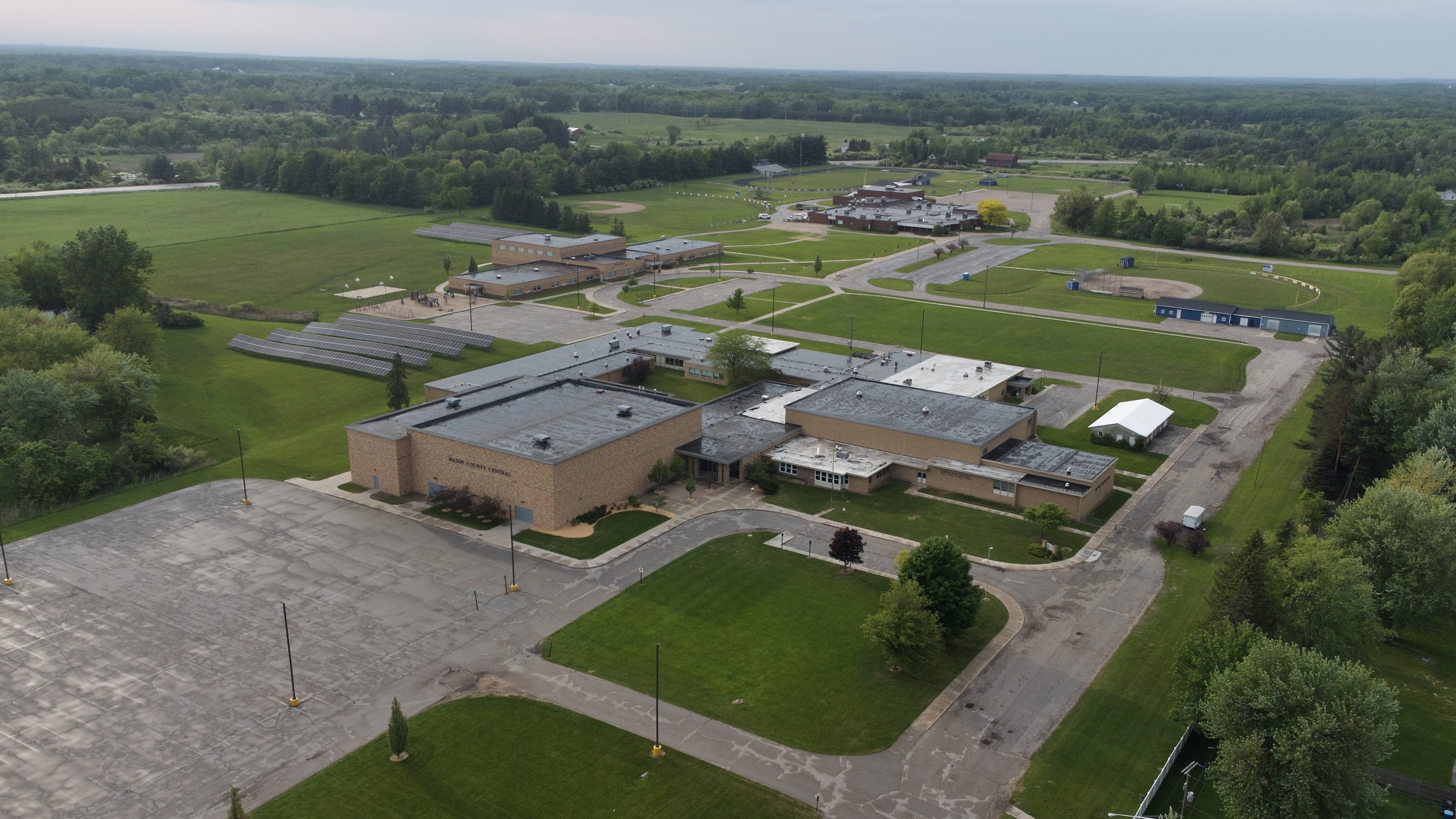
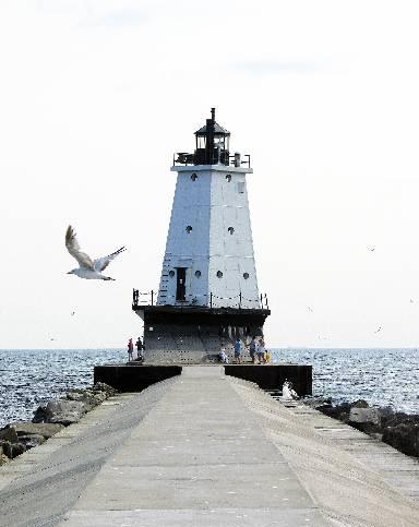
Scottville is a city in Mason County in the U.S. state of Michigan. The population was 1,356 at the 2020 census. History The area was first mapped in 1874 as a stop along the Pere Marquette Railway. It was originally called "Mason Center", as it was in the center of the county. It was later renamed "Sweetland", after James Sweetland, who built a sawmill there in 1878. Hiram Scott platted the land in 1882, and won the right to rename the settlement "Scottville" after winning a coin toss. Scottville was incorporated as a village in 1889 and as a city in 1907. On July 23, 2007, Governor Jennifer Granholm announced Scottville as the community chosen by the Michigan State Housing Development Authority (MSHDA) to take part in the Cool Cities Michigan Main Street program. Scottville was to receive five years of intensive technical assistance through MSHDA, to help create opportunities for new development, economic growth and jobs. A similar award, the Blueprints for Downtowns award ... [...More Info...] [...Related Items...] OR: [Wikipedia] [Google] [Baidu] |
City
A city is a human settlement of a substantial size. The term "city" has different meanings around the world and in some places the settlement can be very small. Even where the term is limited to larger settlements, there is no universally agreed definition of the lower boundary for their size. In a narrower sense, a city can be defined as a permanent and Urban density, densely populated place with administratively defined boundaries whose members work primarily on non-agricultural tasks. Cities generally have extensive systems for housing, transportation, sanitation, Public utilities, utilities, land use, Manufacturing, production of goods, and communication. Their density facilitates interaction between people, government organisations, government organizations, and businesses, sometimes benefiting different parties in the process, such as improving the efficiency of goods and service distribution. Historically, city dwellers have been a small proportion of humanity overall, bu ... [...More Info...] [...Related Items...] OR: [Wikipedia] [Google] [Baidu] |
Geographic Names Information System
The Geographic Names Information System (GNIS) is a database of name and location information about more than two million physical and cultural features, encompassing the United States and its territories; the Compact of Free Association, associated states of the Marshall Islands, Federated States of Micronesia, and Palau; and Antarctica. It is a type of gazetteer. It was developed by the United States Geological Survey (USGS) in cooperation with the United States Board on Geographic Names (BGN) to promote the standardization of feature names. Data were collected in two phases. Although a third phase was considered, which would have handled name changes where local usages differed from maps, it was never begun. The database is part of a system that includes topographic map names and bibliographic references. The names of books and historic maps that confirm the feature or place name are cited. Variant names, alternatives to official federal names for a feature, are also recor ... [...More Info...] [...Related Items...] OR: [Wikipedia] [Google] [Baidu] |
Census
A census (from Latin ''censere'', 'to assess') is the procedure of systematically acquiring, recording, and calculating population information about the members of a given Statistical population, population, usually displayed in the form of statistics. This term is used mostly in connection with Population and housing censuses by country, national population and housing censuses; other common censuses include Census of agriculture, censuses of agriculture, traditional culture, business, supplies, and traffic censuses. The United Nations (UN) defines the essential features of population and housing censuses as "individual enumeration, universality within a defined territory, simultaneity and defined periodicity", and recommends that population censuses be taken at least every ten years. UN recommendations also cover census topics to be collected, official definitions, classifications, and other useful information to coordinate international practices. The United Nations, UN's Food ... [...More Info...] [...Related Items...] OR: [Wikipedia] [Google] [Baidu] |
Fountain, Michigan
Fountain is a village in Mason County in the U.S. state of Michigan. The population was 170 at the 2020 census. The village is within Sherman Township. History Fountain was founded in 1882 when the railroad was extended to that point. The village was so named on account of there being a spring near the original town site. The village was incorporated in 1913. Geography Fountain is in northeast Mason County, northeast of Ludington, the county seat ( by road). According to the United States Census Bureau, the village has a total area of , all of it recorded as land. The North Branch of the Lincoln River flows westward through the southern part of the village. Demographics 2010 census As of the census of 2010, there were 193 people, 71 households, and 48 families residing in the village. The population density was . There were 83 housing units at an average density of . The racial makeup of the village was 91.7% White, 3.1% Asian, and 5.2% from two or more races. Hispanic o ... [...More Info...] [...Related Items...] OR: [Wikipedia] [Google] [Baidu] |
Custer, Michigan
Custer is a village in Mason County in the U.S. state of Michigan. The population was 272 at the 2020 census. The village is located within Custer Township. History Custer was platted in 1878 and incorporated as a village in 1895. The village was named for George Armstrong Custer. Geography Custer is in central Mason County, east of Scottville and east of Ludington, the county seat. According to the U.S. Census Bureau, the village has a total area of , all land. Demographics 2010 census As of the census of 2010, there were 285 people, 110 households, and 72 families residing in the village. The population density was . There were 137 housing units at an average density of . The racial makeup of the village was 97.2% White, 0.7% African American, 0.4% Native American, and 1.8% from two or more races. Hispanic or Latino of any race were 3.9% of the population. There were 110 households, of which 30.9% had children under the age of 18 living with them, 44.5% were marrie ... [...More Info...] [...Related Items...] OR: [Wikipedia] [Google] [Baidu] |
Lake Michigan
Lake Michigan ( ) is one of the five Great Lakes of North America. It is the second-largest of the Great Lakes by volume () and depth () after Lake Superior and the third-largest by surface area (), after Lake Superior and Lake Huron. To the east, its basin is conjoined with that of Lake Huron through the wide and deep Straits of Mackinac, giving it the same surface elevation as its eastern counterpart; hydrologically, the two bodies are Lake Michigan–Huron, a single lake that is, by area, the largest freshwater lake in the world. Lake Michigan is the only Great Lake located fully in the United States; the other four are shared between the U.S. and Canada. It is the world's List of lakes by area, largest lake, by area, located fully in one country, and is shared, from west to east, by the U.S. states of Wisconsin, Illinois, Indiana, and Michigan. Ports along its shores include Chicago, Illinois, Gary, Indiana, Gary, Indiana, Milwaukee and Green Bay, Wisconsin, Green Bay, Wis ... [...More Info...] [...Related Items...] OR: [Wikipedia] [Google] [Baidu] |
Ludington, Michigan
Ludington ( ) is a city in the U.S. state of Michigan. It is the county seat and the largest city in Mason County, Michigan, Mason County. The population was 7,655 at the 2020 United States census, 2020 census, making it the fourth largest city in the northern Michigan area. The city is located at the mouth of the Pere Marquette River at Lake Michigan. Nearby are Ludington State Park (which includes the Big Sable Point Light), Nordhouse Dunes Wilderness, and Manistee National Forest, making the area a popular tourist destination in the summer. Ludington is the home port of the SS Badger, SS ''Badger'', a vehicle and passenger ferry with daily service in the summer across Lake Michigan to Manitowoc, Wisconsin. History In 1675, Father Jacques Marquette, French people, French missionary and explorer, died and was laid to rest near the modern site of Ludington. A memorial and iron cross were built in 1955 to mark the location. In 1845, Burr Caswell moved to the area near the mout ... [...More Info...] [...Related Items...] OR: [Wikipedia] [Google] [Baidu] |
Ypsilanti, Michigan
Ypsilanti ( ), commonly shortened to Ypsi ( ), is a college town and city located on the Huron River in Washtenaw County, Michigan, Washtenaw County in the U.S. state of Michigan. As of the 2020 United States census, 2020 census, the city's population was 20,648. The city is bounded to the north by Superior Township, Washtenaw County, Michigan, Superior Charter Township and on the west, south, and east by Ypsilanti Township, Michigan, Ypsilanti Charter Township (a separately governed municipality). Ypsilanti is a part of the Ann Arbor, Michigan, Ann Arbor–Ypsilanti metropolitan area, the Huron River, Huron River Valley, the Metro Detroit, Detroit–Warren–Ann Arbor combined statistical area, and the Great Lakes megalopolis. The city is also the home of Eastern Michigan University (EMU). Ypsilanti is known for being the home of Eastern Michigan University (formerly the Michigan State Normal College) since the university's founding as Michigan's first normal school (teachers' c ... [...More Info...] [...Related Items...] OR: [Wikipedia] [Google] [Baidu] |
Clio, Michigan
Clio () is a city in Genesee County in the U.S. state of Michigan. The city is located entirely within Vienna Township, but is administratively autonomous. As of the 2010 census, the city had a population of 2,646. Along with the rest of Genesee County, Clio is part of the Flint metropolitan statistical area. History The location was first settled in 1837 by Theodore P. Dean. Originally named Varna after the city's first grain buyer. Pere Marquette Railroad came through and put a station there in 1861. Its name was changed in 1866 to Clio, the muse of history. National Hugging Day was celebrated for the first time globally in 1986 in Clio, Michigan. On July 23, 2007, Governor Jennifer Granholm announced Clio as a community chosen by the Michigan State Housing Development Authority (MSHDA), to take part in the Blueprints for Downtowns program. Clio would receive a comprehensive, market-driven strategy toward developing an action-oriented downtown that would result in e ... [...More Info...] [...Related Items...] OR: [Wikipedia] [Google] [Baidu] |
Caro, Michigan
Caro is a city in and the county seat of Tuscola County, Michigan, Tuscola County, Michigan, United States. The population was 4,328 at the United States Census, 2020, 2020 census and 4,145 at the United States Census, 2000, 2000 census (an increase of 4.4%). Caro is located northeast of Flint, Michigan, Flint and east of Saginaw, Michigan, Saginaw in Michigan's The Thumb, Upper Thumb region. History Caro was founded on the ridge just above the site of the Chippewa Village that early on stood at the Oxbow in the Cass River that was known by Native Americans as "Pe-See-Kop-To-Qua-Yone." It is now the site of the Caro Dam in Section 10, Indianfields Township, Tuscola County. Caro would be built and organized on Section 3. On Section 10, at the gate of the Chippewa Village, the logging camp that started the "boom" in logging Cass River was established by Curtis Emerson in 1848. Paschel Richardson of Tuscola Village purchased land for logging on the future site of Caro or Secti ... [...More Info...] [...Related Items...] OR: [Wikipedia] [Google] [Baidu] |
Cool Cities Initiative
Cool Cities Initiative began as an initiative started by Michigan Governor Jennifer Granholm to spur growth and investment in Midwestern cities. The Initiative was proposed in 2003 in response to the brain drain of students attending college in Michigan and then seeking employment out of the state. The Cool Cities Initiative was inspired by Dr. Richard Florida's 2002 book The Rise of the Creative Class. Funded Projects: Cool Cities funded $1.9 million dollars in catalysts grants in Michigan The Stadium District, immediately south of Oldsmobile Park in Lansing Lansing () is the capital city of the U.S. state of Michigan. The most populous city in Ingham County, parts of the city extend into Eaton County and north into Clinton County. It is the sixth-most populous city in Michigan with a popul ..., was redeveloped using a grant from the Cool Cities project. References Urban planning in the United States Economy of Michigan {{econ-policy-stub ... [...More Info...] [...Related Items...] OR: [Wikipedia] [Google] [Baidu] |
Jennifer Granholm
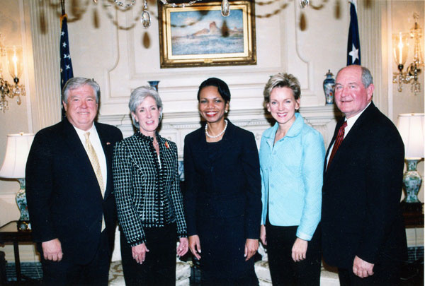
Jennifer Mulhern Granholm (born February 5, 1959) is an American politician who was the 16th United States secretary of energy from 2021 to 2025. A member of the Democratic Party (United States), Democratic Party, she previously served as the 47th governor of Michigan from 2003 to 2011 and as the 51st attorney general of Michigan from 1999 to 2003, the first woman to hold either office. Born in Vancouver, British Columbia, Canada, Granholm moved to California at age four. She obtained a Bachelor of Arts degree from the University of California, Berkeley, in 1984 and a Juris Doctor degree from Harvard Law School in 1987. She then clerked for Judge Damon Keith of the United States Court of Appeals for the Sixth Circuit, became an assistant United States Attorney, U.S. attorney for the United States District Court for the Eastern District of Michigan, Eastern District of Michigan in 1991, and was appointed to the Wayne County, Michigan, Wayne County Corporation Counsel in 1995. In 1 ... [...More Info...] [...Related Items...] OR: [Wikipedia] [Google] [Baidu] |


