|
Scott Street Flats
Scott Street Flats is a heritage-listed apartment block at 2 Scott Street, Kangaroo Point, City of Brisbane, Queensland, Australia. It was designed by Elina Mottram and built to by W B Johnstone. It is also known as Scott House. It was added to the Queensland Heritage Register on 29 April 2003. History The Scott Street Flats, a two storey building of masonry and timber built in for Professor Frank and Mrs Zina Cumbrae-Stewart was designed by Elina Mottram, a pioneer woman architect in Queensland. The building is located in Kangaroo Point, close to the Brisbane River and overlooking the Town Reach to the central business district of Brisbane city. The block is an amalgamation of two allotments that were once part of the Wesleyan Church Reserve of 1850. Mrs Zina Cumbrae-Stewart purchased the land in 1913. Upon her death in 1956, the property passed to her son Francis. In 2013 the property was sold to GDW Investments for $3.3 million with the intention to develop a high rise ... [...More Info...] [...Related Items...] OR: [Wikipedia] [Google] [Baidu] |
Kangaroo Point, Queensland
Kangaroo Point is an inner southern suburb in the City of Brisbane, Queensland, Australia. In the , Kangaroo Point had a population of 8,063 people. The suburb features two prominent attractions, the Story Bridge and Kangaroo Point Cliffs. At the western margins, the Captain Cook Bridge marks the start of the Pacific Motorway. Geography Kangaroo Point is located directly east across the Brisbane River from the Brisbane central business district, but being on the south side of the river is normally regarded as a southern suburb. Kangaroo Point is located on a peninsula formed of harder rhyolite rock which the Brisbane River flows around. On the northern tip of the peninsula the Story Bridge connects it to the central business district and the suburb of Fortitude Valley. The suburb of Woolloongabba is located to the south. The six-lane Main Street runs from Story Bridge to Woolloongabba. The landscape of Kangaroo Point is predominantly high-rise apartments towards the ... [...More Info...] [...Related Items...] OR: [Wikipedia] [Google] [Baidu] |
John Oxley Library
The State Library of Queensland is the main reference and research library provided to the people of the State of Queensland, Australia, by the state government. Its legislative basis is provided by the Queensland Libraries Act 1988. It contains a significant portion of Queensland's documentary heritage, major reference and research collections, and is an advocate of and partner with public libraries across Queensland. The library is at Kurilpa Point, within the Queensland Cultural Centre on the Brisbane River at South Bank. History The Brisbane Public Library was established by the government of the Colony of Queensland in 1896, and was renamed the Public Library of Queensland in 1898. The library was opened to the public in 1902. In 1934, the Oxley Memorial Library (now the John Oxley Library), named for the explorer John Oxley, opened as a centre for research and study relating specifically to Queensland. The Libraries Act of 1943 established the Library Board of Queensl ... [...More Info...] [...Related Items...] OR: [Wikipedia] [Google] [Baidu] |
Second World War
World War II or the Second World War, often abbreviated as WWII or WW2, was a world war that lasted from 1939 to 1945. It involved the World War II by country, vast majority of the world's countries—including all of the great powers—forming two opposing military alliances: the Allies of World War II, Allies and the Axis powers. World War II was a total war that directly involved more than 100 million Military personnel, personnel from more than 30 countries. The major participants in the war threw their entire economic, industrial, and scientific capabilities behind the war effort, blurring the distinction between civilian and military resources. Air warfare of World War II, Aircraft played a major role in the conflict, enabling the strategic bombing of population centres and deploying the Atomic bombings of Hiroshima and Nagasaki, only two nuclear weapons ever used in war. World War II was by far the List of wars by death toll, deadliest conflict in hu ... [...More Info...] [...Related Items...] OR: [Wikipedia] [Google] [Baidu] |
Hall And Phillips
In architecture, a hall is a relatively large space enclosed by a roof and walls. In the Iron Age and early Middle Ages in northern Europe, a mead hall was where a lord and his retainers ate and also slept. Later in the Middle Ages, the great hall was the largest room in castles and large houses, and where the servants usually slept. As more complex house plans developed, the hall remained a large room for dancing and large feasts, often still with servants sleeping there. It was usually immediately inside the main door. In modern British houses, an entrance hall next to the front door remains an indispensable feature, even if it is essentially merely a corridor. Today, the (entrance) hall of a house is the space next to the front door or vestibule leading to the rooms directly and/or indirectly. Where the hall inside the front door of a house is elongated, it may be called a passage, corridor (from Spanish ''corredor'' used in El Escorial and 100 years later in Castle Ho ... [...More Info...] [...Related Items...] OR: [Wikipedia] [Google] [Baidu] |
Longreach Hospital
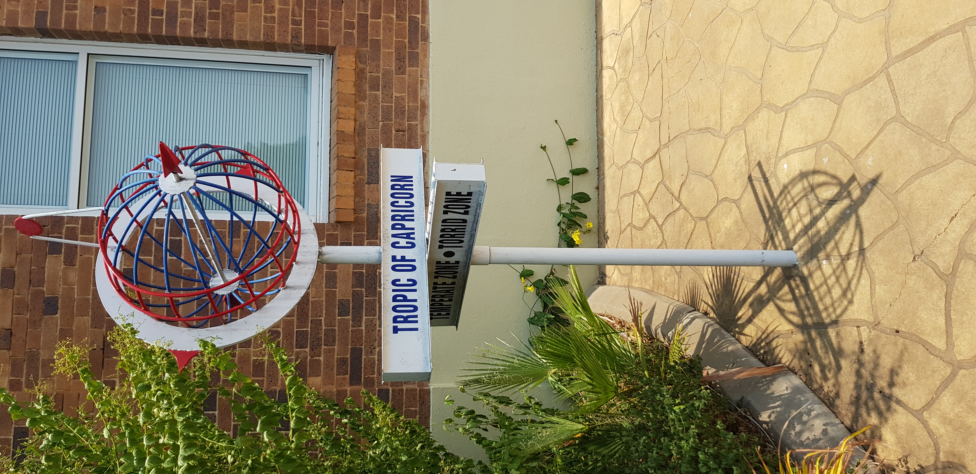
Longreach is a town and a locality in the Longreach Region, Queensland, Australia. It is the administrative centre of the Longreach Regional Council, which was established in 2008 as a merger of the former Longreach, Ilfracombe, and Isisford shires. Longreach is a well known tourist destination due to its aviation history and importance. In the , the locality of Longreach had a population of 3,124 people. Geography Longreach is in Central West Queensland, approximately from the coast, west of Rockhampton. The town is on the Tropic of Capricorn in the south-east of the locality. The town is named after the ‘long reach’ of the Thomson River on which it is situated. Lochern National Park is in the south-western part of the locality (formerly in Vergemont). The main industries of the area are cattle, sheep, and, more recently, tourism. The Landsborough Highway enters the locality from the south-east ( Ilfracombe), passes through the town and then exits to the nor ... [...More Info...] [...Related Items...] OR: [Wikipedia] [Google] [Baidu] |
Rockhampton
Rockhampton is a city in the Rockhampton Region of Central Queensland, Australia. The population of Rockhampton in June 2021 was 79,967, Estimated resident population, 30 June 2018. making it the fourth-largest city in the state outside of the cities of South East Queensland, and the 22nd-largest city in Australia. Today, Rockhampton is an industrial and agricultural centre of the north, and is the regional centre of Central Queensland. Rockhampton is one of the oldest cities in Queensland and in Northern Australia. In 1853, Charles and William Archer came across the Toonooba river, which is now also known as the Fitzroy River, which they claimed in honour of Sir Charles FitzRoy. The Archer brothers took up a run near Gracemere in 1855, and more settlers arrived soon after, enticed by the fertile valleys. The town of Rockhampton was proclaimed in 1858, and surveyed by William Henry Standish, Arthur F Wood and Francis Clarke, the chosen street design closely resembled t ... [...More Info...] [...Related Items...] OR: [Wikipedia] [Google] [Baidu] |
Masonic Temple
A Masonic Temple or Masonic Hall is, within Freemasonry, the room or edifice where a Masonic Lodge meets. Masonic Temple may also refer to an abstract spiritual goal and the conceptual ritualistic space of a meeting. Development and history In the early years of Freemasonry, from the 17th through the 18th centuries, it was most common for Masonic Lodges to form their Masonic Temples either in private homes or in the private rooms of public taverns or halls which could be regularly rented out for Masonic purposes. This was less than ideal, however; meeting in public spaces required the transportation, set-up and dismantling of increasingly elaborate paraphernalia every time the lodge met. Lodges began to look for permanent facilities, dedicated purely to Masonic use. First Temples The first Masonic Hall was built in 1765 in Marseille, France. A decade later in May, 1775, the cornerstone of what would come to be known as Freemasons' Hall, London, was laid in solemn ceremonia ... [...More Info...] [...Related Items...] OR: [Wikipedia] [Google] [Baidu] |
Longreach, Queensland
Longreach is a town and a locality in the Longreach Region, Queensland, Australia. It is the administrative centre of the Longreach Regional Council, which was established in 2008 as a merger of the former Longreach, Ilfracombe, and Isisford shires. Longreach is a well known tourist destination due to its aviation history and importance. In the , the locality of Longreach had a population of 3,124 people. Geography Longreach is in Central West Queensland, approximately from the coast, west of Rockhampton. The town is on the Tropic of Capricorn in the south-east of the locality. The town is named after the ‘long reach’ of the Thomson River on which it is situated. Lochern National Park is in the south-western part of the locality (formerly in Vergemont). The main industries of the area are cattle, sheep, and, more recently, tourism. The Landsborough Highway enters the locality from the south-east ( Ilfracombe), passes through the town and then exits to the nort ... [...More Info...] [...Related Items...] OR: [Wikipedia] [Google] [Baidu] |
Brisbane Central Technical College
Brisbane Central Technical College is a heritage-listed technical college at 2 George Street, Brisbane City, City of Brisbane, Queensland, Australia. It was built from 1911 to 1956. It became the Queensland Institute of Technology (QIT) in 1965, and then in 1987 that became the Queensland University of Technology (QUT 1987 to present). It was added to the Queensland Heritage Register on 27 August 1999. The College was founded in 1908, and eventually became the Queensland Institute of Technology. While not able to grant bachelor's degrees, the college was able to issue diplomas which gave the recipients the right to "letters" after their name. In 1987 it became Queensland University of Technology and could award bachelor's degrees as well as higher degrees such as Master and Doctorates. History of College Buildings Originally a group of nine, free-standing, bold, red facebrick buildings grouped around a central courtyard, the former Brisbane Central Technical College ... [...More Info...] [...Related Items...] OR: [Wikipedia] [Google] [Baidu] |
Nundah, Queensland
Nundah (previously called German Station) is an inner suburb in the City of Brisbane, Queensland, Australia. It contains the neighbourhood of Toombul. In the , Nundah had a population of 12,141 people. Prior to European settlement, Nundah was inhabited by Aboriginal people from the Turrbul tribe. Nundah is primarily a residential suburb, which straddles Sandgate Road, one of the major arterial roads of Brisbane's north. It was first settled by Europeans in the mid-19th century, although the suburb remained primarily a rural area until it was connected to Brisbane via railway in the 1880s. Originally considered a working-class suburb, the area has become gentrified in recent years, and today features a mix of traditional worker's cottages and modern high-density apartment blocks. It is close to the Centro Shopping Centre. Geography Nundah is a mixed-density residential suburb, with some light industry and a commercial retail area concentrated on Sandgate Road. It is adjacent t ... [...More Info...] [...Related Items...] OR: [Wikipedia] [Google] [Baidu] |
Lyceum Club (Australia)
The Lyceum Club, also known as the Australian Association of Lyceum Clubs and formed in 1972 from several smaller clubs, is an Australian arts, literature and social activism group for women only. The aim of the AALC is to promote a spirit of goodwill and understanding within the Association and to enhance the enjoyment of Lyceum by providing opportunities for contact and friendship with members of other Lyceum Clubs. The first Lyceum Club was founded in London, England in 1904 by Constance Smedley. Ethel Osborne founded a Lyceum Club in Melbourne after visiting the London club in 1910, and was elected vice-president during the first meeting on 21 March 1912. Member groups There are several Lyceum clubs in Australia. * Adelaide, formed in 1922 by Dr Helen Mayo. From 1924 to 1927 club rooms were in the upper floor of member Dr. Violet Plummer's home and consulting rooms at 222 North Terrace, then at 200 North Terrace. Now located at 111 Hutt Street. * Brisbane * Perth, the Ka ... [...More Info...] [...Related Items...] OR: [Wikipedia] [Google] [Baidu] |
Brisbane City Hall
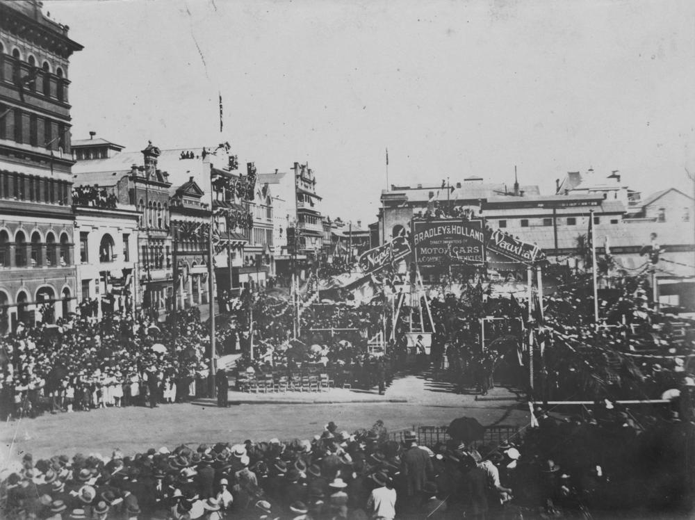
Brisbane City Hall, in Brisbane, Queensland, Australia, is the seat of the Brisbane City Council. It is located adjacent to King George Square, where the rectangular City Hall has its main entrance. The City Hall also has frontages and entrances in both Ann Street and Adelaide Street. The building design is based on a combination of the Roman Pantheon, and St Mark's Campanile in Venice and is considered one of Brisbane's finest buildings. It was listed on the Register of the National Estate in 1978 and on the Queensland Heritage Register in 1992. It is also iconic for its Westminster chimes which sound on the quarter-hour. The building has been used for royal receptions, pageants, orchestral concerts, the Lord Mayor's Seniors Christmas Concerts, civic greetings, flower shows, school graduations and political meetings. In 2008, it was discovered that the building had severe structural problems. After a three-year restoration, it re-opened on 6 April 2013. History The City H ... [...More Info...] [...Related Items...] OR: [Wikipedia] [Google] [Baidu] |


