|
Schinoussa
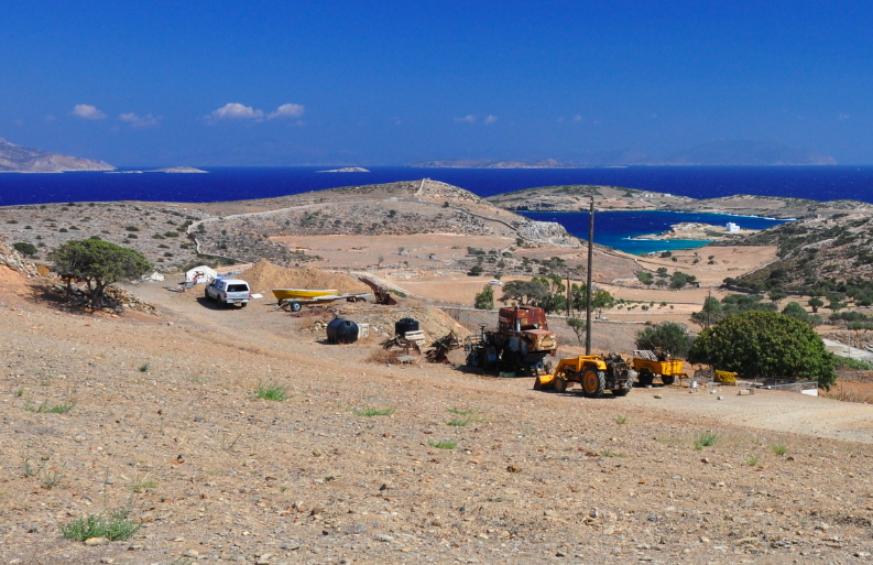
Schoinoussa or Schinoussa ( ; anciently Σχινοῦσσα) is an island and a former community in the Cyclades, Greece. Since the 2011 local government reform it is part of the municipality Naxos and Lesser Cyclades, of which it is a municipal unit. It lies south of the island of Naxos, in the Lesser Cyclades group, between the island communities of Irakleia and Koufonisia. The population was 229 inhabitants at the 2021 census. Its land area is . Description Schoinoussa is located south of Naxos, in the middle about of the Lesser Cyclades island group. It is the fourth largest island of the Lesser Cyclades and the second most populated, after Ano Koufonisi. The island has three settlements, Chora the capital of the island, Mesaria and Mersini which is the port of the island. The derivation of the name Schinoussa is not precisely known. It is believed that the name either derives from the corruption of the ancient name Echinousa or from a Venetian nobleman named Schinoza. Schoino ... [...More Info...] [...Related Items...] OR: [Wikipedia] [Google] [Baidu] |
South Aegean
The South Aegean (, ) is one of the thirteen administrative regions of Greece. It consists of the Cyclades and Dodecanese island groups in the central and southeastern Aegean Sea. Administration The South Aegean region was established in the 1987 administrative reform. With the 2010 Kallikratis plan, its powers and authority were redefined and extended. Along with the North Aegean region, it is supervised by the Decentralized Administration of the Aegean based at Piraeus. The capital of the region is situated in Ermoupoli on the island of Syros. The administrative region includes 50 inhabited islands, including the popular tourism destinations of Mykonos, Santorini and Rhodes. Until the Kallikratis reform, the region consisted of the two prefectures of the Cyclades (capital: Ermoupoli) and the Dodecanese (capital: Rhodes). Since 1 January 2011 it is divided into 13 regional units, formed around major islands: * Andros * Kalymnos * Karpathos-Kasos * Kea-Kyth ... [...More Info...] [...Related Items...] OR: [Wikipedia] [Google] [Baidu] |
Ancient Rome
In modern historiography, ancient Rome is the Roman people, Roman civilisation from the founding of Rome, founding of the Italian city of Rome in the 8th century BC to the Fall of the Western Roman Empire, collapse of the Western Roman Empire in the 5th century AD. It encompasses the Roman Kingdom (753–509 BC), the Roman Republic (50927 BC), and the Roman Empire (27 BC476 AD) until the fall of the western empire. Ancient Rome began as an Italic peoples, Italic settlement, traditionally dated to 753 BC, beside the River Tiber in the Italian peninsula. The settlement grew into the city and polity of Rome, and came to control its neighbours through a combination of treaties and military strength. It eventually controlled the Italian Peninsula, assimilating the Greece, Greek culture of southern Italy (Magna Graecia) and the Etruscans, Etruscan culture, and then became the dominant power in the Mediterranean region and parts of Europe. At its hei ... [...More Info...] [...Related Items...] OR: [Wikipedia] [Google] [Baidu] |
Landforms Of Naxos (regional Unit)
A landform is a land feature on the solid surface of the Earth or other planetary body. They may be natural or may be anthropogenic (caused or influenced by human activity). Landforms together make up a given terrain, and their arrangement in the landscape is known as topography. Landforms include hills, mountains, canyons, and valleys, as well as shoreline features such as bays, peninsulas, and seas, including submerged features such as mid-ocean ridges, volcanoes, and the great oceanic basins. Physical characteristics Landforms are categorized by characteristic physical attributes such as elevation, slope, orientation, structure stratification, rock exposure, and soil type. Gross physical features or landforms include intuitive elements such as berms, cliffs, hills, mounds, peninsulas, ridges, rivers, valleys, volcanoes, and numerous other structural and size-scaled (e.g. ponds vs. lakes, hills vs. mountains) elements including various kinds of inland and oceanic waterbodi ... [...More Info...] [...Related Items...] OR: [Wikipedia] [Google] [Baidu] |
Islands Of Greece
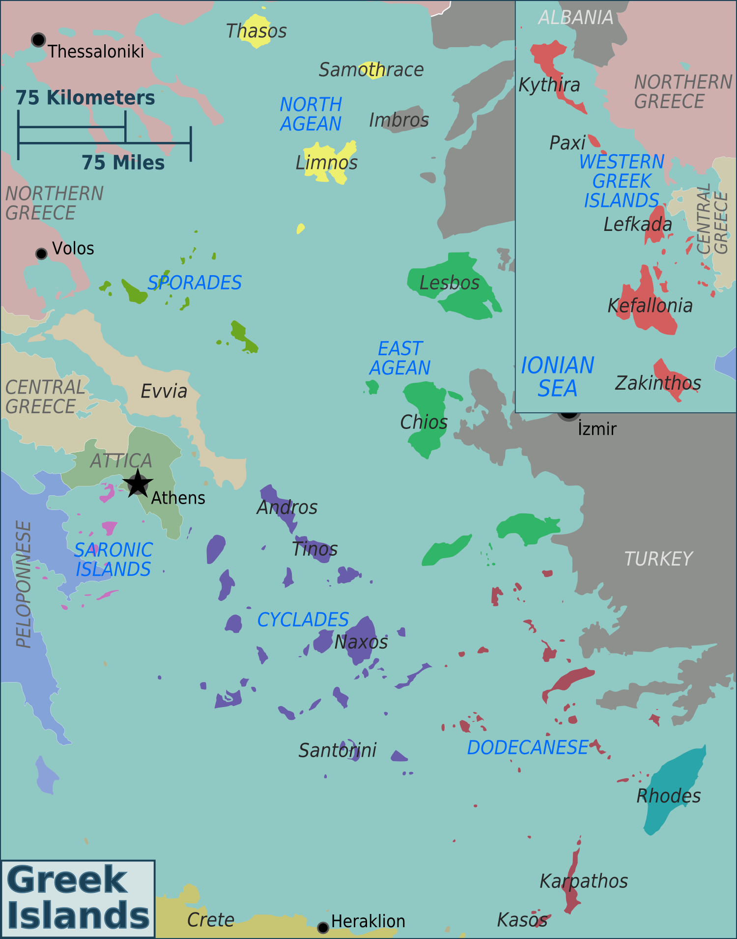
Greece has many islands, with estimates ranging from somewhere around 1,200 to 6,000, depending on the minimum size to take into account. The number of inhabited islands is variously cited as between 166 and 227. The largest Greek island by both area and population is Crete, located at the southern edge of the Aegean Sea. The second largest island in area is Euboea or Evvia, which is separated from the mainland by the 60m-wide Euripus Strait, and is administered as part of the Central Greece (administrative region), Central Greece region. After the third and fourth largest Greek islands, Lesbos and Rhodes, the rest of the islands are two-thirds of the area of Rhodes, or smaller. The Greek islands are traditionally grouped into the following clusters: the Argo-Saronic Islands in the Saronic Gulf near Athens; the Cyclades, a large but dense collection occupying the central part of the Aegean Sea; the North Aegean islands, a loose grouping off the west coast of Turkey; the Dodec ... [...More Info...] [...Related Items...] OR: [Wikipedia] [Google] [Baidu] |
World Meteorological Organization
The World Meteorological Organization (WMO) is a List of specialized agencies of the United Nations, specialized agency of the United Nations responsible for promoting international cooperation on atmospheric science, climatology, hydrology and geophysics. The WMO originated from the International Meteorological Organization (IMO), a nongovernmental organization founded in 1873 as a forum for exchanging weather data and research. Proposals to reform the status and structure of the IMO culminated in the World Meteorological Convention of 1947, which formally established the World Meteorological Organization. The Convention entered into force on 23 March 1950, and the following year the WMO began operations as an intergovernmental organization within the UN system. The WMO is made up of 193 countries and territories, and facilitates the "free and unrestricted" exchange of data, information, and research between the respective meteorological and hydrological institutions of its m ... [...More Info...] [...Related Items...] OR: [Wikipedia] [Google] [Baidu] |
Hot Desert Climate
The desert climate or arid climate (in the Köppen climate classification ''BWh'' and ''BWk'') is a dry climate sub-type in which there is a severe excess of evaporation over precipitation. The typically bald, rocky, or sandy surfaces in desert climates are dry and hold little moisture, quickly evaporating the already little rainfall they receive. Covering 14.2% of Earth's land area, hot deserts are the second-most common type of climate on Earth after the Polar climate. There are two variations of a desert climate according to the Köppen climate classification: a hot desert climate (''BWh''), and a cold desert climate (''BWk''). To delineate "hot desert climates" from "cold desert climates", a mean annual temperature of is used as an isotherm so that a location with a ''BW'' type climate with the appropriate temperature above this isotherm is classified as "hot arid subtype" (''BWh''), and a location with the appropriate temperature below the isotherm is classified as "cold ar ... [...More Info...] [...Related Items...] OR: [Wikipedia] [Google] [Baidu] |
Köppen Climate Classification
The Köppen climate classification divides Earth climates into five main climate groups, with each group being divided based on patterns of seasonal precipitation and temperature. The five main groups are ''A'' (tropical), ''B'' (arid), ''C'' (temperate), ''D'' (continental), and ''E'' (polar). Each group and subgroup is represented by a letter. All climates are assigned a main group (the first letter). All climates except for those in the ''E'' group are assigned a seasonal precipitation subgroup (the second letter). For example, ''Af'' indicates a tropical rainforest climate. The system assigns a temperature subgroup for all groups other than those in the ''A'' group, indicated by the third letter for climates in ''B'', ''C'', ''D'', and the second letter for climates in ''E''. Other examples include: ''Cfb'' indicating an oceanic climate with warm summers as indicated by the ending ''b.'', while ''Dwb'' indicates a semi-Monsoon continental climate, monsoonal continental climate ... [...More Info...] [...Related Items...] OR: [Wikipedia] [Google] [Baidu] |
Hot Semi-arid Climate
A semi-arid climate, semi-desert climate, or steppe climate is a dry climate sub-type. It is located on regions that receive precipitation below potential evapotranspiration, but not as low as a desert climate. There are different kinds of semi-arid climates, depending on variables such as temperature, and they give rise to different biomes. Defining attributes of semi-arid climates A more precise definition is given by the Köppen climate classification, which treats steppe climates (''BSh'' and ''BSk'') as intermediates between desert climates (BW) and humid climates (A, C, D) in ecological characteristics and agricultural potential. Semi-arid climates tend to support short, thorny or scrubby vegetation and are usually dominated by either grasses or shrubs as they usually cannot support forests. To determine if a location has a semi-arid climate, the precipitation threshold must first be determined. The method used to find the precipitation threshold (in millimeters): * m ... [...More Info...] [...Related Items...] OR: [Wikipedia] [Google] [Baidu] |
National Observatory Of Athens
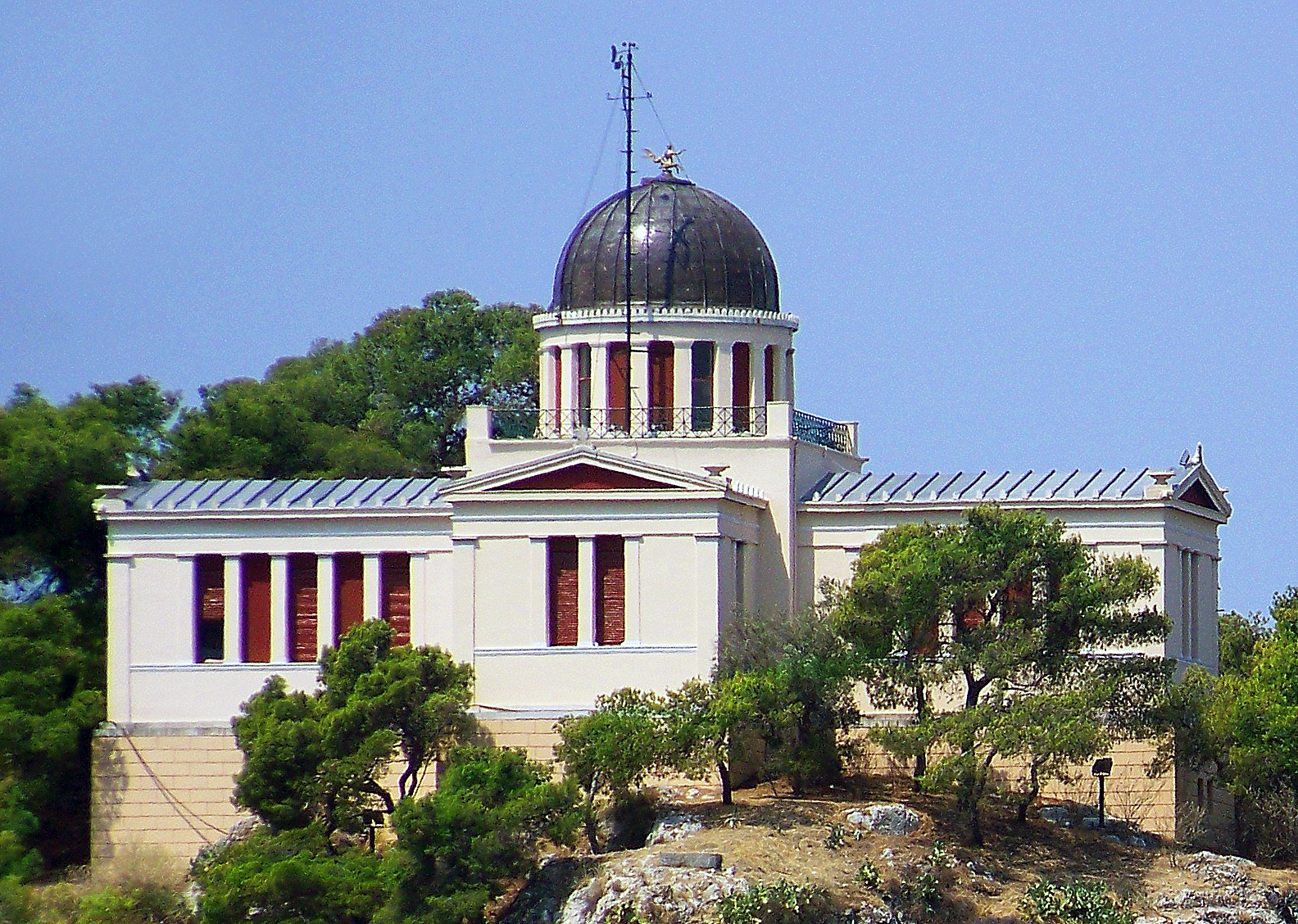
The National Observatory of Athens (NOA; ) is a research institute in Athens, Greece. Founded in 1842, it is the oldest List of research institutes in Greece, research foundation in Greece. The Observatory was the first scientific research institute built after Greece became independent in 1829, and one of the oldest research institutes in Southern Europe. It was built around the same period as the United States Naval Observatory. The world-renowned Greek-Austrian astronomer Georgios Konstantinos Vouris lobbied to create the National Observatory of Athens in the newly founded state. He persuaded wealthy Greek-Austrian banker Georgios Sinas to pay for the new massive observatory. The Austrian-born Otto of Greece, Greek King found out the news and awarded Georgios Sinas's son the Order of the Redeemer. The King also selected the architects for the building under Georgios Konstantinos Vouris's supervision, which were Eduard Schaubert and Theophil Hansen. The Athens observatory sinc ... [...More Info...] [...Related Items...] OR: [Wikipedia] [Google] [Baidu] |
Amorgos
Amorgos (, ; ) is the easternmost island of the Cyclades island group and the nearest island to the neighboring Dodecanese island group in Greece. Along with 16 neighbouring islets, the largest of which (by land area) is Nikouria Island, it comprises the Communities and Municipalities of Greece, municipality of Amorgos, which has a land area of and at the 2021 census had a population of 1,961. Geography Due to its position near the ancient Ionian towns, such as Miletus, Halicarnassus and Ephesus, Amorgos became one of the first places from which the Ionians passed through to the Cyclades, Cycladic Islands and onto the Geography of Greece#Mainland Greece, Greek mainland. History Throughout history, Amorgos was also known as Yperia, or Platagy, Pagali, Psichia, and Karkisia. Amorgos features many remnants of ancient civilizations. At the time of Archaic Greece, there were three independent city-states there. They are believed to have featured autonomous constitutions but the s ... [...More Info...] [...Related Items...] OR: [Wikipedia] [Google] [Baidu] |


