|
Sari Pul River
The Sari Pul River is a river in northern Afghanistan originating in southwestern Sar-e Pol Province. It flows north and is joined by a major tributary from the east just south of the provincial capital, Sar-e Pol. It continues north past the town of Sar-e Pol and into Jowzjan Province. It flows past Sheberghan into the edge of the Karakum Desert where it dries up. In prehistoric times it flowed into the Amu Darya The Amu Darya, tk, Amyderýa/ uz, Amudaryo// tg, Амударё, Amudaryo ps, , tr, Ceyhun / Amu Derya grc, Ὦξος, Ôxos (also called the Amu, Amo River and historically known by its Latin name or Greek ) is a major river in Central Asi .... There are irrigation canals that spread the water out around Sheberghan. [...More Info...] [...Related Items...] OR: [Wikipedia] [Google] [Baidu] |
Afghanistan
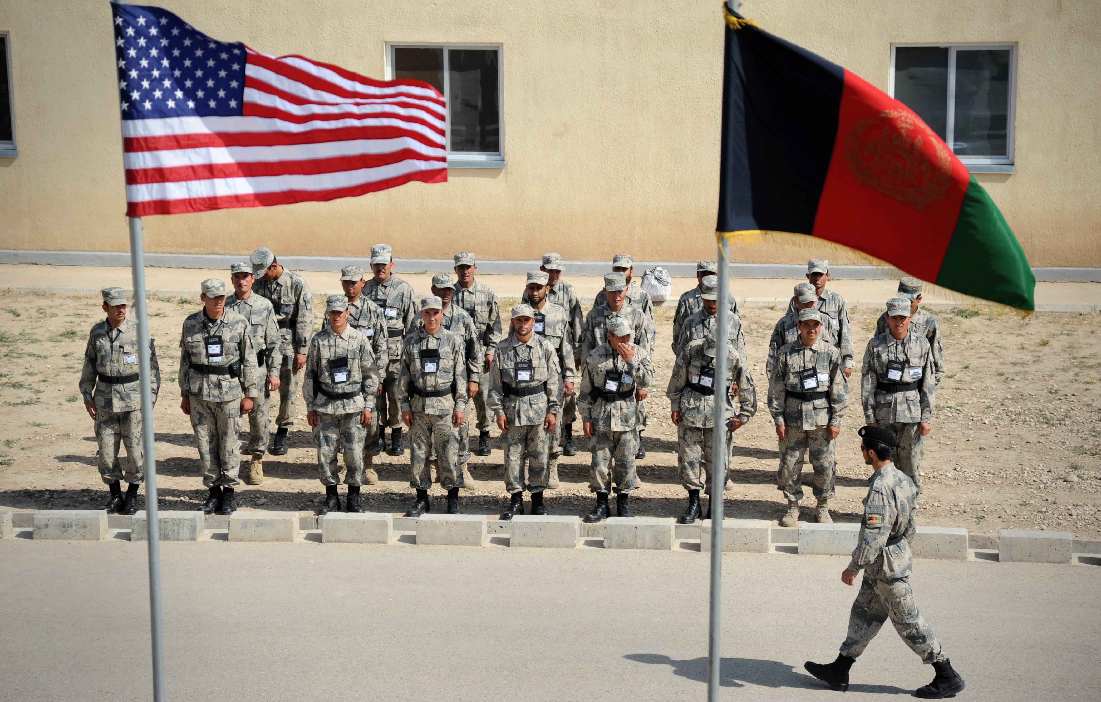
Afghanistan, officially the Islamic Emirate of Afghanistan,; prs, امارت اسلامی افغانستان is a landlocked country located at the crossroads of Central Asia and South Asia. Referred to as the Heart of Asia, it is bordered by Pakistan to the east and south, Iran to the west, Turkmenistan to the northwest, Uzbekistan to the north, Tajikistan to the northeast, and China to the northeast and east. Occupying of land, the country is predominantly mountainous with plains in the north and the southwest, which are separated by the Hindu Kush mountain range. , its population is 40.2 million (officially estimated to be 32.9 million), composed mostly of ethnic Pashtuns, Tajiks, Hazaras, and Uzbeks. Kabul is the country's largest city and serves as its capital. Human habitation in Afghanistan dates back to the Middle Paleolithic era, and the country's Geostrategy, strategic location along the historic Silk Road has led it to being described, pict ... [...More Info...] [...Related Items...] OR: [Wikipedia] [Google] [Baidu] |
Sar-e Pol Province
Sar-e Pol, also spelled Sari Pul (Dari/Pashto: ), is one of the thirty-four provinces of Afghanistan, located in the north of the country. It borders Ghor and Bamyan to the south, Samangan to the east, Balkh and Jowzjan to the north, and Faryab to the west. The province is divided into 7 districts and contains 896 villages. It has a population of about 632,000, which is multi-ethnic and mostly a tribal society. The province was created in 1988, with the support of northern Afghan politician Sayed Nasim Mihanparast. The city of Sar-e Pol serves as the provincial capital. In 2021, the Taliban gained control of the province during the 2021 Taliban offensive. History Between the early 16th century and the mid-18th century, the territory was ruled by the Khanate of Bukhara. It was given to Ahmad Shah Durrani by Murad Beg of Bukhara after a treaty was signed in or about 1750, and became part of the Durrani Empire. It was ruled by the Durranis followed by the Barakzai dynasty. The ... [...More Info...] [...Related Items...] OR: [Wikipedia] [Google] [Baidu] |
Sar-e Pol, Afghanistan
Sar-e Pol or Sari Pul ( fa, سر پل) is the capital city of the province of Sar-e Pol Province in northern Afghanistan. It is in Sari Pul District. Sar-e Pol elevation is 2,155 ft (657 m). History In 2015, it had an official population of 51,075. in 2018 the population was 164,600. There were 5,675 total number of dwellings in a total land area of 2,990 hectares. The city's distance from Kabul is 349 km. Its population is mostly Tajiks and Uzbeks. The Taliban The Taliban (; ps, طالبان, ṭālibān, lit=students or 'seekers'), which also refers to itself by its state name, the Islamic Emirate of Afghanistan, is a Deobandi Islamic fundamentalist, militant Islamist, jihadist, and Pas ... overran and captured the city on the 8th August 2021 as part of their 2021 offensive. External links * References Populated places in Sar-e Pol Province Cities in Afghanistan Provincial capitals in Afghanistan Populated places with period of establ ... [...More Info...] [...Related Items...] OR: [Wikipedia] [Google] [Baidu] |
Jowzjan Province
Jowzjan, sometimes spelled Jawzjan or Jozjan (Dari: ), is one of the thirty-four provinces of Afghanistan, located in the north of the country bordering neighboring Turkmenistan. The province is divided into 11 districts and contains hundreds of villages. It has a population of about 613,481, which is multi-ethnic and mostly agriculturalists. Sheberghan is the capital of Jozjan province. History The province is named after the early medieval region and principality of Juzjan. Between the early 16th century and mid-18th century, the area was ruled by the Khanate of Bukhara. It was conquered by Ahmad Shah Durrani and became part of the Durrani Empire in or about 1750, which formed to the modern state of Afghanistan. The area was untouched by the British during the three Anglo-Afghan wars that were fought in the 19th and 20th centuries. Recent history Following a series of changing allegiances and falling out with Uzbek warlord Abdul Malik Pahlawan in 1997, the Taliban withdrew f ... [...More Info...] [...Related Items...] OR: [Wikipedia] [Google] [Baidu] |
Sheberghan
Sheberghān or Shaburghān ( Uzbek, Pashto, fa, شبرغان), also spelled ''Shebirghan'' and ''Shibarghan'', is the capital city of the Jowzjan Province in northern Afghanistan. The city of Sheberghan has a population of 175,599. It has four districts and a total land area of 7,335 hectares. The total number of dwellings in Sheberghān is 19,511. In 2021, the Taliban gained control of the city during the 2021 Taliban offensive. Location Sheberghān is located along the Sari Pul River banks, about west of Mazar-i-Sharif on the national primary ring road that connects Kabul, Puli Khumri, Mazar-i-Sharif, Sheberghān, Maymana, Herat, Kandahar, Ghazni, and Maidan Shar. Sheberghān airport is situated between Sheberghān and Aqcha. Etymology The city's name is a corruption of its classical Persian name, Shaporgân, meaning " ingShapur's town". Shapur was the name of two Sasanian kings, both of whom built a great number of cities. However, Shapur I was the governor of the ... [...More Info...] [...Related Items...] OR: [Wikipedia] [Google] [Baidu] |
Karakum Desert
The Karakum Desert, also spelled Kara-Kum and Gara-Gum ( tk, Garagum, ; rus, Караку́мы, Karakumy, kərɐˈkumɨ), is a desert in Central Asia. Its name in Turkic languages means "black sand": "" means sand; "" is a contraction of : "dark" or may pre-date that (be a derivation from a likely broader meaning which the word for black bore: ) in this language family. This refers to the shale-rich sand generally beneath the sand of much of the desert. It occupies about 70 percent, , of Turkmenistan. The population is sparse, with an average of one person per . Rainfall is also rare, ranging from per year. Geography The desert covers roughly seventy percent of Turkmenistan, a long east–west swath. It sits east of the Caspian Sea which has a steep east bank. It adjoins, to the north, the long delta feeding the South Aral Sea further north, another endorheic lake, about higher than the Caspian Sea. The delta is that of the Amu Darya river to the northeast, demarcating ... [...More Info...] [...Related Items...] OR: [Wikipedia] [Google] [Baidu] |
Amu Darya
The Amu Darya, tk, Amyderýa/ uz, Amudaryo// tg, Амударё, Amudaryo ps, , tr, Ceyhun / Amu Derya grc, Ὦξος, Ôxos (also called the Amu, Amo River and historically known by its Latin name or Greek ) is a major river in Central Asia and Afghanistan. Rising in the Pamir Mountains, north of the Hindu Kush, the Amu Darya is formed by the confluence of the Vakhsh and Panj rivers, in the Tigrovaya Balka Nature Reserve on the border between Afghanistan and Tajikistan, and flows from there north-westwards into the southern remnants of the Aral Sea. In its upper course, the river forms part of Afghanistan's northern border with Tajikistan, Uzbekistan, and Turkmenistan. In ancient history, the river was regarded as the boundary of Greater Iran with "Turan", which roughly corresponded to present-day Central Asia.B. SpulerĀmū Daryā in Encyclopædia Iranica, online ed., 2009 The Amu Darya has a flow of about 70 cubic kilometres per year on average. Names In classical a ... [...More Info...] [...Related Items...] OR: [Wikipedia] [Google] [Baidu] |
Rivers Of Afghanistan
A river is a natural flowing watercourse, usually freshwater, flowing towards an ocean, sea, lake or another river. In some cases, a river flows into the ground and becomes dry at the end of its course without reaching another body of water. Small rivers can be referred to using names such as creek, brook, rivulet, and rill. There are no official definitions for the generic term river as applied to geographic features, although in some countries or communities a stream is defined by its size. Many names for small rivers are specific to geographic location; examples are "run" in some parts of the United States, "burn" in Scotland and northeast England, and "beck" in northern England. Sometimes a river is defined as being larger than a creek, but not always: the language is vague. Rivers are part of the water cycle. Water generally collects in a river from precipitation through a drainage basin from surface runoff and other sources such as groundwater recharge, springs, a ... [...More Info...] [...Related Items...] OR: [Wikipedia] [Google] [Baidu] |


