|
Salt Valley
The Salt Valley is a wide open area in the Rupshu region, a valley in southeast Ladakh, India. The valley has a length of about 20 km and a maximum width of about 7 km. Its average elevation is 5,000 m. It can be approached from Leh across the Tanglang La pass. Geography The salt valley and wide area around it, all fall in the Changthang plateau, which also has the following geographical features: The region south of Sumdo and Kyagar La (also known as Namshang La), is referred to as the Salt Valley or Salt Lake Valley due to the salt plains along the northern shore of Tso Moriri and the area surrounding the Kyagar Tso - both of which are salt lakes.Home Puga Valley: The Geothermal Wonder of Ladakh With 6 Tips For Travelling ... [...More Info...] [...Related Items...] OR: [Wikipedia] [Google] [Baidu] |
Tso Moriri
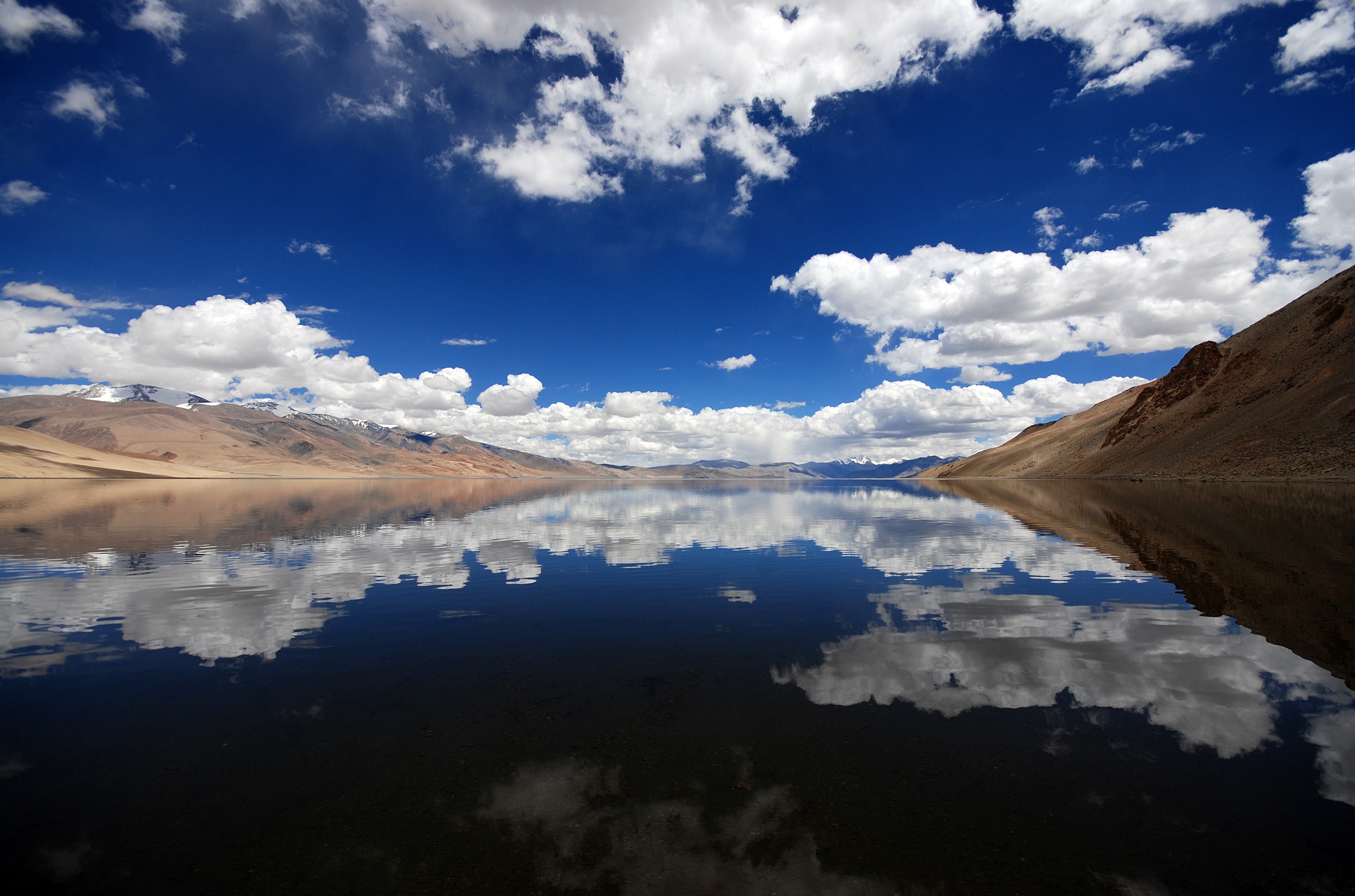
Tso Moriri or Lake Moriri , () or "Mountain Lake", is a pristine high-altitude lake and a Ramsar Wetland Site in the remote Changthang Plateau (literally: northern plains) in Leh district of the union territory of Ladakh in India. As the largest high-altitude lake entirely within India and Ladakh's Trans-Himalayan region, it spans 26 km north-south and 3-5 km wide. The lake is fed by three primary glacial streams - Karzok Phu (west), Gyama Phu (north), and Phirse Phu (southwest) - which form extensive marshes at their deltas. Though now an endorheic lake due to its blocked southern outlet, Tso Moriri maintains slightly brackish yet palatable waters. Its oligotrophic (nutrient-poor), alkaline ecosystem supports unique biodiversity. The area gained protection as the Tso Moriri Wetland Conservation Reserve, though accessibility remains limited mostly to summer months. Year-round settlements exist only at Karzok village (northwest shore) and military outposts along the eastern ... [...More Info...] [...Related Items...] OR: [Wikipedia] [Google] [Baidu] |
Spangnak Ri
Spangnak Ri is a mountain peak located at above sea level in the far west of the Transhimalaya. Location The peak is located in the South-west of Samad Rakchan village in Nyoma tehsil of Ladakh. The prominence is . Transport See transport to Spangnak Ri, Salt Valley, Tso Moriri and Karzok. See also * Geography of Ladakh * Tourism in Ladakh Tourism is one of the economic contributors to the union territory of Ladakh in Northern India. This union territory is located between the Karakoram mountain range to the north and the Himalayas to the south, and is situated at a height of ... References Mountains of the Transhimalayas Six-thousanders of the Transhimalayas Mountains of Ladakh {{Ladakh-geo-stub ... [...More Info...] [...Related Items...] OR: [Wikipedia] [Google] [Baidu] |
Takling La
Takling La is a parallel trek route through the Parana La (pass), located in the Himalayan Mountains. Parana La is the most famous trek route of Spiti and connects Kaza to Karzok. It has an altitude of 18,290 ft (5575 Meters) and follows the traditional trade route between Ladakh and Spiti Valley. This pass was initially used as a trade route between Spiti and Ladakh and was popular throughout the 19th century. Over the years, it diminished in use. In 1993, Romesh Bhattacharjee led a group of students from Delhi through this pass. According to Bhattacharjee, many points along the trail serve as the passage across the ridge known as Takling La (Pass). Geography Takling La is a mountain pass located in the Spiti district of Himachal Pradesh, India. It is a high pass and is parallel to Parang La. The pass is located in between Pare Chu river and Takshan Nala and is most easily accessible from June through September. Trek and tourism Takling La trek starts at Kibber villa ... [...More Info...] [...Related Items...] OR: [Wikipedia] [Google] [Baidu] |
Rupshu
Rupshu is a high elevation plateau and valley and an eponymous community development block in southeast Ladakh. It is between the Startsapuk Tso and Tso Moriri, and west of Mahe. The Salt Valley and the Puga Valley to its north are also part of the bigger Rupshu area.Home Puga Valley: The Geothermal Wonder of Ladakh With 6 Tips For Travelling accessed 5 Feb 2025. The Chumar area disputed by India-China in south-eastern Ladakh lies in Rupshu block, south of the |
Tso Morriri
Tso may refer to: * Tso language, a Savanna language of eastern Nigeria * Tso or Ts'o, several Chinese surnames (e.g., Cao) in dialect or Wade–Giles romanization, which may refer to: ** Zuo Zongtang or General Tso (左宗棠) ** Paul Ts'o (1929–2009), Hong Kong-born biophysical chemist ** Theodore Ts'o Theodore Yue Tak Ts'o (; born 1968) is an American software engineer mainly known for his contributions to the Linux kernel, in particular his contributions to file systems. He is the secondary developer and maintainer of e2fsprogs, the usersp ... (born 1968), an American software developer mainly known for his contributions to the Linux kernel See also * TSO (other) {{disambiguation ... [...More Info...] [...Related Items...] OR: [Wikipedia] [Google] [Baidu] |
Tourism In Ladakh
Tourism is one of the economic contributors to the union territory of Ladakh in Northern India. This union territory is located between the Karakoram mountain range to the north and the Himalayas to the south, and is situated at a height of 11,400 ft (3,475 km). Ladakh is composed of Leh and Kargil districts. The region contains prominent Buddhist sites and has an ecotourism industry. Inner Line Permits There are no open border crossings to the neighbouring Tibet Autonomous Region and Xinjiang, administered by China, or to Gilgit-Baltistan, administered by Pakistan. No special permit is required to visit most of Ladakh, including Leh and Kargil towns. Inner Line Permit (ILP), which can be obtained online, are required for all tourists to visit the "Inner Line" areas, the geostrategic restricted military border areas, such as Nubra Valley; Pangong Tso and Durbuk block (north of the Chang La pass); Tso-Moriri and Tso Kar lakes; Dah and Hanu villages; are ... [...More Info...] [...Related Items...] OR: [Wikipedia] [Google] [Baidu] |
Geography Of Ladakh
Ladakh is an administrative territory of India that has been under its control since 1947. The geographical region of Ladakh union territory is the highest altitude plateau region in India (much of it being over 3,000 m), incorporating parts of the Himalayan and Karakoram mountain ranges and the upper Indus River and valley. Political geography Historic Ladakh consists of a number of distinct areas (mainly under Indian rule), including the fairly populous main Indus valley, the more remote Zanskar (in the south) and Nubra valleys (to the north over Khardung La in the Ladakh mountain range, a high motorable pass at ), the almost deserted Aksai Chin (under Chinese rule) and the predominantly Shi'ite Muslim Kargil and Suru valley areas in the west (Kargil being the second most important town in Ladakh). Historically populated by the Ladakhi people, continued immigration and preferential treatment to Kashmiris by the J&K government have led to demographic changes in t ... [...More Info...] [...Related Items...] OR: [Wikipedia] [Google] [Baidu] |
Demchok, Ladakh
Demchok (), KNAB Place Name Database, retrieved 27 July 2021. previously called New Demchok, and called Parigas () by the Chinese, is a village and military encampment in the Indian-administered Demchok sector, that is disputed between India and China. It is administered as part of the Nyoma tehsil in the Leh district of Ladakh by India, and claimed by China as part of the Tibet Autonomous Region. The Line of Actual Control (LAC) passes along the southeast side of the village, along the Charding Nullah (also called Demchok River and Lhari stream) which joins the Indus River near the village. Across the stream, less than a kilometre away, is a Chinese-administered Demchok, Ngari Prefecture, Demchok village.
|
Nyoma
Nyoma is a principal village of southern Ladakh in India, the headquarters of an eponymous subdivision, tehsil, community development block and Indian Air Force Base in the Leh district.Leh subdivision-blocks It is located on the bank of the river after its 90-degree bend near Dungti east of Nyoma and before the valley narrows to a gorge near Mahe northwest of Nyoma. The Nyoma tehsil and subdivision cover all of southern Ladakh ... [...More Info...] [...Related Items...] OR: [Wikipedia] [Google] [Baidu] |
Chumar
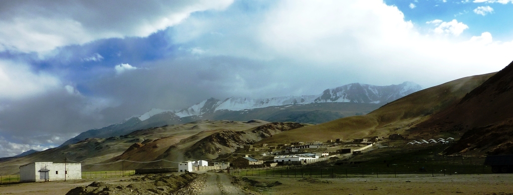
Chumar or Chumur () is a village located in south-eastern region of Ladakh, India and the centre of nomadic grazing. It is in Rupshu block, south of the Tso Moriri lake, on the bank of the Parang River (or ''Pare Chu''), close to Ladakh's border with Tibet. Since 2012, China has disputed the border region situated to the south and southeast of Chumur village within the Chumur sector. However, the Chumur village itself is undisputed and remains in India. The Indian border post at Chumur Peak, offering a view of disputed grazing lands, lies approximately 15-20 km to the south/southwest of Chumur village. In contrast, the Chinese post at Chepzi hamlet is situated 8-10 km south of Chumur village, directly opposite the Indian positions on Chumur Peak. Both Chumur village, nestled in a side valley along the Chumur Tokpo stream (a tributary of the Pare Chu river), and Chepzi are located along the course of the Pare Chu river. Chumar is reachable from east ( Hanle and Demchok), north ... [...More Info...] [...Related Items...] OR: [Wikipedia] [Google] [Baidu] |
Kaza
A kaza (, "judgment" or "jurisdiction") was an administrative divisions of the Ottoman Empire, administrative division of the Ottoman Empire. It is also discussed in English under the names district, subdistrict, and juridical district. Kazas continued to be used by some of the empire's successor states. At present, they are used by administrative divisions of Iraq, Iraq, administrative divisions of Lebanon, Lebanon, Administrative divisions of Jordan, Jordan, and in Arabic language, Arabic discussion of Administrative divisions of Israel, Israel. In these contexts, they are also known by the Arabic name qada, qadā, or qadaa (, ). Former use Ottoman Empire In the Ottoman Empire, a kaza was originally equivalent to the kadiluk, the district subject to the legal and administrative jurisdiction of a kadi (Ottoman Empire), kadi or judge of Islamic law. This usually corresponded to a major city of the empire with its surrounding villages. A small number of kazas made up each sanjak ( ... [...More Info...] [...Related Items...] OR: [Wikipedia] [Google] [Baidu] |


