|
Sabaneta De Yásica
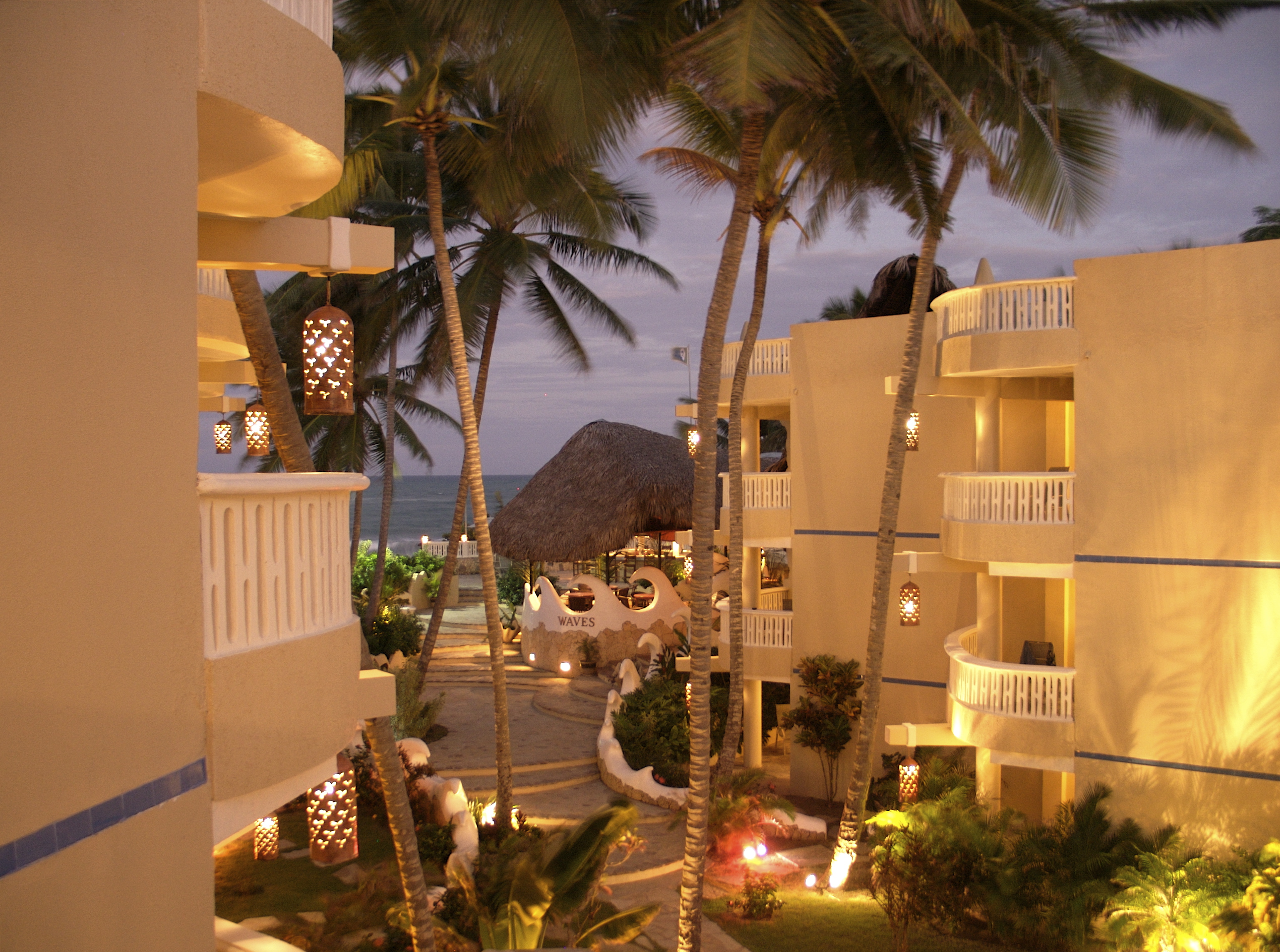
Sabaneta de Yásica is a small municipal district (distrito municipal – D.M.) in the Puerto Plata Province, Puerto Plata Provinces of the Dominican Republic, province on the north coast of the Dominican Republic. Within Sabaneta are ten villages: Villa Islabon, Canta La Rana, Verdun, El Cementerio, El Cruze, La Gallera, El Framboyan, Los Robles, Palo Amarillo and Cuesta Barrosa. The district's cemetery is in the village of El Cementerio. The area has one public school (Enriqueta Omler) and one private school (Colegio Evangelico de Formacion Humana), a number of supermarkets, restaurants, stores, mechanics and an internet café. It has one medical center and various drugstores, but no clinic though there are two just 3 and 5 minutes away in the next town, Villa Progresso. There is a basketball court and numerous billiard sites which serve cold beer and where dominoes can be played. It is about 10 minutes away from Cabarete with its restaurants, bars, and discos; 20 minutes awa ... [...More Info...] [...Related Items...] OR: [Wikipedia] [Google] [Baidu] |
Dominican Republic
The Dominican Republic is a country located on the island of Hispaniola in the Greater Antilles of the Caribbean Sea in the Atlantic Ocean, North Atlantic Ocean. It shares a Maritime boundary, maritime border with Puerto Rico to the east and a Dominican Republic–Haiti border, land border with Haiti to the west, occupying the Geography of the Dominican Republic, eastern five-eighths of Hispaniola which, along with Saint Martin (island), Saint Martin, is one of only two islands in the Caribbean shared by two sovereign states. In the Antilles, the country is the List of Caribbean islands by area, second-largest nation by area after Cuba at and List of Caribbean countries by population, second-largest by population after Haiti with approximately 11.4 million people in 2024, of whom 3.6 million reside in the Greater Santo Domingo, metropolitan area of Santo Domingo, the capital city. The native Taíno people had inhabited Hispaniola prior to European colonization of the America ... [...More Info...] [...Related Items...] OR: [Wikipedia] [Google] [Baidu] |
Provinces Of The Dominican Republic
The Dominican Republic is divided into thirty-one (provinces; singular ), while the Capital (political), national capital, Santo Domingo, is contained within its own Distrito Nacional ("National District"; "D.N." on the map below). The division of the country into provinces is laid down in the constitution (Title I, Section II, Article 5) and enacted by law. The latter is currently Law 5220 on the Territorial Division of the Dominican Republic (), issued 1959 and frequently amended to create new provinces and lower-level administrative units. The provinces as administrative divisions The provinces are the first-level Administrative division, administrative subdivisions of the country. The headquarters of the central government's regional offices are normally found in the capital cities of provinces. The president appoints an administrative governor () for each province but not for the Distrito Nacional (Title IX of the constitution). The provinces are divided into Municipalitie ... [...More Info...] [...Related Items...] OR: [Wikipedia] [Google] [Baidu] |
Cabarete
Cabarete is a town in the Puerto Plata province of the Dominican Republic, noted for its tourism and beaches. It is located on Camino Cinco, locally referred to as Calle Principal, approximately from the airport of Puerto Plata (POP). History Cabarete was founded in 1835 by the merchant Zephaniah Kingsley as part of his Mayorasgo de Koka estate, where he moved along with his mixed-race family and 53 slaves he had freed from his Florida plantations and brought here while the island was under Jean Pierre Boyer's administration. He subsequently brought another 100 slaves. Anna Kingsley had a beach cottage by the harbour. Several descendants of the Kingsleys and of the former slaves live in the area today. Beaches * Cabarete Bay is considered "town" and has hosted many professional kitesurfing competitions like WorldCup/Copa Mundial, Master of the Ocean, PKRA, and WKL. * Kite Beach is 1.5 miles to the west of Cabarete Bay and is a kiting beach. It also has a reef break that i ... [...More Info...] [...Related Items...] OR: [Wikipedia] [Google] [Baidu] |
Sosúa
Sosúa is a beach town in the Puerto Plata province of the Dominican Republic approximately from the Gregorio Luperón International Airport in San Felipe de Puerto Plata. The town is divided into three sectors: ''El Batey'', which is the main tourist section and on the east side of the main beach (Playa Sosúa); ''Los Charamicos'', on the west end of the beach; north of them, toward the airport, is ''Sosúa Abajo''. Sosua is accessed primarily by Camino Cinco, or Highway 5, which runs the country's northern coastline. History The town of Sosúa was officially founded by Jewish refugees fleeing from Nazi Germany. At the 1938 Evian Conference, Rafael Trujillo offered to accept up to 100,000 Jewish refugees; about 800 German and Austrian Jewish refugees received visas issued by the Dominican government between 1940 and 1945 and settled in Sosúa. An agreement was made between Trujillo and Jewish businessmen in New York City. The government provided the settlers with land and ... [...More Info...] [...Related Items...] OR: [Wikipedia] [Google] [Baidu] |

