|
SR-68 (UT)
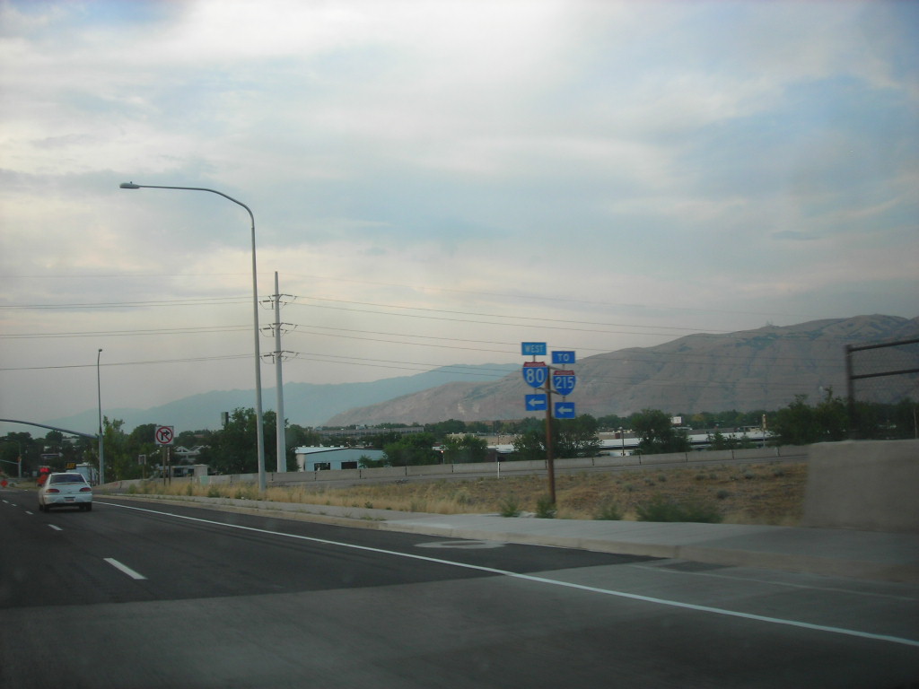
State Route 68 (SR-68) is a state highway in the U.S. state of Utah. It is a major thoroughfare throughout the Wasatch Front as it runs north–south for , linking US-6 near Elberta to US-89 in Woods Cross. The route intersects several major freeways and highways in the Salt Lake City metropolitan area including I-215, I-80, and I-15. The route is more commonly referred to as Redwood Road, after the street it is routed along throughout Salt Lake County. The highway is also routed for a short distance along 500 South and 200 West in Bountiful and Camp Williams Road in Utah County. The route is a surface street for its entire length. SR-68 became a state highway in 1931, at which time the route ran from then–US-40 (North Temple Street) in Salt Lake City to present-day US-89 in Lehi. In 1933, the route was extended north to US-89 at Beck's Hot Springs. SR-68 was routed onto Redwood Road in 1943, taking over what had been designated SR-153. In 1960, SR-68 switche ... [...More Info...] [...Related Items...] OR: [Wikipedia] [Google] [Baidu] |
Elberta, Utah
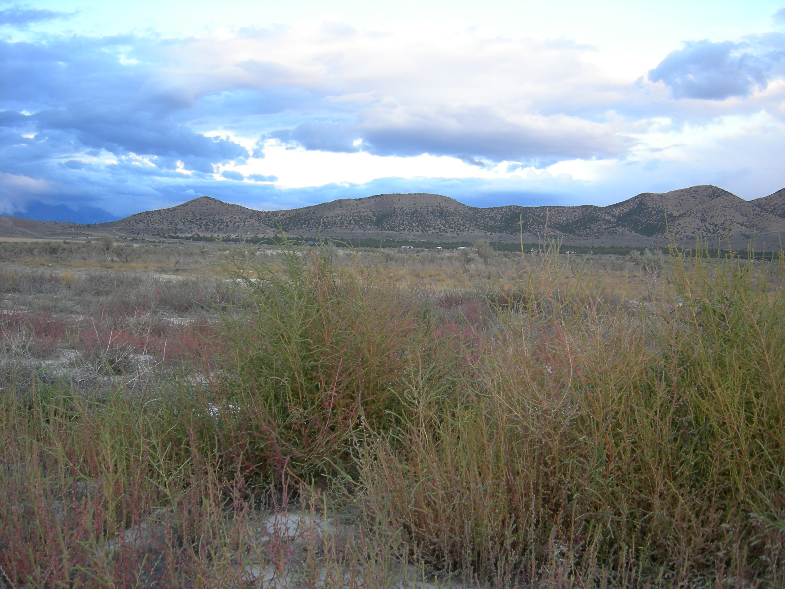
Elberta is a census-designated place (CDP) in Utah County, Utah, Utah County, Utah, United States. It is part of the Provo, Utah, Provo–Orem, Utah, Orem Provo-Orem metropolitan area, Metropolitan Statistical Area. The population was 180 at the 2020 United States Census, 2020 census. It was founded as Mt. Nebo. After the water failed in 1901, most of the early settlers moved away. It was purchased by Matthew B. Whitney, a native of New York (state), New York, on November 7, 1907, and he renamed it "Elberta" after the peach cultivar. Geography Elberta is located near the center of Goshen Valley along U.S. Route 6 in Utah, U.S. Route 6, three miles west of Goshen, Utah, Goshen. According to the United States Census Bureau, the CDP has a total area of , of which is land and , or 0.20%, is water. Demographics As of the census of 2000, there were 278 people, 56 households, and 53 families residing in the CDP. The population density was 20.1 people per square mile (7.7/km2). Th ... [...More Info...] [...Related Items...] OR: [Wikipedia] [Google] [Baidu] |
Interstate 80 In Utah
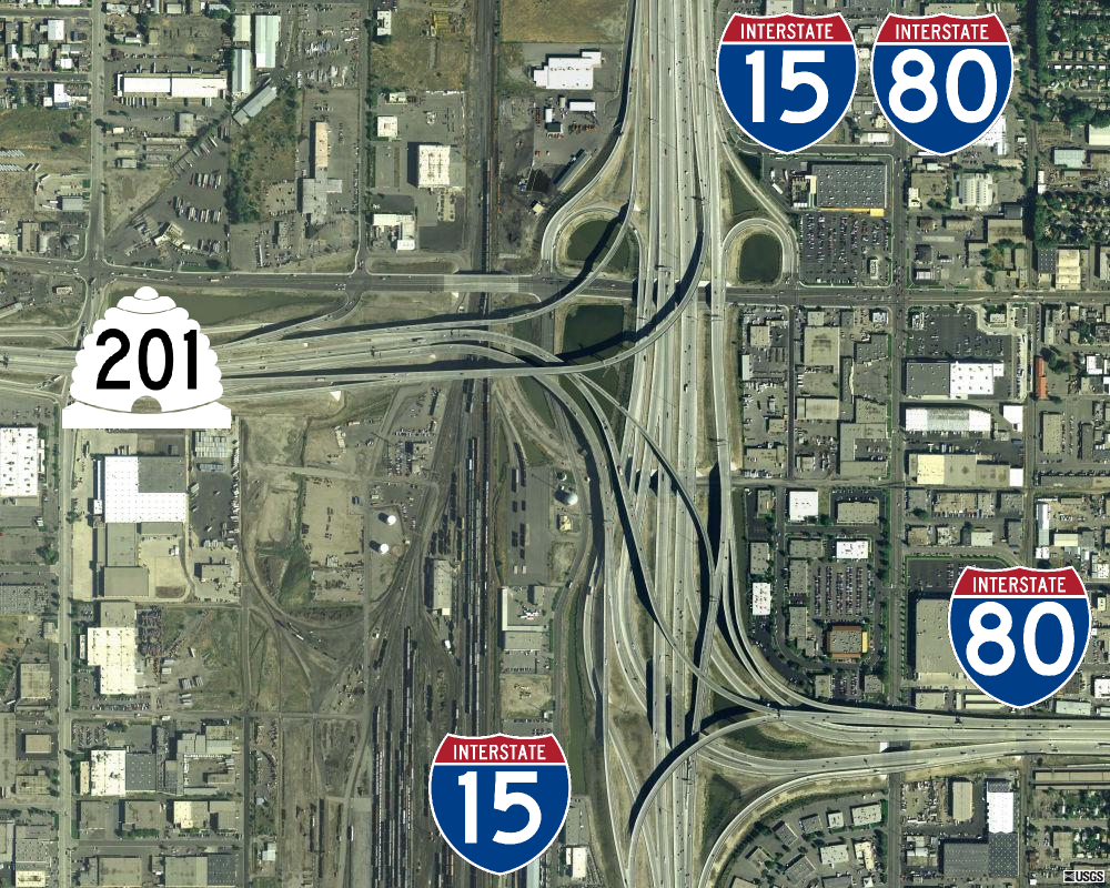
Interstate 80 (I-80) is a part of the Interstate Highway System that runs from San Francisco, California, to Teaneck, New Jersey. The portion of the highway in the US state of Utah is long through the northern part of the state. From west to east, I-80 crosses the state line from Nevada in Tooele County and traverses the Bonneville Salt Flats—which are a part of the larger Great Salt Lake Desert. It continues alongside the Wendover Cut-off—the corridor of the former Victory Highway— US Route 40 (US-40) and the Western Pacific Railroad Feather River Route. After passing the Oquirrh Mountains, I-80 enters the Salt Lake Valley and Salt Lake County. A short portion of the freeway is concurrent with I-15 through Downtown Salt Lake City. At the Spaghetti Bowl, I-80 turns east again into the mouth of Parleys Canyon and Summit County, travels through the mountain range, and intersects the eastern end of I-84 near Echo Reservoir before turning northeast toward ... [...More Info...] [...Related Items...] OR: [Wikipedia] [Google] [Baidu] |
Camp Williams
Camp W. G. Williams, commonly known as Camp Williams, also known as Army Garrison Camp Williams, is a National Guard training site operated by the Utah National Guard. It is located south of Bluffdale, west of Lehi, and north of Saratoga Springs and Cedar Fort, approximately south of Salt Lake City, straddling the border between Salt Lake County and Utah County in the western portion of the Traverse Mountains. Camp Williams is also home to the Non-Commissioned Officer's Basic Leader Course, which is taught to Active, National Guard, and Reserve components. Camp Williams land comprises about of flat area and of mountainous region. History The Utah Army National Guard traces its roots to the Utah Territorial Militia, known as the Nauvoo Legion, which operated under territorial law from 1847 until its dissolution by the Edmunds–Tucker Act of 1887. The Nauvoo Legion functioned similarly to other state militias, requiring service from adult males aged 18 to 45. The m ... [...More Info...] [...Related Items...] OR: [Wikipedia] [Google] [Baidu] |
Mountain View Corridor
The Mountain View Corridor is a freeway under construction in northern Utah that will run along the western periphery of Salt Lake County and south into northwest Utah County. Except for the last several miles on its southern end the Mountain View Corridor is numerically designated as State Route 85 (SR-85) in the Utah state highway system. The entire Mountain View Corridor is maintained by the Utah Department of Transportation (UDOT). Route description Mountain View Corridor is an arterial road that runs roughly parallel to Bangerter Highway (SR-154) one to four miles to the west, built to meet the demand of the growing cities in western Salt Lake and Utah counties. Mountain View Corridor is currently split into two segments. The southern segment starts at SR-73 in Saratoga Springs and runs north before curving east to a junction with Redwood Road, at which point the segment ends and the road continues east as 2100 North ( SR-194). Currently, drivers wishing to continue n ... [...More Info...] [...Related Items...] OR: [Wikipedia] [Google] [Baidu] |
Utah State Route 73
State Route 73 (SR-73) is a state highway in the U.S. state of Utah, connecting the Rush, Cedar, and Utah Valleys. It is a discontinuous route in two segments; one long segment connecting SR-36 to Saratoga Springs, and one short segment within the city of Lehi. Route description Western segment SR-73 begins at an intersection with SR-36 in the Rush Valley, northeast of the town of the same name. It heads southeasterly, climbing slightly to the edge of the Oquirrh Mountains, and then curving between the south end of the range and the Deseret Chemical Depot. When the highway reaches Fivemile Pass, a wind gap between the Oquirrh Mountains and Thorpe Hills, it curves northeast, joining the historic Central Overland Trail (Pony Express route) through the pass and descending into the Cedar Valley. At Fairfield, SR-73 curves north, while the old trail continues its northeasterly path as Lehi-Fairfield Road. The route again curves northeast at Cedar Fort, crossing the vall ... [...More Info...] [...Related Items...] OR: [Wikipedia] [Google] [Baidu] |
Pioneer Crossing
State Route 145 (SR-145), a majority of which is also known as Pioneer Crossing, is a west–east thoroughfare completely within Utah County in northern Utah that cuts through Saratoga Springs, Lehi, American Fork, and portions of unincorporated Utah County. The portion between Interstate 15 (I-15) and U.S. Route 89 (US-89) has been under state jurisdiction since 1978, while the roadway between SR-68 and I-15 (the section named Pioneer Crossing) opened in 2010. The road (and Pioneer Crossing name) were extended from SR-68 to SR-73 in 2014. The road runs mostly parallel to and south of SR-73, which also connects to SR-68 and I-15. The original portion of the route between I-15 (including the interchange) and US-89 is designated as Main Street in American Fork's street grid. Route description Commencing from the route's western terminus in northern Saratoga Springs, SR-145 heads southeast as Pioneer Crossing with two lanes in each direction, divided by a center turn la ... [...More Info...] [...Related Items...] OR: [Wikipedia] [Google] [Baidu] |
Eagle Mountain, Utah
Eagle Mountain is a city in Utah County, Utah. It is part of the Provo–Orem metropolitan area. The city is located to the west as well as north of the Lake Mountains, which are west of Utah Lake. It was incorporated in December 1996 and is rapidly growing. The population was 43,623 at the 2020 census. Eagle Mountain was a town in 2000. It has since been classified as a third-class city in September 2001. In its short history, the city has become known for its rapid growth. History Founding In 1994, John Walden, a real estate developer from Florida, and physicians Scott Gettings and Andrew Zorbis, who all own houses in Park City and come to Utah to ski, bought about 8,000 acres of land in the Cedar Valley at a bankruptcy auction, under the company names of "TI Mortgage" and "Monte Vista Ranch". No one lived in the area they wanted to incorporate, so they, along with developer Debbie Hooge, who lives in what is now in Eagle Mountain, approached those living in two communiti ... [...More Info...] [...Related Items...] OR: [Wikipedia] [Google] [Baidu] |
National Highway System (United States)
The National Highway System (NHS) is a network of strategic highways within the United States, including the Interstate Highway System and other roads serving major airports, ports, military bases, rail or truck terminals, railway stations, pipeline terminals and other strategic transport facilities. Altogether, it constitutes the largest highway system in the world. Individual states are encouraged to focus federal funds on improving the efficiency and safety of this network. The roads within the system were identified by the United States Department of Transportation (USDOT) in cooperation with the states, local officials, and metropolitan planning organizations (MPOs) and approved by the United States Congress in 1995. Legislation The Intermodal Surface Transportation Efficiency Act (ISTEA) in 1991 established certain key routes such as the Interstate Highway System, be included. The act provided a framework to develop a National Intermodal Transportation System which "co ... [...More Info...] [...Related Items...] OR: [Wikipedia] [Google] [Baidu] |
Mosida, Utah
Mosida (or infrequently Mosida-by-the-Lake) is a ghost town located on the southwestern shore of Utah Lake in Utah County, Utah, United States. The nearest inhabited town is Elberta, some to the south. A heavily promoted planned community in the 1910s, Mosida was ultimately a failure. History The land was purchased from the Utah State Land Board in 1909 by a group of three men: R. E. Morrison, Joseph Simpson, and J. E. Davis. They planned to divide the land and sell it in tracts for peach orchards. They named their project ''Mosida'', an acronym formed from the first two letters of each of their surnames. Within months they sold out to a group of promoters from Denver, Colorado who incorporated as the Mosida Fruit Lands Company. The company began to improve the property and advertise to prospective investors and buyers. Since the land west of Utah Lake lacks any major streams, they built a pumphouse at the lake's edge, dug irrigation ditches, and installed a series of pumps ... [...More Info...] [...Related Items...] OR: [Wikipedia] [Google] [Baidu] |
Planned Community
A planned community, planned city, planned town, or planned settlement is any community that was carefully planned from its inception and is typically constructed on previously undeveloped land. This contrasts with settlements that evolve organically. The term ''new town'' refers to planned communities of the new towns movement in particular, mainly in the United Kingdom. It was also common in the European colonization of the Americas to build according to a plan either on fresh ground or on the ruins of earlier Native American villages. A model city is a type of planned city designed to a high standard and intended as a model for others to imitate. The term was first used in 1854. Planned capitals A planned capital is a city specially planned, designed and built to be a capital. Several of the world's national capitals are planned capitals, including Canberra in Australia, Brasília in Brazil, Belmopan in Belize, New Delhi in India, Abuja in Nigeria, Islamabad ... [...More Info...] [...Related Items...] OR: [Wikipedia] [Google] [Baidu] |
Utah Lake
Utah Lake is a shallow freshwater lake in the center of Utah County, Utah, United States. It lies in Utah Valley, surrounded by the Provo- Orem metropolitan area. The lake's only river outlet, the Jordan River, is a tributary of the Great Salt Lake. Evaporation accounts for 42% of the lake's outflow, which leaves the lake slightly saline. The elevation of the lake is at above sea level. If the lake's water level rises above that, the pumps and gates on the Jordan River are left open. The first European to see Utah Lake was Father Silvestre Vélez de Escalante in 1776. He stayed with the Timpanogots band of Ute Tribe for three days. Mormon settlers later settled near the lake beginning in 1849, with the Timpanogots becoming mostly displaced from the area by 1872. The native fish species of the lake were overharvested by the settlers and subsequently restocked with non-native species. Although thirteen species of fish were native to the lake, only the Utah sucker and ... [...More Info...] [...Related Items...] OR: [Wikipedia] [Google] [Baidu] |
Annual Average Daily Traffic
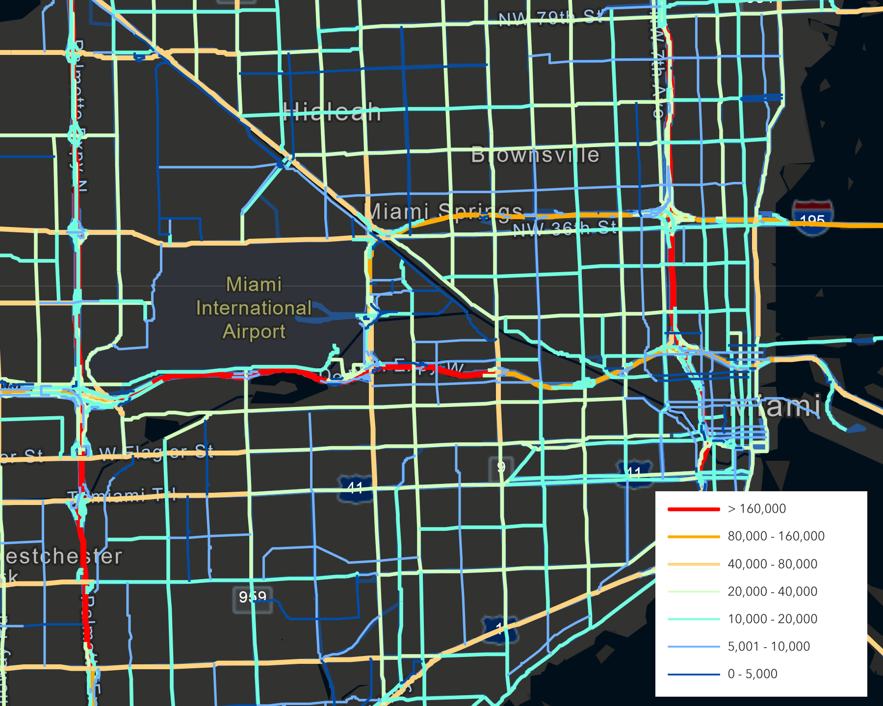
Annual average daily traffic (AADT) is a measure used primarily in transportation planning, transportation engineering and retail location selection. Traditionally, it is the total volume of vehicle traffic of a highway or road for a year divided by 365 days. AADT is a simple, but useful, measurement of how busy the road is. AADT is the standard measurement for vehicle traffic load on a section of road, and the basis for some decisions regarding transport planning, or the environmental hazards of pollution related to road transport. Uses One of the most important uses of AADT is for determining funding for the maintenance and improvement of highways. In the United States, the amount of federal funding a state will receive is related to the total traffic measured across its highway network. Each year on June 15, every state's department of transportation (DOT) submits a Highway Performance Monitoring System (HPMS) report. The HPMS report contains various information regarding t ... [...More Info...] [...Related Items...] OR: [Wikipedia] [Google] [Baidu] |


