|
Roeburndale Formation
The Roeburndale Formation is a geologic formation in England. It preserves fossils dating back to the Carboniferous period. Narrowly defined, it is located around Lancaster, Garstang and Settle. It is part of a wider formation extending across Craven District and Harrogate. The British Geological Survey considers the term obsolete, and refers users to the ''Roeburndale Member'' and the ''Silsden Formation''. It is named for the River Roeburn which has its catchment within the formation. See also * List of fossiliferous stratigraphic units in England See also * Lists of fossiliferous stratigraphic units in Europe * Lists of fossiliferous stratigraphic units in the United Kingdom References * {{DEFAULTSORT:Fossiliferous stratigraphic units in England England England is a Countr ... References External links * Carboniferous System of Europe Carboniferous England Carboniferous southern paleotropical deposits {{England-stub ... [...More Info...] [...Related Items...] OR: [Wikipedia] [Google] [Baidu] |
Formation (stratigraphy)
A geological formation, or simply formation, is a body of rock having a consistent set of physical characteristics (lithology) that distinguishes it from adjacent bodies of rock, and which occupies a particular position in the layers of rock exposed in a geographical region (the stratigraphic column). It is the fundamental unit of lithostratigraphy, the study of strata or rock layers. A formation must be large enough that it can be mapped at the surface or traced in the subsurface. Formations are otherwise not defined by the thickness (geology), thickness of their rock strata, which can vary widely. They are usually, but not universally, tabular in form. They may consist of a single lithology (rock type), or of alternating beds of two or more lithologies, or even a heterogeneous mixture of lithologies, so long as this distinguishes them from adjacent bodies of rock. The concept of a geologic formation goes back to the beginnings of modern scientific geology. The term was used by ... [...More Info...] [...Related Items...] OR: [Wikipedia] [Google] [Baidu] |
Craven District
Craven was a non-metropolitan district in the west of North Yorkshire, centred on the market town of Skipton. The name ''Craven'' is much older than the modern district and encompassed Craven in the Domesday Book, a larger area. This history is also reflected in the way the term is still commonly used, such as by the Church of England. In its modern manifestation, from Local Government Act 1972, 1974 until 2023, Craven was a separate Non-metropolitan district, local government district, formed originally as the merger of Skipton urban district, Settle Rural District and most of Skipton Rural District; all were historically in the West Riding of Yorkshire. Since 1 April 2023, it has formed part of the new North Yorkshire Council unitary authority. The population of the Local Authority area at the United Kingdom 2011 Census, 2011 Census was 55,409; it comprised the upper reaches of Airedale, Wharfedale, Ribblesdale, and includes most of the Aire Gap and Craven Fault#Craven Basin, ... [...More Info...] [...Related Items...] OR: [Wikipedia] [Google] [Baidu] |
Carboniferous System Of Europe
The Carboniferous ( ) is a geologic period and system of the Paleozoic era that spans 60 million years, from the end of the Devonian Period Ma (million years ago) to the beginning of the Permian Period, Ma. It is the fifth and penultimate period of the Paleozoic era and the fifth period of the Phanerozoic eon. In North America, the Carboniferous is often treated as two separate geological periods, the earlier Mississippian and the later Pennsylvanian. The name ''Carboniferous'' means "coal-bearing", from the Latin ("coal") and ("bear, carry"), and refers to the many coal beds formed globally during that time. The first of the modern "system" names, it was coined by geologists William Conybeare and William Phillips in 1822, based on a study of the British rock succession. Carboniferous is the period during which both terrestrial animal and land plant life was well established. Stegocephalia (four-limbed vertebrates including true tetrapods), whose forerunners (tetrapodomor ... [...More Info...] [...Related Items...] OR: [Wikipedia] [Google] [Baidu] |
List Of Fossiliferous Stratigraphic Units In England
See also * Lists of fossiliferous stratigraphic units in Europe * Lists of fossiliferous stratigraphic units in the United Kingdom References * {{DEFAULTSORT:Fossiliferous stratigraphic units in England England England is a Countries of the United Kingdom, country that is part of the United Kingdom. It is located on the island of Great Britain, of which it covers about 62%, and List of islands of England, more than 100 smaller adjacent islands. It ... United Kingdom geology-related lists England geography-related lists ... [...More Info...] [...Related Items...] OR: [Wikipedia] [Google] [Baidu] |
Environment Agency
The Environment Agency (EA) is a non-departmental public body, established in 1996 and sponsored by the United Kingdom government's Department for Environment, Food and Rural Affairs, with responsibilities relating to the protection and enhancement of the environment (biophysical), environment in England (and until 2013 also Wales). Based in Bristol, the Environment Agency is responsible for flood management, waste management, regulating land and water pollution, and conservation. Roles and responsibilities Purpose The Environment Agency's stated purpose is, "to protect or enhance the environment, taken as a whole" so as to promote "the objective of achieving sustainable development" (taken from the Environment Act 1995, section 4). Protection of the environment relates to threats such as flood and pollution. The vision statement, vision of the agency is of "a rich, healthy and diverse environment for present and future generations". Scope The Environment Agency's remit c ... [...More Info...] [...Related Items...] OR: [Wikipedia] [Google] [Baidu] |
River Roeburn
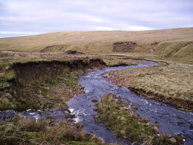
The River Roeburn is a river in Lancashire, England England is a Countries of the United Kingdom, country that is part of the United Kingdom. It is located on the island of Great Britain, of which it covers about 62%, and List of islands of England, more than 100 smaller adjacent islands. It .... Sourced at Salter Fell, the Roeburn flows northwards through Roeburndale to Wray, where it joins the River Hindburn. Flash flooding of the river in 1967 caused substantial damage to the village of Wray. References External links Roeburn, River Roeburn Forest of Bowland 3Roeburn {{England-river-stub ... [...More Info...] [...Related Items...] OR: [Wikipedia] [Google] [Baidu] |
British Geological Survey
The British Geological Survey (BGS) is a partly publicly funded body which aims to advance Earth science, geoscientific knowledge of the United Kingdom landmass and its continental shelf by means of systematic surveying, monitoring and research. The BGS headquarters are in Keyworth, Nottinghamshire, England. Its other centres are located in Edinburgh, Wallingford, Oxfordshire, Wallingford, Cardiff and London. The current tagline of the BGS is: ''Understanding our Earth''. History and previous names The Geological Survey was founded in 1835 by the Board of Ordnance as the Geological Survey of Great Britain, under Directors of the British Geological Survey, directorship of Henry De la Beche. This was the world's first national Geological Survey, geological survey. It remained a branch of the Ordnance Survey for many years. In 1965, it was merged with the Geological Museum and Overseas Geological Surveys, under the name of Institute of Geological Sciences. In 1969, Beris Cox was ... [...More Info...] [...Related Items...] OR: [Wikipedia] [Google] [Baidu] |
Harrogate
Harrogate ( ) is a spa town and civil parish in the North Yorkshire District, district and North Yorkshire, county of North Yorkshire, England. Historic counties of England, Historically in the West Riding of Yorkshire, the town is a tourist destination; its visitor attractions include its spa waters and Harlow Carr, RHS Harlow Carr gardens. Yorkshire Dales National Park and the Nidderdale AONB are away from the town centre. In the 17th century, Harrogate grew out of two smaller settlements, High Harrogate and Low Harrogate. For three consecutive years (2013–2015), polls voted the town as "the happiest place to live" in Britain. Harrogate spa water contains iron, sulphur, and common salt (NaCl). The town became known as 'The English Spa' in the Georgian era, after its waters were discovered in the 16th century. In the 17th and 18th centuries its 'chalybeate' waters (containing iron) were a popular health treatment, and the influx of wealthy but sickly visitors contributed sig ... [...More Info...] [...Related Items...] OR: [Wikipedia] [Google] [Baidu] |
Settle, North Yorkshire
Settle is a market town and civil parishes in England, civil parish in North Yorkshire, England. Historic counties of England, Historically in the West Riding of Yorkshire, the town had a population of 2,421 in the 2001 United Kingdom census, 2001 census, increasing to 2,564 at the 2011 United Kingdom census, 2011 census. History Settle is thought to have 7th-century Angles (tribe), Anglian origins, its name being the Angle word for settlement. Craven in the Domesday Book#The Land of Roger de Poitou in Yorkshire, Domesday Book folio 332, Craven in the ''Domesday Book'' shows that until 1066 Bo was the lord of Settle but after the Harrying of the North (1069–1071) the land was granted to Roger de Poitou. In 1250, a market charter was granted to House of Percy#Prominent members, Henry de Percy, 7th feudal baron of Topcliffe by Henry III of England, Henry III. A market square developed and the main route through the medieval town was aligned on an east–west direction, from Albe ... [...More Info...] [...Related Items...] OR: [Wikipedia] [Google] [Baidu] |
Carboniferous
The Carboniferous ( ) is a Geologic time scale, geologic period and System (stratigraphy), system of the Paleozoic era (geology), era that spans 60 million years, from the end of the Devonian Period Ma (million years ago) to the beginning of the Permian Period, Ma. It is the fifth and penultimate period of the Paleozoic era and the fifth period of the Phanerozoic eon (geology), eon. In North America, the Carboniferous is often treated as two separate geological periods, the earlier Mississippian (geology), Mississippian and the later Pennsylvanian (geology), Pennsylvanian. The name ''Carboniferous'' means "coal-bearing", from the Latin ("coal") and ("bear, carry"), and refers to the many coal beds formed globally during that time. The first of the modern "system" names, it was coined by geologists William Conybeare (geologist), William Conybeare and William Phillips (geologist), William Phillips in 1822, based on a study of the British rock succession. Carboniferous is the per ... [...More Info...] [...Related Items...] OR: [Wikipedia] [Google] [Baidu] |
Garstang
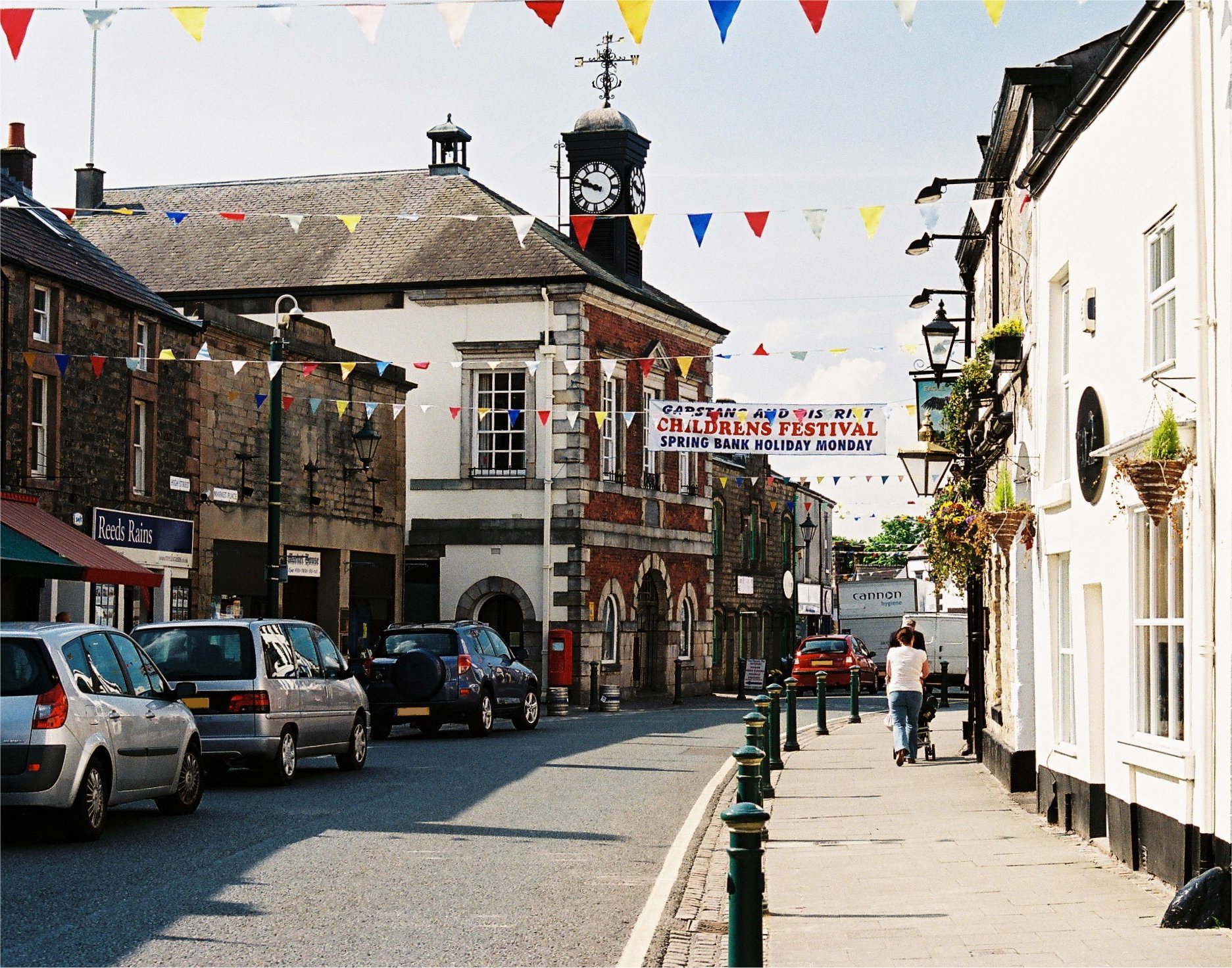
Garstang is an ancient market town and civil parish within the Wyre borough of Lancashire, England. It is north of the city of Preston and the same distance south of Lancaster. In 2011, the parish had a total resident population of 4,268; the larger Garstang Built-up Area, which includes the adjoining settlements of Bonds and Cabus, had population of 6,779. Garstang is famous for being the world's first ever Fairtrade Town. Etymology Garstang is mentioned in the Domesday Book of 1086 as ''Cherestanc''. Later recordings of the name include Geresteng, Gairstang in 1195; Grestein, 1204; Gayrestan, 1236; Gayerstang, 1246; Gayrstang, 1274; Gayrestang, 1292. The original spelling of Garstang has several interpretations: "'gore by the boundary pole", "spear post", "triangular piece of land", "common land" or "meadowland". Possibly signifying the site of a meeting-space. The Old Norse derivation being 'geiri', a gore, from 'geirr', with 'stang' or 'stǫng', meaning "pole" or ... [...More Info...] [...Related Items...] OR: [Wikipedia] [Google] [Baidu] |
Lancaster, Lancashire
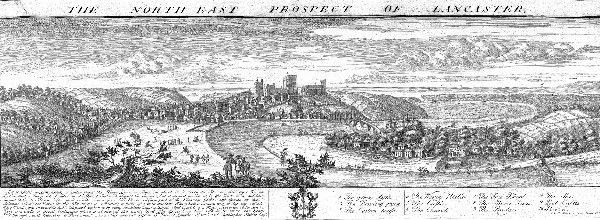
Lancaster (, ) is a city in Lancashire, England, and the main cultural hub, economic and commercial centre of City of Lancaster district. The city is on the River Lune, directly inland from Morecambe Bay. Lancaster is the county town, although Lancashire County Council has been based at County Hall, Preston, County Hall in Preston, Lancashire, Preston since its formation in 1889. The city's long history is marked by Lancaster Roman Fort, Lancaster Castle, Lancaster Priory, Lancaster Priory Church, Lancaster Cathedral and the Ashton Memorial. It is the seat of Lancaster University and has a campus of the University of Cumbria. It had a population of 52,234 in the 2011 census, compared to the district, which had a population of 138,375. The House of Lancaster was a branch of the List of English monarchs, English royal family. The Duchy of Lancaster still holds large estates on behalf of Charles III, who is the Duke of Lancaster. The Port of Lancaster and the 18th-century Lancas ... [...More Info...] [...Related Items...] OR: [Wikipedia] [Google] [Baidu] |


