|
Rocker, Montana
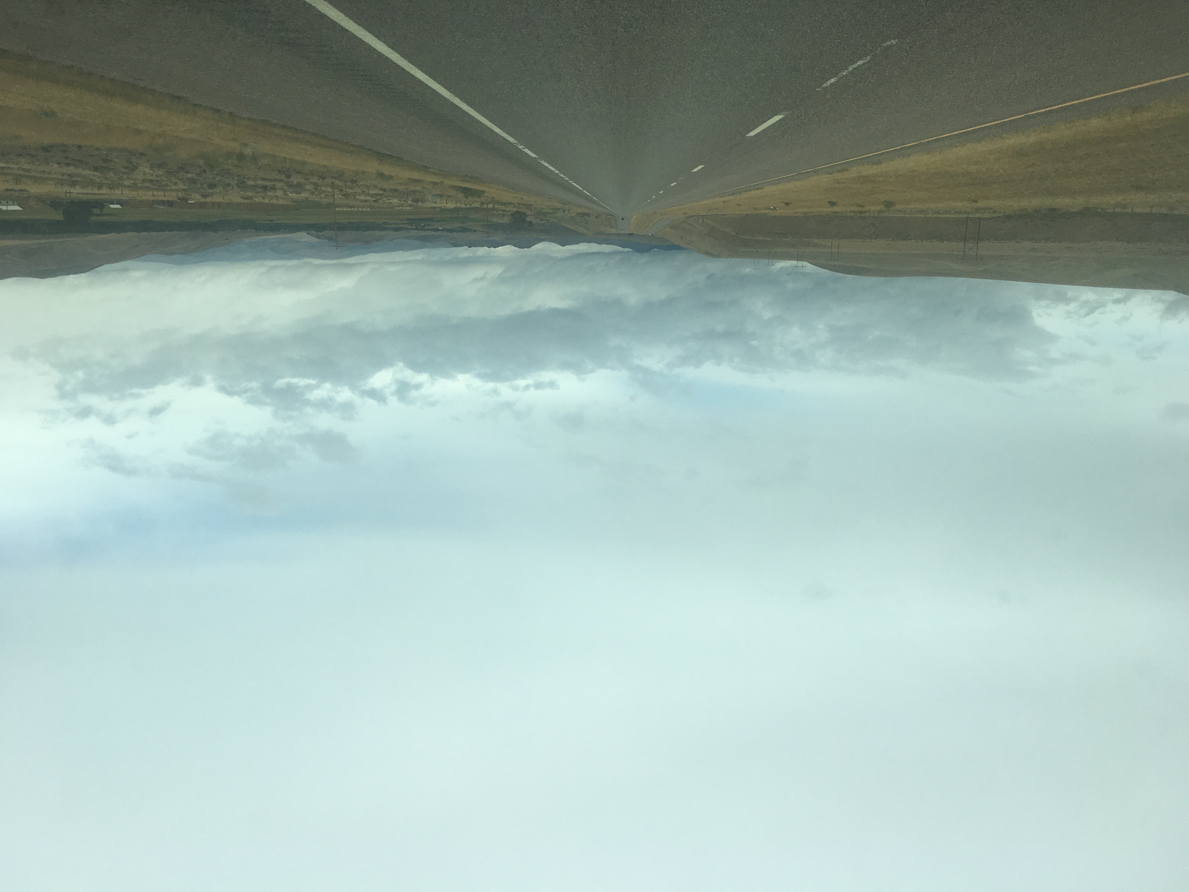
Rocker is a suburb of Butte, Montana, United States. It is located three miles west of Butte, Montana, Butte. Rocker is best known for its two truck stops, one each on the north and south side of the highway. There is a nearby Port of Montana transportation hub near the intersection of Interstates Interstate 15 in Montana, 15 and Interstate 90 in Montana, 90. Rocker has approximately 150 citizens. There is a small volunteer fire station, but the town relies on the Butte Silver Bow Sheriff's Department and the Montana Highway Patrol for police, and the St James Hospital in Butte, two miles away, for medical services. One mile south on I-15 is Silver Bow, a Montana transportation hub, which is served by cargo trains and semis. References Populated places in Silver Bow County, Montana Neighborhoods in Montana {{SilverBowCountyMT-geo-stub ... [...More Info...] [...Related Items...] OR: [Wikipedia] [Google] [Baidu] |
Butte, Montana
Butte ( ) is a consolidated city-county and the county seat of Silver Bow County, Montana, United States. In 1977, the city and county governments consolidated to form the sole entity of Butte-Silver Bow. The city covers , and, according to the 2020 United States Census, 2020 census, has a population of 34,494, making it Montana's List of municipalities in Montana, fifth-largest city. It is served by Bert Mooney Airport with airport code BTM. Established in 1864 as a mining camp in the northern Rocky Mountains on the Continental Divide of the Americas, Continental Divide, Butte experienced rapid development in the late 19th century, and was Montana's first major industrial city. In its heyday between the late 19th and early 20th centuries, it was one of the largest copper boomtown, boom towns in the American West. Employment opportunities in the mines attracted surges of Asian and European immigrants, particularly the Irish people, Irish; as of 2017, Butte has the largest populati ... [...More Info...] [...Related Items...] OR: [Wikipedia] [Google] [Baidu] |
Interstate 15 In Montana
In the U.S. state of Montana, Interstate 15 (I-15) continues onward from Idaho for nearly through the cities of Butte, Helena, and Great Falls, intersecting with I-90, I-115, and I-315. I-15 reaches its northern terminus at the international border with Alberta, Canada. I-15 is additionally named as the First Special Service Force Memorial Highway from Helena to the Alberta border, where Alberta Highway 4 continues into Canada retaining that designation. I-15 joins with I-90 and makes a junction with a short, spur route I-115 in Butte. Route description I-15 crosses into Montana from Idaho just south of Lima Reservoir over Monida Pass, at , the highest elevation on the entire route of I-15. The route continues northwest through farmland and desert. The freeway turns north at Clark Canyon Reservoir, before turning northeast. In the town of Dillon, I-15 passes near Clark's Lookout State Park before beginning to parallel the Big Hole River. The freeway then ... [...More Info...] [...Related Items...] OR: [Wikipedia] [Google] [Baidu] |
Interstate 90 In Montana
Interstate 90 (I-90) is an east–west transcontinental Interstate Highway across the northern United States, linking Seattle to Boston. The portion in the state of Montana is in length, passing through 14 counties in central and southern Montana. It is the longest segment of I-90 within a single state. Route description Mineral County I-90 enters Montana and Mineral County, Montana, Mineral County from Shoshone County, Idaho, Shoshone County, Idaho over the high Lookout Pass, which traverses the Coeur d'Alene Mountains of the Bitterroot Range, and immediately has its first interchange (road), interchange, a partial cloverleaf interchange serving extreme northwest Mineral County and access to Lookout Pass Ski and Recreation Area. The highway continues southeasterly through woodlands, paralleling the St. Regis River (Montana), St. Regis River, before meeting the Dena Mora (Lookout Pass) rest area east of the Idaho–Montana border. About from the rest stop is a diamo ... [...More Info...] [...Related Items...] OR: [Wikipedia] [Google] [Baidu] |
Populated Places In Silver Bow County, Montana
Population is a set of humans or other organisms in a given region or area. Governments conduct a census to quantify the resident population size within a given jurisdiction. The term is also applied to non-human animals, microorganisms, and plants, and has specific uses within such fields as ecology and genetics. Etymology The word ''population'' is derived from the Late Latin ''populatio'' (a people, a multitude), which itself is derived from the Latin word ''populus'' (a people). Use of the term Social sciences In sociology and population geography, population refers to a group of human beings with some predefined feature in common, such as location, race, ethnicity, nationality, or religion. Ecology In ecology, a population is a group of organisms of the same species which inhabit the same geographical area and are capable of interbreeding. The area of a sexual population is the area where interbreeding is possible between any opposite-sex pair within the ... [...More Info...] [...Related Items...] OR: [Wikipedia] [Google] [Baidu] |


