|
River Team
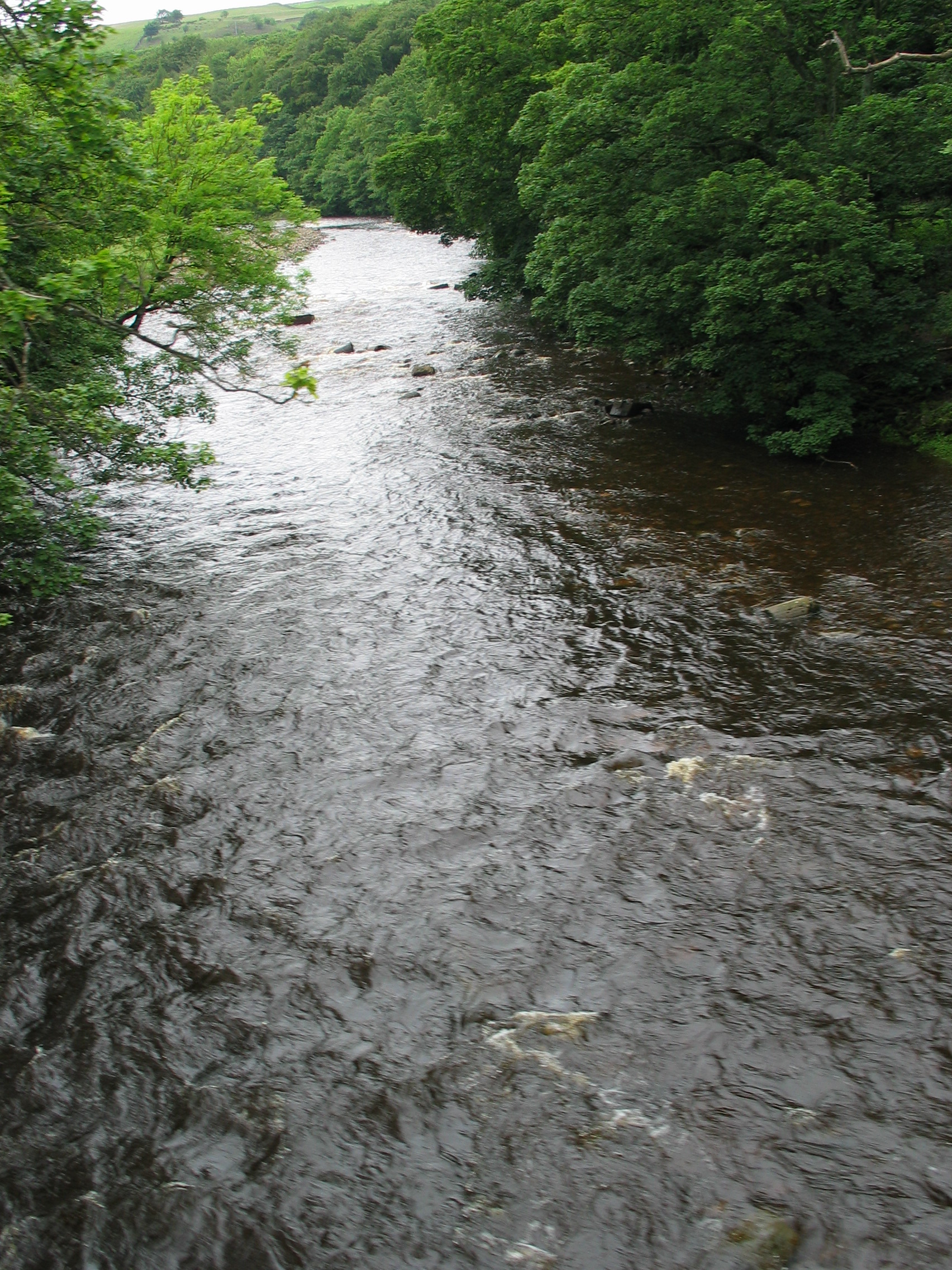
The River Team is a tributary of the River Tyne in Gateshead, England. Etymology The name ''Team'' may have a Common Brittonic, Brittonic origin. The name may be from the Brittonic root ''tā-'', with a sense of "melting, thawing, dissolving", plus a nasal root determinative, giving a form of ''*tā-m-'' or ''*tā-n-''. However, ''Team'' has also been associated with the Proto-Indo-European language, Indo-European ''*temhx-'', "dark" and ''*tṃh-'', "cut" or "be cut". Course Its source is near Annfield Plain, where it is known as Kyo Burn. Then changing its name again to Causey Burn as it flows underneath the famous Causey Arch. It then flows past Beamish Museum in County Durham (where it is known as Beamish Burn) then crosses the border into Gateshead flowing through Lamesley. Continuing on into the Team Valley, the river flows through a culvert in the middle of the roundabout underneath the A1 road (Great Britain), A1 road, it then continues through the Team Valley Trading E ... [...More Info...] [...Related Items...] OR: [Wikipedia] [Google] [Baidu] |
Gateshead
Gateshead () is a town in the Gateshead Metropolitan Borough of Tyne and Wear, England. It is on the River Tyne's southern bank. The town's attractions include the twenty metre tall Angel of the North sculpture on the town's southern outskirts, The Glasshouse International Centre for Music and the Baltic Centre for Contemporary Art. The town shares the Gateshead Millennium Bridge, Millennium Bridge, Tyne Bridge and multiple other bridges with Newcastle upon Tyne. Historic counties of England, Historically part of County Durham, under the Local Government Act 1888 the town was made a county borough, meaning it was administered independently of the county council. In the 2021 United Kingdom census, 2021 Census, the town had a population of 196,151. Etymology Gateshead is first mentioned in Latin translation in Bede, Bede's ''Ecclesiastical History of the English People'' as ''ad caput caprae'' ("at the goat's head"). This interpretation is consistent with the later English attes ... [...More Info...] [...Related Items...] OR: [Wikipedia] [Google] [Baidu] |
Team Valley
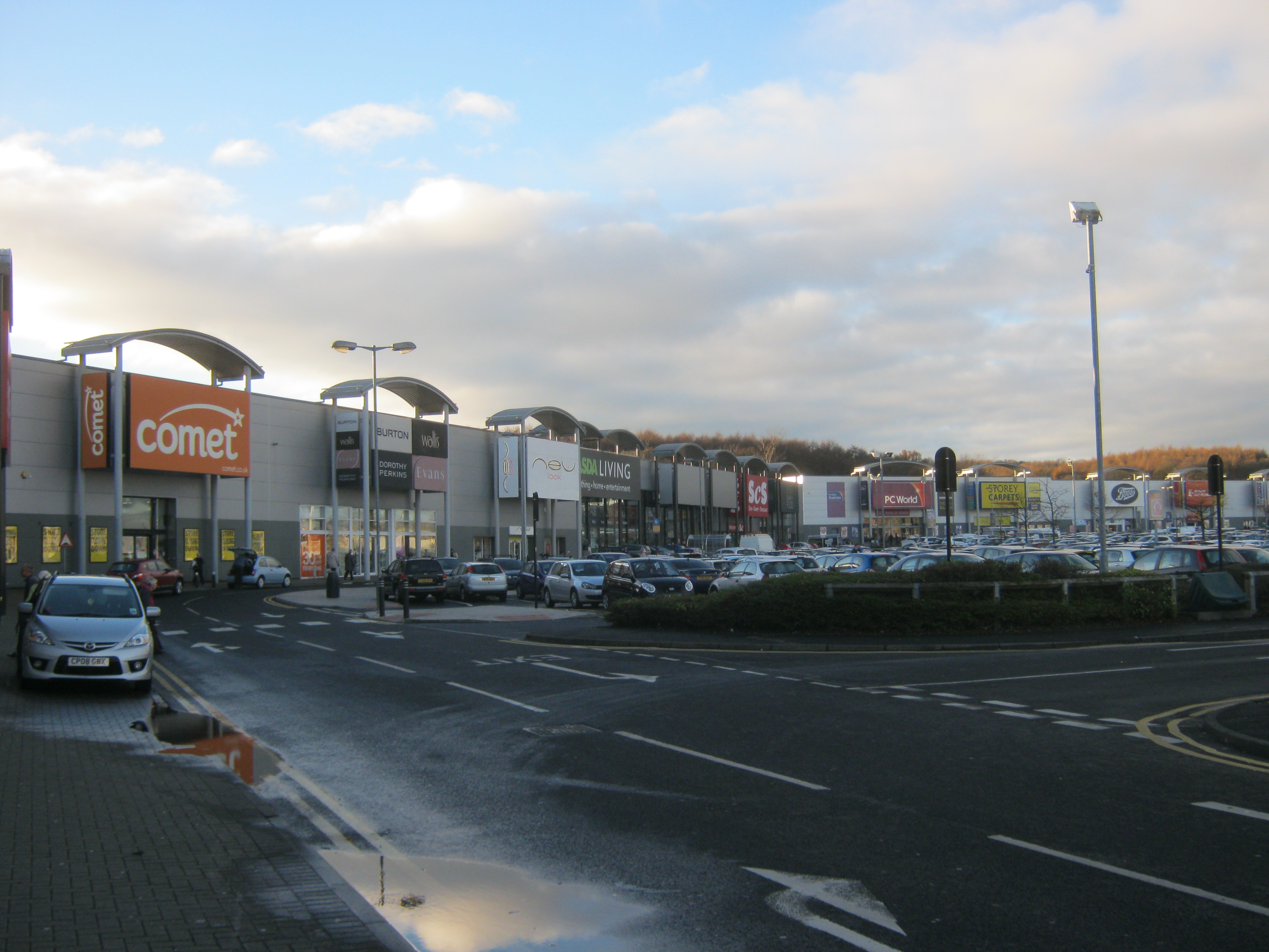
Team Valley is a trading estate located in Gateshead. It is home to the Retail World retail park, with many large, international companies based in the area's trading estate. In 2017, there were approximately 700 companies on the estate, employing approximately 20,000 people. The residential area known as the Teams is adjacent to Dunston, Tyne and Wear, Dunston. History In the 1930s, the Government decided to spend nearly £2 million on this part of Gateshead, establishing the Team Valley Trading Estate as a well-planned industrial environment. The architect in charge was William Holford, with Hugh Beaver as chief engineer. It included a central headquarters, now used by English Partnerships, a bank, post office, and some modestly scaled industrial buildings, as well as some smaller industrial units for start-up ventures. These facilities were laid out along a wide central artery, known as ''Kingsway'', almost long. Work on the estate began in May 1936, and the first factory ... [...More Info...] [...Related Items...] OR: [Wikipedia] [Google] [Baidu] |
Rivers Of County Durham
A river is a natural stream of fresh water that flows on land or inside Subterranean river, caves towards another body of water at a lower elevation, such as an ocean, lake, or another river. A river may run dry before reaching the end of its course if it runs out of water, or only flow during certain seasons. Rivers are regulated by the water cycle, the processes by which water moves around the Earth. Water first enters rivers through precipitation, whether from rainfall, the Runoff (hydrology), runoff of water down a slope, the melting of glaciers or snow, or seepage from aquifers beneath the surface of the Earth. Rivers flow in channeled watercourses and merge in confluences to form drainage basins, or catchments, areas where surface water eventually flows to a common outlet. Rivers have a great effect on the landscape around them. They may regularly overflow their Bank (geography), banks and flood the surrounding area, spreading nutrients to the surrounding area. Sedime ... [...More Info...] [...Related Items...] OR: [Wikipedia] [Google] [Baidu] |
Sunderland, Tyne And Wear
Sunderland () is a port City status in the United Kingdom, city and metropolitan borough in Tyne and Wear, England. It is a port at the mouth of the River Wear on the North Sea, approximately south-east of Newcastle upon Tyne. It is the most populous settlement in the Wearside conurbation and the second most populous settlement in North East England after Newcastle. Sunderland was once known as 'the largest shipbuilding town in the world' and once made a quarter of all of the world's ships from its famous yards, which date back to 1346 on the River Wear. The centre of the modern city is an amalgamation of three settlements founded in the Anglo-Saxons, Anglo-Saxon era: Monkwearmouth, on the north bank of the Wear, and Sunderland and Bishopwearmouth on the south bank. Monkwearmouth contains St Peter's Church, Monkwearmouth, St Peter's Church, which was founded in 674 and formed part of Monkwearmouth–Jarrow Abbey, a significant centre of learning in the seventh and eighth cent ... [...More Info...] [...Related Items...] OR: [Wikipedia] [Google] [Baidu] |
River Wear
The River Wear (, ) in Northern England rises in the Pennines and flows eastwards, mostly through County Durham, to the North Sea in the City of Sunderland. At long, it is one of the region's longest rivers. The Wear wends in a steep valley through the cathedral city of Durham and gives its name to Weardale in its upper reach and Wearside by its mouth. Etymology The origin behind the hydronym ''Wear'' is uncertain but is generally understood to be Celtic. The ''River Vedra'' on the Roman Map of Britain may very well be the River Wear. The name may be derived from Brittonic ''*wejr'' (<''*wẹ:drā''), which meant "a bend" (cf. Welsh ''-gwair-''). An alternative but very problematic etymology might involve ''*wẹ:d-r-'', from a lengthened form of the |
Angiosperm
Flowering plants are plants that bear flowers and fruits, and form the clade Angiospermae (). The term angiosperm is derived from the Greek words (; 'container, vessel') and (; 'seed'), meaning that the seeds are enclosed within a fruit. The group was formerly called Magnoliophyta. Angiosperms are by far the most diverse group of land plants with 64 orders, 416 families, approximately 13,000 known genera and 300,000 known species. They include all forbs (flowering plants without a woody stem), grasses and grass-like plants, a vast majority of broad-leaved trees, shrubs and vines, and most aquatic plants. Angiosperms are distinguished from the other major seed plant clade, the gymnosperms, by having flowers, xylem consisting of vessel elements instead of tracheids, endosperm within their seeds, and fruits that completely envelop the seeds. The ancestors of flowering plants diverged from the common ancestor of all living gymnosperms before the end of the ... [...More Info...] [...Related Items...] OR: [Wikipedia] [Google] [Baidu] |
Invertebrate
Invertebrates are animals that neither develop nor retain a vertebral column (commonly known as a ''spine'' or ''backbone''), which evolved from the notochord. It is a paraphyletic grouping including all animals excluding the chordata, chordate subphylum Vertebrata, i.e. vertebrates. Well-known Phylum, phyla of invertebrates include arthropods, molluscs, annelids, echinoderms, flatworms, cnidarians, and sponges. The majority of animal species are invertebrates; one estimate puts the figure at 97%. Many invertebrate taxon, taxa have a greater number and diversity of species than the entire subphylum of Vertebrata. Invertebrates vary widely in size, from 10 Micrometre, μm (0.0004 in) myxozoans to the 9–10 m (30–33 ft) colossal squid. Some so-called invertebrates, such as the Tunicata and Cephalochordata, are actually sister chordate subphyla to Vertebrata, being more closely related to vertebrates than to other invertebrates. This makes the "invertebrates" para ... [...More Info...] [...Related Items...] OR: [Wikipedia] [Google] [Baidu] |
Dunston, Tyne And Wear
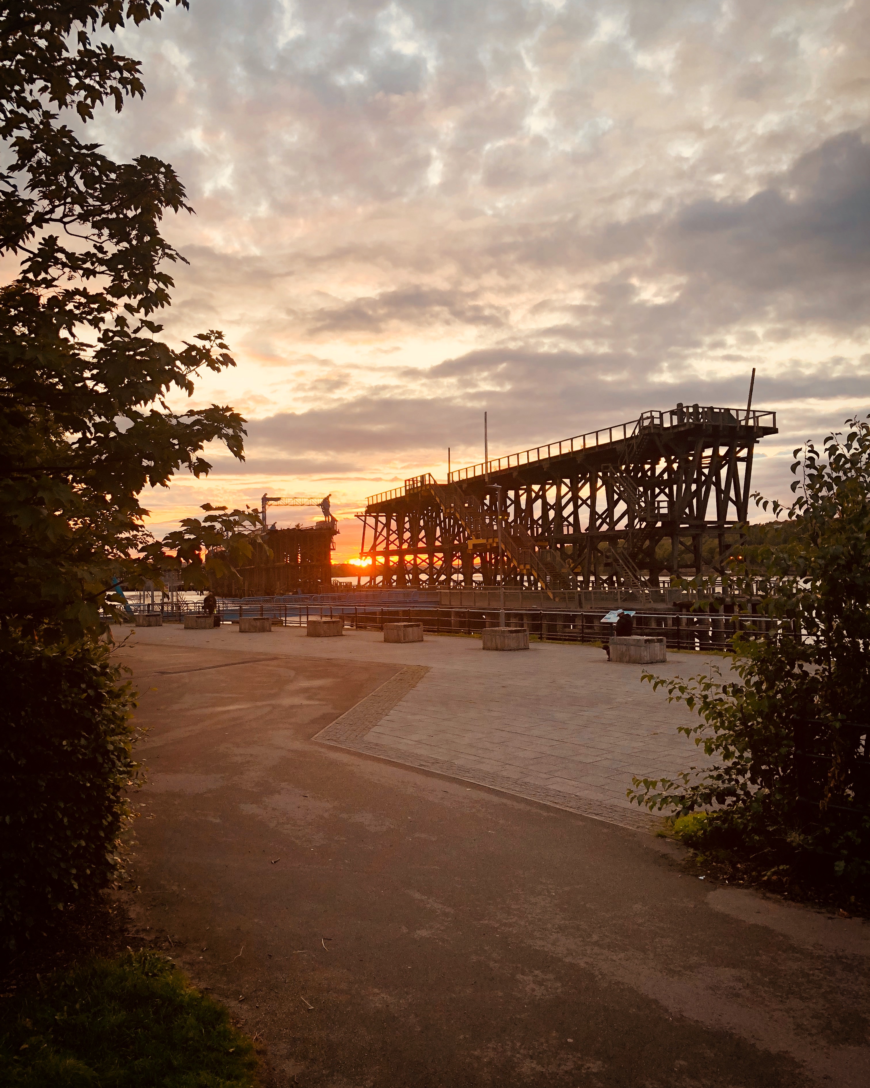
Dunston is a western area of the town of Gateshead on the south bank of the River Tyne, in the Metropolitan Borough of Gateshead, North East England (into which it was absorbed in 1974). Dunston had a population of 18,326 at the United Kingdom Census 2011, 2011 Census. History It has been speculated that Dunston started its existence as a farm or estate of a man named Dunn. Historically part of County Durham, Dunston was first mentioned in 1328. Salmon fishing and farming were important industries in Dunston from at least the 14th century. Coal mining on a small-scale was also important but by the 17th century, the proximity of the river aided the development of large-scale coal mining in the village. During the Great Flood of 1771, Great Tyne Flood of 1771 villagers had to be rescued by boat from the roofs and upper stories of their houses. Area Dunston is served by Dunston railway station on the Tyne Valley Line. Dunston is split into two areas separated by the A1 road (G ... [...More Info...] [...Related Items...] OR: [Wikipedia] [Google] [Baidu] |
A1 Road (Great Britain)
The A1, also known as the Great North Road, is the longest numbered road in the United Kingdom, at . It connects Greater London, London, the capital of England, with Edinburgh, the capital of Scotland. The numbering system for A-roads, devised in the early 1920s, was based around patterns of roads radiating from two hubs at London and Edinburgh. The first number in the system, A1, was given to the most important part of that system: the road from London to Edinburgh, joining the two central points of the system and linking two of the UK's mainland capital cities. It passes through or near north London, Hatfield, Hertfordshire, Hatfield, Stevenage, Baldock, Biggleswade, Peterborough, Stamford, Lincolnshire, Stamford, Grantham, Newark-on-Trent, Retford, Doncaster, Pontefract, York, Wetherby, Ripon, Darlington, Durham, England, Durham, Gateshead, Newcastle upon Tyne, Morpeth, Northumberland, Morpeth, Alnwick, Berwick-upon-Tweed, Dunbar, Haddington, East Lothian, Haddington, Muss ... [...More Info...] [...Related Items...] OR: [Wikipedia] [Google] [Baidu] |


