|
River Barrow
The Barrow () is a river in Republic of Ireland, Ireland. It is one of The Three Sisters (Ireland), The Three Sisters; the other two being the River Suir and the River Nore. The Barrow is the longest of the three rivers and, at 192 km (120 mi), the second-longest river in Ireland, behind the River Shannon. The catchment area of the River Barrow is 3,067 km2 before the River Nore joins it a little over 20 km before its mouth.South Eastern River Basin District Management System. Page 38 The river's long term average flow rate, again before it is joined by River Nore, is 37.4 cubic metres per second. At the merger with the River Nore, its catchment area is ca. 5,500 km2 and its discharge over 80&nb ... [...More Info...] [...Related Items...] OR: [Wikipedia] [Google] [Baidu] |
Proto-Celtic
Proto-Celtic, or Common Celtic, is the hypothetical ancestral proto-language of all known Celtic languages, and a descendant of Proto-Indo-European. It is not attested in writing but has been partly Linguistic reconstruction, reconstructed through the comparative method. Proto-Celtic is generally thought to have been spoken between 1300 and 800 BC, after which it began to split into different languages. Proto-Celtic is often associated with the Urnfield culture and particularly with the Hallstatt culture. Celtic languages share common features with Italic languages that are not found in other branches of Indo-European, suggesting the possibility of an earlier Italo-Celtic linguistic unity. Proto-Celtic is currently being reconstructed through the comparative method by relying on later Celtic languages. Though Continental Celtic presents much substantiation for Proto-Celtic phonology, and some for its morphology (linguistics), morphology, recorded material is too scanty to allow ... [...More Info...] [...Related Items...] OR: [Wikipedia] [Google] [Baidu] |
River Greese
The River Greese (also spelled Griese; ) is a small, fast-flowing river in south-east, Ireland, and a tributary of the River Barrow. Name The river takes its name from Killeen Cormac, which bears the name ''capella de Gris'' ("Gris Chapel") in ''Crede Mihi'', a c. 1280 ancient register of the Archbishops of Dublin, with the name also spelled ''Grys''/''Gryse'' in later accounts, and the ''rivulus de Grys'' appearing in John Alen's 1533 ''Reportorium Viride''. Jacob Nevill's 1760 map shows the ''River Greeces'', while ''Greese'' is the spelling generally used in the modern day, although ''Griese'' is also used. Course The river rises near Dunlavin, County Wicklow in the townland of Tober. It then runs south-west and forms part of the County Wicklow/Kildare border. The Greese continues west past Killeen Cormac (formerly ''capella de Gris'', from which the river takes its name). It is bridged by the R448 road at Moyleabbey, County Kildare. It meets a tributary in Crookstow ... [...More Info...] [...Related Items...] OR: [Wikipedia] [Google] [Baidu] |
Carlow
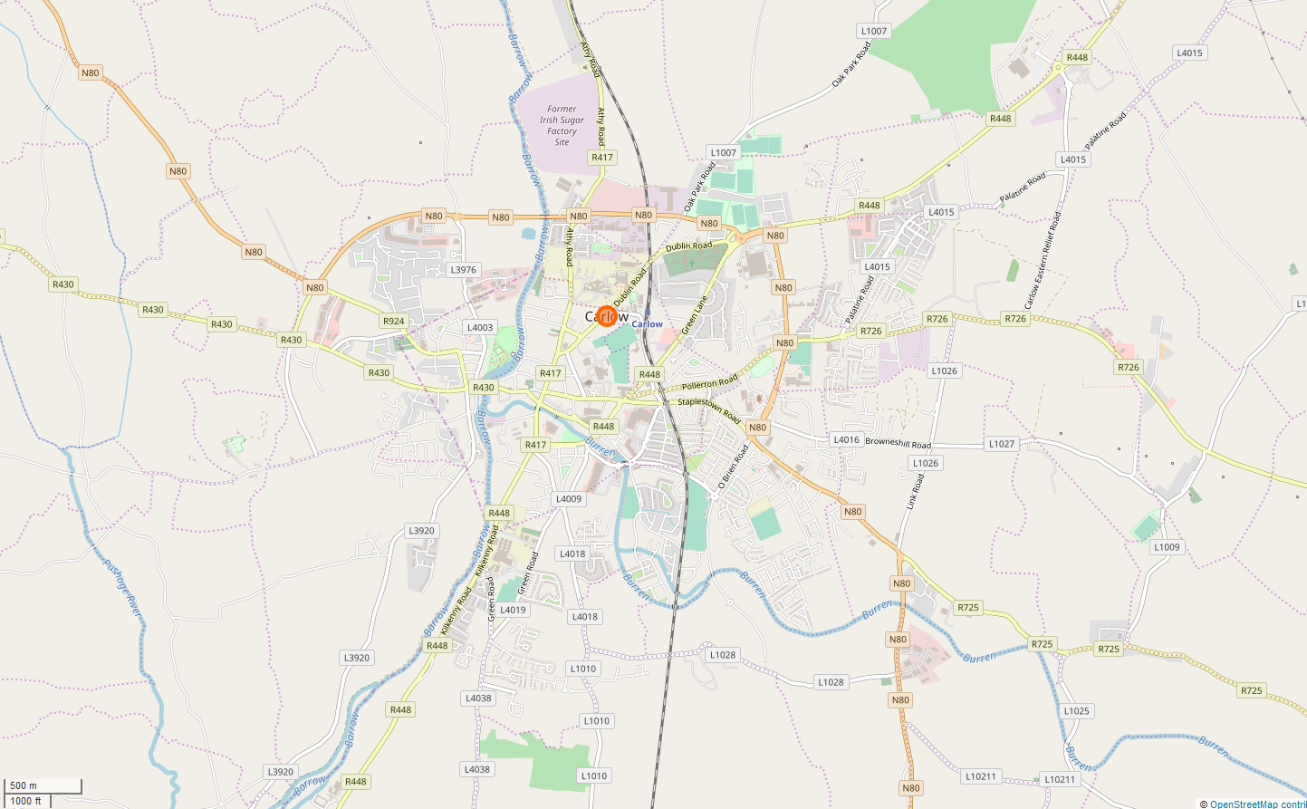
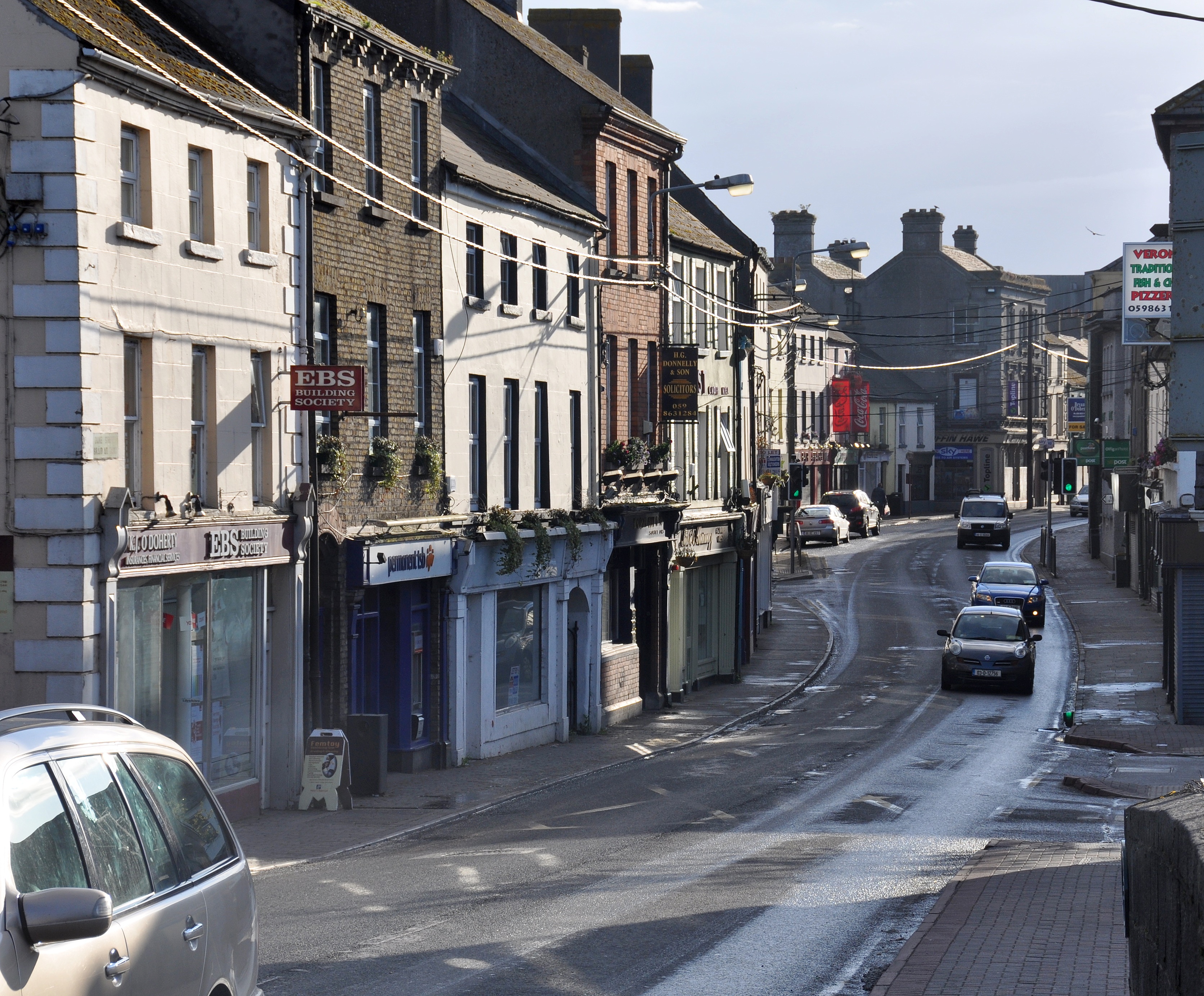
Carlow ( ; ) is the county town of County Carlow, in the south-east of Republic of Ireland, Ireland, from Dublin. At the 2022 census of Ireland, 2022 census, it had a population of 27,351, the List of urban areas in the Republic of Ireland, twelfth-largest urban center in Ireland. The River Barrow flows through the town and forms the historic boundary between counties County Laois, Laois and Carlow. However, the Local Government (Ireland) Act 1898 included the town entirely in County Carlow. The settlement of Carlow is thousands of years old and pre-dates written Irish history. The town has played a major role in Irish history, serving as the capital of the country in the 14th century. The town is in a townland and Civil parishes in Ireland, civil parish of the same name. Etymology The name is an anglicisation of the Irish language, Irish ''Ceatharlach''. Historically, it was anglicised as ''Caherlagh'', ''Caterlagh'' and ''Catherlagh'', which are closer to the Irish spell ... [...More Info...] [...Related Items...] OR: [Wikipedia] [Google] [Baidu] |
Athy
Athy ( ; ) is a market town at the meeting of the River Barrow and the Grand Canal in south-west County Kildare, Ireland, 72 kilometres southwest of Dublin. A population of 11,035 (as of the 2022 census) made it the sixth largest town in Kildare and the 45th largest in the Republic of Ireland, a growth of 82% since the 2002 census. Name Athy or is named after a 2nd-century Celtic chieftain, Ae, who is said to have been killed on the river crossing, thus giving the town its name "the town of Ae's ford". The ''Letters of the Ordnance Survey'' (1837) note that "The town is now called by the few old people who speak Irish there and in the Queen's County /nowiki>Laois">Laois.html" ;"title="/nowiki>Laois">/nowiki>Laois/nowiki>, , pronounced Blahéé", where ''éé'' stands for English 'ee' [i:] as clarified by a note written in pencil in Irish as ''Blá thí''. History According to Elizabethan historian William Camden, Ptolemy's map of Ireland circa 150 AD names the Rheban d ... [...More Info...] [...Related Items...] OR: [Wikipedia] [Google] [Baidu] |
Monasterevin
Monasterevin (), sometimes Monasterevan, is a town in County Kildare, Ireland. It lies on the River Barrow and the Barrowline, a canal branch of the Grand Canal. In the 20 years between the 2002 and 2022 censuses, the population more than doubled, from 2,583 to 5,307 inhabitants. The town is in a townland and civil parish of the same name. Location and access Situated 63 km from Dublin on the R445 road, Monasterevin has been relieved of much through-traffic by the opening in 2004 of a section of the M7 motorway bypassing the town on the N7 Dublin-to-Limerick route. Monasterevin railway station is on InterCity rail lines for trains from Dublin to the southwest (Cork, Limerick and Tralee) and west (Galway and Mayo). The town is also on Ireland's canal network, linking the Grand Canal and the River Barrow. History Monasterevin is situated on the border of County Kildare and County Laois. The towns and districts of Rathangan, Kildare, Portarlington and Athy surrou ... [...More Info...] [...Related Items...] OR: [Wikipedia] [Google] [Baidu] |
Portarlington, County Laois
Portarlington, historically called Cooletoodera (from ), is a town on the border of County Laois and County Offaly, Ireland. The River Barrow forms the border. Portarlington is around west of Dublin. The town was recorded in the 2022 census as having a population of 9,288. History Portarlington was founded in 1666, by Sir Henry Bennet, who had been Southern Secretary to Charles II and to whom that King, on his restoration, had made a grant of the extensive estates of Ó Díomasaigh, Viscount Clanmalier, confiscated after the Irish Rebellion of 1641. After some difficulties, the grant passed to Sir Henry Bennet of all the Ó Díomasaigh lands in the King's and Queen's Counties, and on 14 April 1664, he was created Baron Arlington of Harlington in the County of Middlesex. So great was the anxiety of these new settlers to efface all ancient recollections in Ireland, that the Parliament of Orrery and Ormond enacted that the governor and council should be able to give ... [...More Info...] [...Related Items...] OR: [Wikipedia] [Google] [Baidu] |
River Shannon
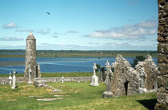
The River Shannon ( or archaic ') is the major river on the island of Ireland, and at in length, is the longest river in the British Isles. It drains the Shannon River Basin, which has an area of , – approximately one fifth of the area of Ireland. Known as an important waterway since antiquity, the Shannon first appeared in maps by the Graeco-Egyptian geographer Ptolemy ( 100 – 170 AD). The river flows generally southwards from the Shannon Pot in County Cavan before turning west and emptying into the Atlantic Ocean through the long Shannon Estuary. Limerick city stands at the point where the river water meets the sea water of the estuary. The Shannon is tidal east of Limerick as far as the base of the Ardnacrusha dam. The Shannon divides the west of Ireland (principally the province of Connacht) from the east and south (Leinster and most of Munster; County Clare, being west of the Shannon but part of the province of Munster, is the major exception.) The river rep ... [...More Info...] [...Related Items...] OR: [Wikipedia] [Google] [Baidu] |
River
A river is a natural stream of fresh water that flows on land or inside Subterranean river, caves towards another body of water at a lower elevation, such as an ocean, lake, or another river. A river may run dry before reaching the end of its course if it runs out of water, or only flow during certain seasons. Rivers are regulated by the water cycle, the processes by which water moves around the Earth. Water first enters rivers through precipitation, whether from rainfall, the Runoff (hydrology), runoff of water down a slope, the melting of glaciers or snow, or seepage from aquifers beneath the surface of the Earth. Rivers flow in channeled watercourses and merge in confluences to form drainage basins, or catchments, areas where surface water eventually flows to a common outlet. Rivers have a great effect on the landscape around them. They may regularly overflow their Bank (geography), banks and flood the surrounding area, spreading nutrients to the surrounding area. Sedime ... [...More Info...] [...Related Items...] OR: [Wikipedia] [Google] [Baidu] |
River Suir
The River Suir ( ; or ''Abhainn na Siúire'' ) is a river in Ireland that flows into the Atlantic Ocean through Waterford after a distance of . The catchment area of the Suir is 3,610 km2.South Eastern River Basin District Management System. Page 38 Its long-term average flow rate is 76.9 cubic metres per second (m3/s), about twice the flow of either the River Barrow (37.4 m3/s) or the River Nore (42.9 m3/s) before these join, but a little less than the Barrow's flow when it meets the Suir 20 km downstream (over 80 m3/s). Popular with anglers, it abounds in brown trout and salmon. Although the Suir holds the record for a salmon taken from an Irish river (weighing 57 lb/ ... [...More Info...] [...Related Items...] OR: [Wikipedia] [Google] [Baidu] |
River Nore
The River Nore ( ) is one of the principal rivers (along with the River Suir and River Barrow) in the South-East Region, Ireland, South-East Region of Ireland. The river drainage basin, drains approximately of Leinster and Munster, that encompasses parts of three counties (Tipperary, Laois, Kilkenny). Along with the River Suir and River Barrow, it is one of the constituent rivers of the group known as the The Three Sisters (Ireland), Three Sisters. Starting in the Devil's Bit Mountain, County Tipperary, the river flows generally southeast, and then south, before its confluence with the River Barrow at Ringwood, and the Barrow Bridge, Barrow railway bridge at Drumdowney, County Kilkenny, which empties into the Celtic Sea at Waterford Harbour, Waterford. The long term average flow rate of the River Nore is 42.9 cubic metres per second (m3/s) The river is home to the only known extant population of the critically endangered species, critically endangered Nore freshwater pearl mu ... [...More Info...] [...Related Items...] OR: [Wikipedia] [Google] [Baidu] |


