|
Risan
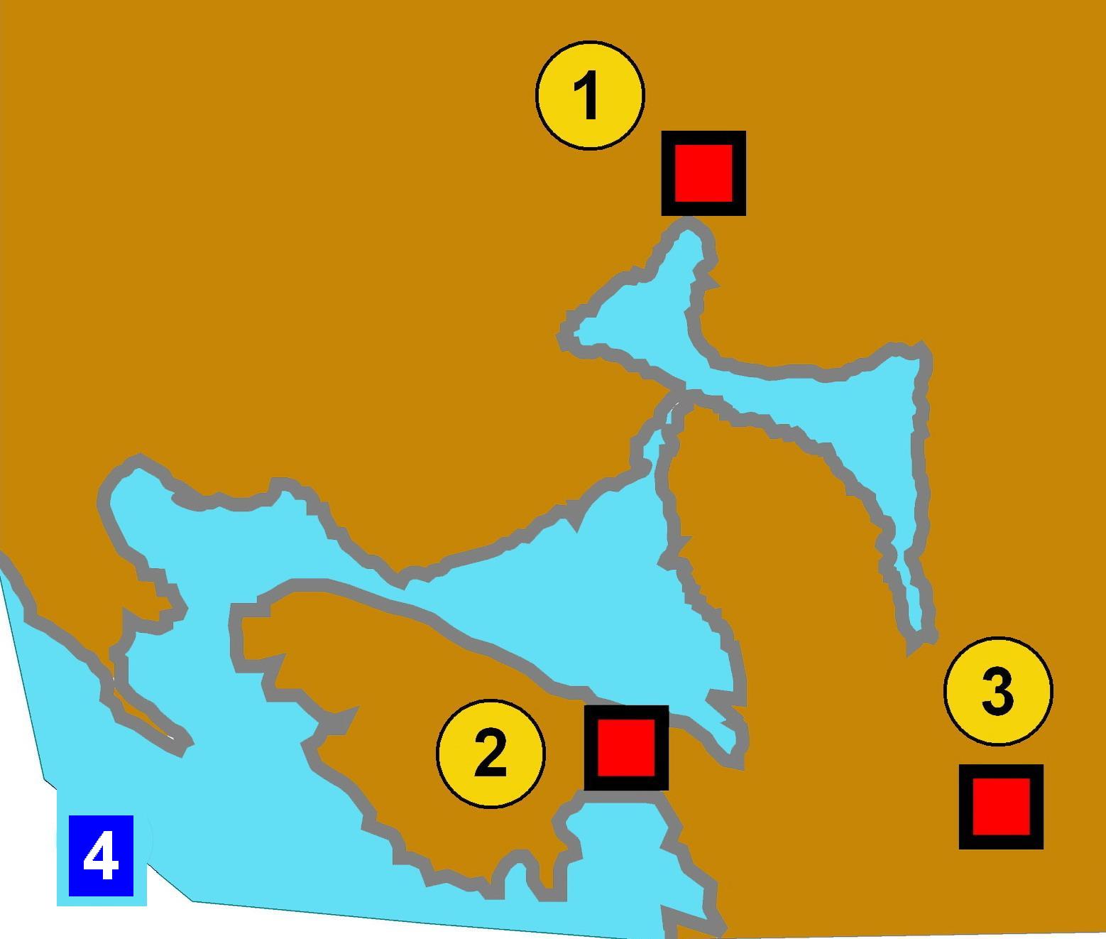
Risan ( Montenegrin: Рисан, ) is a town in the Bay of Kotor, Montenegro. It traces its origins to the ancient settlement of Rhizon, the oldest settlement in the Bay of Kotor. Lying in the innermost portion of the bay, the settlement was protected from the interior by inaccessible limestone cliffs of the Orjen mountain which are the highest range of eastern Adriatic, and through several following narrow straits in the Bay of Kotor from the open sea. While the Krivošije karst plateau that hangs steep above the narrow shores of Risan bay receives over 5000 mm rain annually (European record), several strong karst springs that form a short brook collect in the narrow cultivable belt at Risan. Etymology The town was called ''Risinium'' in Latin. It is possibly related to Albanian "''rrjedh''", meaning "flow, stream" History The earliest mention of Rhizon dates back to the 4th century BC, as the main fortress in the Illyrian state where Queen Teuta took refuge during ... [...More Info...] [...Related Items...] OR: [Wikipedia] [Google] [Baidu] |
Orjen
Orjen (Serbian Cyrillic: Орјен, ) is a transboundary Dinaric Mediterranean limestone mountain range, located between southernmost Bosnia and Herzegovina and southwestern Montenegro. Its highest peak is Veliki kabao, which stands at . The Orjen Peak is the highest peak in the ''Sub-Adriatic'' Dinarides. The massif of Orjen lies east to south-east of Trebinje in Bosnia and Herzegovina and north-west of Risan in Bay of Kotor (Boka Kotorska). From the town of Risan, situated at the innermost protected part of the bay, a well-engineered road, at first metalled, with many hairpin bends climbs to about 1600 m, over to the interior. At the main summit of Orjen and the surrounding ridges and high plateaus the action of quaternary glaciation is evident. During the Ice Age, long valley glaciers receded from Orjen to the Bay of Kotor and surrounding poljes. Hollowing U-shaped valleys and cirques in their course. Glaciers also shaped jagged peaks and ridges. Glacial and karst t ... [...More Info...] [...Related Items...] OR: [Wikipedia] [Google] [Baidu] |
Bay Of Kotor
The Bay of Kotor ( sh-Latn-Cyrl, Boka kotorska, Бока которска, separator=" / ", ), also known as the Boka ( sh-Cyrl, Бока), is a winding bay of the Adriatic Sea in southwestern Montenegro and the region of Montenegro concentrated around the bay. It is also the southernmost part of the historical region of Dalmatia. At the entrance to the Bay there is Prevlaka, a small peninsula in southern Croatia. The bay has been inhabited since antiquity. Its well-preserved medieval towns of Kotor, Risan, Tivat, Perast, Prčanj and Herceg Novi, along with their natural surroundings, are major tourist attractions. The Natural and Culturo-Historical Region of Kotor was designated a UNESCO World Heritage Site in 1979. Its numerous Eastern Orthodox, Orthodox and Catholic Church in Montenegro, Catholic churches and monasteries attract numerous religious pilgrims and other visitors. Geography The bay is about long with a shoreline extending . It is surrounded by two massifs of the ... [...More Info...] [...Related Items...] OR: [Wikipedia] [Google] [Baidu] |
Roman Catholic Diocese Of Risano
The Diocese of Risano (Latin Risinium) was a Latin Church ecclesiastical jurisdiction or diocese of the Catholic Church from the 6th to the 17th century and is now a titular see. History It was established as Diocese of Risano with its episcopal see at Risan, site of the ancient town of Rhizon. It was a suffragan of the Archdiocese of Diocleia in the late Roman province of Dalmatia Superior. It was suppressed , its territory being merged into the Diocese of Kotor, also in modern Montenegro. Episcopal ordinaries ;Bishops of Risano (incomplete in the 6th and possibly until the 13th century) * Sebastiano(591? – 595?) :vacancy? * Michele, Augustinians (O.E.S.A.)(1271? – ?) * Davide da Ginevra, O.E.S.A.(1327? – 1349?) * Nicola, Conventual Friars Minor (O.F.M. Conv.) (? – death 1350?) * Doimo, O.F.M.(1351.03.28 – 1352.10.25), next Bishop of Kotor (Cattaro) (Montenegro) (1352.10.25 – 1368?) * Cesario(? – 1355) * Dionigi(? – 1400), next Bishop of Kotor (Cattaro) ( ... [...More Info...] [...Related Items...] OR: [Wikipedia] [Google] [Baidu] |
Rhizinium
Rhizon was the capital of the Illyrian kingdom under the Ardiaei. During the Roman rule it was known as Rhizinium. Rhizon is the oldest settlement in the Bay of Kotor and the modern town of Risan (modern Montenegro) stands near the old city. Originally it was an Illyrian settlement that developed gradually and became the capital of the Illyrian Ardiaean Kingdom under Agron and Teuta. It was the last stronghold of queen Teuta in the first Illyrian war against the Romans. It maintained its status as a significant regional settlement well into the Roman era. Name Originally in Illyrian proper territory, the city is attested in Ancient Greek as and in Latin as . The toponym has been compared with , meaning 'flow', 'stream', deriving from Proto-Indo-European 'flow', whence in turn meaning 'river', 'stream', etc. History Herodian (2nd century A.D.) mentions that ''Rhizon'' takes its name from ''Rizon'', son of Cadmus and brother of Illyrius. The earliest mention of ''Rhizon'' da ... [...More Info...] [...Related Items...] OR: [Wikipedia] [Google] [Baidu] |
Rhizon
Rhizon was the capital of the Illyrian kingdom under the Ardiaei. During the Ancient Rome, Roman rule it was known as Rhizinium. Rhizon is the oldest settlement in the Bay of Kotor and the modern town of Risan (modern Montenegro) stands near the old city. Originally it was an Illyrians, Illyrian settlement that developed gradually and became the Capital city, capital of the Illyrian Ardiaei, Ardiaean Kingdom under Agron of Illyria, Agron and Teuta. It was the last stronghold of queen Teuta in the Illyrian Wars, first Illyrian war against the Romans. It maintained its status as a significant regional settlement well into the Roman era. Name Originally in Illyrian language, Illyrian proper territory, the city is attested in Ancient Greek as and in Latin as . The toponym has been compared with , meaning 'flow', 'stream', deriving from Proto-Indo-European language, Proto-Indo-European 'flow', whence in turn meaning 'river', 'stream', etc. History Herodian (2nd century A.D.) mentio ... [...More Info...] [...Related Items...] OR: [Wikipedia] [Google] [Baidu] |
Kotor Municipality
Kotor Municipality ( Montenegrin: Opština Kotor / Општина Котор) is one of the municipalities of Montenegro. Its administrative center is Kotor. This municipality is located in the southwestern part of Montenegro, and includes 56 recognized settlements, as well as the innermost portion of the Bay of Kotor. Location and tourism The Kotor municipality is located on the Bay of Kotor region on the Adriatic coast, surrounding the town of Kotor in southwestern Montenegro. Kotor is connected to the Adriatic Highway and the rest of the coast and inland Montenegro by the Vrmac Tunnel. The inland is reachable by detouring from the Adriatic highway in Budva or Sutomore (through the Sozina tunnel). There is also a historic road connecting Kotor to Cetinje, which has views of the Kotor Bay. Since the early 2000s Kotor has seen an increase in tourists, many of them coming by cruise ship. Visitors are attracted by the natural environment of the Gulf of Kotor and by the old town ... [...More Info...] [...Related Items...] OR: [Wikipedia] [Google] [Baidu] |
Coastal Montenegro
Coastal Montenegro ( cnr-Latn-Cyrl, Primorje Crne Gore, Приморје Црне Горе, separator=" / "), is one of three statistical regions in Montenegro. It encompasses the coastal part of Montenegro. It is bordered by Central region to the north, Albania to the east, Adriatic Sea to the south, Croatia to the west, and Bosnia and Herzegovina to the northwest. It comprises six Municipalities of Montenegro, municipalities. Municipalities Coastal Montenegro comprises six municipalities. Municipalities in Coastal Montenegro include: Bar Municipality, Bar, Budva Municipality, Budva, Herceg Novi Municipality, Herceg Novi, Kotor Municipality, Kotor, Tivat Municipality, Tivat and Ulcinj Municipality, Ulcinj. Geography The coast of Montenegro is long. Unlike its northern neighbour Croatia, Montenegro has no large inhabited islands along the coast. A notable feature of the Montenegrin coast is Bay of Kotor, a fjord-like gulf, which is in fact a submerged river canyon. The Bay o ... [...More Info...] [...Related Items...] OR: [Wikipedia] [Google] [Baidu] |
Natural And Culturo-Historical Region Of Kotor
The ''Natural and Culturo-Historical Region of Kotor'' is a World Heritage Site located in Montenegro that was inscribed in 1979. It encompasses the old town of Kotor (Italian Cattaro), the fortifications of Kotor, and the surrounding region of the inner Bay of Kotor. Description Old town of Kotor The old town of Kotor is contained within the city walls and a well preserved and restored medieval cityscape with notable buildings including the Cathedral of Saint Tryphon (built in 1166). Kotor was heavily damaged during the earthquake on April 15, 1979, and this prompted the site to be also listed on the Danger List in 1979 when the site was inscribed. After significant rehabilitation within the town, the site was taken off this list in 2003. Fortifications of Kotor The fortifications consist of a system of defensive military buildings to protect the medieval town of Kotor. They include the city walls with gates and bastions, ramparts that ascend the mountain of St. John, ... [...More Info...] [...Related Items...] OR: [Wikipedia] [Google] [Baidu] |
Queen Teuta
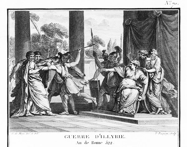
Teuta ( Illyrian: ''*Teutana'', 'mistress of the people, queen'; ; ) was the queen regent of the Ardiaei tribe in Illyria, who reigned approximately from 231 BC to 228/227 BC. Following the death of her spouse Agron in 231 BC, she assumed the regency of the Ardiaean Kingdom for her stepson Pinnes, continuing Agron's policy of expansion in the Adriatic Sea, in the context of an ongoing conflict with the Roman Republic regarding the effects of Illyrian piracy on regional trade. The death of one of the Roman ambassadors at the hands of Illyrian pirates gave Rome the occasion to declare war against her in 229 BC. She surrendered after losing the First Illyrian War in 228. Teuta had to relinquish the southern parts of her territory and pay a tribute to Rome, but was eventually allowed to keep a realm confined to an area north of Lissus, modern day Lezhë, Albania. Biographical details on the life of Teuta are biased by the fact that the surviving ancient sources, which ... [...More Info...] [...Related Items...] OR: [Wikipedia] [Google] [Baidu] |
Krivošije
Krivošije ( cyrl, Кривошије, ) is a microregion in southwestern Montenegro, located on a high plateau belonging to the Orjen mountain range, north of the Bay of Kotor. Krivošije was historically located at a tripoint between the Principality of Montenegro, Austro-Hungarian (formerly Venetian) Bay of Kotor and Ottoman Sanjak of Herzegovina. Geography Krivošije are a mountainous karst region above Risan, located at around 1000 metres above the sea level, spanning on 114 km2 of land. It is a high plateau on the northern and eastern branches of Mount Orjen (1894 m) in southwest Montenegro, near in the hinterland of the Bay of Kotor. A significant geological and geomorphological feature of the region are the glacial deposits distributed across the whole of the plateau. They were deposited by valley glaciers coming from Orjen during the Ice Age. Krivošije is the region with the greatest rainfall in Europe. Reovačka greda is a mountain ridge located near C ... [...More Info...] [...Related Items...] OR: [Wikipedia] [Google] [Baidu] |
Travunia
Travunia ( sh-Latn-Cyrl, separator=" / ", Travunija, Травунија; ; ; ) was a South Slavic medieval principality that was part of Medieval Serbia (850–1371), and later the Medieval Bosnia (1373–1482). The principality became hereditary in a number of noble houses, often kin to the ruling dynasty. The region came under Ottoman rule in 1482. Its seat was in the city of Trebinje. In the 9th and 10th centuries, the '' Župa'' of Travunia was held by the Belojević noble family, who were entitled the rule during the reign of Prince Vlastimir (r. 830–850), of the Vlastimirović dynasty. After the death of Časlav, the last dynastic member, the principality disintegrated, and the provinces were annexed by the Bulgars and Byzantines. In 1034, Stefan Vojislav (the founder of the Vojislavljević dynasty) incited a rebellion and renounced Byzantine rule, becoming the ''Prince of Serbs'', ruling from the seat at Duklja. In the early 12th century, Desa of the Vukanović d ... [...More Info...] [...Related Items...] OR: [Wikipedia] [Google] [Baidu] |
Illyrian Wars
The Illyrian Wars were a series of wars fought between the Roman Republic and the Illyrian kingdom under the Ardiaei and Labeatae. In the ''First Illyrian War'', which lasted from 229 BC to 228 BC, Rome's concern was that the trade across the Adriatic Sea increased after the First Punic War at a time when Ardiaei power increased under queen Teuta. Attacks on trading vessels of Rome's Italic allies by Illyrian pirates and the death of a Roman envoy named Coruncanius on Teuta's orders,Zock, 99. prompted the Roman senate to dispatch a Roman army under the command of the consuls Lucius Postumius Albinus and Gnaeus Fulvius Centumalus. Rome expelled Illyrian garrisons from a number of Greek cities including Epidamnus, Apollonia, Corcyra, Pharos and established a protectorate over these Greek towns. The Romans also set up Demetrius of Pharos as a power in Illyria to counterbalance the power of Teuta.Eckstein, 46–59. The ''Second Illyrian War'' lasted from 220 BC to 219 BC. In 219 ... [...More Info...] [...Related Items...] OR: [Wikipedia] [Google] [Baidu] |


