|
Riosucio, Chocó
Riosucio () is a municipality and town in the Department of Chocó, Colombia. The municipality and town are located in the Atrato River basin, on the Chocoan side of Urabá, a region spanning the departments Chocó and Antioquia. Riosucio municipality is landlocked, being separated from the Pacific Ocean by the Chocoan municipalities Juradó and Bahía Solano and from the Gulf of Urabá, a large inlet of the Caribbean Sea, by the Antioquian municipality Turbo and the Chocoan municipality Unguía. Riosucio town is mostly inaccessible by roads and has no airport; the river is the main route for access to and transportation within the town. History Before the Spanish arrival in the region now known as Chocó, the region was populated by indigenous Emberá and Katío communities. Spanish exploration began in 1501, with Rodrigo de Bastidas, Vasco Núñez de Balboa, and Juan de la Cosa making the first efforts. There are no exact data on the foundation of Riosucio, but ... [...More Info...] [...Related Items...] OR: [Wikipedia] [Google] [Baidu] |
Municipalities Of Colombia
The Municipalities of Colombia are decentralized subdivisions of the Republic of Colombia. Municipalities make up most of the departments of Colombia with 1,122 municipalities ('' municipios''). Each one of them is led by a mayor (''alcalde'') elected by popular vote and represents the maximum executive government official at a municipality level under the mandate of the governor of their department which is a representative of all municipalities in the department; municipalities are grouped to form departments. The municipalities of Colombia are also grouped in an association called the ''Federación Colombiana de Municipios'' (Colombian Federation of Municipalities), which functions as a union under the private law and under the constitutional right to free association to defend their common interests. Categories Conforming to the law 1551/12 that modified the sixth article of the law 136/94 Article 7 http://www.alcaldiabogota.gov.co/sisjur/normas/Norma1.jsp?i=48267 the mu ... [...More Info...] [...Related Items...] OR: [Wikipedia] [Google] [Baidu] |
Afro-Colombian
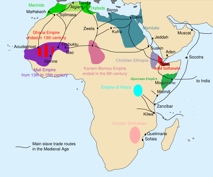
Afro-Colombians or African-Colombians ( es, afrocolombianos, links=no) are Colombians of full or partial sub-Saharan African descent ( Blacks, Mulattoes, Pardos, and Zambos). History Africans were enslaved in the early 16th Century in Colombia. They were from various places across the continent, including: modern day Congo, Angola, Gambia, Liberia, Ghana, Ivory Coast, Guinea-Bissau, Sierra Leone, Senegal, and Mali. They were forcibly taken to Colombia to replace the Indigenous population, which was rapidly decreasing due to colonialism and genocide. Enslved African people were forced to work in gold mines, on sugar cane plantations, cattle ranches, and large haciendas. African slaves pioneered the extraction of alluvial gold deposits and the growing of sugar cane in the areas that are known in modern times as the departments of Chocó, Antioquia, Cauca, Valle del Cauca, and Nariño in western Colombia. The UNODOC reported 66% of the alluvial gold is illegally mi ... [...More Info...] [...Related Items...] OR: [Wikipedia] [Google] [Baidu] |
World Heritage Site
A World Heritage Site is a landmark or area with legal protection by an international convention administered by the United Nations Educational, Scientific and Cultural Organization (UNESCO). World Heritage Sites are designated by UNESCO for having cultural, historical, scientific or other form of significance. The sites are judged to contain "cultural and natural heritage around the world considered to be of outstanding value to humanity". To be selected, a World Heritage Site must be a somehow unique landmark which is geographically and historically identifiable and has special cultural or physical significance. For example, World Heritage Sites might be ancient ruins or historical structures, buildings, cities, deserts, forests, islands, lakes, monuments, mountains, or wilderness areas. A World Heritage Site may signify a remarkable accomplishment of humanity, and serve as evidence of our intellectual history on the planet, or it might be a place of great natural beauty. A ... [...More Info...] [...Related Items...] OR: [Wikipedia] [Google] [Baidu] |
Los Katíos National Park
Los Katíos National Natural Park ( es, Parque Nacional Natural (PNN) Los Katíos) is a protected area located in northwest Colombia which covers about . The elevation ranges between . It is a part of the Darién Gap, a densely forested area shared by Panama and Colombia, and is contiguous with the Darién National Park in Panama. The Pan-American Highway, when completed as proposed, would pass near or through Los Katíos. The park was declared a UNESCO World Heritage Site in 1994 due to the extraordinary diversity of plant and animal species represented. The topography of the Los Katios National Park is diverse, with low hills, forests and wet plains comprising its total area. The two largest parts of the park are the Serranía del Darién mountains, which lie to the west, and the Atrato River floodplains in the east. The floodplains hold exceptionally fertile soil and consist of alluvial plains of two types. One consists of low-lying terraces that flood often and the ... [...More Info...] [...Related Items...] OR: [Wikipedia] [Google] [Baidu] |
African Palm
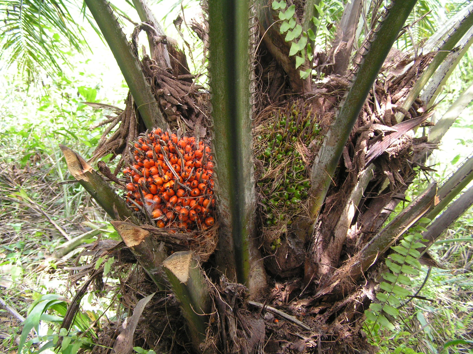
''Elaeis guineensis'' is a species of palm commonly just called oil palm but also sometimes African oil palm or macaw-fat. It is the principal source of palm oil. It is native to west and southwest Africa, specifically the area between Angola and the Gambia; the species name, ''guineensis'', refers to the name for the area, Guinea, and not the modern country now bearing that name. The species is also now naturalised in Madagascar, Sri Lanka, Malaysia, Indonesia, Central America, Cambodia, the West Indies, and several islands in the Indian and Pacific Oceans. The closely related American oil palm ''Elaeis oleifera'' and a more distantly related palm, ''Attalea maripa'', are also used to produce palm oil. ''E. guineensis'' was domesticated in West Africa along the south-facing Atlantic coast. There is insufficient documentation and insufficient research to make any guesses as to when this occurred. Human use of oil palms may date as far back as 5,000 years in Egypt; in the late ... [...More Info...] [...Related Items...] OR: [Wikipedia] [Google] [Baidu] |
Tropical Monsoon Climate
An area of tropical monsoon climate (occasionally known as a sub-equatorial, tropical wet climate or a tropical monsoon and trade-wind littoral climate) is a tropical climate sub-type that corresponds to the Köppen climate classification category ''Am''. Tropical monsoon climates have monthly mean temperatures above in every month of the year and a dry season. The tropical monsoon climate is the intermediate climate between the wet Af (or tropical rainforest climate) and the drier Aw (or tropical savanna climate). A tropical monsoon climate's driest month has on average less than 60 mm, but more than 100-\left(\frac\right). This is in direct contrast to a tropical savanna climate, whose driest month has less than 60 mm of precipitation and also less than 100-\left(\frac\right) of average monthly precipitation. In essence, a tropical monsoon climate tends to either have more rainfall than a tropical savanna climate or have less pronounced dry seasons. A tropical monsoon ... [...More Info...] [...Related Items...] OR: [Wikipedia] [Google] [Baidu] |
Quibdó
Quibdó () is the capital city of Chocó Department, in Western Colombia, and is located on the Atrato River. The municipality of Quibdó has an area of 3,337.5 km² and a population of 129,237, predominantly Afro Colombian, including Zambo Colombians. History In prehistoric times the Chocó rainforest and mountains constituted a major barrier dividing the Mesoamerican and Andean civilisations. The high rainfall and the extremely humid climate did not attract the Spanish colonists. The Emberá Indians ceded much of their territory to the Spanish Franciscan order in 1648. Subsequent attacks on colonial outposts by hostile tribes discouraged attempts at settlement. Six years later, the Spanish began again to colonize the region, eventually establishing some lumber camps and plantations where they used enslaved Africans as workers. It was not until the nineteenth century when there was interest in finding a shipping route between the Atlantic and Pacific Oceans to avoid t ... [...More Info...] [...Related Items...] OR: [Wikipedia] [Google] [Baidu] |
Belén De Bajirá
Belén de Bajirá is a Colombian Corregimiento involved in law suit caused by a territorial dispute between two northwestern Colombian departments, Antioquia and Chocó. Chocó argues that the territory belongs to its municipality Riosucio, but Antioquia claimed Belén de Bajirá as part of one of Mutatá. In 2000 the authorities of Chocó founded and approved the municipality in the limits with Antioquia, north-east of Chocó and south of the Antioquean Urabá. However, the Antioquean authorities in Medellín stated that the new municipality was on Antioquean territory and demanded the case before the Council of State of Colombia in Bogotá. By its part, Chocó defended its decision stating that the municipality was legally on the chocoan side. The Geographic Institute Agustin Codazzi (IGAC, Spanish acronym), which is the entity responsible of the basic cartography and laying out the country maps, issued a final concept requested by the government stating that the limits betw ... [...More Info...] [...Related Items...] OR: [Wikipedia] [Google] [Baidu] |
Antioquia Department
) , anthem = Himno de Antioquia , image_map = Antioquia in Colombia (mainland).svg , map_alt = , map_caption = Antioquia shown in red , image_map1 = Antioquia Topographic 2.png , map_caption1 = Topography of the department , coordinates = , subdivision_type = Country , subdivision_name = , subdivision_type1 = Region , subdivision_name1 = Andean Region , established_title = Established , established_date = 1826 , founder = , named_for = , seat_type = Capital , seat = Medellín , parts_type = Largest city , parts_style = para , p1 = , government_footnote ... [...More Info...] [...Related Items...] OR: [Wikipedia] [Google] [Baidu] |
Chigorodó
Chigorodó () is a town and municipality in Antioquia Department, Colombia. Residents * Jaime Castañeda, cyclist Climate Chigorodó has a tropical rainforest climate A tropical rainforest climate, humid tropical climate or equatorial climate is a tropical climate sub-type usually found within 10 to 15 degrees latitude of the equator. There are some other areas at higher latitudes, such as the coast of southea ... (Af) with heavy to very heavy rainfall year-round. References Municipalities of Antioquia Department {{Antioquia-geo-stub ... [...More Info...] [...Related Items...] OR: [Wikipedia] [Google] [Baidu] |
Carmen Del Darien
''Carmen'' () is an opera in four acts by the French composer Georges Bizet. The libretto was written by Henri Meilhac and Ludovic Halévy, based on the Carmen (novella), novella of the same title by Prosper Mérimée. The opera was first performed by the Opéra-Comique in Paris on 3 March 1875, where its breaking of conventions shocked and scandalised its first audiences. Bizet died suddenly after the 33rd performance, unaware that the work would achieve international acclaim within the following ten years. ''Carmen'' has since become one of the most popular and frequently performed operas in the classical Western canon, canon; the "Habanera (aria), Habanera" from act 1 and the "Toreador Song" from act 2 are among the best known of all operatic arias. The opera is written in the genre of ''opéra comique'' with musical numbers separated by dialogue. It is set in southern Spain and tells the story of the downfall of Don José, a naïve soldier who is seduced by the wiles of th ... [...More Info...] [...Related Items...] OR: [Wikipedia] [Google] [Baidu] |
Dabeiba
Dabeiba () is a town and municipality in the Colombian department of Antioquia. The Battle of Dabeiba took place there in October 2000. Climate Dabeiba has a tropical rainforest climate A tropical rainforest climate, humid tropical climate or equatorial climate is a tropical climate sub-type usually found within 10 to 15 degrees latitude of the equator. There are some other areas at higher latitudes, such as the coast of southea ... (Af) with heavy rainfall year-round. References Municipalities of Antioquia Department {{Antioquia-geo-stub ... [...More Info...] [...Related Items...] OR: [Wikipedia] [Google] [Baidu] |

.jpg)


