|
Ravnogor
Ravnogor () is a village located in Bratsigovo Municipality, Pazardzhik Province, Southern Bulgaria. Geography Ravnogor is located in a mountainous area. The elevation is 1319 m. There is a peak named St. Nedelya with an elevation of 1578 m. The Ravnogor plateau has many potato farms scattered across it. The climate is continental mountainous, characterized with late and cold spring, cool summers and long and snowy winters. History The tribe Bessi lived in the territory of Ravnogor, who have left behind over 30 Thracian sanctuaries and tombs, the famous one being the Ravnogor Tomb, which was first discovered in 1986 by a group of villagers during a potato sowing. It is the biggest domed tomb in Bulgaria. The village itself was established and officially registered as a settlement in 1777. Unlike the nearby villages Fotinovo and Nova Mahala, unique traditions have been followed. They all remained Orthodox Christians, after unsuccessful attempts by the Ottoman rulers to conve ... [...More Info...] [...Related Items...] OR: [Wikipedia] [Google] [Baidu] |
Bratsigovo Municipality
Bratsigovo Municipality ( bg, Община Брацигово) is a municipality in the Pazardzhik Province of Bulgaria. Demography At the 2011 census, the population of Bratsigovo was 9,648. Most of the inhabitants (79.31%) were Bulgarians, and there were significant minorities of Gypsies/Romani (4.09%) and Turks (6.73%). 9.55% of the population's ethnicity was unknown. Communities Towns * Bratsigovo Villages * Byaga * Isperihovo * Kozarsko * Ravnogor * Rozovo * Zhrebichko Zhrebichko () is a village located in Bratsigovo Municipality, Pazardzhik Province, Southern Bulgaria. Zhrebichko is located in a mountainous area in the Rhodope Mountains The Rhodopes (; bg, Родопи, ; el, Ροδόπη, ''Rodopi''; t ... References {{Authority control Municipalities in Pazardzhik Province ... [...More Info...] [...Related Items...] OR: [Wikipedia] [Google] [Baidu] |
GERB
GERB ( bg, ГЕРБ, translation=coat of arms, acronym for Citizens for European Development of Bulgaria) is a conservative, populist political party which was the ruling party of Bulgaria between 2009 and 2021. History GERB is headed by former Prime Minister of Bulgaria Boyko Borisov, the former mayor of Sofia, former member of the National Movement Simeon II and former personal guard of Todor Zhivkov in the 1990s. The establishment of the party followed the creation of a non-profit organization with the acronym (in Bulgarian) GERB — ''Citizens for European Development of Bulgaria'', earlier the same year. In early January 2007, and early February 2007, the party came second in public polls on party support with around 14%, trailing the Bulgarian Socialist Party which had around 25%. Its stated priorities are fighting crime and corruption, preserving family as the cornerstone of society and achieving energy independence. GERB won the 2009 European Parliamen ... [...More Info...] [...Related Items...] OR: [Wikipedia] [Google] [Baidu] |
Eastern European Time
Eastern European Time (EET) is one of the names of UTC+02:00 time zone, 2 hours ahead of Coordinated Universal Time. The zone uses daylight saving time, so that it uses UTC+03:00 during the summer. A number of African countries use UTC+02:00 all year long, where it is called Central Africa Time (CAT), although Egypt and Libya also use the term ''Eastern European Time''. The most populous city in the Eastern European Time zone is Cairo, with the most populous EET city in Europe being Athens. Usage The following countries, parts of countries, and territories use Eastern European Time all year round: * Egypt, since 21 April 2015; used EEST ( UTC+02:00; UTC+03:00 with daylight saving time) from 1988–2010 and 16 May–26 September 2014. See also Egypt Standard Time. * Kaliningrad Oblast ( Russia), since 26 October 2014; also used EET in years 1945 and 1991–2011. See also Kaliningrad Time. * Libya, since 27 October 2013; switched from Central European Time, ... [...More Info...] [...Related Items...] OR: [Wikipedia] [Google] [Baidu] |
Eastern European Summer Time
Eastern European Summer Time (EEST) is one of the names of the UTC+03:00 time zone, which is 3 hours ahead of Coordinated Universal Time. It is used as a summer daylight saving time in some European and Middle Eastern countries, which makes it the same as Arabia Standard Time, East Africa Time, and Moscow Time. During the winter periods, Eastern European Time ( UTC+02:00) is used. Since 1996, European Summer Time has been applied from the last Sunday in March to the last Sunday in October. Previously, the rules were not uniform across the European Union. Usage The following countries and territories use Eastern European Summer Time during the summer: * Belarus, Moscow Summer Time in years 1981–89, regular EEST from 1991-2011 * Bulgaria, regular EEST since 1979 * Cyprus, regular EEST since 1979 (Northern Cyprus stopped using EEST in September 2016, but returned to EEST in March 2018) * Estonia, Moscow Summer Time in years 1981–88, regular EEST since 1989 * Finland, re ... [...More Info...] [...Related Items...] OR: [Wikipedia] [Google] [Baidu] |
Pazardzhik Province
Pazardzhik Province ( bg, Област Пазарджик ''Oblast Pazardzhik'', former name Pazardzhik okrug) is a province in Southern Bulgaria, named after its administrative and industrial centre - the city of Pazardzhik. The territory is that is divided into 12 municipalities with a total population of 275,548 inhabitants, as of February 2011. History The territory of the Pazardzhik Province has been inhabited since very early times. There are more than 50 discovered Stone Age and Bronze Age settlements. The earliest civilization to inhabit the region were the Thracians. The remains of the Thracian town Besapara are located in the hills near the provincial capital Pazardzhik. The Panagyurishte Treasure unearthed near the northern town of the same name is known as one of the finest examples of Thracian art. The 6.164 kg of 23-karat gold treasure which consists of nine vessels has been dated back to the 4th and 3rd century BC. In the 1st century BC the region became ... [...More Info...] [...Related Items...] OR: [Wikipedia] [Google] [Baidu] |
Southern Bulgaria
Southern Bulgaria ( bg, Южна България, ''Yuzhna Balgariya'') is the southern half of the territory of Bulgaria, located to the south of the main ridge of the Balkan Mountains which conventionally separates the country into a northern and a southern part. Besides the Balkan Mountains, Southern Bulgaria borders Serbia to the west, North Macedonia to the southwest, Greece to the south, Turkey to the southeast and the Bulgarian Black Sea Coast to the east. Geographically, the terrain in Southern Bulgaria is much more varied than that of the north, with the Upper Thracian Plain stretching in the east, while the south and west are dominated by some of Bulgaria's highest mountains such as Rila, Pirin and the Rhodopes, as well as smaller and/or lower mountains and valleys in the west, such as Vitosha, Belasitsa, Osogovo, the Sofia Valley, the Sub-Balkan valleys and the Kraishte region. Southern Bulgaria covers an area of 62,414 square kilometres and has a population of 5,085,8 ... [...More Info...] [...Related Items...] OR: [Wikipedia] [Google] [Baidu] |
Bessi
The Bessi (; grc, Βῆσσοι, or , ) were a Thracian tribe that inhabited the upper valley of the Hebros and the lands between the Haemus and Rhodope mountain ranges in historical Thrace. Geography The exact geographic location of the Bessi is still unclear. According to Herodotus, the Bessi occupied the highest summits of the Satrae in south-western Thrace, while Polybius alludes to the Bessi as having been situated on the plains between the Dentheletae and Odrysians. The geographic extent of the Bessi is further expanded upon by Strabo in his '' Geographica'', where he states that the Bessi inhabited a land beginning near the source of the Hébros and encompassing the highlands between the Haemus and Rhodope mountain ranges that bordered the Paeonians and Illyrian Autariatae and Dardani to the west. Strabo also places the Bessi as bordering the Odrysians and Sapaeans. There are also indications that the Bessi gradually came to settle the lowlands between the Hébr ... [...More Info...] [...Related Items...] OR: [Wikipedia] [Google] [Baidu] |
Bratsigovo
Bratsigovo ( bg, Брацигово ) is a town in Southern Bulgaria. It is located in the foothills of the Rhodope Mountains, on the banks of the Umishka River in Pazardzhik oblast, and is close to the towns of Peshtera and Krichim. Bratsigovo Hills on Trinity Peninsula in Antarctica are named after the town. Some Aromanians live in Bratsigovo. History Archeological evidence has shown that the area was inhabited by Thracians and later Slavs. Historical records show the township was established at some point in the 16th-17th century, built over the ruins of an earlier settlement. The founders of the new town were Bulgarian emigrants from the western part of Aegean Macedonia, from the vicinity of Kostur.Митев, Йоно. История на Априлското въстание, София 1988, т. ІІ, с. 171. The population of Bratsigovo took an active part in the April Uprising The April Uprising ( bg, Априлско въстание, Aprilsko vastani ... [...More Info...] [...Related Items...] OR: [Wikipedia] [Google] [Baidu] |
Dirt Road
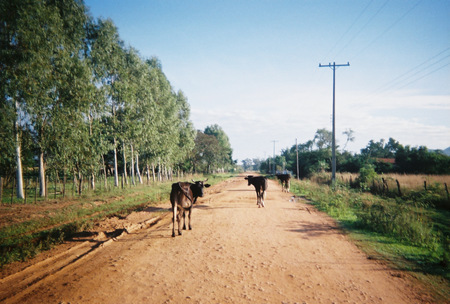
A dirt road or track is a type of unpaved road not paved with asphalt, concrete, brick, or stone; made from the native material of the land surface through which it passes, known to highway engineers as subgrade material. Dirt roads are suitable for vehicles; a narrower path for pedestrians, animals, and possibly small vehicles would be called a dirt track—the distinction is not well-defined. Unpaved roads with a harder surface made by the addition of material such as gravel and aggregate (stones), might be referred to as dirt roads in common usage but are distinguished as improved roads by highway engineers. (Improved unpaved roads include gravel roads, laterite roads, murram roads and macadamized roads.) Compared to a gravel road, a dirt road is not usually graded regularly to produce an enhanced camber to encourage rainwater to drain off the road, and drainage ditches at the sides may be absent. They are unlikely to have embankments through low-lying areas. This ... [...More Info...] [...Related Items...] OR: [Wikipedia] [Google] [Baidu] |
Pinus Sylvestris
''Pinus sylvestris'', the Scots pine (UK), Scotch pine (US) or Baltic pine, is a species of tree in the pine family Pinaceae that is native to Eurasia. It can readily be identified by its combination of fairly short, blue-green leaves and orange-red bark. Description ''Pinus sylvestris'' is an evergreen coniferous tree growing up to in height and in trunk diameter when mature, exceptionally over tall and in trunk diameter on very productive sites. The tallest on record is a tree over 210 years old tree growing in Estonia which stands at . The lifespan is normally 150–300 years, with the oldest recorded specimens in Lapland, Northern Finland over 760 years. The bark is thick, flaky and orange-red when young to scaly and gray-brown in maturity, sometimes retaining the former on the upper portion.Trees for LifeSpecies profile: Scots pine/ref> The habit of the mature tree is distinctive due to its long, bare and straight trunk topped by a rounded or flat-topped mass of ... [...More Info...] [...Related Items...] OR: [Wikipedia] [Google] [Baidu] |
Spruce
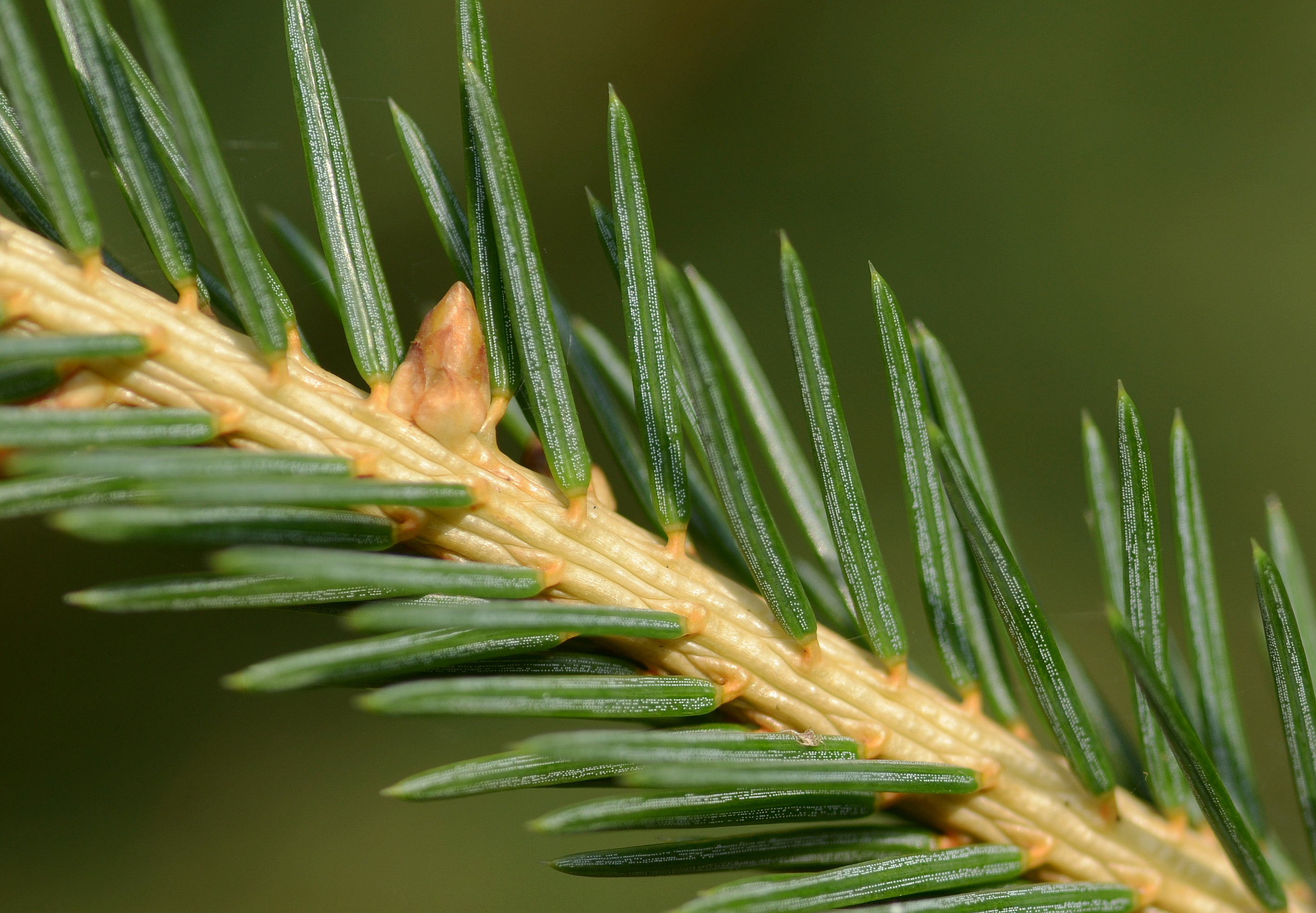
A spruce is a tree of the genus ''Picea'' (), a genus of about 35 species of coniferous evergreen trees in the family Pinaceae, found in the northern temperate and boreal ( taiga) regions of the Earth. ''Picea'' is the sole genus in the subfamily Piceoideae. Spruces are large trees, from about 20 to 60 m (about 60–200 ft) tall when mature, and have whorled branches and conical form. They can be distinguished from other members of the pine family by their needles (leaves), which are four-sided and attached singly to small persistent peg-like structures ( pulvini or sterigmata) on the branches, and by their cones (without any protruding bracts), which hang downwards after they are pollinated. The needles are shed when 4–10 years old, leaving the branches rough with the retained pegs. In other similar genera, the branches are fairly smooth. Spruce are used as food plants by the larvae of some Lepidoptera (moth and butterfly) species, such as the eastern spru ... [...More Info...] [...Related Items...] OR: [Wikipedia] [Google] [Baidu] |


