|
Rake Brook Reservoir
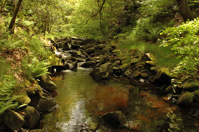
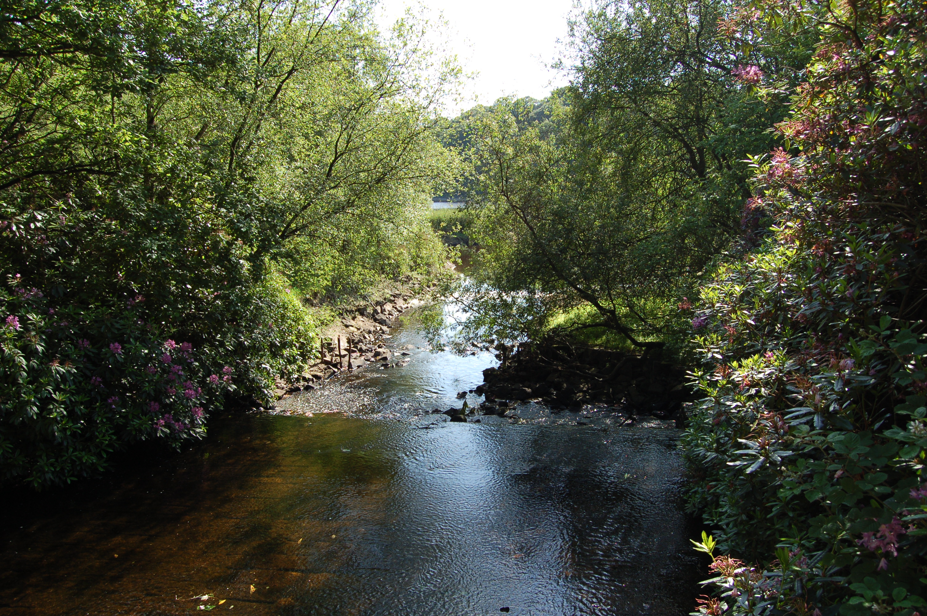
Rake Brook Reservoir is a reservoir fed by two streams, including the eponymous Rake Brook, a tributary of the River Roddlesworth in Lancashire, England. The reservoir is adjacent to the two Roddlesworth Reservoirs. It was constructed in the 1850s by Thomas Hawksley for Liverpool Corporation Waterworks, and was designed to hold compensation water to maintain flows in the rivers, whereas the reservoirs at Lower Rivington, Upper Rivington and Anglezarke held water for the public water supply. Water from the reservoir was fed into Anglezarke reservoir by a channel called The Goit. Construction of the reservoir was authorised by an Act of Parliament obtained in 1847, and the engineer Thomas Hawksley Thomas Hawksley ( – ) was an English civil engineer of the 19th century, particularly associated with early water supply and coal gas engineering projects. Hawksley was, with John Frederick Bateman, the leading British water engineer of the n ... designed an earth dam which wa ... [...More Info...] [...Related Items...] OR: [Wikipedia] [Google] [Baidu] |
Lancashire
Lancashire ( , ; abbreviated ''Lancs'') is a ceremonial county in North West England. It is bordered by Cumbria to the north, North Yorkshire and West Yorkshire to the east, Greater Manchester and Merseyside to the south, and the Irish Sea to the west. The largest settlement is Preston, Lancashire, Preston, and the county town is the city of Lancaster, Lancashire, Lancaster. The county has an area of and a population of 1,490,300. Preston is located near the centre of the county, which is urbanised and includes the towns of Blackburn and Burnley; the seaside resort of Blackpool lies to the west, and Lancaster, Lancashire, Lancaster is in the north. For Local government in England, local government purposes the county comprises a non-metropolitan county, with twelve districts, and two Unitary authorities of England, unitary authority areas: Blackburn with Darwen and Borough of Blackpool, Blackpool. Lancashire County Council and the two unitary councils collaborate through the ... [...More Info...] [...Related Items...] OR: [Wikipedia] [Google] [Baidu] |
Reservoir
A reservoir (; ) is an enlarged lake behind a dam, usually built to water storage, store fresh water, often doubling for hydroelectric power generation. Reservoirs are created by controlling a watercourse that drains an existing body of water, interrupting a watercourse to form an Bay, embayment within it, excavating, or building any number of retaining walls or levees to enclose any area to store water. Types Dammed valleys Dammed reservoirs are artificial lakes created and controlled by a dam constructed across a valley and rely on the natural topography to provide most of the basin of the reservoir. These reservoirs can either be ''on-stream reservoirs'', which are located on the original streambed of the downstream river and are filled by stream, creeks, rivers or rainwater that surface runoff, runs off the surrounding forested catchments, or ''off-stream reservoirs'', which receive water diversion, diverted water from a nearby stream or aqueduct (water supply), aq ... [...More Info...] [...Related Items...] OR: [Wikipedia] [Google] [Baidu] |
Stream
A stream is a continuous body of water, body of surface water Current (stream), flowing within the stream bed, bed and bank (geography), banks of a channel (geography), channel. Depending on its location or certain characteristics, a stream may be referred to by a variety of local or regional names. Long, large streams are usually called rivers, while smaller, less voluminous and more intermittent river, intermittent streams are known, amongst others, as brook, creek, rivulet, rill, run, tributary, feeder, freshet, narrow river, and streamlet. The flow of a stream is controlled by three inputs – surface runoff (from precipitation or meltwater), daylighting (streams), daylighted subterranean river, subterranean water, and surfaced groundwater (Spring (hydrology), spring water). The surface and subterranean water are highly variable between periods of rainfall. Groundwater, on the other hand, has a relatively constant input and is controlled more by long-term patterns of pr ... [...More Info...] [...Related Items...] OR: [Wikipedia] [Google] [Baidu] |
Eponymous
An eponym is a noun after which or for which someone or something is, or is believed to be, named. Adjectives derived from the word ''eponym'' include ''eponymous'' and ''eponymic''. Eponyms are commonly used for time periods, places, innovations, biological nomenclature, astronomical objects, works of art and media, and tribal names. Various orthographic conventions are used for eponyms. Usage of the word The term ''eponym'' functions in multiple related ways, all based on an explicit relationship between two named things. ''Eponym'' may refer to a person or, less commonly, a place or thing for which someone or something is, or is believed to be, named. ''Eponym'' may also refer to someone or something named after, or believed to be named after, a person or, less commonly, a place or thing. A person, place, or thing named after a particular person share an eponymous relationship. In this way, Elizabeth I of England is the eponym of the Elizabethan era, but the Elizabethan ... [...More Info...] [...Related Items...] OR: [Wikipedia] [Google] [Baidu] |
River Roddlesworth
The River Roddlesworth (also known as Rocky Brook) is a river in Lancashire, England, a tributary of the River Darwen. Course The source of the river is on the slopes of Great Hill, just above the ruins known as ''Pimm's'', where the infant river is known as Calf Hey Brook. Calf Hey Brook is joined by another stream occasionally termed Roddlesworth - which rises beneath Cartridge Hill and runs past the ruins of ''Hollinshead Hall'' - beneath ''Slipper Lowe''. From there, it follows a northerly course through Roddlesworth Plantations, around the two reservoirs fed by the river and past Red Lees. The river continues through the Stanworth Valley in Livesey, where it is met by Stockclough Brook, and under the M65 motorway and Leeds & Liverpool Canal. Stanworth Valley was the location for some of the No M65 Road Protest camps . This was the site of a 5-day eviction in 1995, between environmentalists and road builders. At stake was the ecologically valuable river system and divers ... [...More Info...] [...Related Items...] OR: [Wikipedia] [Google] [Baidu] |
Liverpool Corporation Waterworks
Liverpool Corporation Waterworks and its successors have provided a public water supply and sewerage and sewage treatment services to the city of Liverpool, England. In 1625 water was obtained from a single well and delivered by cart, but as the town grew, companies supplied water to homes through pipes. There were two main companies by the 1840s, but the water supply was intermittent, and there was general dissatisfaction with the service. Liverpool Corporation decided that such an important service should be provided by a public body, and sought to take over the water supply companies. A series of acts of Parliament were obtained, the first being the Liverpool Act 1846 ( 9 & 10 Vict. c. cxxvii), which created three key posts, the Medical Officer of Health, the Inspector of Nuisances, and the Borough Engineer. The latter post was filled by James Newlands, a visionary man who defined the role of the Borough Engineer, to be copied by many other towns and cities. He set about crea ... [...More Info...] [...Related Items...] OR: [Wikipedia] [Google] [Baidu] |
Lower Rivington Reservoir
Lower Rivington Reservoir is at the end of the Rivington chain of reservoirs in Lancashire, England, with Upper Rivington Reservoir to the north, and Rivington Water Treatment Works to the south. The Rivington chain primarily supplies 70,000 households in the Wigan area. The chain was built to supply Liverpool. The engineer for the Rivington reservoirs was Thomas Hawksley and construction for the Liverpool Corporation Waterworks took place between 1852 and 1857. The Lower Rivington reservoir has two dams - the Millstone Embankment, which is long and high, and the Horwich Embankment, which is long and high. Filter beds were constructed at the foot of the Horwich Embankment, The original sand filters were replaced by a new treatment plant from where a pipeline runs to the service reservoirs at Eccleston, St Helens. The River Douglas was diverted through a paved channel in a deep cutting into Lower Rivington. On the Rivington bank of the reservoir is a folly which is a repli ... [...More Info...] [...Related Items...] OR: [Wikipedia] [Google] [Baidu] |
Upper Rivington Reservoir
Upper Rivington Reservoir is situated centrally in the Rivington chain of reservoirs, on the West Pennine Moors in Lancashire, England, between Rivington and Anglezarke. The engineer for the Rivington reservoirs was Thomas Hawksley and construction for Liverpool Corporation Waterworks took place between 1852 and 1857. The two dams of the Upper Rivington reservoir are the Horrobin Embankment that separates it from the lower reservoir and carries a road into the village from the west, and the long, high Yarrow Embankment. There is an island. A bridleway and residence, The Street (Rivington), The Street are on the side of the reservoir. It is a popular walking destination, between Anglezarke Reservoir to the north, Lower Rivington Reservoir to the south, and Yarrow reservoir to the east. Street Bottoms and Street Wood were lost with the formation of the reservoir. References {{authority control Drinking water reservoirs in England Rivington Reservoirs in Lancashire ... [...More Info...] [...Related Items...] OR: [Wikipedia] [Google] [Baidu] |
Anglezarke Reservoir
Anglezarke Reservoir is the largest reservoir in the Rivington chain to the west of Anglezarke in Lancashire, England. Anglezarke Reservoir has three embankments: the Charnock Embankment, the longest, is long and high, the Knowsley Embankment is long and high and the Heapey Embankment is long and high. It is fed by the River Yarrow, which has been diverted from its original course which is now covered by the Knowsley Embankment. It served the city of Liverpool before its current status as a supply mainly for Wigan. The original `Rivington Pike Scheme' was undertaken by Thomas Hawksley between 1850 and 1857 for the Liverpool Corporation Waterworks. The scheme was to construct five reservoirs and a water treatment works at the south end of Lower Rivington with a pipeline to storage reservoirs at Prescot. Water from two higher level reservoirs, Rake Brook and Lower Roddlesworth, was carried south in `The Goit', a channel connecting them to the reservoirs. In November 1997 ... [...More Info...] [...Related Items...] OR: [Wikipedia] [Google] [Baidu] |
The Goit
The Goit (sometimes written ''The Goyt'') (see Oxford English Dictionary - Gote - a watercourse; any channel for water; a stream. Chiefly northern dialect.) is a canal used for transporting drinking water along the Rivington chain in Lancashire, England. The section in Brinscall Brinscall is a village in the Borough of Chorley, Lancashire, England. Located approximately five miles north-east of Chorley, Brinscall borders the similar-sized villages of Withnell and Abbey Village. Brinscall is part of the civil parish of W ... is currently covered, and a local campaign is ongoing to attempt to uncover the water. The Goit is now uncovered from Brinscall down to Anglezarke, passing through White Coppice, a path follows its course the whole way on either side. External links GREAT (Goit River Environment Action Team) Drinking water reservoirs in England Geography of Chorley Reservoirs in Lancashire {{Lancashire-geo-stub ... [...More Info...] [...Related Items...] OR: [Wikipedia] [Google] [Baidu] |
Thomas Hawksley
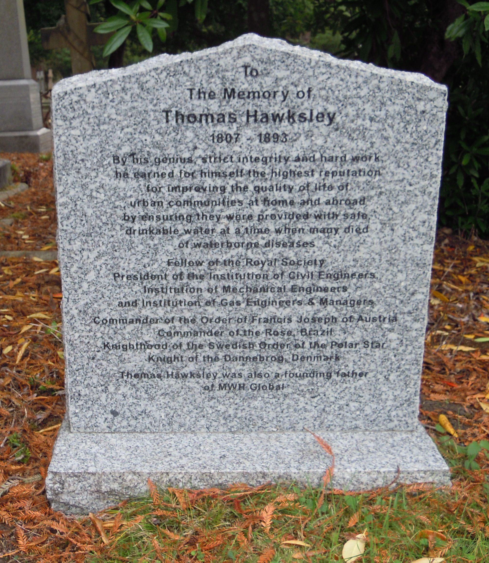
Thomas Hawksley ( – ) was an English civil engineer of the 19th century, particularly associated with early water supply and coal gas engineering projects. Hawksley was, with John Frederick Bateman, the leading British water engineer of the nineteenth century and was personally responsible for upwards of 150 water-supply schemes, in the British Isles and overseas.Hawksley, Thomas Biography The son of John Hawksley and Sarah Thompson and born in Arnot Hill House, Arnold, near |


