|
Písek
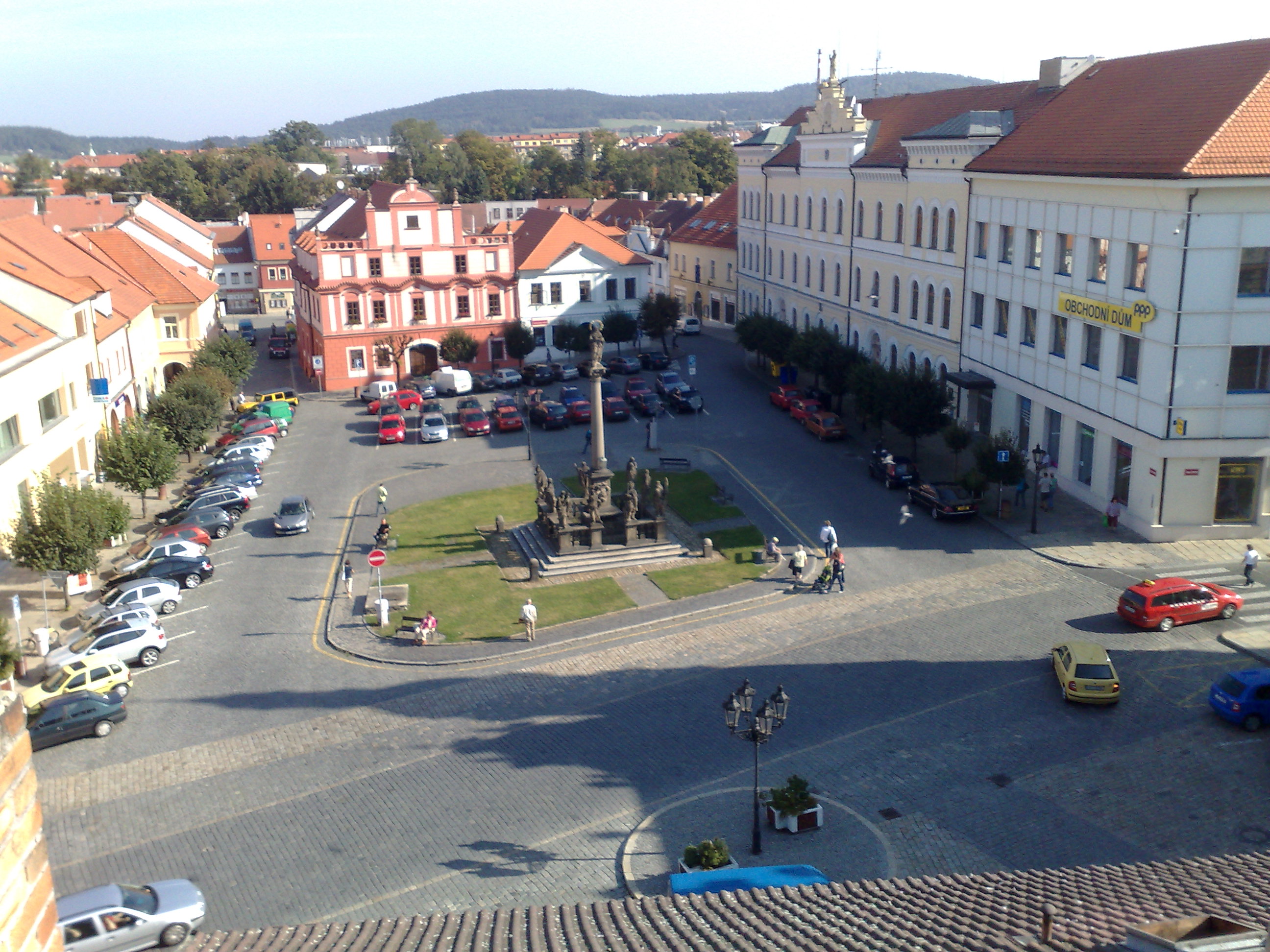
Písek (; ) is a town in the South Bohemian Region of the Czech Republic. It has about 31,000 inhabitants. The town is known for the oldest bridge in the country. The historic town centre is well preserved and is protected as an urban monument zone. Písek is a centre of education with a number of important schools. Up to the last decades of 19th century, Písek was the centre of the large autonomous Prácheňsko region. Administrative division Písek consists of nine municipal parts (in brackets population according to the 2021 census): *Budějovické Předměstí (18,219) *Hradiště (2,016) *Pražské Předměstí (5,577) *Václavské Předměstí (1,589) *Vnitřní Město (1,036) *Nový Dvůr (110) *Purkratice (47) *Semice (425) *Smrkovice (590) The urban core is formed by Budějovické Předměstí, Hradiště, Pražské Předměstí, Václavské Předměstí and Vnitřní Město, Etymology The name of Písek literally means 'sand' in Czech. It refers to the sand of th ... [...More Info...] [...Related Items...] OR: [Wikipedia] [Google] [Baidu] |
Písek District
Písek District () is a Okres, district in the South Bohemian Region of the Czech Republic. Its capital is the town of Písek. Administrative division Písek District is divided into two Districts of the Czech Republic#Municipalities with extended competence, administrative districts of municipalities with extended competence: Písek and Milevsko. List of municipalities Towns are marked in bold and market towns in ''italics'': Albrechtice nad Vltavou – ''Bernartice (Písek District), Bernartice'' – Borovany (Písek District), Borovany – Boudy – Božetice – Branice – Cerhonice – Chyšky – Čimelice – Čížová – Dobev – Dolní Novosedly – Dražíč – Drhovle – Heřmaň (Písek District), Heřmaň – Horosedly – Hrazany – Hrejkovice – Jetětice – Jickovice – Kestřany – Kluky (Písek District), Kluky – Kostelec nad Vltavou – Kovářov – Kožlí (Písek District), Kožlí – Králova Lhota (Písek District), Králova Lhota – Křenovi ... [...More Info...] [...Related Items...] OR: [Wikipedia] [Google] [Baidu] |
Písek Stone Bridge
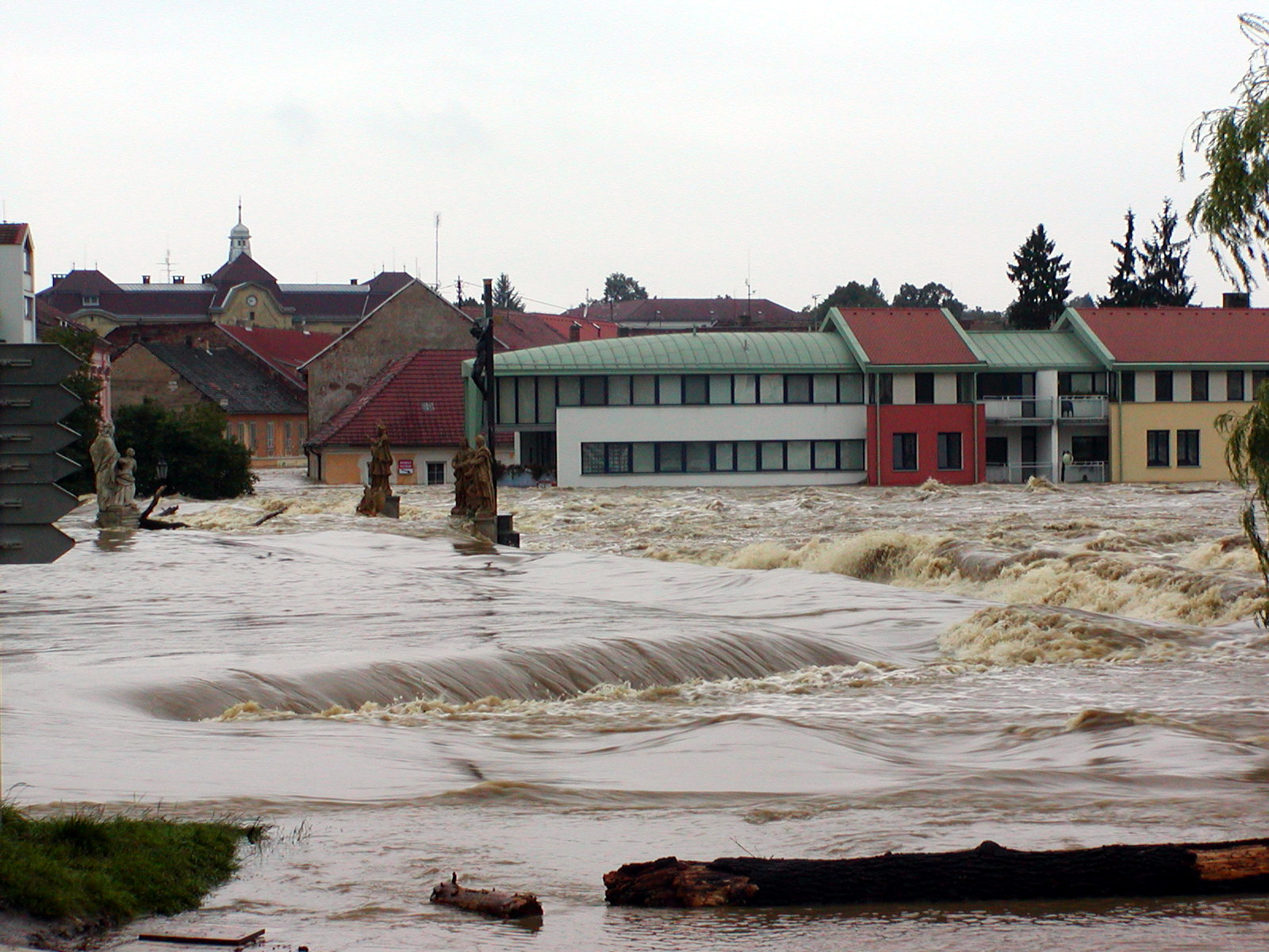
The Písek Stone Bridge () is the oldest preserved early Gothic architecture, Gothic bridge in the Czech Republic and by its originality, although deprived of its dominants, which formed its tower with gates, is one of the rarest medieval bridges in Central Europe. It spans the Otava (river), Otava River, a tributary of the Vltava. It is located in the south Bohemian town of Písek. It was probably built in the 3rd quarter of the 13th century. The bridge has been on the list of the Czech cultural monuments since 1989, becoming a national cultural monument in 1998. It is sometimes called the ''Stag Bridge'', according to legend because it was to be named after the first being to pass over it. At the time, Písek was surrounded by deep woods, so the first being to cross the bridge was a stag. However, most local people still call it the ''Old Bridge''. The bridge became an important link on the Golden Trail, which connected the Baltic states, Baltic areas with the Mediterranean ar ... [...More Info...] [...Related Items...] OR: [Wikipedia] [Google] [Baidu] |
South Bohemian Region
The South Bohemian Region () is an administrative unit (''Regions of the Czech Republic, kraj'') of the Czech Republic, located mostly in the southern part of its historical land of Bohemia, with a small part in southwestern Moravia. The western part of the South Bohemian Region is former Prácheňsko, a huge archaic region with distinctive features with its capital, Písek. In 2011, there were 624 municipalities in the region, whereof 54 had a status of a town. The region borders (from the west clockwise) the regions of Plzeň Region, Plzeň, Central Bohemian Region, Central Bohemian, Vysočina Region, Vysočina and South Moravian Region, South Moravian. To the south, it borders Austria (Lower Austria and Upper Austria) and Germany (Bavaria). Until 30 May 2001, the region was named as or , after its capital, České Budějovice. Due to its geographical location and natural surroundings the region belongs to the first settlements that appeared in the distant past. Over the past ... [...More Info...] [...Related Items...] OR: [Wikipedia] [Google] [Baidu] |
Otava (river)
The Otava () is a river in the Czech Republic, a left tributary of the Vltava River. It flows through the Plzeň Region, Plzeň and South Bohemian Region, South Bohemian regions. It is formed by the confluence of the Vydra (river), Vydra and Křemelná rivers. Together with the Vydra, which is its main source, the Otava is long, making it the List of rivers of the Czech Republic, 13th longest river in the country. Without the Vydra, it is long. Etymology The origin of the name is unclear. The word ''otava'' literally means "second harvest of grass", but the name of the river is probably of pre-Slavic origin and the resemblance to the word ''otava'' is only coincidental. A possible but unproven origin is the Germanic word ''Vatahva'', meaning "quick water". According to one theory, the name of the river is derived from the Celtic languages, Celtic words ''áth a ava'', which meant "river with many Ford (crossing), fords". Characteristic From a water management point of view, the ... [...More Info...] [...Related Items...] OR: [Wikipedia] [Google] [Baidu] |
Prácheňsko
Prácheňsko (; ) is a historical and cultural region in the Czech Republic, covering roughly the Otava River basin, mostly in the northwest part of South Bohemia. It was an administrative region in southwestern Bohemia, created in the late 13th century and abolished by the Austrian Empire's regional reform of 1848. Description Its boundaries extended through the Bohemian Forest in the south, towards České Budějovice to the north, close to the town of Příbram, and southwest to Železná Ruda. Ethnic groups of the region included Czechs, Germans, Jews and Romani, and by religion were Roman Catholics, Protestants ( Utraquists) and Jews. Today this area is divided among three current regions, namely South Bohemian (vast majority), Plzeň and Central Bohemian. Its capital was Písek, now a major town of approximately 30,000 inhabitants. The first region's centre, Prácheň gord (which gave its name to the whole region), is now overtaken by forest. Its remains lie in the t ... [...More Info...] [...Related Items...] OR: [Wikipedia] [Google] [Baidu] |
Districts Of The Czech Republic
Districts of the Czech Republic are territorial units, formerly used as second-level administrative divisions of the Czech Republic. After their primary administrative function has been abolished in 2003, they still exist for the activities of specific authorities and as statistical units. Their administrative function was moved to selected municipalities. Establishment In 1960, Czechoslovakia was re-divided into districts (''okres'', Grammatical number, plural ''okresy''), often without regard to traditional division and local relationships. In the area of the Czech Republic, there were 75 districts; the 76th Jeseník District was split from Šumperk District in 1996. Three consisted only of the Statutory city (Czech Republic), statutory cities of Brno, Ostrava and Plzeň, which gained the status of districts only in 1971; Ostrava and Plzeň districts were later expanded. The capital city of Prague has a special status, being considered a municipality and region at the same time ... [...More Info...] [...Related Items...] OR: [Wikipedia] [Google] [Baidu] |
Tábor Uplands
Tábor (; ) is a town in the South Bohemian Region of the Czech Republic. It has about 34,000 inhabitants, making it the second most populated town in the region. The town was founded by the Hussites in 1420. The historic town centre is well preserved and is protected as an urban monument reservation. Administrative division Tábor consists of 15 municipal parts (in brackets population according to the 2021 census): *Tábor (25,625) *Čekanice (1,355) *Čelkovice (680) *Hlinice (208) *Horky (1,047) *Klokoty (1,092) *Měšice (1,759) *Náchod (340) *Smyslov (58) *Stoklasná Lhota (180) *Větrovy (393) *Všechov (37) *Zahrádka (49) *Záluží (189) *Zárybničná Lhota (348) Etymology Although the town's Czech name translates directly to 'camp' or 'encampment', these words were derived from the Tábor's name, and the town was named after the biblical Mount Tabor located in Israel. The town also gave its name to the Taborites, a radical wing of the Hussites. Tábor was initially ... [...More Info...] [...Related Items...] OR: [Wikipedia] [Google] [Baidu] |
Bohemia
Bohemia ( ; ; ) is the westernmost and largest historical region of the Czech Republic. In a narrow, geographic sense, it roughly encompasses the territories of present-day Czechia that fall within the Elbe River's drainage basin, but historically it could also refer to a wider area consisting of the Lands of the Bohemian Crown ruled by the List of Bohemian monarchs, Bohemian kings, including Moravia and Czech Silesia, in which case the smaller region is referred to as Bohemia Proper as a means of distinction. Bohemia became a part of Great Moravia, and then an independent principality, which became a Kingdom of Bohemia, kingdom in the Holy Roman Empire. This subsequently became a part of the Habsburg monarchy and the Austrian Empire. After World War I and the establishment of an History of Czechoslovakia (1918–1938), independent Czechoslovak state, the whole of Bohemia became a part of Czechoslovakia, defying claims of the German-speaking inhabitants that regions with German ... [...More Info...] [...Related Items...] OR: [Wikipedia] [Google] [Baidu] |
České Budějovice Basin
The České Budějovice Basin () is a structural basin and Geomorphological division of the Czech Republic, geomorphological mesoregion of the Czech Republic. It is located in the South Bohemian Region and it is named after the city of České Budějovice. It is known as a cultural landscape with numerous ponds. Geomorphology The České Budějovice Basin is one of the Mesoregion (geomorphology), mesoregions of the South Bohemian Basins (the second being the Třeboň Basin) within the Bohemian Massif. It is further subdivided into the microregions of Putim Basin and Blata Basin. The basin is a tectonic depression limited mostly by distinctive fault slopes, filled with slightly undulating to flat relief at a height of 380–410 m above sea level, which is the result of erosion and denudation processes after the emptying of lakes in the Neogene. There are no significant peaks in the area. The highest hill is Vráže at above sea level, in the southern part of the territory. In the ... [...More Info...] [...Related Items...] OR: [Wikipedia] [Google] [Baidu] |
Prague
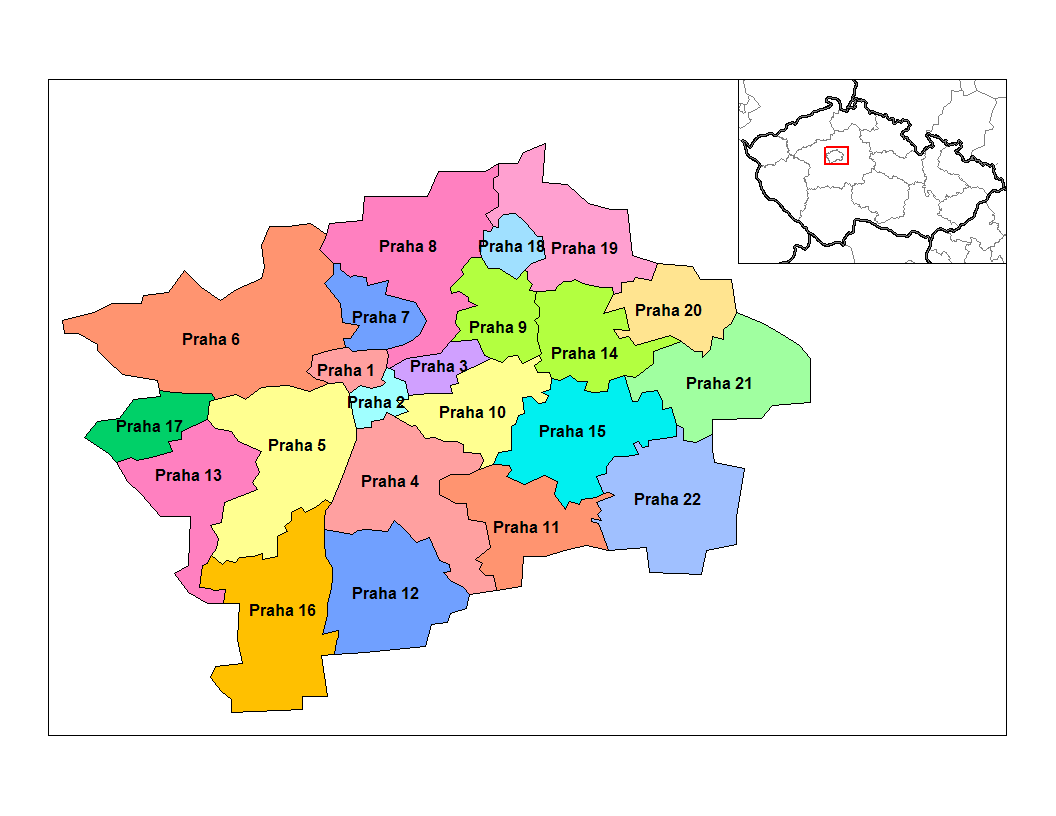
Prague ( ; ) is the capital and List of cities and towns in the Czech Republic, largest city of the Czech Republic and the historical capital of Bohemia. Prague, located on the Vltava River, has a population of about 1.4 million, while its Prague metropolitan area, metropolitan area is home to approximately 2.3 million people. Prague is a historical city with Romanesque architecture, Romanesque, Czech Gothic architecture, Gothic, Czech Renaissance architecture, Renaissance and Czech Baroque architecture, Baroque architecture. It was the capital of the Kingdom of Bohemia and residence of several Holy Roman Emperors, most notably Charles IV, Holy Roman Emperor, Charles IV (r. 1346–1378) and Rudolf II, Holy Roman Emperor, Rudolf II (r. 1575–1611). It was an important city to the Habsburg monarchy and Austria-Hungary. The city played major roles in the Bohemian Reformation, Bohemian and the Protestant Reformations, the Thirty Years' War and in 20th-century history a ... [...More Info...] [...Related Items...] OR: [Wikipedia] [Google] [Baidu] |
Cultural Monument (Czech Republic)
The cultural monuments of the Czech Republic ( Czech: ''kulturní památka'') are protected properties (both real and movable properties) designated by the Ministry of Culture of the Czech Republic. Cultural monuments that constitute the most important part of the Czech cultural heritage may be declared national cultural monuments ( Czech: ''národní kulturní památka'') by a regulation of the Government of the Czech Republic. The government may also proclaim a territory, whose character and environment are determined by a group of immovable cultural monuments or archaeological finds, as a whole, as a monument reservation. The Ministry of Culture may proclaim a territory of a settlement with a smaller number of cultural monuments, a historical environment or part of a landscape area that displays significant cultural values as a monument zone. As of 2019, there are 14 Czech cultural monuments on the World Heritage List. Proclaiming Objects as Cultural Monuments The criter ... [...More Info...] [...Related Items...] OR: [Wikipedia] [Google] [Baidu] |
USDA
The United States Department of Agriculture (USDA) is an United States federal executive departments, executive department of the Federal government of the United States, United States federal government that aims to meet the needs of commercial farming and livestock food production, promotes agricultural trade and production, works to assure food safety, protects natural resources, fosters rural communities and works to end hunger in the United States and internationally. It is headed by the secretary of agriculture, who reports directly to the president of the United States and is a member of the president's Cabinet of the United States, Cabinet. The current secretary is Brooke Rollins, who has served since February 13, 2025. Approximately 71% of the USDA's $213 billion budget goes towards nutrition assistance programs administered by the Food and Nutrition Service (FNS). The largest component of the FNS budget is the Supplemental Nutrition Assistance Program (formerly ... [...More Info...] [...Related Items...] OR: [Wikipedia] [Google] [Baidu] |


