|
Port Salford
Port Salford is a freight terminal on the banks of the Manchester Ship Canal in Barton-upon-Irwell, Greater Manchester, England, west of Manchester city centre. The port is part of the Atlantic Gateway project and its construction was led by Peel Ports, a subsidiary of the Peel Group, and was opened in 2016. Port Salford cost £400 million to construct. Background Port Salford is based on the banks of the Manchester Ship Canal, the only ship canal in the United Kingdom and the eighth longest in the world. The canal connects Manchester, a national city of cultural and economic significance, to the Irish Sea. The ship canal was completed in 1894 and designed to give Manchester and Salford unhindered access to the sea. At its peak in the 1960s, Manchester docks were the third busiest in the United Kingdom. Development The port is close to key sites for the distribution of goods, such as Manchester and Trafford Park. Construction tenders were handed out in March 2011, and buildi ... [...More Info...] [...Related Items...] OR: [Wikipedia] [Google] [Baidu] |
Barton-upon-Irwell
Barton upon Irwell (also known as Barton-on-Irwell or Barton) is a suburb of the City of Salford, Greater Manchester, England, with a population of 12,462 in 2014. History Barton Old Hall, a brick-built house degraded to a farmhouse, was the seat of the Barton, Booth and Leigh families. The church of St Catherine, built in stone with an octagonal spire rising to , was consecrated in 1843. The church was demolished in the 1970s due to dry rot and the parish was merged with the neighbouring church of St Michael & All Angels, Peel Green. Governance Within the boundaries of the historic county of Lancashire, Barton-upon-Irwell was a township in the ecclesiastical parish of Eccles in the hundred of Salford. Barton was joined with the municipal borough of Eccles in 1933 which was at the time part of the Lancashire administrative county. Eccles joined the City of Salford, Greater Manchester in 1974. Barton upon Irwell is currently represented in Westminster by Barbara Keeley MP f ... [...More Info...] [...Related Items...] OR: [Wikipedia] [Google] [Baidu] |
Trafford Park
Trafford Park is an area of the Trafford, Metropolitan Borough of Trafford, Greater Manchester, England, opposite Salford Quays on the southern side of the Manchester Ship Canal, southwest of Manchester city centre and north of Stretford. Until the late 19th century, it was the ancestral home of the Trafford (surname), Trafford family, who sold it to financier Ernest Terah Hooley in 1896. Occupying an area of , it was the first planned industrial park, industrial estate in the world, and remains the largest in Europe well over a century later. Trafford Park is almost entirely surrounded by water; the Bridgewater Canal forms its southeastern and southwestern boundaries, and the Manchester Ship Canal, which opened in 1894, its northeastern and northwestern. Hooley's plan was to develop the Ship Canal frontage, but the canal was slow to generate the predicted volume of traffic, so in the early days the park was largely used for leisure activities such as golf, polo and boating. ... [...More Info...] [...Related Items...] OR: [Wikipedia] [Google] [Baidu] |
Hochtief
Hochtief AG is a German construction company based in Essen, North Rhine-Westphalia, Germany.Hochtief investor relations website Retrieved 16 February 2006 Hochtief is Germany's largest construction company and operates globally, ranking as one of the largest general construction companies in the United States through its Turner subsidiary, and in Australia through a 90% shareholding in CIMIC Group. In 2010 it employed more than 70,000 employees across five corporate divisions. One of these, |
Trafford
Trafford is a metropolitan borough of Greater Manchester, England, with an estimated population of 235,493 in 2017. It covers Retrieved on 13 December 2007. and includes the area of Old Trafford and the towns of Altrincham, Stretford, Urmston, Partington and Sale. The borough was formed in 1974 as a merger of six former districts and part of a seventh. The River Mersey flows through the borough, separating North Trafford from South Trafford, and the historic counties of Lancashire and Cheshire. Trafford is the fifth-most populous district in Greater Manchester. There is evidence of Neolithic, Bronze Age, and Roman activity in the area, two castles – one of them a Scheduled Ancient Monument – and over 200 listed buildings. In the late 19th century, the population rapidly expanded with the arrival of the railway. Trafford is the home of Altrincham Football Club, Trafford Football Club, Manchester United F.C. and Lancashire County Cricket Club and ... [...More Info...] [...Related Items...] OR: [Wikipedia] [Google] [Baidu] |
City Of Salford
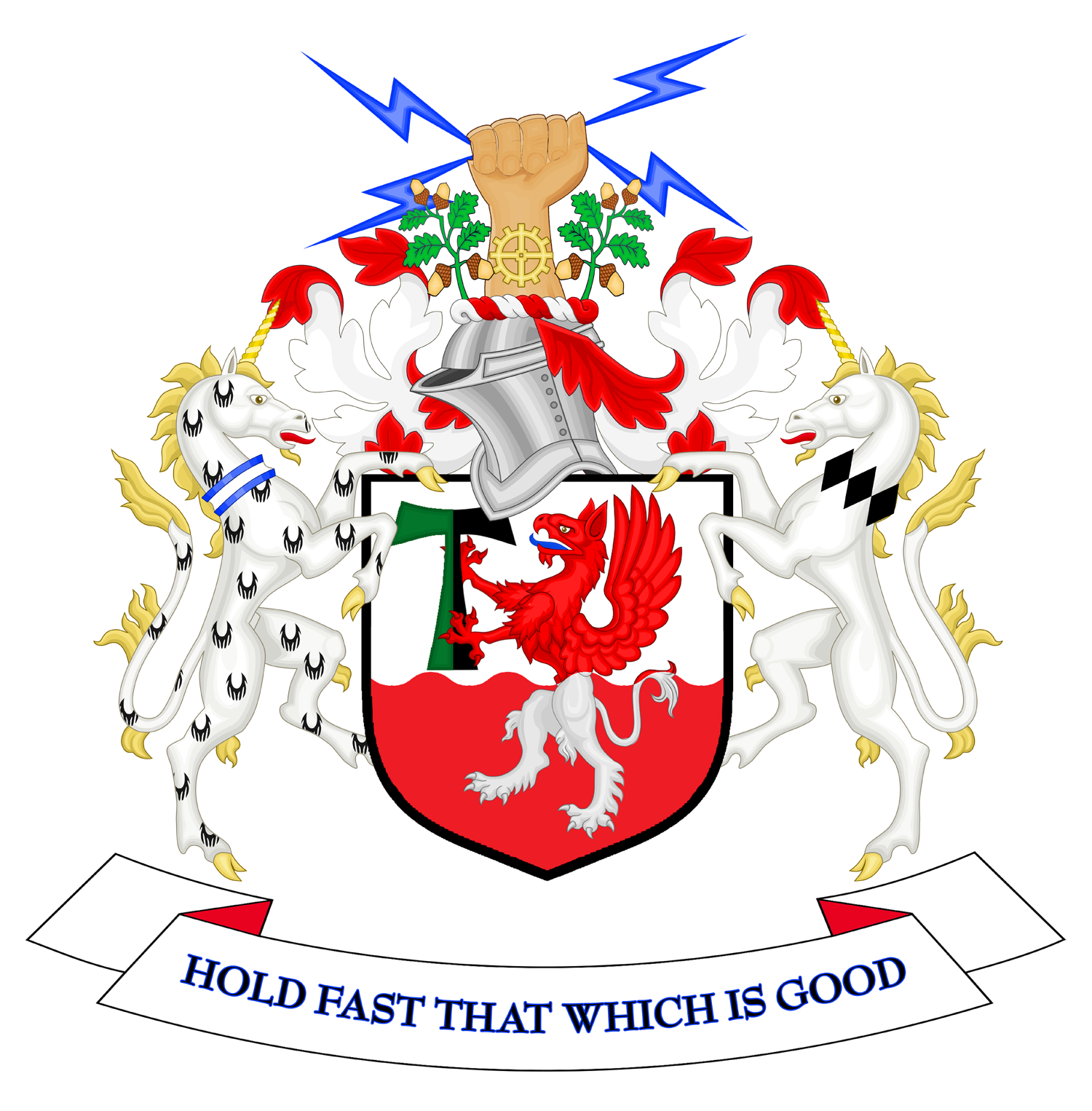
The City of Salford () is a metropolitan borough within Greater Manchester, England. The borough is named after its main settlement, Salford. The borough covers the towns of Eccles, Swinton, Walkden and Pendlebury, as well as the villages and suburbs of Monton, Little Hulton, Boothstown, Ellenbrook, Clifton, Cadishead, Pendleton, Winton and Worsley. The borough has a population of 270,000, and is administered from the Salford Civic Centre in Swinton. Salford is the historic centre of the Salford Hundred an ancient subdivision of Lancashire. The City of Salford is the 5th-most populous district in Greater Manchester. The city's boundaries, set by the Local Government Act 1972, include five former local government districts. It is bounded on the southeast by the River Irwell, which forms part of its boundary with Manchester to the east, and by the Manchester Ship Canal to the south, which forms its boundary with Trafford. The metropolitan boroughs of Wigan, Bolton ... [...More Info...] [...Related Items...] OR: [Wikipedia] [Google] [Baidu] |
Eccles, Greater Manchester
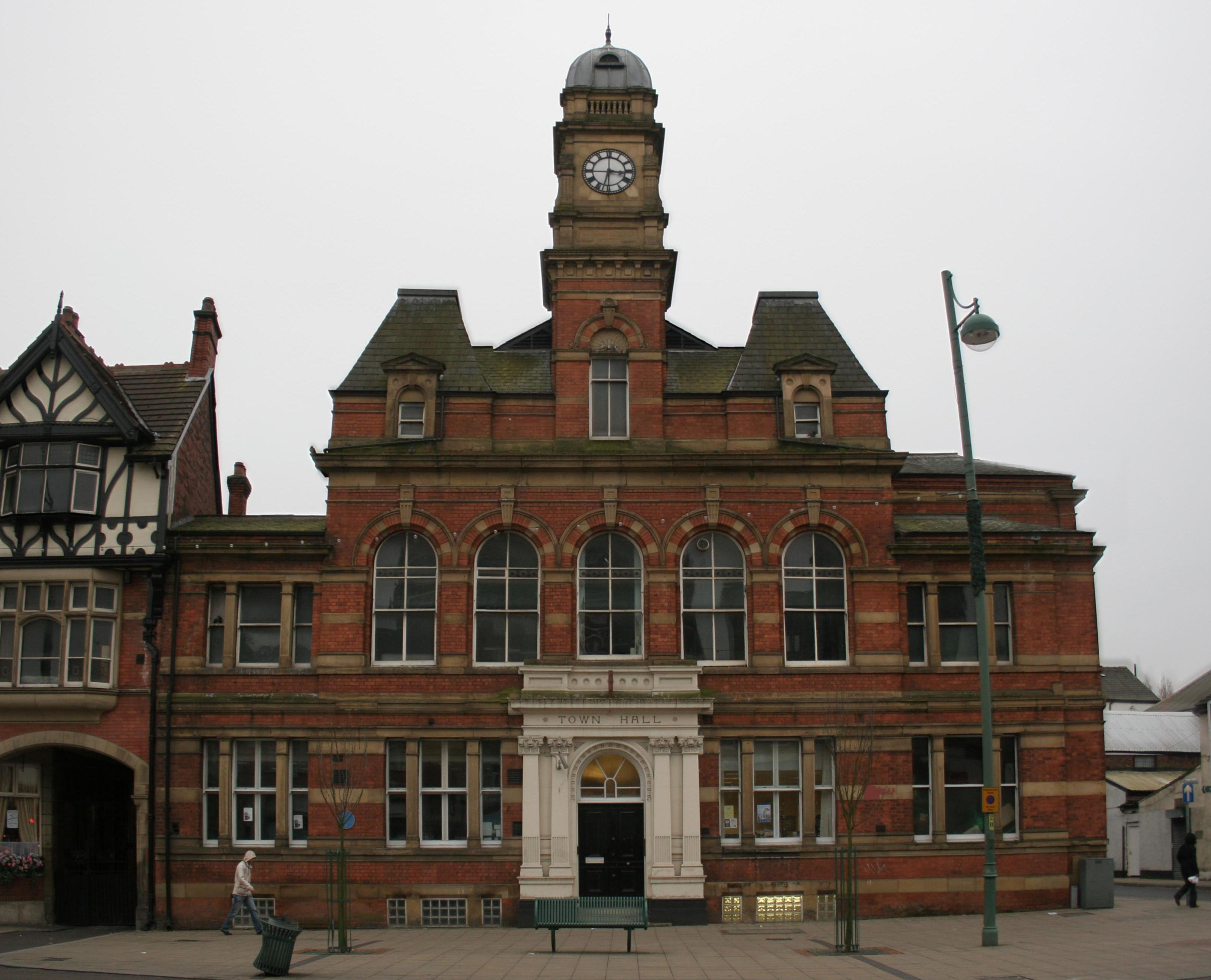
Eccles () is a town in the City of Salford in Greater Manchester, England, west of Salford and west of Manchester, split by the M602 motorway and bordered by the Manchester Ship Canal to the south. The town is famous for the Eccles cake. Eccles grew around the 13th-century Parish Church of St Mary. Evidence of pre-historic human settlement has been discovered locally, but the area was predominantly agricultural until the Industrial Revolution, when a textile industry was established in the town. The arrival of the Liverpool and Manchester Railway, the world's first passenger railway, led to the town's expansion along the route of the track linking those two cities. History Toponymy The derivation of the name is uncertain, but two suggestion have been proposed. The received one is that the "Eccles" place-name is derived from the Romano-British ''Ecles'' or ''Eglys'' ("eglwys" in Welsh means "church"), which in turn is derived from the Ancient Greek Ecclesia via th ... [...More Info...] [...Related Items...] OR: [Wikipedia] [Google] [Baidu] |
Salford City Stadium
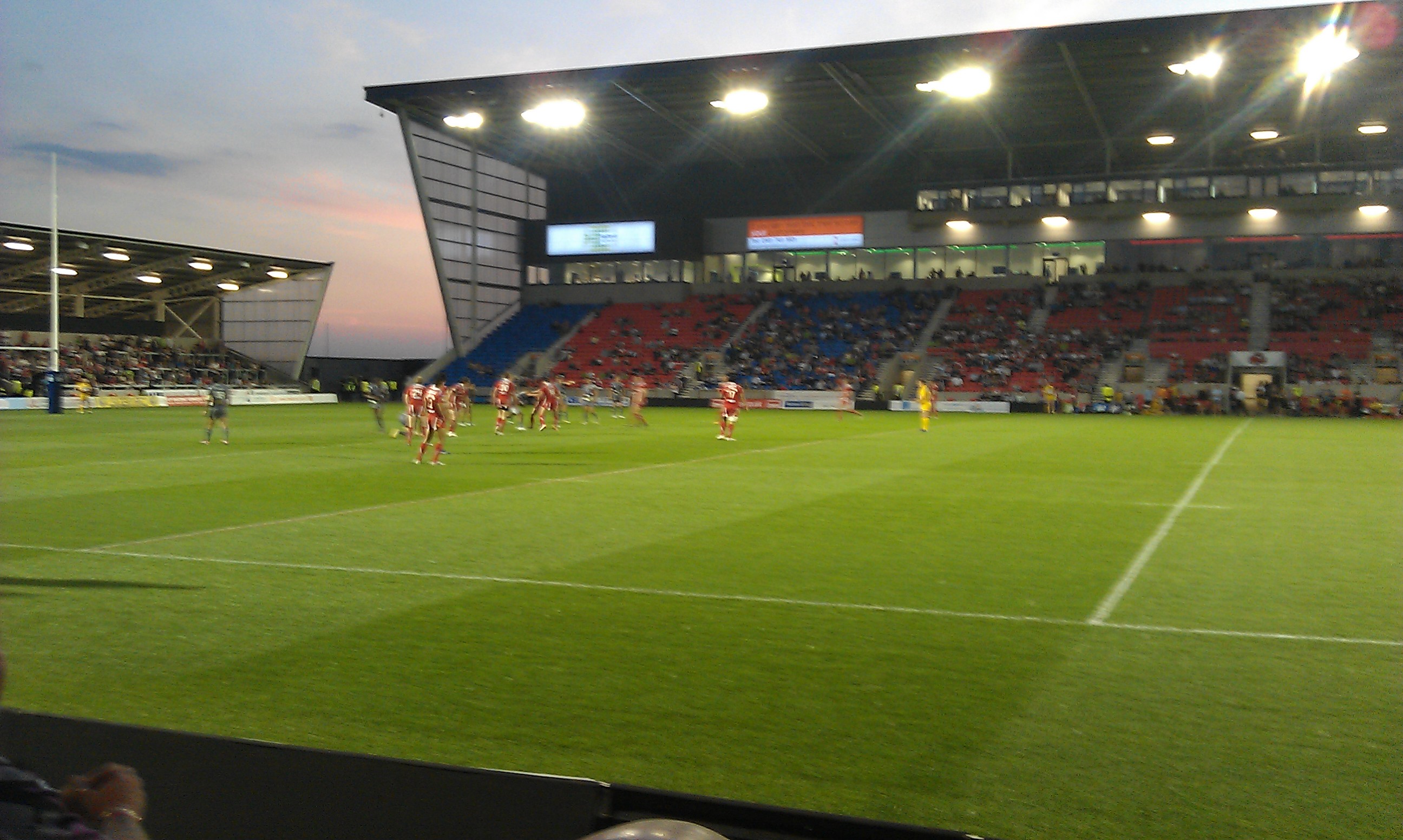
Salford City Stadium (referred to as the AJ Bell Stadium for sponsorship purposes) is a rugby stadium in Barton-upon-Irwell, England, built to replace Salford rugby league club's ground the Willows for the 2012 season. Sale Sharks rugby union club have also played at the stadium since the 2012–13 season. Development and financing In 2005, Salford City Council approved plans for the Reds to move from the Willows to the brownfield site at Barton. The stadium was originally to be developed by Red City Developments, with construction to be complete for the start of the 2009 season. However, RCD went into administration in July 2008. Salford City Council formed a joint venture company with Peel Group to develop and deliver the £16 million stadium, which is part of the a £26 million development close to the Manchester Ship Canal and the M60 motorway. Planning permission was granted in March 2010 for a 15,000-capacity stadium. Sale Sharks confirmed their mo ... [...More Info...] [...Related Items...] OR: [Wikipedia] [Google] [Baidu] |
A57 Road
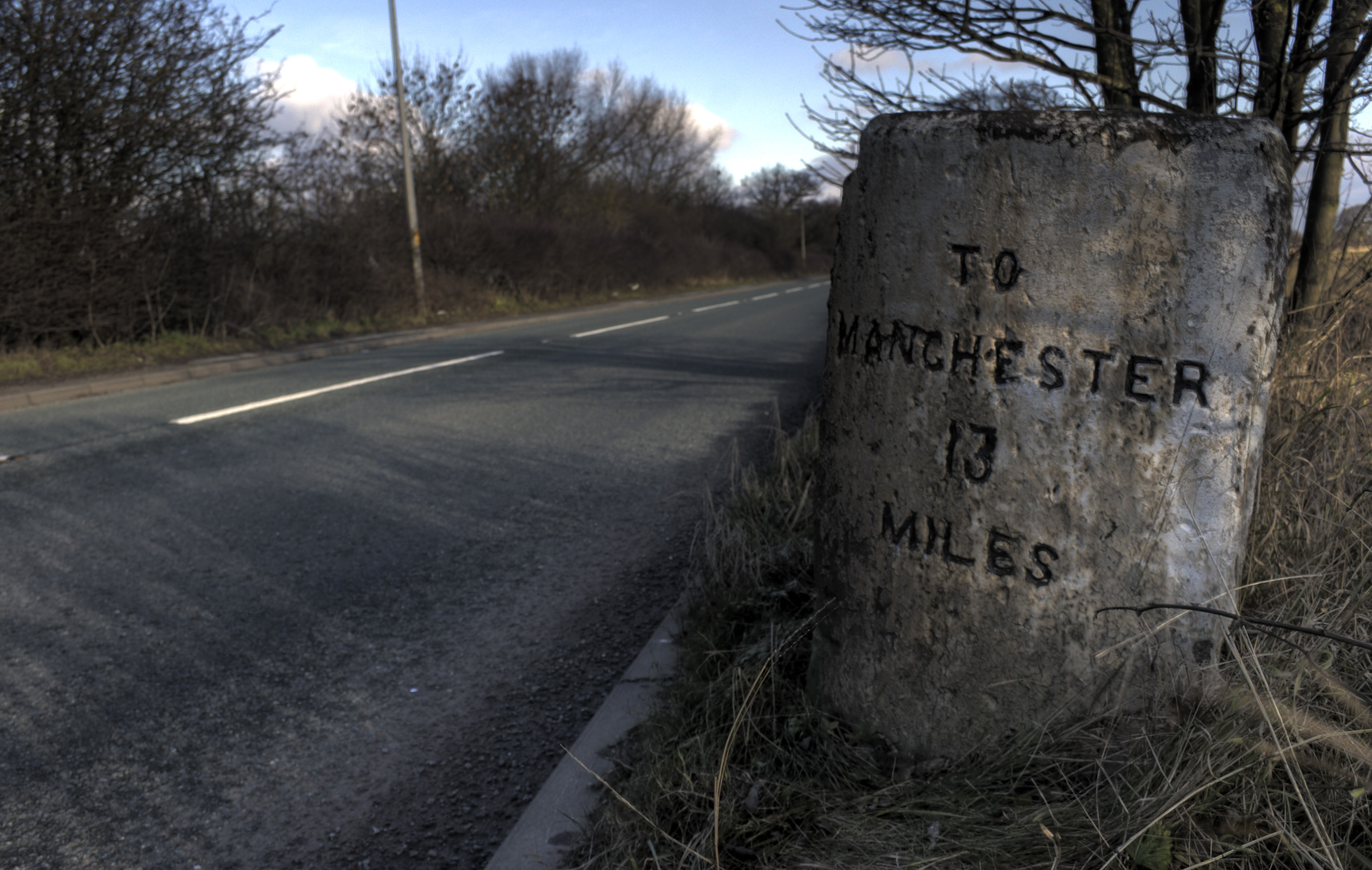
The A57 is a major road in England. It runs east from Liverpool to Lincoln via Warrington, Cadishead, Irlam, Patricroft, Eccles, Salford and Manchester, then through the Pennines over the Snake Pass (between the high moorlands of Bleaklow and Kinder Scout), around the Ladybower Reservoir, through Sheffield and past Worksop. Between Liverpool and Glossop, the road has largely been superseded by the M62, M602 and M67 motorways. Within Manchester a short stretch becomes the Mancunian Way, designated A57(M). Route Liverpool–Warrington The A57 begins at The Strand (A5036) near the River Mersey, as part of Water Street. It forms an east–west route through the north of the city centre with another one-way road system as Tithebarn Street (passing part of Liverpool John Moores University), Great Crosshall Street and Churchill Way in the east direction and Churchill Way and Dale Street in the west direction. The connecting roads Moorfields and Hatton Garden are also part ... [...More Info...] [...Related Items...] OR: [Wikipedia] [Google] [Baidu] |
Greater Manchester
Greater Manchester is a metropolitan county and combined authority area in North West England, with a population of 2.8 million; comprising ten metropolitan boroughs: Manchester, Salford, Bolton, Bury, Oldham, Rochdale, Stockport, Tameside, Trafford and Wigan. The county was created on 1 April 1974, as a result of the Local Government Act 1972, and designated a functional city region on 1 April 2011. Greater Manchester is formed of parts of the historic counties of Cheshire, Lancashire and the West Riding of Yorkshire. Greater Manchester spans , which roughly covers the territory of the Greater Manchester Built-up Area, the second most populous urban area in the UK. Though geographically landlocked, it is connected to the sea by the Manchester Ship Canal which is still open to shipping in Salford and Trafford. Greater Manchester borders the ceremonial counties of Cheshire (to the south-west and south), Derbyshire (to the south-east), West Yorkshire (to the nort ... [...More Info...] [...Related Items...] OR: [Wikipedia] [Google] [Baidu] |
Irish Sea
The Irish Sea or , gv, Y Keayn Yernagh, sco, Erse Sie, gd, Muir Èireann , Ulster-Scots: ''Airish Sea'', cy, Môr Iwerddon . is an extensive body of water that separates the islands of Ireland and Great Britain. It is linked to the Celtic Sea in the south by St George's Channel and to the Inner Seas off the West Coast of Scotland in the north by the North Channel. Anglesey, North Wales, is the largest island in the Irish Sea, followed by the Isle of Man. The term ''Manx Sea'' may occasionally be encountered ( cy, Môr Manaw, ga, Muir Meann gv, Mooir Vannin, gd, Muir Mhanainn). On its shoreline are Scotland to the north, England to the east, Wales to the southeast, Northern Ireland and the Republic of Ireland to the west. The Irish Sea is of significant economic importance to regional trade, shipping and transport, as well as fishing and power generation in the form of wind power and nuclear power plants. Annual traffic between Great Britain and Ireland a ... [...More Info...] [...Related Items...] OR: [Wikipedia] [Google] [Baidu] |
Manchester
Manchester () is a city in Greater Manchester, England. It had a population of 552,000 in 2021. It is bordered by the Cheshire Plain to the south, the Pennines to the north and east, and the neighbouring city of City of Salford, Salford to the west. The two cities and the surrounding towns form one of the United Kingdom's most populous conurbations, the Greater Manchester Built-up Area, which has a population of 2.87 million. The history of Manchester began with the civilian settlement associated with the Roman Britain, Roman fort (''castra'') of ''Mamucium'' or ''Mancunium'', established in about AD 79 on a sandstone bluff near the confluence of the rivers River Medlock, Medlock and River Irwell, Irwell. Historic counties of England, Historically part of Lancashire, areas of Cheshire south of the River Mersey were incorporated into Manchester in the 20th century, including Wythenshawe in 1931. Throughout the Middle Ages Manchester remained a manorialism, manorial Township ( ... [...More Info...] [...Related Items...] OR: [Wikipedia] [Google] [Baidu] |
.png)


