|
Poovar
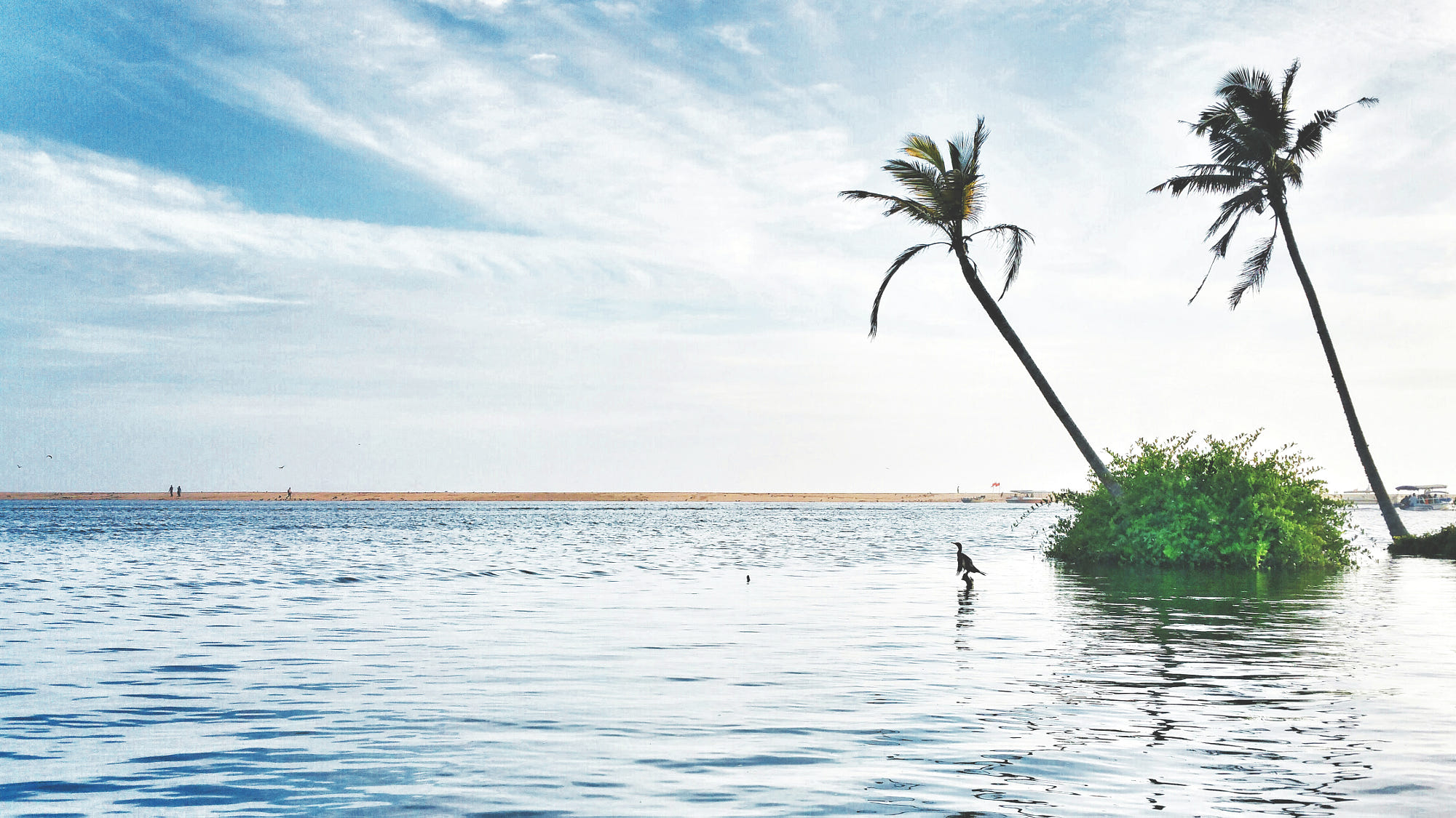
Poovar is a tourist town in Neyyattinkara (tehsil) in the Thiruvananthapuram district of Kerala state, South India. This village is almost at the southern tip of Thiruvananthapuram while the next village, Pozhiyoor, marks the end of Kerala. This village beach attracts tourists throughout the year. Thiruvananthapuram Greenfield Shipyard A major Greenfield Shipyard is coming up in Poovar. Kerala government owns 200 acres of land in this location which reduces land acquisition. The depth of the sea is 30-meter depth by nature. The Vizhinjam International Seaport is 10 km from this location. State government offices *Panchayath Office *Sub Registrar's Office *Village Office *Agriculture Office *Govt. Hospital *Govt. Homeopathic Hospital *Govt. Ayurveda Hospital *Fisheries Office *Govt.V & HSS *Fire & Rescue Office *Police Circle Office *KSRTC Depot *Coastal police station Geography Poovar lies very close to Vizhinjam, a natural harbour. The beach of Pozhiyoor named Pozhikkara ... [...More Info...] [...Related Items...] OR: [Wikipedia] [Google] [Baidu] |
Pozhiyoor
Pozhiyoor is a village in the district of Thiruvananthapuram in the State of Kerala in India. It has gradually grown to a well known tourist destination in India. The major attractions of Poovar tourism area are in Pozhiyoor. Pozhikkara, estuary formed by river Neyyar before it falls into the mighty Arabian Sea is the centre of attraction of tourism circuit in Poovar. Golden Beach, Elephant Rock, Anantha Victoria Marthanda Varma Canal, Pieta are other major attractions in Pozhiyoor Beach area in Thiruvananthapuram. It is at the coastal border of the Indian states of Kerala and Tamil Nadu . History The history of Pozhiyoor traces to the ancient ages. Pozhiyoor had an ancient port at the present golden sand beach at Pozhikkara and was a major trading centre on those days, around 1000 BC, period of David and Solomon. Pozhiyoor wan an ancient trading centre of timber, sandal wood, ivory, spices and other important goods of that era. It is believed that the ships of Solomon landed ... [...More Info...] [...Related Items...] OR: [Wikipedia] [Google] [Baidu] |
Ophir
Ophir (; ) is a port or region mentioned in the Bible, famous for its wealth. King Solomon received a shipment from Ophir every three years (1 Kings 10:22) which consisted of gold, silver, sandalwood, pearls, ivory, apes, and peacocks. Biblical references Ophir in Genesis 10 (the Table of Nations) is said to be the name of one of the sons of Joktan. The Books of Kings and Chronicles tell of a joint expedition to Ophir by King Solomon and the Tyrian king Hiram I from Ezion-Geber, a port on the Red Sea, that brought back large amounts of gold, precious stones and ' algum wood' and of a later failed expedition by king Jehoshaphat of Judah. The famous 'gold of Ophir' is referenced in several other books of the Hebrew Bible. In the Septuagint, other variants of the name are mentioned: ''Ōpheír'', ''Sōphír'', ''Sōpheír'' and ''Souphír''. The New Testament apocrypha book '' Cave of Treasures'' contains a passage: "And the children of Ophir, that is, Send, appo ... [...More Info...] [...Related Items...] OR: [Wikipedia] [Google] [Baidu] |
Kerala
Kerala ( ; ) is a state on the Malabar Coast of India. It was formed on 1 November 1956, following the passage of the States Reorganisation Act, by combining Malayalam-speaking regions of the erstwhile regions of Cochin, Malabar, South Canara, and Thiruvithamkoor. Spread over , Kerala is the 21st largest Indian state by area. It is bordered by Karnataka to the north and northeast, Tamil Nadu to the east and south, and the Lakshadweep Sea to the west. With 33 million inhabitants as per the 2011 census, Kerala is the 13th-largest Indian state by population. It is divided into 14 districts with the capital being Thiruvananthapuram. Malayalam is the most widely spoken language and is also the official language of the state. The Chera dynasty was the first prominent kingdom based in Kerala. The Ay kingdom in the deep south and the Ezhimala kingdom in the north formed the other kingdoms in the early years of the Common Era (CE). The region had been a prominent spice exp ... [...More Info...] [...Related Items...] OR: [Wikipedia] [Google] [Baidu] |
Thiruvananthapuram
Thiruvananthapuram (; ), also known by its former name Trivandrum (), is the capital of the Indian state of Kerala. It is the most populous city in Kerala with a population of 957,730 as of 2011. The encompassing urban agglomeration population is around 1.68 million. Located on the west coast of India near the extreme south of the mainland, Thiruvananthapuram is a major information technology hub in Kerala and contributes 55% of the state's software exports as of 2016. Referred to by Mahatma Gandhi as the "Evergreen city of India", the city is characterised by its undulating terrain of low coastal hills. The present regions that constitute Thiruvananthapuram were ruled by the Ays who were feudatories of the Chera dynasty. In the 12th century, it was conquered by the Kingdom of Venad. In the 18th century, the king Marthanda Varma expanded the territory, founded the princely state of Travancore, and made Thiruvananthapuram its capital. Travancore became the most domina ... [...More Info...] [...Related Items...] OR: [Wikipedia] [Google] [Baidu] |
Thiruvananthapuram District
Thiruvananthapuram District (), is the southernmost district in the Indian state of Kerala. The district was created in 1949, with its headquarters in the city of Thiruvananthapuram, which is also Kerala's administrative centre. The present district was created in 1956 by separating the four southernmost Taluks of the erstwhile district to form Kanyakumari district. The city of Thiruvananthapuram is also known as the Information technology capital of the State, since it is home to the first and largest IT park in India, Technopark, established in 1990. The district is home to more than 9% of total population of the state. The district covers an area of . At the 2011 census, it had a population of 3,301,427, making it the second most populous district in Kerala after Malappuram district. Its population density is the highest in Kerala, with . The district is divided into six subdistricts: Thiruvananthapuram, Chirayinkeezhu, Neyyattinkara, Nedumangadu, Varkala, and Katta ... [...More Info...] [...Related Items...] OR: [Wikipedia] [Google] [Baidu] |
Neyyar River
The Neyyar River is 56 km long river which flows through the Thiruvananthapuram district of Kerala in India. It flows from the Agastya Mala (''Agastyarkoodam'') in the Western Ghats. The town Neyyattinkara in Thiruvananthapuram district, is situated on the banks of the river, is named after this river. The river flows through the Neyyar wildlife sanctuary and into the Neyyar resorvoir. It then flows towards the west though the towns of Kallikkad, Kattakkada, Ottashekharamangalam, Keezhattoor, Anavoor, Aruvipuram, Neyyantinkara and Thirupuram. The river then empties into the Arabian Sea at the Poovar estuary. Tributaries include the ''Kallar'', ''Mullayar'' , and the ''Karavaliyar''. It has several small canals along the river and the Neyyar Irrigation Project, " Neyyar Dam", is situated in this river. A safari park is located near the river. Neyyar river has been severely affected by sand mining Sand mining is the extraction of sand, mainly through an open pit (or s ... [...More Info...] [...Related Items...] OR: [Wikipedia] [Google] [Baidu] |
Pozhikkara
Pozhikkara or Pozhikara is the Western border town of the Paravur municipality in the Kollam district of Kerala state in India. It is located at the South-Western tip of Kollam's coastal area. It is in the Arabian Sea coast. Pozhikara is a heritage site in Kerala. Visitors, including foreign visitors come to Paravur and Pozhikara to see the estuary, backwaters and beaches. As per the 2018 study report by Central Marine Fisheries Research Institute(CMRFRI) of India, Pozhikkara beach is one of the 16 best-kept beaches in India, topper from the state of Kerala. History Pozhikara has an important position in the history of Paravur and Kollam City. Paravur was a trade hub for foreign countries. An ancient document revealing the importance of Paravur and Pozhikara is 'Pozhikara sasanam' built in the 12th century at Pozhikara sivakshetram (later it became a devikshetram). It was encrypted on a 'sila phalakam' in 'vattazhuthu'. Another mention of Paravur is in 'Unninee ... [...More Info...] [...Related Items...] OR: [Wikipedia] [Google] [Baidu] |
Neyyattinkara (tehsil)
Neyyattinkara Taluk is a Taluk (tehsil) in Thiruvananthapuram district in the Indian state of Kerala. It situated in the Southern part of the Thiruvananthapuram district. It comprises 21 villages and one municipality. It is the southernmost taluk in the state. Settlements There are 21 villages and one Municipality in the taluk. Villages , Athiyannur, , |
List Of RTO Districts In India
This is a list of the Indian Regional Transport Offices and the assigned codes for vehicle registration. These are broken down to states or Union Territories and their districts. The offices are all belonging to a certain type: * ARTO : Additional Transport Office * AssRTO : Assistant Regional Transport Office * DTC : Deputy Transport Commissioner * DTO : District Transport Office * DyDZO : Deputy Directorate Zonal Office * DyRTO : Deputy Regional Transport Office * JtRTO : Joint Regional Transport Officer * JTC : Joint Transport Commissioner * LA : Licensing Authority * MVI : Motor Vehicle Inspector *MVSI: Motor Vehicle Sub Inspector * PVD : Public Vehicles Department * RLA : Regional Licensing Authority * RTA : Regional Transport Authority * RTO : Regional Transport Office * SDivO : Subdivisional Office * SDM : Subdivisional Magistrate * SRTO : Sub Regional Transport Office * STA : State Transport Authority * UO: Unit Office * WIAA : Western India Automobile Association AN ... [...More Info...] [...Related Items...] OR: [Wikipedia] [Google] [Baidu] |
Greece
Greece,, or , romanized: ', officially the Hellenic Republic, is a country in Southeast Europe. It is situated on the southern tip of the Balkans, and is located at the crossroads of Europe, Asia, and Africa. Greece shares land borders with Albania to the northwest, North Macedonia and Bulgaria to the north, and Turkey to the northeast. The Aegean Sea lies to the east of the mainland, the Ionian Sea to the west, and the Sea of Crete and the Mediterranean Sea to the south. Greece has the longest coastline on the Mediterranean Basin, featuring thousands of islands. The country consists of nine traditional geographic regions, and has a population of approximately 10.4 million. Athens is the nation's capital and largest city, followed by Thessaloniki and Patras. Greece is considered the cradle of Western civilization, being the birthplace of democracy, Western philosophy, Western literature, historiography, political science, major scientific and mathematical p ... [...More Info...] [...Related Items...] OR: [Wikipedia] [Google] [Baidu] |
Rome
, established_title = Founded , established_date = 753 BC , founder = King Romulus ( legendary) , image_map = Map of comune of Rome (metropolitan city of Capital Rome, region Lazio, Italy).svg , map_caption = The territory of the ''comune'' (''Roma Capitale'', in red) inside the Metropolitan City of Rome (''Città Metropolitana di Roma'', in yellow). The white spot in the centre is Vatican City. , pushpin_map = Italy#Europe , pushpin_map_caption = Location within Italy##Location within Europe , pushpin_relief = yes , coordinates = , coor_pinpoint = , subdivision_type = Country , subdivision_name = Italy , subdivision_type2 = Regions of Italy, Region , subdivision_name2 = Lazio , subdivision_type3 = Metropolitan cities of Italy, Metropolitan city , subdivision_name3 = Metropolitan City of Rome Capital, Rome Capital , government_footnotes= , government_type = Mayor–council gover ... [...More Info...] [...Related Items...] OR: [Wikipedia] [Google] [Baidu] |
Marco Polo
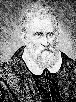
Marco Polo (, , ; 8 January 1324) was a Venetian merchant, explorer and writer who travelled through Asia along the Silk Road between 1271 and 1295. His travels are recorded in '' The Travels of Marco Polo'' (also known as ''Book of the Marvels of the World '' and ''Il Milione'', ), a book that described to Europeans the then mysterious culture and inner workings of the Eastern world, including the wealth and great size of the Mongol Empire and China in the Yuan Dynasty, giving their first comprehensive look into China, Persia, India, Japan and other Asian cities and countries. Born in Venice, Marco learned the mercantile trade from his father and his uncle, Niccolò and Maffeo, who travelled through Asia and met Kublai Khan. In 1269, they returned to Venice to meet Marco for the first time. The three of them embarked on an epic journey to Asia, exploring many places along the Silk Road until they reached Cathay (China). They were received by the royal court of Kublai Kha ... [...More Info...] [...Related Items...] OR: [Wikipedia] [Google] [Baidu] |


