|
Piketberg Mountain Range
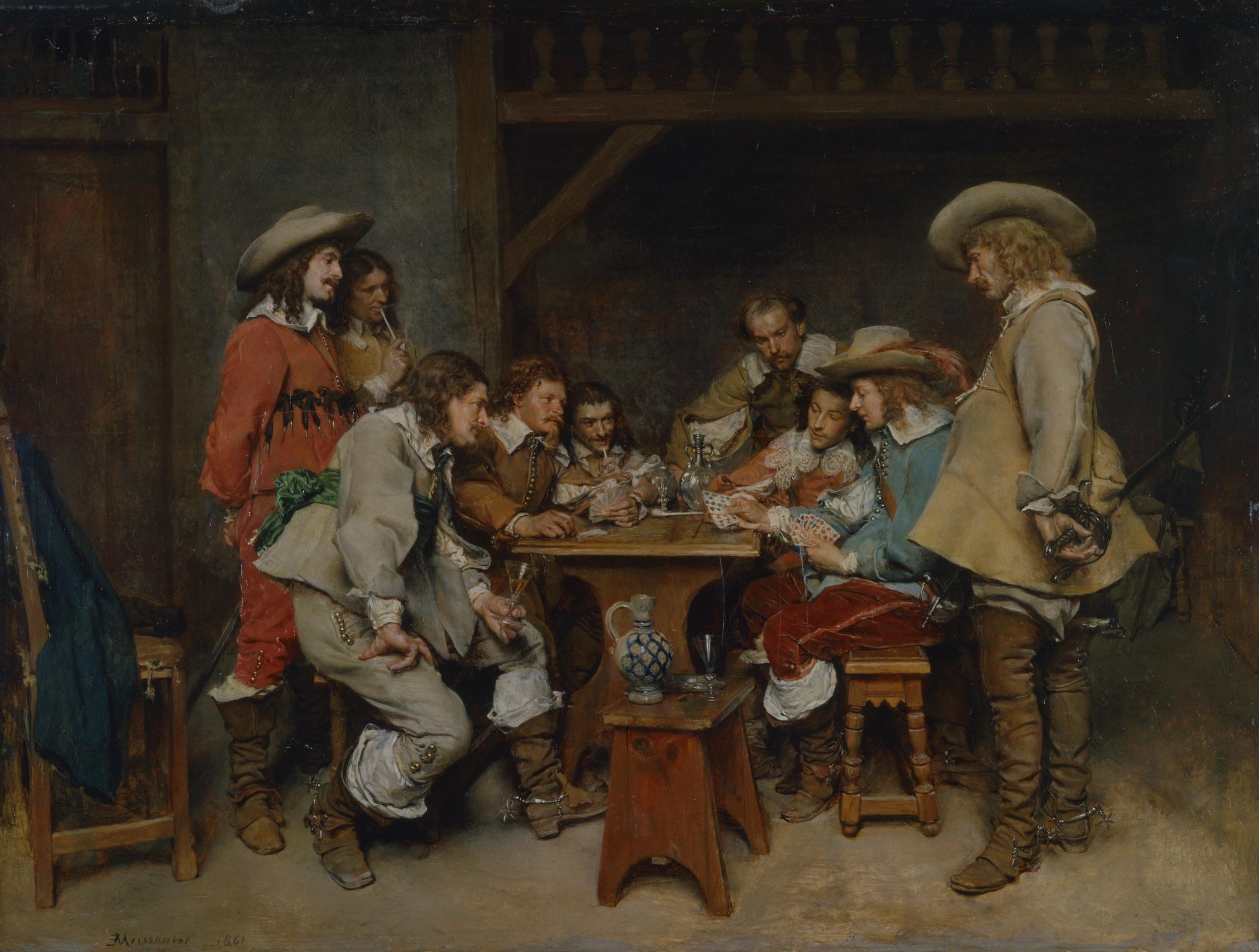
The Piketberg Mountain Range is a mountain range located in the Swartland (Black land) region of the Western Cape in South Africa. The mountain range is made up of low mountains primarily composed of Table Mountain Sandstone. It is a mountain range, which stands alone, an island bordered by only three towns – Aurora to the West, Redelinghuys to the North and Piketberg on its Eastern slopes. It is accessed by the Versfeld Pass. Etymology The name originates from the old Dutch word 'picquet' as a small military outpost or 'pickets' were posted here in the 1670s to protect the farmers from cattle rustling raids by the Kogikwa Khoikhoi led by Gonnema. Another possible source of Piketberg's name could be related to the French card game piquet. According to folklore, a French refugee (or Huguenot The Huguenots ( , ; ) are a Religious denomination, religious group of French people, French Protestants who held to the Reformed (Calvinist) tradition of Protestantism. The ter ... [...More Info...] [...Related Items...] OR: [Wikipedia] [Google] [Baidu] |
Swartland
The Swartland is a region of Western Cape Province that begins some north of Cape Town and consists of the area between the towns of Malmesbury, South Africa, Malmesbury in the south, Darling, Western Cape, Darling in the west, Piketberg in the north, Moorreesburg in the middle and the Riebeek West and Riebeek Kasteel in the east. Jan van Riebeeck called this softly undulating country between the mountain ranges "Het Zwarte Land" (the Black Land) because of the endemic Renosterbos (''Elytropappus rhinocerotis''). After the rains, mainly in winter, the Renosterbos takes on a dark appearance when viewed from the distance in large numbers. This is due to the fine leaf-hairs adhering to the leaves when wet. The wide fertile plain is the bread basket of Cape Town with its wheat fields reaching up to the foot of the mountains, interrupted by wine, fruit, and vegetable farms. In Moorreesburg can be found only one of two museums in the world that shows the history of wheat farming. Vitic ... [...More Info...] [...Related Items...] OR: [Wikipedia] [Google] [Baidu] |
Western Cape
The Western Cape ( ; , ) is a provinces of South Africa, province of South Africa, situated on the south-western coast of the country. It is the List of South African provinces by area, fourth largest of the nine provinces with an area of , and List of South African provinces by population, the third most populous, with an estimated 7 million inhabitants in 2020. About two-thirds of these inhabitants live in the metropolitan area of Cape Town, which is also the provincial capital. The Western Cape was created in 1994 from part of the former Cape Province. The two largest cities are Cape Town and George, Western Cape, George. Geography The Western Cape is roughly L-shaped, extending north and east from the Cape of Good Hope, in the southwestern corner of South Africa. It stretches about northwards along the Atlantic coast and about eastwards along the South African south coast (Southern Indian Ocean). It is bordered on the north by the Northern Cape and on the east by ... [...More Info...] [...Related Items...] OR: [Wikipedia] [Google] [Baidu] |
South Africa
South Africa, officially the Republic of South Africa (RSA), is the Southern Africa, southernmost country in Africa. Its Provinces of South Africa, nine provinces are bounded to the south by of coastline that stretches along the Atlantic Ocean, South Atlantic and Indian Ocean; to the north by the neighbouring countries of Namibia, Botswana, and Zimbabwe; to the east and northeast by Mozambique and Eswatini; and it encloses Lesotho. Covering an area of , the country has Demographics of South Africa, a population of over 64 million people. Pretoria is the administrative capital, while Cape Town, as the seat of Parliament of South Africa, Parliament, is the legislative capital, and Bloemfontein is regarded as the judicial capital. The largest, most populous city is Johannesburg, followed by Cape Town and Durban. Cradle of Humankind, Archaeological findings suggest that various hominid species existed in South Africa about 2.5 million years ago, and modern humans inhabited the ... [...More Info...] [...Related Items...] OR: [Wikipedia] [Google] [Baidu] |
Table Mountain Sandstone
Table Mountain Sandstone (TMS), formally known by its geological name the Peninsula Formation Sandstone, is a group of rock formations within the Cape Supergroup sequence. While the term "Table Mountain Sandstone" remains widely used, it is no longer formally recognized; the correct geological name is "Peninsula Formation Sandstone," which is part of the Table Mountain Group. The name originates from Table Mountain, the famous landmark in Cape Town, South Africa. For consistency with common usage, the term "Table Mountain Sandstone" will continue to be used throughout this article. Composed primarily of quartzitic sandstone, Table Mountain Sandstone was deposited between 510million years ago (Cambrian Period) and 400million years ago (Silurian Period). It is the hardest and most erosion-resistant layer of the Cape Supergroup, making it responsible for the highest peaks and steepest cliffs of the Cape Fold Belt. Despite being the oldest and lowermost layer of the Cape Sup ... [...More Info...] [...Related Items...] OR: [Wikipedia] [Google] [Baidu] |
Aurora, South Africa
Aurora is a town on the west coast of South Africa situated 43 kilometres north-west of Piketberg Piketberg (also sometimes spelt Piquetberg in the past) is a town in the Western Cape, South Africa, located about 80 km east of Saldanha Bay. The original spelling of the name was "Piquetberg". The town is in the foothills of the Piketberg mount ... and 29km south of Redelinghuys. Established in 1906, it was named after the Roman goddess of dawn. References {{West Coast District Municipality Populated places in the Bergrivier Local Municipality ... [...More Info...] [...Related Items...] OR: [Wikipedia] [Google] [Baidu] |
Redelinghuys
Redelinghuys is a village in the Bergrivier Local Municipality in the Western Cape province of South Africa, located about north of Cape Town on the Verlorevlei River. The 2001 Census recorded the population as 581 people in 167 households. The village is situated on the R366 regional route between Piketberg and Elands Bay. It is served by a police station, a public library, a satellite health clinic, and two primary schools. The town has a predominantly Victorian architecture. Verlorenvlei On 23 September 2014 a part of the southern shore of the vlei was declared as a provincial heritage site for reasons associated with the vernacular fishing village located there. On the same date the Diepkloof Rock Shelter, an internationally important archaeological site associated with the emergence of modern humans and intrinsically connected to the ecology of the vlei, was also declared. In 1991, the wetland was declared a Ramsar site. The estuary is considered an Important Bird ... [...More Info...] [...Related Items...] OR: [Wikipedia] [Google] [Baidu] |
Piketberg
Piketberg (also sometimes spelt Piquetberg in the past) is a town in the Western Cape, South Africa, located about 80 km east of Saldanha Bay. The original spelling of the name was "Piquetberg". The town is in the foothills of the Piketberg mountains, a range of low mountains formed from Table Mountain Sandstone. The area around the mountains is conducive to the farming of wheat, while the area on top of the Piketberg Mountains range (called Piket-Bo-Berg), being cooler and generally frost-free, is suited to the farming of fruit and Rooibos Tea. Piketberg has a large Dutch Reformed Church designed by the architect Carl Otto Hager in his trademark neo-Gothic style. History The area was inhabited by the Khoikhoi and the San before the arrival of 21 Dutch, Huguenot and German families in 1705-06, and there is still well-preserved San rock art in the mountains. There was once a small military post in the town to protect the livestock of farmers from raids by the Khoikhoi. B ... [...More Info...] [...Related Items...] OR: [Wikipedia] [Google] [Baidu] |
Versfeld Pass
Versfeld Pass is a mountain pass located to the west of the R366, the pass is used to give access to the top of the Piketberg mountain range where many fruit farms are located. The pass is two lanes wide and often has heavy motor vehicles using it to reach the aforementioned farms. The summit of the pass is 689m high. There is a viewpoint both at the summit, and midway through the pass for vehicles to pull over. First Pass History The first pass, sometimes referred to as “die ossewapas” (the ox wagon pass) by the locals, was built from 9 km outside of Piketberg to the top of Piket-Bo-Berg. The first pass was built in 1889 by Johannes Paulus Eksteen Verfeld (John). Before the pass was built, the journey to the top of the mountain was a dangerous and slow trip, typically taking 4 hours to traverse the mountain. Later it was recorded that John had many close encounters on these trips where his children almost died, which strengthened his belief that a pass was needed ... [...More Info...] [...Related Items...] OR: [Wikipedia] [Google] [Baidu] |
Khoekhoe
Khoikhoi ( /ˈkɔɪkɔɪ/ ''KOY-koy'') (or Khoekhoe in Namibian orthography) are the traditionally nomadic pastoralist indigenous population of South Africa. They are often grouped with the hunter-gatherer San (literally "foragers") peoples, the accepted term for the two people being Khoisan. The designation "Khoikhoi" is actually a ''kare'' or praise address, not an ethnic endonym, but it has been used in the literature as an ethnic term for Khoe-speaking peoples of Southern Africa, particularly pastoralist groups, such as the Inqua, Griqua, Gonaqua, Nama, Attequa. The Khoekhoe were once known as '' Hottentots'', a term now considered offensive."Hottentot, n. and adj." ''OED Online'', Oxford University Press, March 2018, www.oed.com/view/Entry/88829. Accessed 13 May 2018. Citing G. S. Nienaber, 'The origin of the name "Hottentot" ', ''African Studies'', 22:2 (1963), 65–90, . See also . The Khoekhoe are thought to have diverged from other humans 100,000 to 2 ... [...More Info...] [...Related Items...] OR: [Wikipedia] [Google] [Baidu] |
Piquet
Piquet (; ) is an early 16th-century plain-trick card game for two players that became France's national game. David Parlett calls it a "classic game of relatively great antiquity... still one of the most skill-rewarding card games for two" but one which is now only played by "aficionados and connoisseurs." Historically also known as Sant or Saunt from the French ''Cent''. History Piquet is one of the oldest card games still being played. It is first mentioned, as ''Le Cent'', in a written reference dating to 1535, in ''Gargantua and Pantagruel'' by Rabelais. Although legend attributes the game's creation to Stephen de Vignolles, also known as La Hire, a knight in the service of Charles VII during the Hundred Years' War, it may possibly have come into France from Spain because the words "''pique''" and "''repique''", the main features of the game, are of Spanish origin. The earliest clear mention of the game – leaving aside various predecessors – is in 1585 by Jacques Perr ... [...More Info...] [...Related Items...] OR: [Wikipedia] [Google] [Baidu] |
Folklore
Folklore is the body of expressive culture shared by a particular group of people, culture or subculture. This includes oral traditions such as Narrative, tales, myths, legends, proverbs, Poetry, poems, jokes, and other oral traditions. This also includes material culture, such as traditional building styles common to the group. Folklore also encompasses customary lore, taking actions for folk beliefs, including folk religion, and the forms and rituals of celebrations such as Christmas, weddings, folk dances, and Rite of passage, initiation rites. Each one of these, either singly or in combination, is considered a Cultural artifact, folklore artifact or Cultural expressions, traditional cultural expression. Just as essential as the form, folklore also encompasses the transmission of these artifacts from one region to another or from one generation to the next. Folklore is not something one can typically gain from a formal school curriculum or study in the fine arts. Instead, thes ... [...More Info...] [...Related Items...] OR: [Wikipedia] [Google] [Baidu] |


