|
Penterry
Penterry ( cy, Penteri) is a small rural parish of in Monmouthshire, Wales. It is located between the villages of St. Arvans and Tintern, about north of Chepstow, within the Wye Valley Area of Outstanding Natural Beauty and about from the border with England. It now contains an isolated parish church adjoining the site of a deserted village, and a few farms. History The first evidence of human habitation in the parish is a hill fort at Gaer Hill. This provides a panoramic and strategically important view towards the Severn estuary, and is believed to have been an Iron Age base and lookout point for the Silures. Joseph Bradney, ''A History of Monmouthshire: The Hundred of Caldicot'', 1933 Because of its similarities with another monument on Holyhead Mountain in Anglesey, it is thought possible that the inner earthwork is a Roman signal station lying within an earlier defensive enclosure.John Newman, ''The Buildings of Wales: Gwent/Monmouthshire'', 2000, Althoug ... [...More Info...] [...Related Items...] OR: [Wikipedia] [Google] [Baidu] |
Tintern
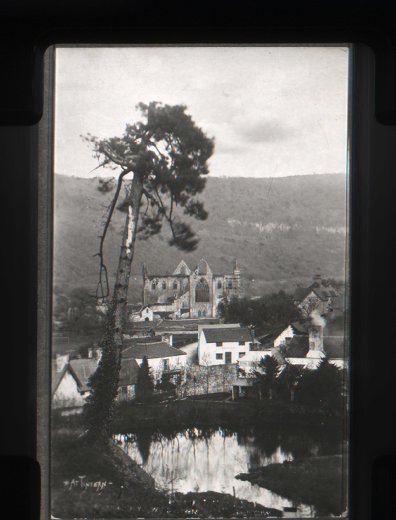
Tintern ( cy, Tyndyrn) is a village in the community of Wye Valley, on the west bank of the River Wye in Monmouthshire, Wales, close to the border with England, about north of Chepstow. It is popular with tourists, in particular for the scenery and the ruined Tintern Abbey. Modern Tintern has been formed through the coalescence of two historic villages; Tintern Parva, forming the northern end of the village, and Chapel Hill, which forms the southern end. The village is designated as a Conservation Area. In 2022 the community was renamed from "Tintern" to "Wye Valley" and had boundary changes. History Early history A ford across the navigable and tidal River Wye was in use in Roman times, close to the site of the abbey. After the Romans withdrew from Wales, the kingdom of Gwent emerged, and, according to tradition, in the 6th century one of their kings, Tewdrig, came out of retirement as a Tintern hermit to defeat the invading Saxons in battle, perhaps at a site known today as ... [...More Info...] [...Related Items...] OR: [Wikipedia] [Google] [Baidu] |
Monmouthshire
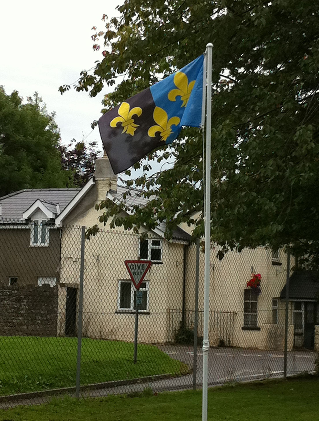
Monmouthshire ( cy, Sir Fynwy) is a county in the south-east of Wales. The name derives from the historic county of the same name; the modern county covers the eastern three-fifths of the historic county. The largest town is Abergavenny, with other towns and large villages being: Caldicot, Chepstow, Monmouth, Magor and Usk. It borders Torfaen, Newport and Blaenau Gwent to the west; Herefordshire and Gloucestershire to the east; and Powys to the north. Historic county The historic county of Monmouthshire was formed from the Welsh Marches by the Laws in Wales Act 1535 bordering Gloucestershire to the east, Herefordshire to the northeast, Brecknockshire to the north, and Glamorgan to the west. The Laws in Wales Act 1542 enumerated the counties of Wales and omitted Monmouthshire, implying that the county was no longer to be treated as part of Wales. However, for all purposes Wales had become part of the Kingdom of England, and the difference had little practical effec ... [...More Info...] [...Related Items...] OR: [Wikipedia] [Google] [Baidu] |
Holyhead Mountain
Holyhead Mountain (''Mynydd Twr'' in Welsh: from ''(pen)twr'', meaning "tower") is the highest mountain on Holy Island, Anglesey, and the highest in the county of Anglesey, north Wales. It lies about two miles west of the town of Holyhead, and slopes steeply down to the Irish Sea on two sides. Ireland can be seen from here on a clear day and the mountain is an important site for seabirds. The mountain Holyhead Mountain is located on Holy Island, Anglesey, jutting out into the Irish Sea. At , it is the highest mountain in the county of Anglesey, being higher than Bodafon Mountain () on the main island. On the east side of the mountain is the site of a late Roman watchtower called '' Caer y Tŵr'' (Tower Fortress), from which Holyhead Mountain's Welsh name is derived. Holyhead Mountain also has the remains of a group of Iron Age huts near its foot. This shows evidence of being occupied in the middle part of the Stone Age, the Neolithic Age, the Bronze Age and the Iron Age. Ther ... [...More Info...] [...Related Items...] OR: [Wikipedia] [Google] [Baidu] |
Plague Pit
A plague pit is the informal term used to refer to mass graves in which victims of the Black Death were buried. The term is most often used to describe pits located in Great Britain, but can be applied to any place where bubonic plague victims were buried. Origin The plague which swept across China, Middle East, and Europe in the 14th century is estimated to have killed between one-third and two-thirds of Europe's population.Stéphane Barry and Norbert Gualde, "The Greatest Epidemic of History" ("La plus grande épidémie de l'histoire", in '' L'Histoire'' n° 310, June 2006, pp.45-46, say "between one-third and two-thirds"; Robert Gottfried (1983). "Black Death" in ''Dictionary of the Middle Ages The ''Dictionary of the Middle Ages'' is a 13-volume encyclopedia of the Middle Ages published by the American Council of Learned Societies between 1982 and 1989. It was first conceived and started in 1975 with American medieval historian Jos ...'', volume 2, pp.257-67, says "be ... [...More Info...] [...Related Items...] OR: [Wikipedia] [Google] [Baidu] |
Black Death
The Black Death (also known as the Pestilence, the Great Mortality or the Plague) was a bubonic plague pandemic occurring in Western Eurasia and North Africa from 1346 to 1353. It is the most fatal pandemic recorded in human history, causing the deaths of people, peaking in Europe from 1347 to 1351. Bubonic plague is caused by the bacterium '' Yersinia pestis'' spread by fleas, but it can also take a secondary form where it is spread by person-to-person contact via aerosols causing septicaemic or pneumonic plagues. The Black Death was the beginning of the second plague pandemic. The plague created religious, social and economic upheavals, with profound effects on the course of European history. The origin of the Black Death is disputed. The pandemic originated either in Central Asia or East Asia before spreading to Crimea with the Golden Horde army of Jani Beg as he was besieging the Genoese trading port of Kaffa in Crimea (1347). From Crimea, it was most like ... [...More Info...] [...Related Items...] OR: [Wikipedia] [Google] [Baidu] |
Infirmary
Infirmary may refer to: *Historically, a hospital, especially a small hospital *A first aid room in a school, prison, or other institution *A dispensary A dispensary is an office in a school, hospital, industrial plant, or other organization that dispenses medications, medical supplies, and in some cases even medical and dental treatment. In a traditional dispensary set-up, a pharmacist dispen ... (an office that dispenses medications) *A clinic {{disambiguation ... [...More Info...] [...Related Items...] OR: [Wikipedia] [Google] [Baidu] |
Tintern Abbey
Tintern Abbey ( cy, Abaty Tyndyrn ) was founded on 9 May 1131 by Walter de Clare, Lord of Chepstow. It is situated adjacent to the village of Tintern in Monmouthshire, on the Welsh bank of the River Wye, which at this location forms the border between Monmouthshire in Wales and Gloucestershire in England. It was the first Cistercian foundation in Wales, and only the second in Britain (after Waverley Abbey). The abbey fell into ruin after the Dissolution of the Monasteries in the 16th century. Its remains have been celebrated in poetry and painting from the 18th century onwards. In 1984, Cadw took over responsibility for managing the site. Tintern Abbey is visited by approximately 70,000 people every year. History Earliest history The Monmouthshire writer Fred Hando records the tradition of Tewdrig, King of Glywysing who retired to a hermitage above the river at Tintern. He then emerged to lead his son's army to victory against the Saxons at Pont-y-Saeson, a ba ... [...More Info...] [...Related Items...] OR: [Wikipedia] [Google] [Baidu] |
Monastic Grange
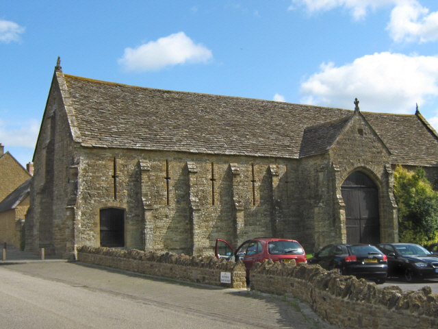
Monastic granges were outlying landholdings held by monasteries independent of the manorial system. The first granges were owned by the Cistercians and other orders followed. Wealthy monastic houses had many granges, most of which were largely agricultural providing food for the monastic community. A grange might be established adjacent to the monastery but others were established wherever it held lands, some at a considerable distance. Some granges were worked by lay-brothers belonging to the order, others by paid labourers. Granges could be of six known types: agrarian, sheep or cattle farms, horse studs, fisheries and industrial complexes. Industrial granges were significant in the development of medieval industries, particularly iron working. Description Granges were landed estates used for food production, centred on a farm and out-buildings and possibly a mill or a tithe barn. The word grange comes through French from Latin meaning a granary. The granges might be lo ... [...More Info...] [...Related Items...] OR: [Wikipedia] [Google] [Baidu] |
A466 Road
The A466, also known as the Wye Valley Road, is a road from Hereford, England to Chepstow, Wales via Monmouth, Tintern and the Wye Valley. The road was largely developed during the late 18th and early 19th centuries by turnpike trusts in Herefordshire and Monmouthshire. It replaced the River Wye as the principal means of transport to Tintern before the construction of the Wye Valley Railway in the late 19th century. The A466 remains an important route for local residents and tourists, and now provides access to the Severn Bridge on the M48 motorway. Route The A466 is about long and runs through the counties of Herefordshire and Gloucestershire in England, and Monmouthshire in Wales. It runs south from Kingsthorne, on the A49 south east of Hereford to Monmouth, crossing the A40. After crossing the River Wye at the Wye Bridge, Monmouth and Bigsweir Bridge near Llandogo, it follows a picturesque route south down the Wye valley through Tintern and Chepstow to the ... [...More Info...] [...Related Items...] OR: [Wikipedia] [Google] [Baidu] |
Devauden
Devauden ( cy, Y Dyfawden) is a village and community in Monmouthshire, southeast Wales. It is located between Chepstow and Monmouth near the top of the Trellech ridge on the B4293 road. The community covers an area of . The community includes the villages of Itton and Wolvesnewton, Llanfihangel-tor-y-mynydd and Newchurch. History There is evidence that an ancient ridgeway between Monmouth and the coast at Mathern passed through Devauden. Roman coins from the period of Antoninus Pius were found in the village in 1840. Devauden was said in the ''Anglo-Saxon Chronicle'' to have been the place where the Britons were overwhelmed and defeated by the combined forces of the Anglo-Saxon monarchs, Æthelbald of Mercia and Cuthred of Wessex, in 743. The name may be derived from the Welsh ''Ty'r ffawydden'', or "house of the beech tree". Until the mid-20th century the village was often known as ''The'' Devauden. Devauden and the nearby hamlet of Fedw or Veddw (from Welsh ''Y fedw' ... [...More Info...] [...Related Items...] OR: [Wikipedia] [Google] [Baidu] |
Monmouth
Monmouth ( , ; cy, Trefynwy meaning "town on the Monnow") is a town and community in Wales. It is situated where the River Monnow joins the River Wye, from the Wales–England border. Monmouth is northeast of Cardiff, and west of London. It is within the Monmouthshire local authority, and the parliamentary constituency of Monmouth. The population in the 2011 census was 10,508, rising from 8,877 in 2001. Monmouth is the historic county town of Monmouthshire although Abergavenny is now the county town. The town was the site of a small Roman fort, Blestium, and became established after the Normans built Monmouth Castle . The medieval stone gated bridge is the only one of its type remaining in Britain. The castle later came into the possession of the House of Lancaster, and was the birthplace of King Henry V in 1386. In 1536, it became the county town of Monmouthshire. A market town and a focus of educational and cultural activities for the surrounding rural area, ... [...More Info...] [...Related Items...] OR: [Wikipedia] [Google] [Baidu] |
Blestium
Blestium (also Blestio in the Antonine Itinerary (Iter XIII)) was a small fort and iron working centre in the Roman province of Britannia Superior, part of Roman Britain. It has been identified with the site of the later town of Monmouth in south east Wales, located adjoining the confluence of the River Monnow with the River Wye. A plaque on the local bank records its position. History and remains The reference to ''Blestio'' in the Antonine Itinerary is the only one made to the settlement in Roman sources. It was located on the road between Caerleon (') and Silchester ('), midway between the fort at Usk (') and the iron making centre at ', believed to be at Weston under Penyard near Ross-on-Wye. It is suggested that the name may derive from the Greek word βλαστος, meaning "offshoot". It is now generally accepted that a Neronian or pre- Flavian military fort was established at Monmouth, perhaps before 55 AD, making it the earliest Roman fort in Wales. [...More Info...] [...Related Items...] OR: [Wikipedia] [Google] [Baidu] |


